Kinney is a city in Saint Louis County, Minnesota, United States. The population was 169 at the time of the 2010 census.
| Name: | Kinney city |
|---|---|
| LSAD Code: | 25 |
| LSAD Description: | city (suffix) |
| State: | Minnesota |
| County: | St. Louis County |
| Elevation: | 1,545 ft (471 m) |
| Total Area: | 4.13 sq mi (10.68 km²) |
| Land Area: | 3.91 sq mi (10.13 km²) |
| Water Area: | 0.21 sq mi (0.55 km²) |
| Total Population: | 152 |
| Population Density: | 38.86/sq mi (15.01/km²) |
| ZIP code: | 55758 |
| Area code: | 218 |
| FIPS code: | 2733416 |
| GNISfeature ID: | 0661645 |
Online Interactive Map
Click on ![]() to view map in "full screen" mode.
to view map in "full screen" mode.
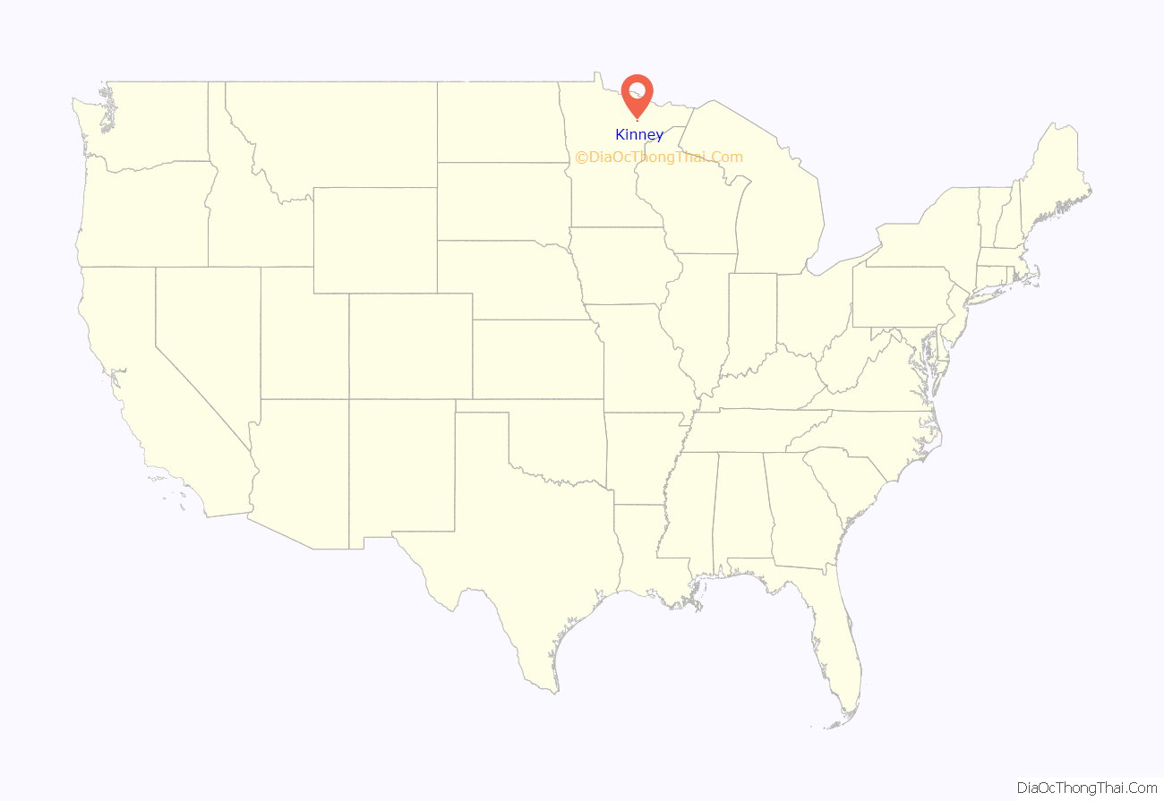
Kinney location map. Where is Kinney city?
History
Kinney gets its name from Hon. O. D. Kinney, who was one of the original European owners of the Merritt site in 1892 along with Judge J.T. Hale, and Capt. Joseph Sellwood. The land was originally occupied by Algonquian-speaking tribes, including the Ojibwe, Ottawa, and Potawatomi.
Republic of Kinney
By 1977, the City of Kinney, with a population of 325 according to the 1970 census, suffered from a failing water system, and was faced with a replacement cost of $186,000. After numerous unsuccessful attempts to secure funding from state and federal agencies due to bureaucratic red tape, agencies such as the United States Department of Housing and Urban Development (HUD), the Federal Housing Administration (FHA), and the Iron Range Resources and Rehabilitation Commission (IRRRC), the city council was led to believe that it would be easier to receive foreign aid if Kinney seceded from the union, declared war, and lost immediately. Mayor Mary Anderson and a supportive Kinney City Council sent a secession letter to U.S. Secretary of State Cyrus Vance on July 13, 1977.
The secession was never officially acknowledged by Vance or the U.S. The news story broke locally in the Mesabi Daily News on February 5, 1978, in an article by Ginny Wennen entitled “Move over Monaco, here comes Kinney.” The story garnered national and international attention beginning on February 7, 1978, when the story was featured on the NBC Nightly News with David Brinkley.
Jeno Paulucci, a businessman based in Duluth, Minnesota, was the first to acknowledge the new republic and offer ‘foreign aid’ in the form of a dark brown 1974 Ford LTD police squad car and 10 cases of Jenos Sausage Pizza Mix on February 13, 1978. The squad car was painted with a Republic of Kinney shield on the driver’s side that read “Commander in Chief, Republic of Kinney,” and “Chief of Police, Kinney, Mn.” on the passenger side.
In November 1978, the Iron Range Resources and Rehabilitation Board (IRRRB) approved $198,000 grant, allocated in three payments of $66,000 per year from the Taconite Area Environmental Protection Fund, to repair the existing water system, construct cement runoff basins, and install additional fire hydrants.
The Republic of Kinney went on to create and sell over 1,600 passports between March and April 1978 at $1.00 apiece. Later the republic created buttons and sold T-shirts, and had a summer festival called ‘Secession Days’, which was first held during the weekend of August 1-2, 1987.
The city celebrated the 30th anniversary of its “independence” as the Republic of Kinney during the weekend of July 13–15, 2007. In conjunction with the 30th anniversary of the Kinney secession, the city published a book titled Republic of Kinney.
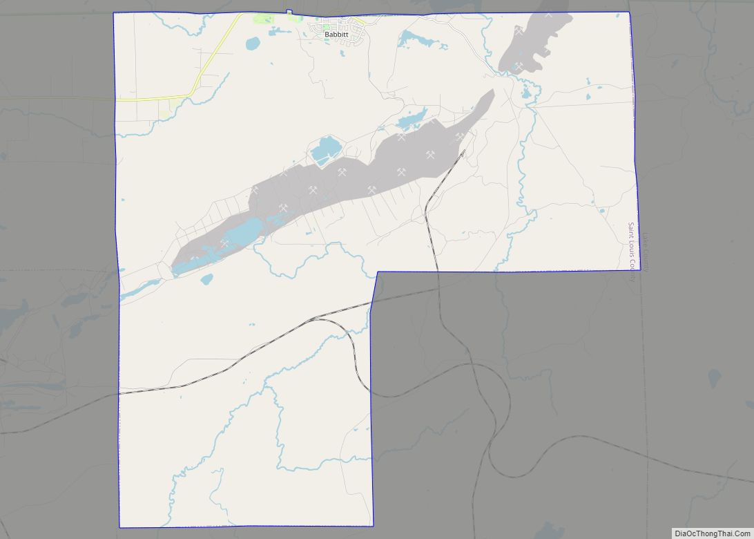
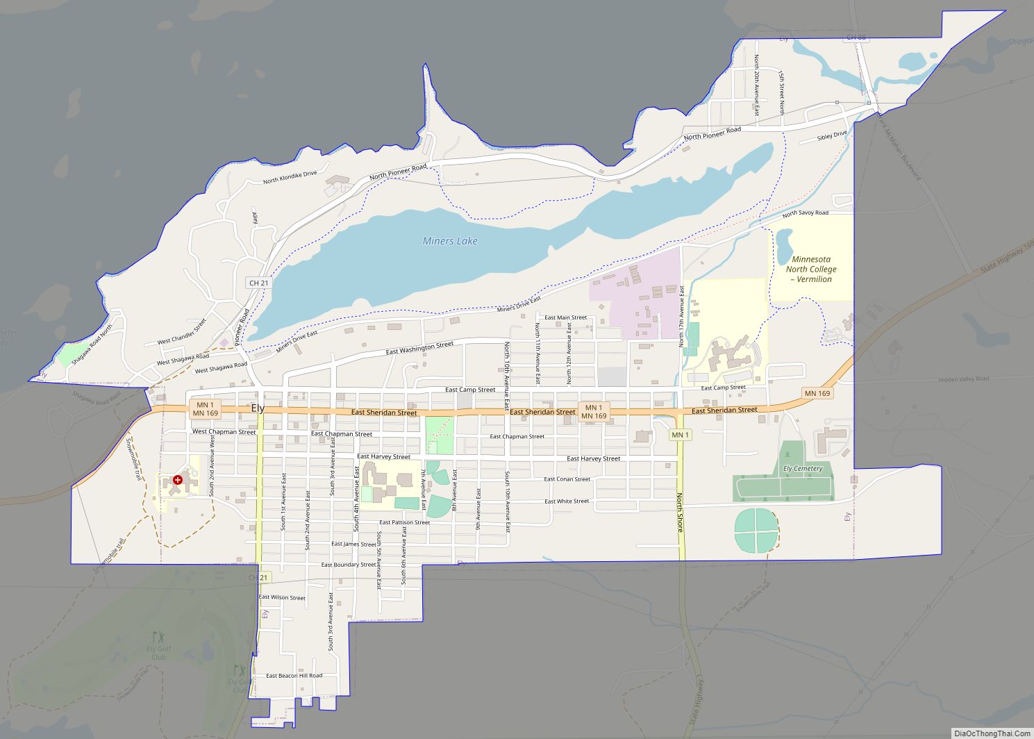
Kinney Road Map
Kinney city Satellite Map
Geography
According to the United States Census Bureau, the city has a total area of 4.83 square miles (12.51 km); 4.62 square miles (11.97 km) is land and 0.21 square miles (0.54 km) is water. U.S. Highway 169 serves as a main route in the area.
See also
Map of Minnesota State and its subdivision:- Aitkin
- Anoka
- Becker
- Beltrami
- Benton
- Big Stone
- Blue Earth
- Brown
- Carlton
- Carver
- Cass
- Chippewa
- Chisago
- Clay
- Clearwater
- Cook
- Cottonwood
- Crow Wing
- Dakota
- Dodge
- Douglas
- Faribault
- Fillmore
- Freeborn
- Goodhue
- Grant
- Hennepin
- Houston
- Hubbard
- Isanti
- Itasca
- Jackson
- Kanabec
- Kandiyohi
- Kittson
- Koochiching
- Lac qui Parle
- Lake
- Lake of the Woods
- Lake Superior
- Le Sueur
- Lincoln
- Lyon
- Mahnomen
- Marshall
- Martin
- McLeod
- Meeker
- Mille Lacs
- Morrison
- Mower
- Murray
- Nicollet
- Nobles
- Norman
- Olmsted
- Otter Tail
- Pennington
- Pine
- Pipestone
- Polk
- Pope
- Ramsey
- Red Lake
- Redwood
- Renville
- Rice
- Rock
- Roseau
- Saint Louis
- Scott
- Sherburne
- Sibley
- Stearns
- Steele
- Stevens
- Swift
- Todd
- Traverse
- Wabasha
- Wadena
- Waseca
- Washington
- Watonwan
- Wilkin
- Winona
- Wright
- Yellow Medicine
- Alabama
- Alaska
- Arizona
- Arkansas
- California
- Colorado
- Connecticut
- Delaware
- District of Columbia
- Florida
- Georgia
- Hawaii
- Idaho
- Illinois
- Indiana
- Iowa
- Kansas
- Kentucky
- Louisiana
- Maine
- Maryland
- Massachusetts
- Michigan
- Minnesota
- Mississippi
- Missouri
- Montana
- Nebraska
- Nevada
- New Hampshire
- New Jersey
- New Mexico
- New York
- North Carolina
- North Dakota
- Ohio
- Oklahoma
- Oregon
- Pennsylvania
- Rhode Island
- South Carolina
- South Dakota
- Tennessee
- Texas
- Utah
- Vermont
- Virginia
- Washington
- West Virginia
- Wisconsin
- Wyoming
