St. Vincent is a hamlet in Kittson County, Minnesota, United States. The population was 57 at the 2020 census.
| Name: | St. Vincent city |
|---|---|
| LSAD Code: | 25 |
| LSAD Description: | city (suffix) |
| State: | Minnesota |
| County: | Kittson County |
| Elevation: | 794 ft (242 m) |
| Total Area: | 1.08 sq mi (2.80 km²) |
| Land Area: | 1.03 sq mi (2.66 km²) |
| Water Area: | 0.06 sq mi (0.14 km²) |
| Total Population: | 57 |
| Population Density: | 55.50/sq mi (21.44/km²) |
| ZIP code: | 56755 |
| Area code: | 218 |
| FIPS code: | 2758144 |
| GNISfeature ID: | 0651079 |
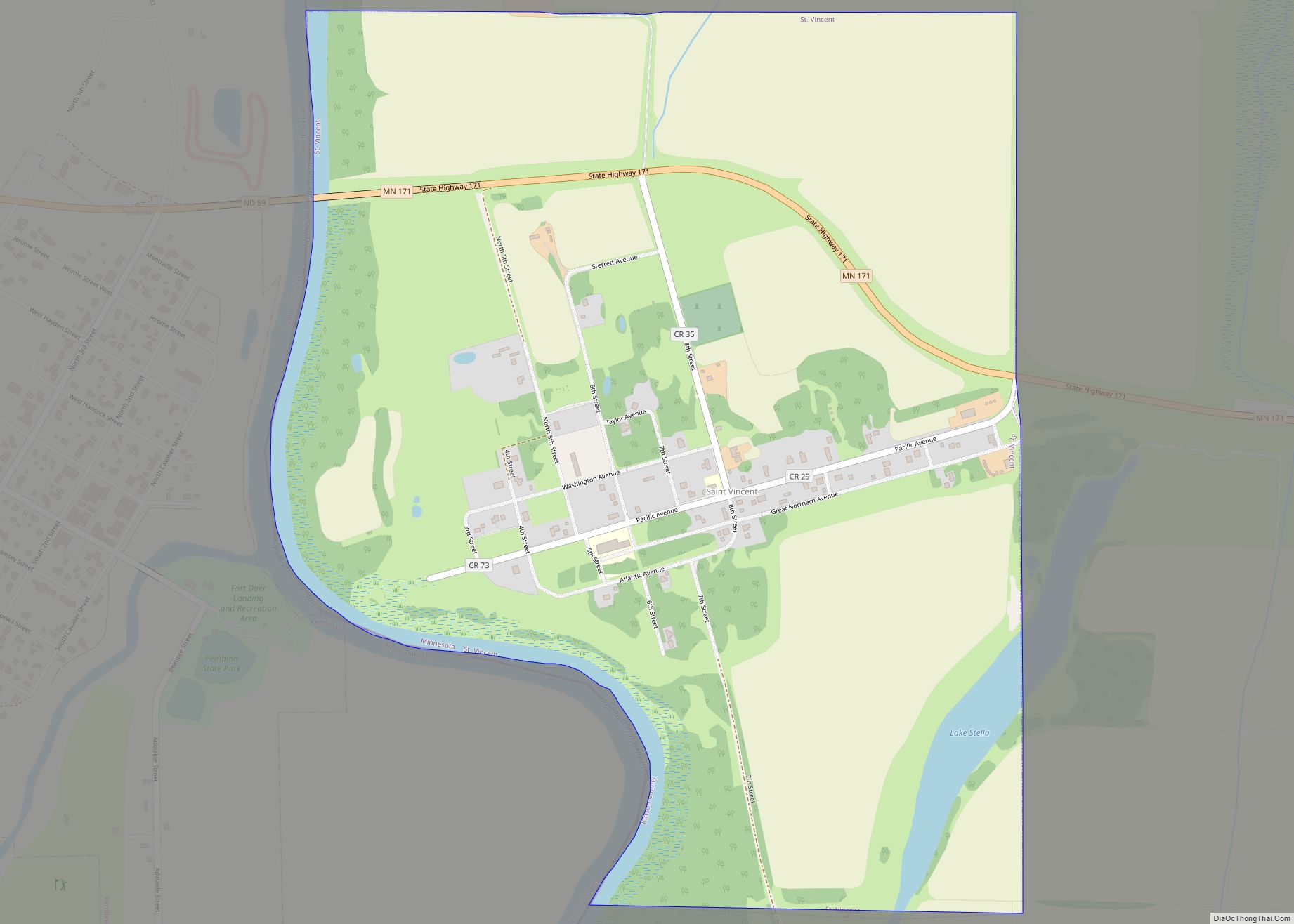
Online Interactive Map
Click on ![]() to view map in "full screen" mode.
to view map in "full screen" mode.
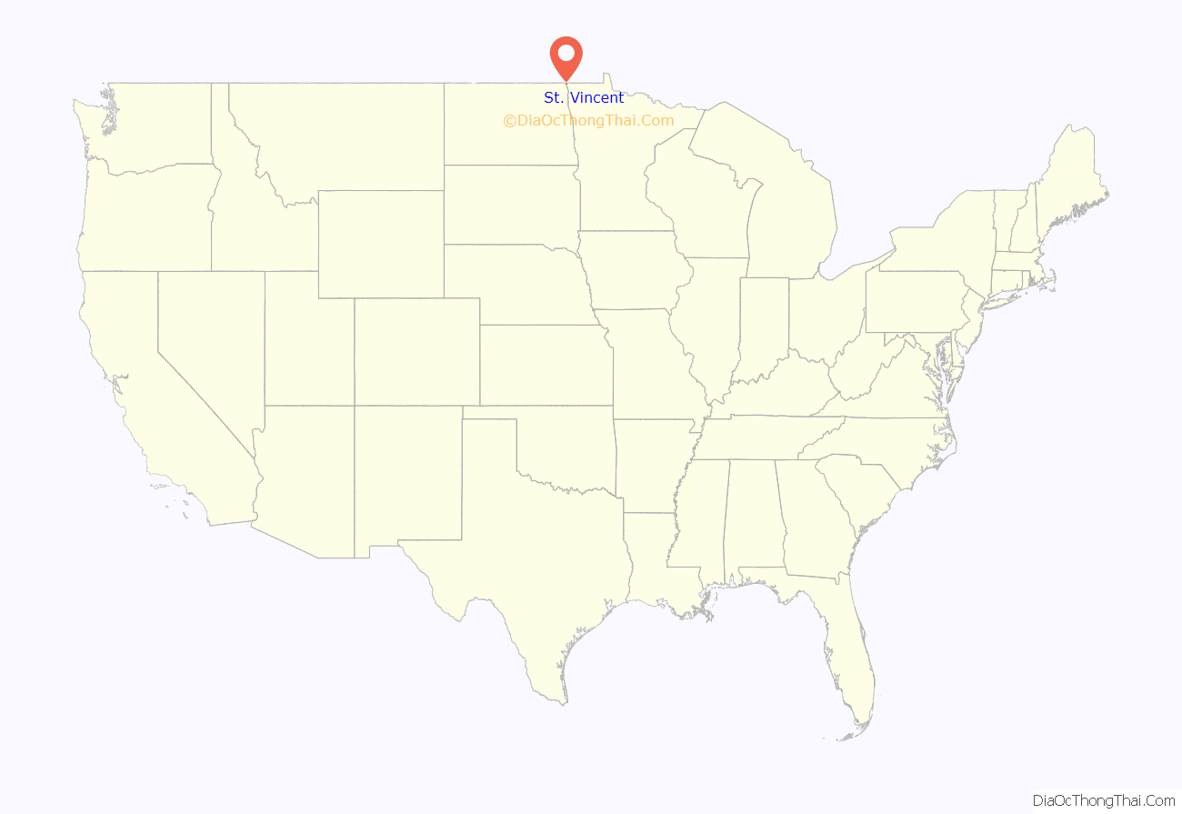
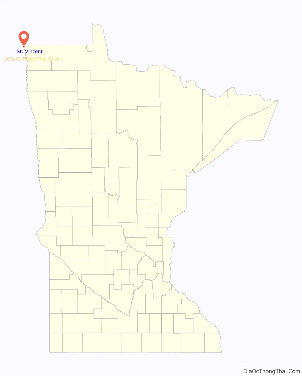
St. Vincent location map. Where is St. Vincent city?
History
St. Vincent, which is directly across the Red River from Pembina, was initially incorporated in 1857, just prior to statehood. In 1878, the St. Paul & Pacific Railroad line reached St. Vincent and opened the area to settlement. With the railroad coming through, settlers began arriving to stake their claims. Many of the earliest settlers to what would become Pembina and St. Vincent were Métis, going back to the late 18th century.
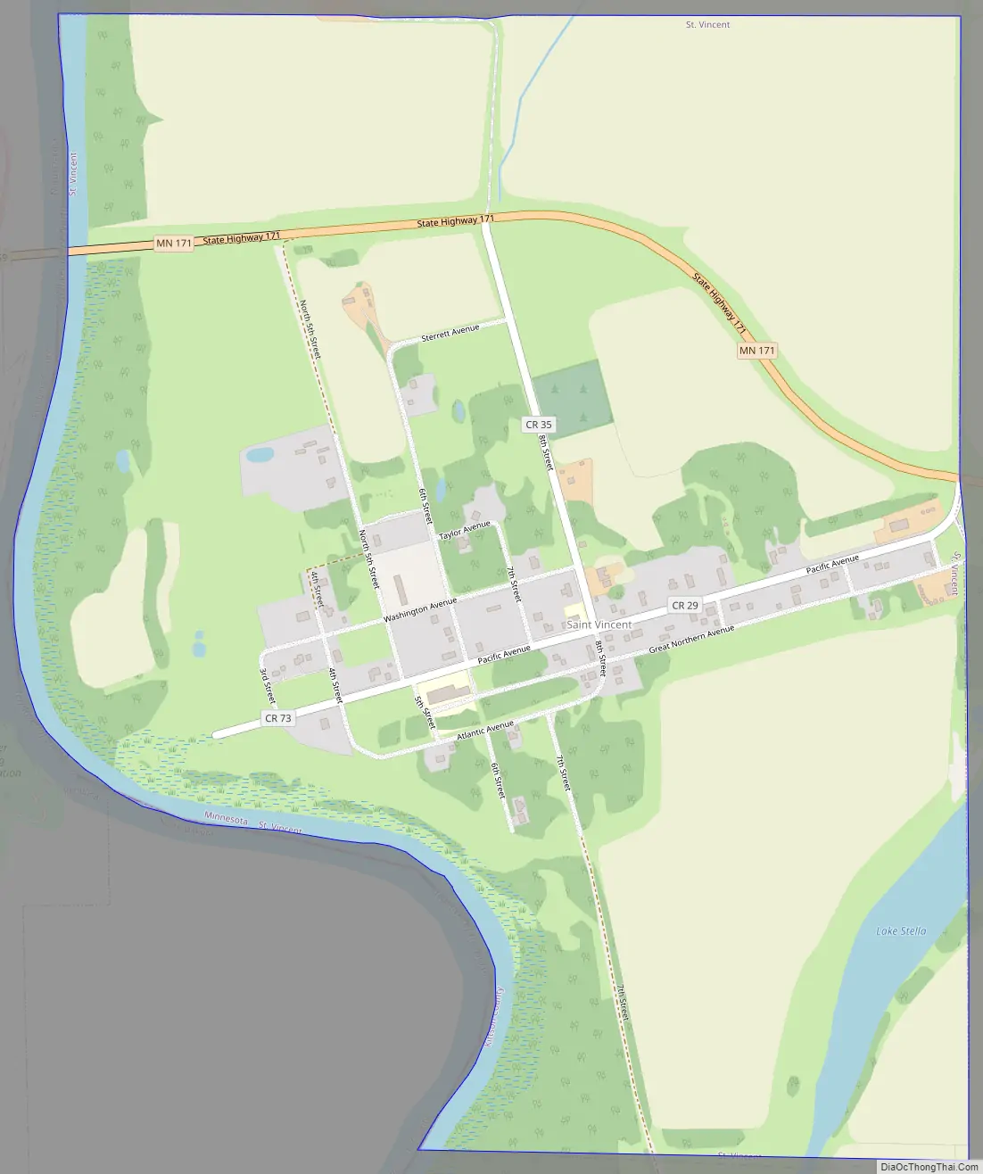
St. Vincent Road Map
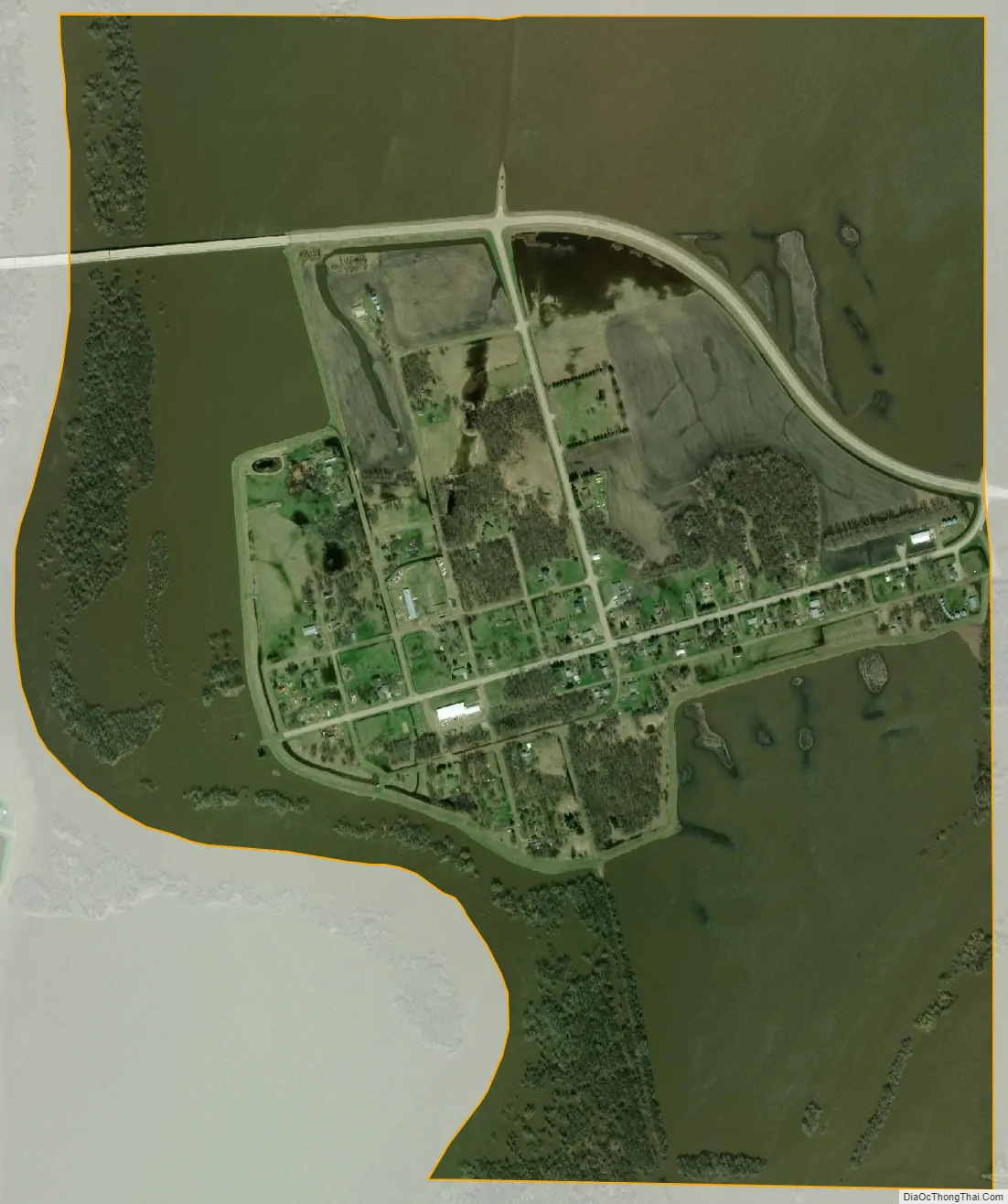
St. Vincent city Satellite Map
Geography
According to the United States Census Bureau, the city has a total area of 1.15 square miles (2.98 km), of which 1.08 square miles (2.80 km) is land and 0.07 square miles (0.18 km) is water.
The community is the westernmost community in Minnesota. It is situated on the banks of the Red River of the North, in the Red River Valley. It grew from one of the oldest settlements in the region, when it was part of an early fur-trading post established by Peter Grant in 1793. The city of Pembina, North Dakota borders it on the west, across the Red River of the North.
Minnesota Highway 171, U.S. Highway 75, 8th Street, and Pacific Avenue are four of the main routes in and around the community.
North Dakota Highway 59 and Interstate 29 are also nearby.
See also
Map of Minnesota State and its subdivision:- Aitkin
- Anoka
- Becker
- Beltrami
- Benton
- Big Stone
- Blue Earth
- Brown
- Carlton
- Carver
- Cass
- Chippewa
- Chisago
- Clay
- Clearwater
- Cook
- Cottonwood
- Crow Wing
- Dakota
- Dodge
- Douglas
- Faribault
- Fillmore
- Freeborn
- Goodhue
- Grant
- Hennepin
- Houston
- Hubbard
- Isanti
- Itasca
- Jackson
- Kanabec
- Kandiyohi
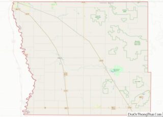
- Kittson
- Koochiching
- Lac qui Parle
- Lake
- Lake of the Woods
- Lake Superior
- Le Sueur
- Lincoln
- Lyon
- Mahnomen
- Marshall
- Martin
- McLeod
- Meeker
- Mille Lacs
- Morrison
- Mower
- Murray
- Nicollet
- Nobles
- Norman
- Olmsted
- Otter Tail
- Pennington
- Pine
- Pipestone
- Polk
- Pope
- Ramsey
- Red Lake
- Redwood
- Renville
- Rice
- Rock
- Roseau
- Saint Louis
- Scott
- Sherburne
- Sibley
- Stearns
- Steele
- Stevens
- Swift
- Todd
- Traverse
- Wabasha
- Wadena
- Waseca
- Washington
- Watonwan
- Wilkin
- Winona
- Wright
- Yellow Medicine
- Alabama
- Alaska
- Arizona
- Arkansas
- California
- Colorado
- Connecticut
- Delaware
- District of Columbia
- Florida
- Georgia
- Hawaii
- Idaho
- Illinois
- Indiana
- Iowa
- Kansas
- Kentucky
- Louisiana
- Maine
- Maryland
- Massachusetts
- Michigan
- Minnesota
- Mississippi
- Missouri
- Montana
- Nebraska
- Nevada
- New Hampshire
- New Jersey
- New Mexico
- New York
- North Carolina
- North Dakota
- Ohio
- Oklahoma
- Oregon
- Pennsylvania
- Rhode Island
- South Carolina
- South Dakota
- Tennessee
- Texas
- Utah
- Vermont
- Virginia
- Washington
- West Virginia
- Wisconsin
- Wyoming