Madison Lake is a small city in Blue Earth County, Minnesota, United States. The population was 1,247 at the 2020 census. It is part of the Mankato–North Mankato Metropolitan Statistical Area.
| Name: | Madison Lake city |
|---|---|
| LSAD Code: | 25 |
| LSAD Description: | city (suffix) |
| State: | Minnesota |
| County: | Blue Earth County |
| Elevation: | 1,047 ft (319 m) |
| Total Area: | 1.36 sq mi (3.53 km²) |
| Land Area: | 1.35 sq mi (3.50 km²) |
| Water Area: | 0.01 sq mi (0.03 km²) |
| Total Population: | 1,247 |
| Population Density: | 921.66/sq mi (355.93/km²) |
| ZIP code: | 56063 |
| Area code: | 507 |
| FIPS code: | 2739320 |
| GNISfeature ID: | 0647362 |
| Website: | ci.madison-lake.mn.us |
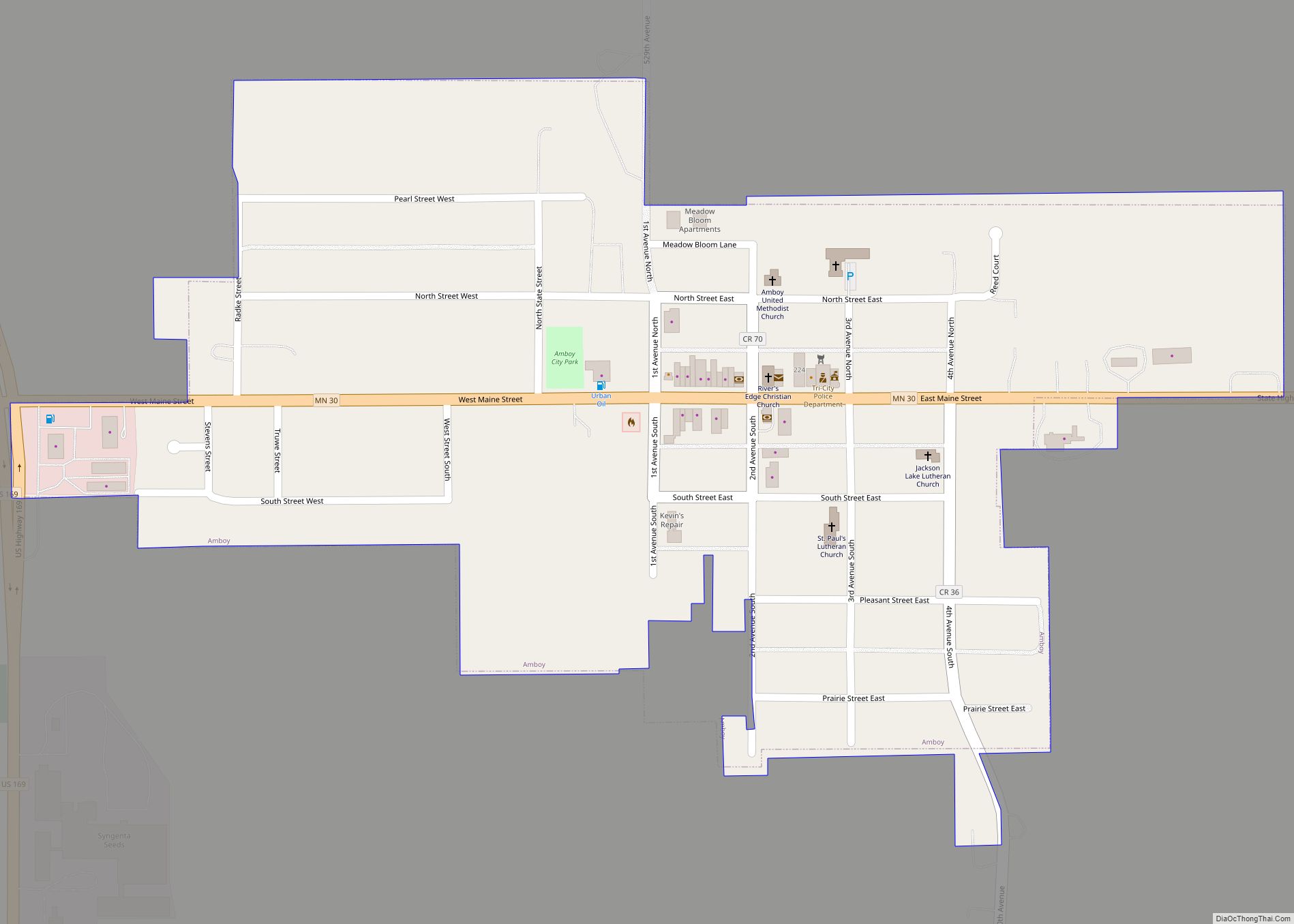
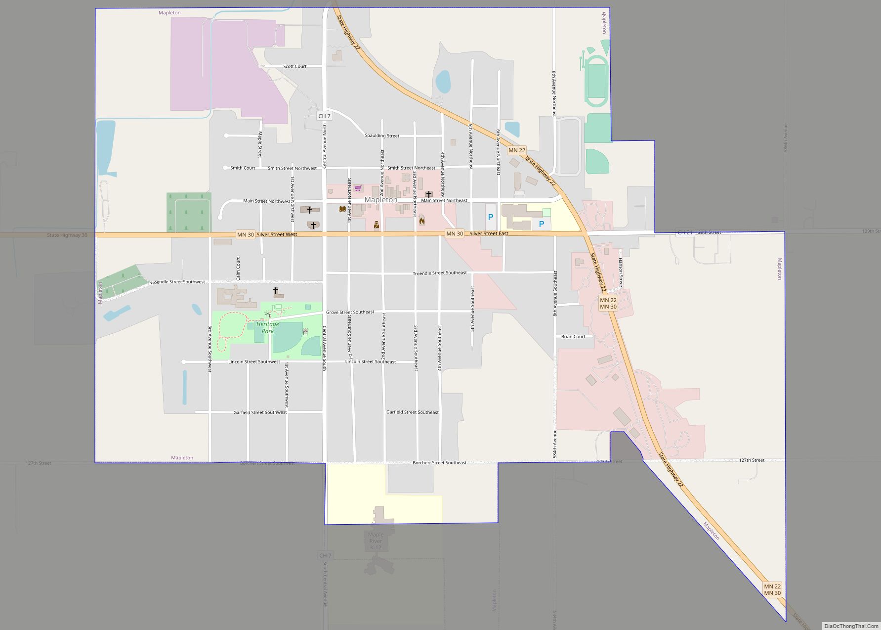
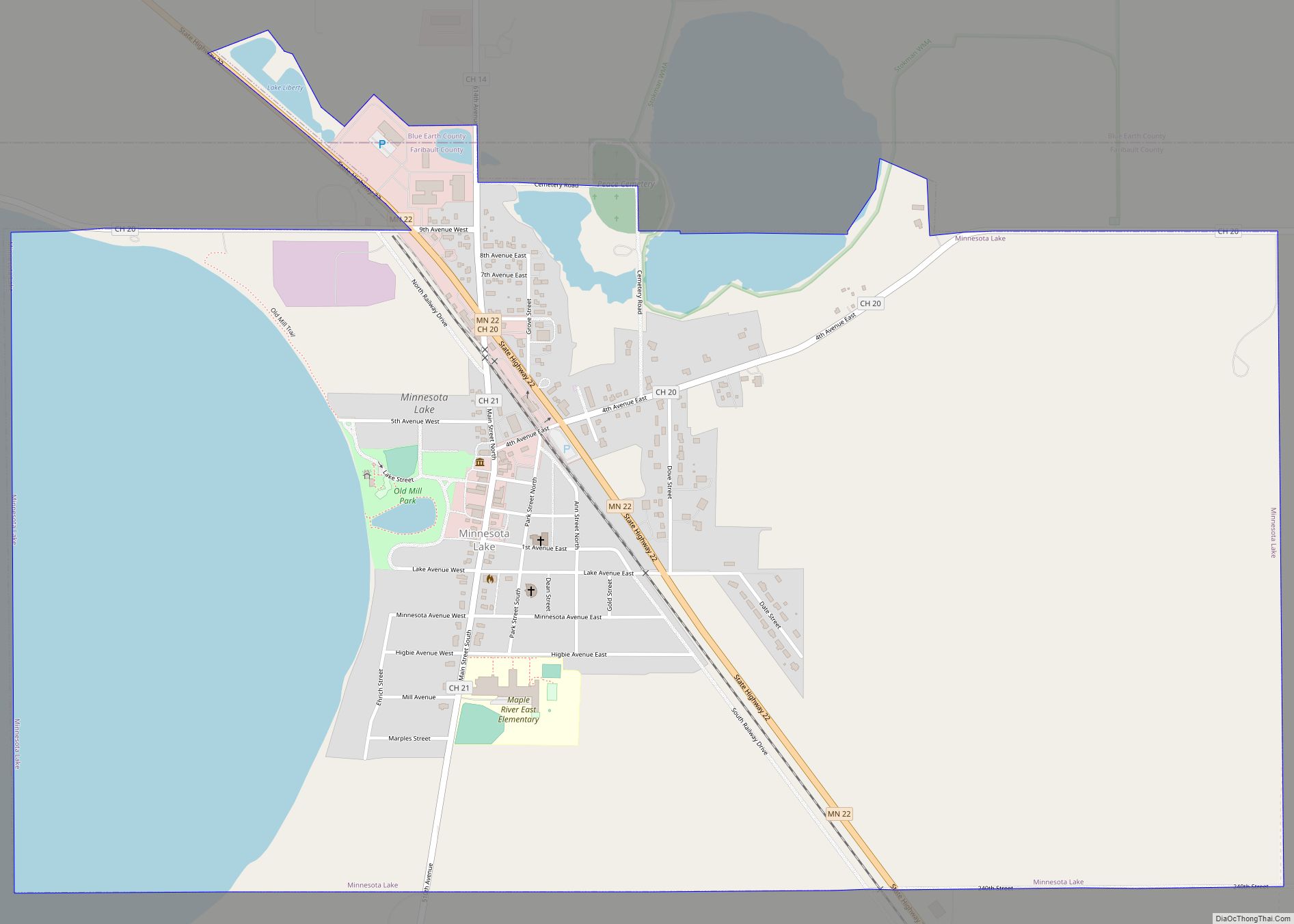
Online Interactive Map
Click on ![]() to view map in "full screen" mode.
to view map in "full screen" mode.
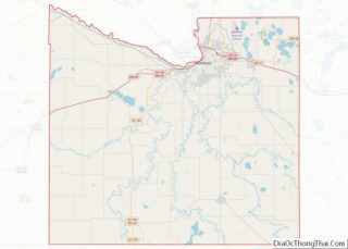
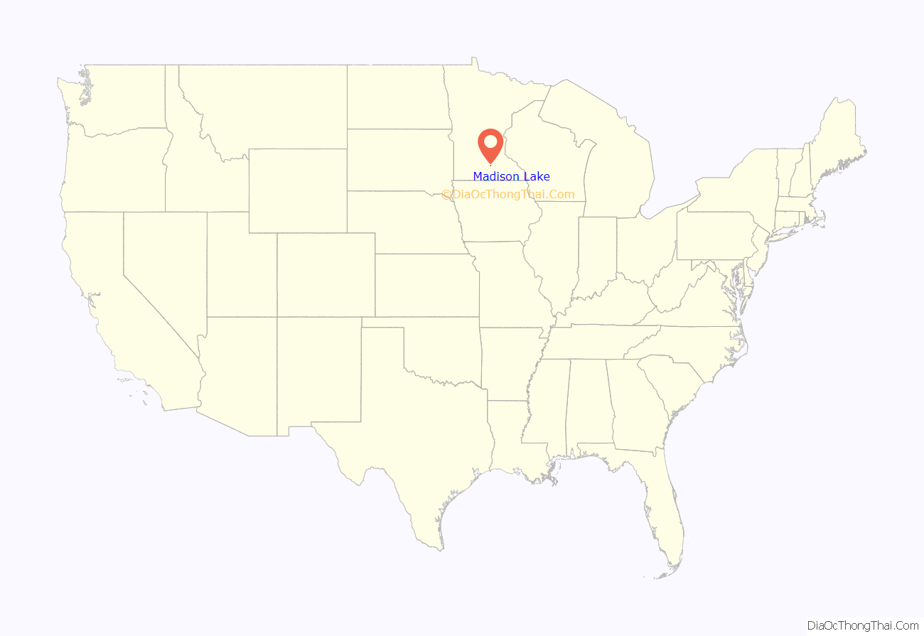
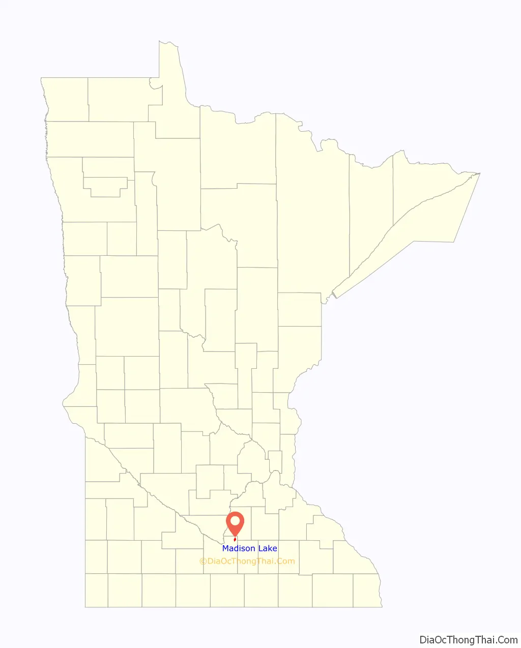
Madison Lake location map. Where is Madison Lake city?
History
The area that is now Madison Lake was originally called Barclay’s addition. In 1881, this land was deeded to L.S. Barclay for the town and was shortly thereafter named Madison Lake. A post office called Madison Lake has been in operation since 1885. The town took its name from nearby Madison Lake, which was named for President James Madison. The Village was incorporated in 1892.
The Wisconsin, Minnesota and Pacific Railroad built westward from Red Wing, Minnesota, reaching Madison Lake by 1884 at a distance 78.4 miles. Mankato, a further 20 miles westward, was reached by 1887. The railroad line became part of the Chicago Great Western Railroad. This is now the route of the Cannon Valley Trail.
On Friday, December 23, 1910, four blocks of downtown Madison Lake were devastated by fire. The loss was estimated at $100,000 at the time.
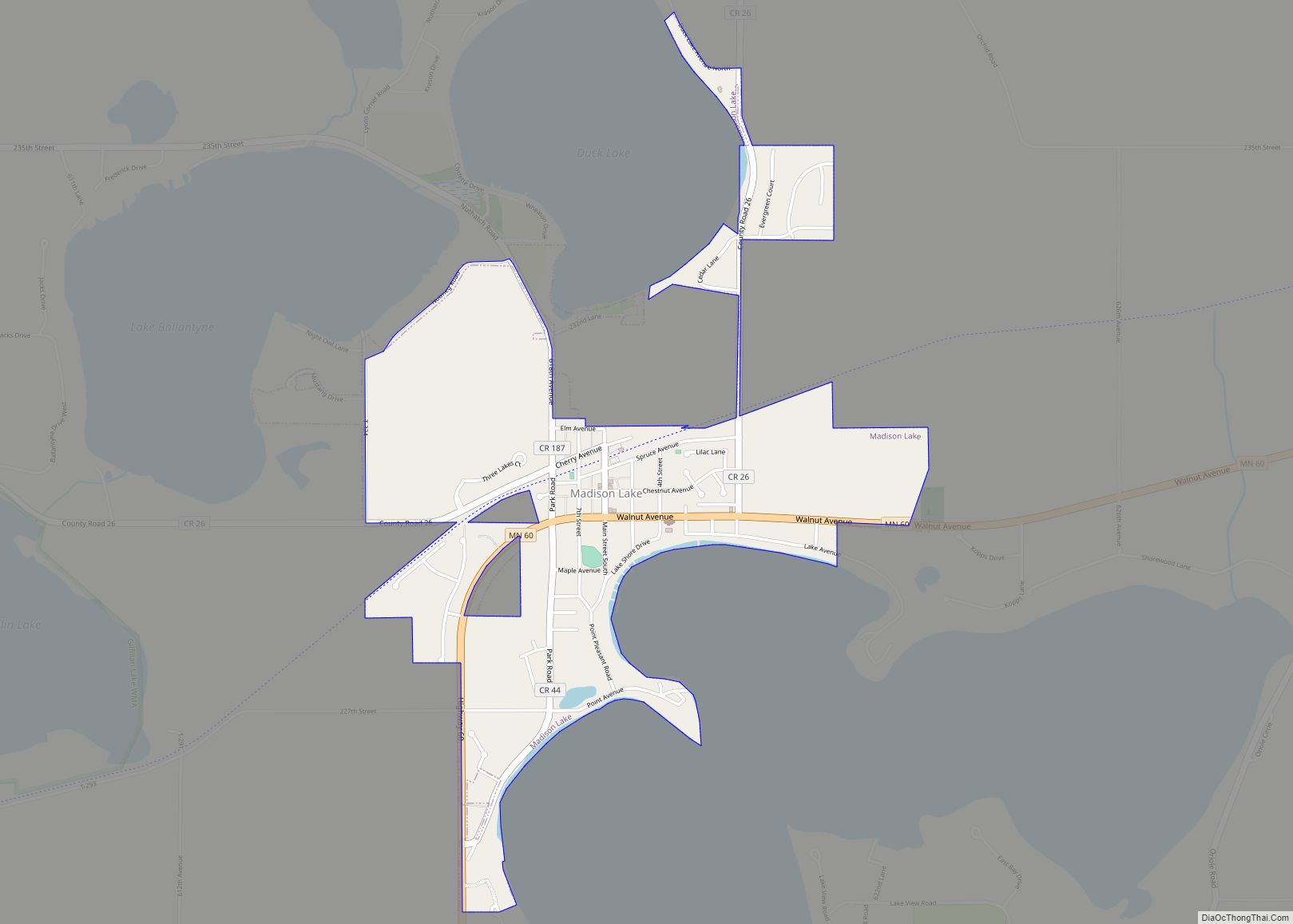
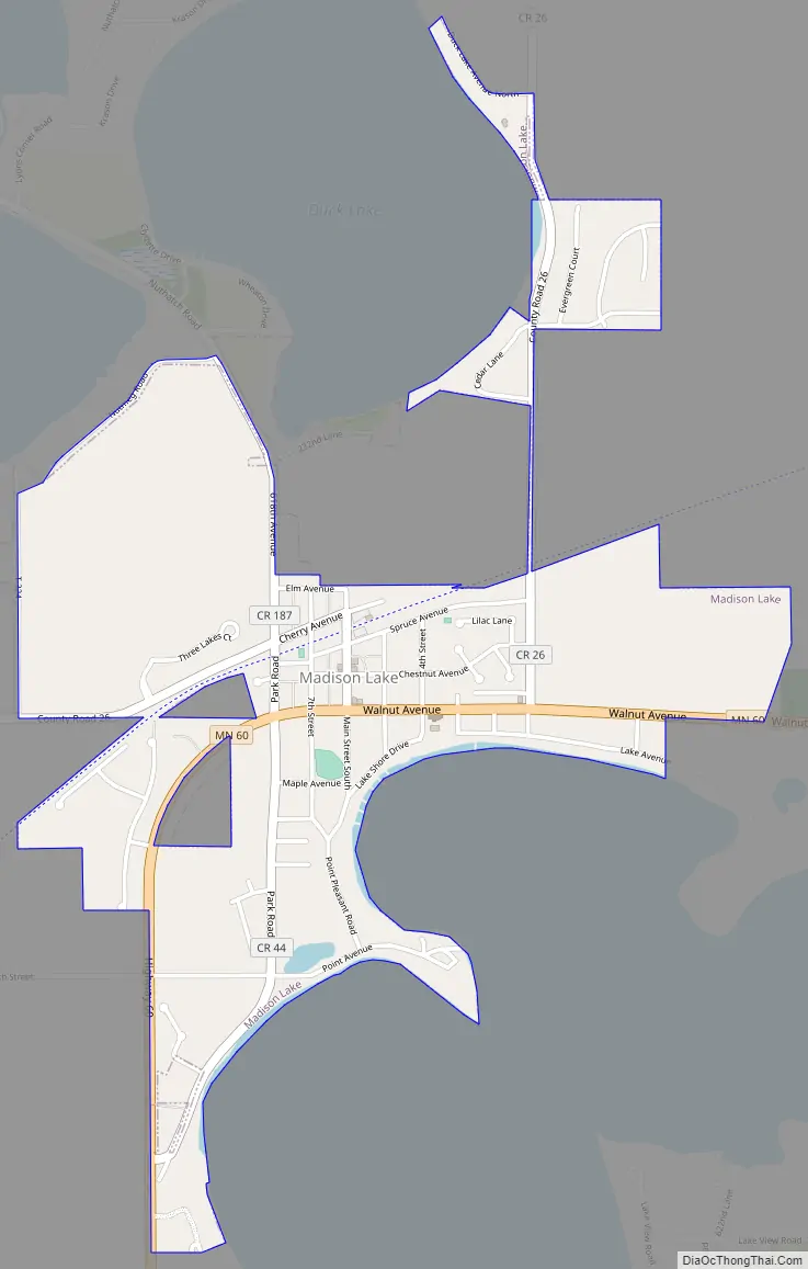
Madison Lake Road Map
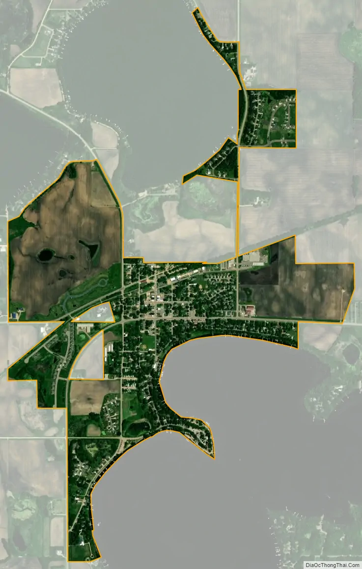
Madison Lake city Satellite Map
Geography
According to the United States Census Bureau, the city has a total area of 1.04 square miles (2.69 km), of which 1.03 square miles (2.67 km) is land and 0.01 square miles (0.03 km) is water.
Minnesota State Highway 60 serves as a main route in the community. U.S. Route 14 is nearby.
See also
Map of Minnesota State and its subdivision:- Aitkin
- Anoka
- Becker
- Beltrami
- Benton
- Big Stone
- Blue Earth
- Brown
- Carlton
- Carver
- Cass
- Chippewa
- Chisago
- Clay
- Clearwater
- Cook
- Cottonwood
- Crow Wing
- Dakota
- Dodge
- Douglas
- Faribault
- Fillmore
- Freeborn
- Goodhue
- Grant
- Hennepin
- Houston
- Hubbard
- Isanti
- Itasca
- Jackson
- Kanabec
- Kandiyohi
- Kittson
- Koochiching
- Lac qui Parle
- Lake
- Lake of the Woods
- Lake Superior
- Le Sueur
- Lincoln
- Lyon
- Mahnomen
- Marshall
- Martin
- McLeod
- Meeker
- Mille Lacs
- Morrison
- Mower
- Murray
- Nicollet
- Nobles
- Norman
- Olmsted
- Otter Tail
- Pennington
- Pine
- Pipestone
- Polk
- Pope
- Ramsey
- Red Lake
- Redwood
- Renville
- Rice
- Rock
- Roseau
- Saint Louis
- Scott
- Sherburne
- Sibley
- Stearns
- Steele
- Stevens
- Swift
- Todd
- Traverse
- Wabasha
- Wadena
- Waseca
- Washington
- Watonwan
- Wilkin
- Winona
- Wright
- Yellow Medicine
- Alabama
- Alaska
- Arizona
- Arkansas
- California
- Colorado
- Connecticut
- Delaware
- District of Columbia
- Florida
- Georgia
- Hawaii
- Idaho
- Illinois
- Indiana
- Iowa
- Kansas
- Kentucky
- Louisiana
- Maine
- Maryland
- Massachusetts
- Michigan
- Minnesota
- Mississippi
- Missouri
- Montana
- Nebraska
- Nevada
- New Hampshire
- New Jersey
- New Mexico
- New York
- North Carolina
- North Dakota
- Ohio
- Oklahoma
- Oregon
- Pennsylvania
- Rhode Island
- South Carolina
- South Dakota
- Tennessee
- Texas
- Utah
- Vermont
- Virginia
- Washington
- West Virginia
- Wisconsin
- Wyoming