Marine on St. Croix or Marine on Saint Croix (/məˈriːn ɒn ˈseɪnt ˈkrɔɪ/ mə-REEN on SAYNT KROY) is a city in Washington County, Minnesota, United States. The population was 689 at the 2010 census. It was founded in 1839 as Marine Mills. The city was the site of the first commercial sawmill on the St. Croix River. A substantial portion of the city is listed as a historic district on the National Register of Historic Places and by the state of Minnesota.
| Name: | Marine on St. Croix city |
|---|---|
| LSAD Code: | 25 |
| LSAD Description: | city (suffix) |
| State: | Minnesota |
| County: | Washington County |
| Elevation: | 810 ft (250 m) |
| Total Area: | 4.20 sq mi (10.88 km²) |
| Land Area: | 3.91 sq mi (10.12 km²) |
| Water Area: | 0.29 sq mi (0.76 km²) |
| Total Population: | 664 |
| Population Density: | 169.91/sq mi (65.60/km²) |
| ZIP code: | 55047 |
| Area code: | 651 |
| FIPS code: | 2740562 |
| GNISfeature ID: | 2395007 |
| Website: | marine.govoffice.com |
Online Interactive Map
Click on ![]() to view map in "full screen" mode.
to view map in "full screen" mode.
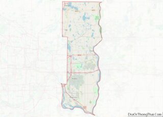
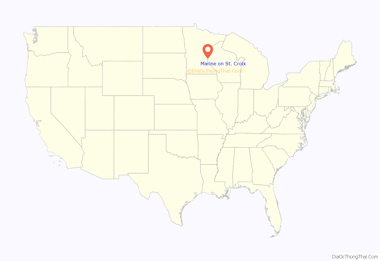
Marine on St. Croix location map. Where is Marine on St. Croix city?

History
Marine on St. Croix was founded in 1839 as Marine Mills. The city was the site of the first commercial sawmill on the St. Croix River. The sawmill was built by Illinois lumbermen David Hone and Lewis Judd, who saw the opportunity to cut the St. Croix River valley’s abundant white pine. They named the mill after their hometown of Marine, Illinois. The mill began operation in August 1839, making it the first commercial sawmill within Minnesota. It was first powered by water and then by steam, and it operated through 1895. Over 197,000,000 board feet (460,000 m) of lumber was milled through this sawmill. Although the frame buildings were demolished and the sawmill equipment was sold, footings of the buildings are still visible. The Marine Mill site is now a historic site operated by the Minnesota Historical Society.
The city retains several historic sites in addition to the Marine Mill, such as the General Store, built in 1870; the Stone House Museum, built in 1872; the Village Hall, built in 1888; the Lutheran Church; and the Fire Hall.
Marine on St. Croix Historic District
A 450-acre (180 ha) historic district in Marine on St. Croix was listed on the National Register of Historic Places in 1974 for having state-level significance in the themes of architecture, commerce, exploration/settlement, and industry. It was nominated as the birthplace of Minnesota’s lumber industry and for its representation of two separate but interdependent waves of immigration that created the town.
The district encompasses three distinct areas: the original business district bounded by Oak, 5th, and Mill Streets; the residential area of the Yankee business owners on the bluffs to the north, now bisected by Highway 95; and the residential areas of the Swedish working class, initially on the low areas to the north and south of the village center, and later on the bluff to the west. 60 buildings and three sites of ruins were identified as the contributing properties to the historic district in 1974.
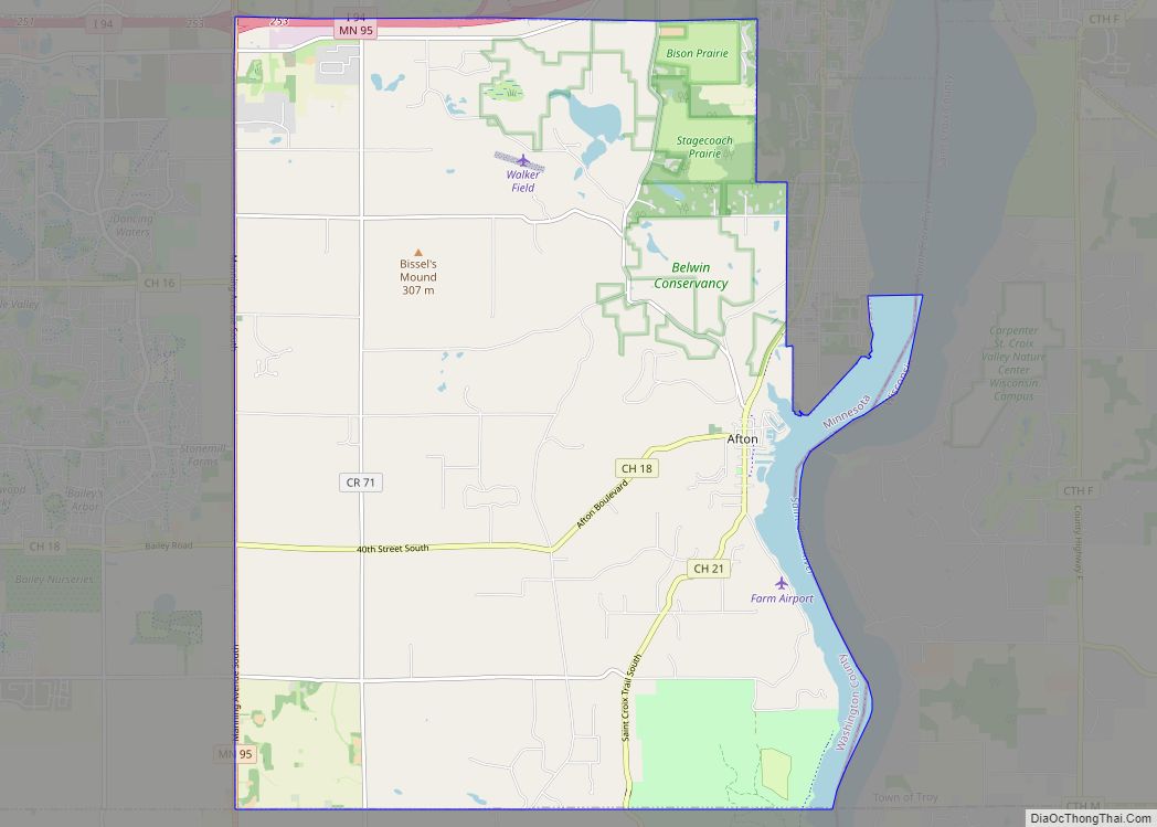
Marine on St. Croix Road Map
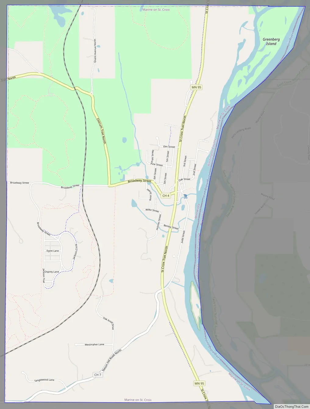
Marine on St. Croix city Satellite Map

Geography
According to the United States Census Bureau, the city has a total area of 4.17 square miles (10.80 km); 3.88 square miles (10.05 km) is land and 0.29 square miles (0.75 km) is water. Minnesota State Highway 95 serves as a main route in the community. The city is located at 45.19804 N, 92.77316 W.
See also
Map of Minnesota State and its subdivision:- Aitkin
- Anoka
- Becker
- Beltrami
- Benton
- Big Stone
- Blue Earth
- Brown
- Carlton
- Carver
- Cass
- Chippewa
- Chisago
- Clay
- Clearwater
- Cook
- Cottonwood
- Crow Wing
- Dakota
- Dodge
- Douglas
- Faribault
- Fillmore
- Freeborn
- Goodhue
- Grant
- Hennepin
- Houston
- Hubbard
- Isanti
- Itasca
- Jackson
- Kanabec
- Kandiyohi
- Kittson
- Koochiching
- Lac qui Parle
- Lake
- Lake of the Woods
- Lake Superior
- Le Sueur
- Lincoln
- Lyon
- Mahnomen
- Marshall
- Martin
- McLeod
- Meeker
- Mille Lacs
- Morrison
- Mower
- Murray
- Nicollet
- Nobles
- Norman
- Olmsted
- Otter Tail
- Pennington
- Pine
- Pipestone
- Polk
- Pope
- Ramsey
- Red Lake
- Redwood
- Renville
- Rice
- Rock
- Roseau
- Saint Louis
- Scott
- Sherburne
- Sibley
- Stearns
- Steele
- Stevens
- Swift
- Todd
- Traverse
- Wabasha
- Wadena
- Waseca
- Washington
- Watonwan
- Wilkin
- Winona
- Wright
- Yellow Medicine
- Alabama
- Alaska
- Arizona
- Arkansas
- California
- Colorado
- Connecticut
- Delaware
- District of Columbia
- Florida
- Georgia
- Hawaii
- Idaho
- Illinois
- Indiana
- Iowa
- Kansas
- Kentucky
- Louisiana
- Maine
- Maryland
- Massachusetts
- Michigan
- Minnesota
- Mississippi
- Missouri
- Montana
- Nebraska
- Nevada
- New Hampshire
- New Jersey
- New Mexico
- New York
- North Carolina
- North Dakota
- Ohio
- Oklahoma
- Oregon
- Pennsylvania
- Rhode Island
- South Carolina
- South Dakota
- Tennessee
- Texas
- Utah
- Vermont
- Virginia
- Washington
- West Virginia
- Wisconsin
- Wyoming