Meadowlands is a city in Saint Louis County, Minnesota, United States. The population was 134 at the 2010 census.
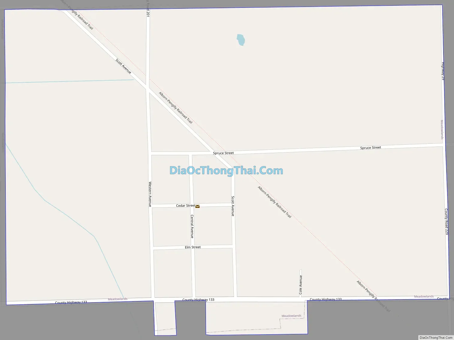
Saint Louis County Highway 133 (CR 133), County 5 (CR 5), and County 29 (CR 29) are three of the main routes in Meadowlands.
| Name: | Meadowlands city |
|---|---|
| LSAD Code: | 25 |
| LSAD Description: | city (suffix) |
| State: | Minnesota |
| County: | St. Louis County |
| Elevation: | 1,276 ft (389 m) |
| Total Area: | 0.39 sq mi (1.00 km²) |
| Land Area: | 0.39 sq mi (1.00 km²) |
| Water Area: | 0.00 sq mi (0.00 km²) |
| Total Population: | 134 |
| Population Density: | 347.15/sq mi (134.07/km²) |
| ZIP code: | 55765 |
| Area code: | 218 |
| FIPS code: | 2741372 |
| GNISfeature ID: | 0661897 |
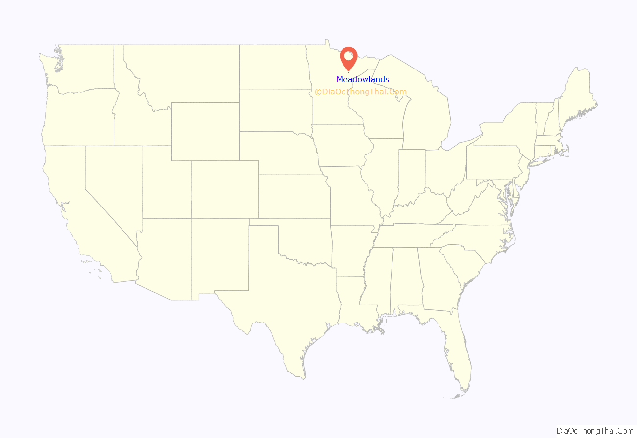
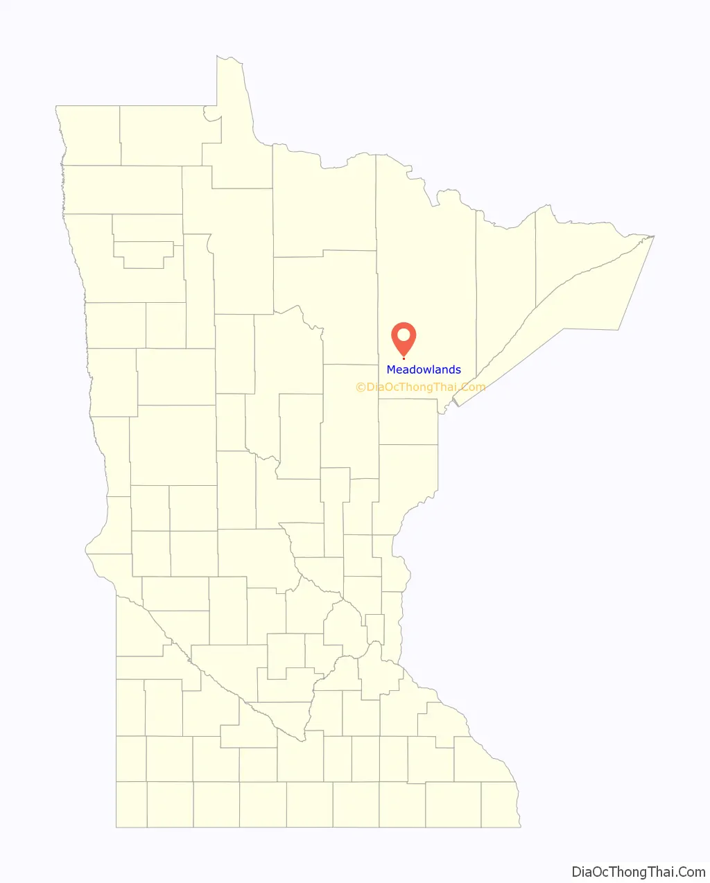
Online Interactive Map
Click on ![]() to view map in "full screen" mode.
to view map in "full screen" mode.
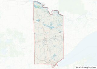
Meadowlands location map. Where is Meadowlands city?
History
Meadowlands, as its name would suggest, is one of the few areas of arable land in Saint Louis County. While Meadowlands prospered and grew due to the support it provided to the region’s farms, the steady decline in those same farms (and the large families they supported) during the mid-late 1980s and early 1990s heralded the beginning of the town’s gradual decline.
During its heyday, Meadowlands was home to a number of businesses including a Ford dealership (which also carried New Holland farm machinery), a bank, a farmer’s cooperative store, a grocery store, a commercial laundry, a cheese factory, various restaurants, a movie theater and the Toivola–Meadowlands School, a K–12 institution. However, the loss of the large farm families gradually reduced the student population until Independent School District 710 chose to close the school. An attempt was made to covert T–M into a “Charter School”, but it ultimately proved unsuccessful. Before closing, the school sent its 9-man football team to the Minnesota State Finals twice in the 1980s.
Currently it possesses only a single bar/grill establishment, and four places of worship.
The retail and service related facilities have seen a slight increase in business due to the recent expansion of tourism related to bird-watching. The rivers, lakes, fields and arboreal bog areas around Meadowlands offer visitors the opportunity to view species ranging from small song birds, such as the waxwing, to Bald Eagles.
Also winter brings with it increased snowmobile traffic, as a former Duluth, Missabe and Iron Range Railroad line runs along the eastern edge of the town. Now converted to an ATV–snowmobile trail, this former rail line runs from Alborn in the south, north to Pengilly on the Iron Range.
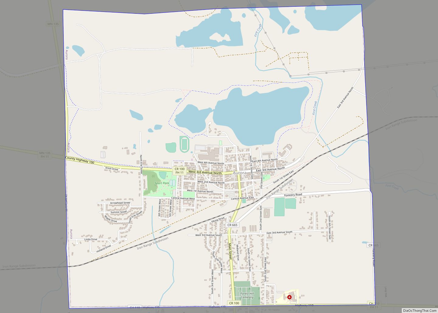
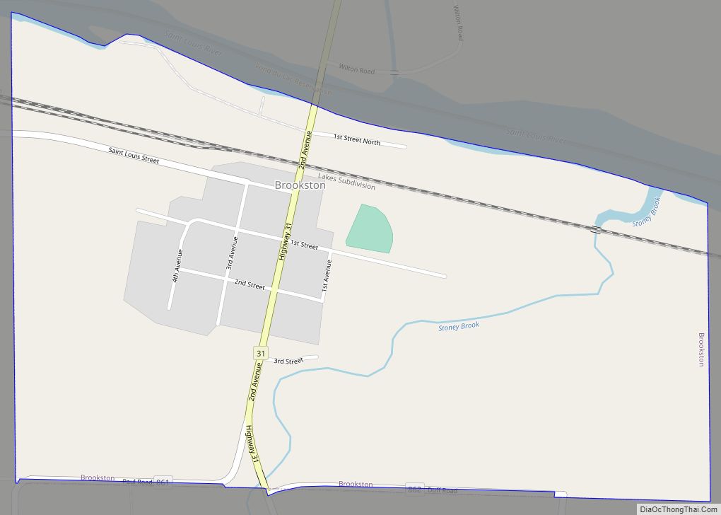
Meadowlands Road Map
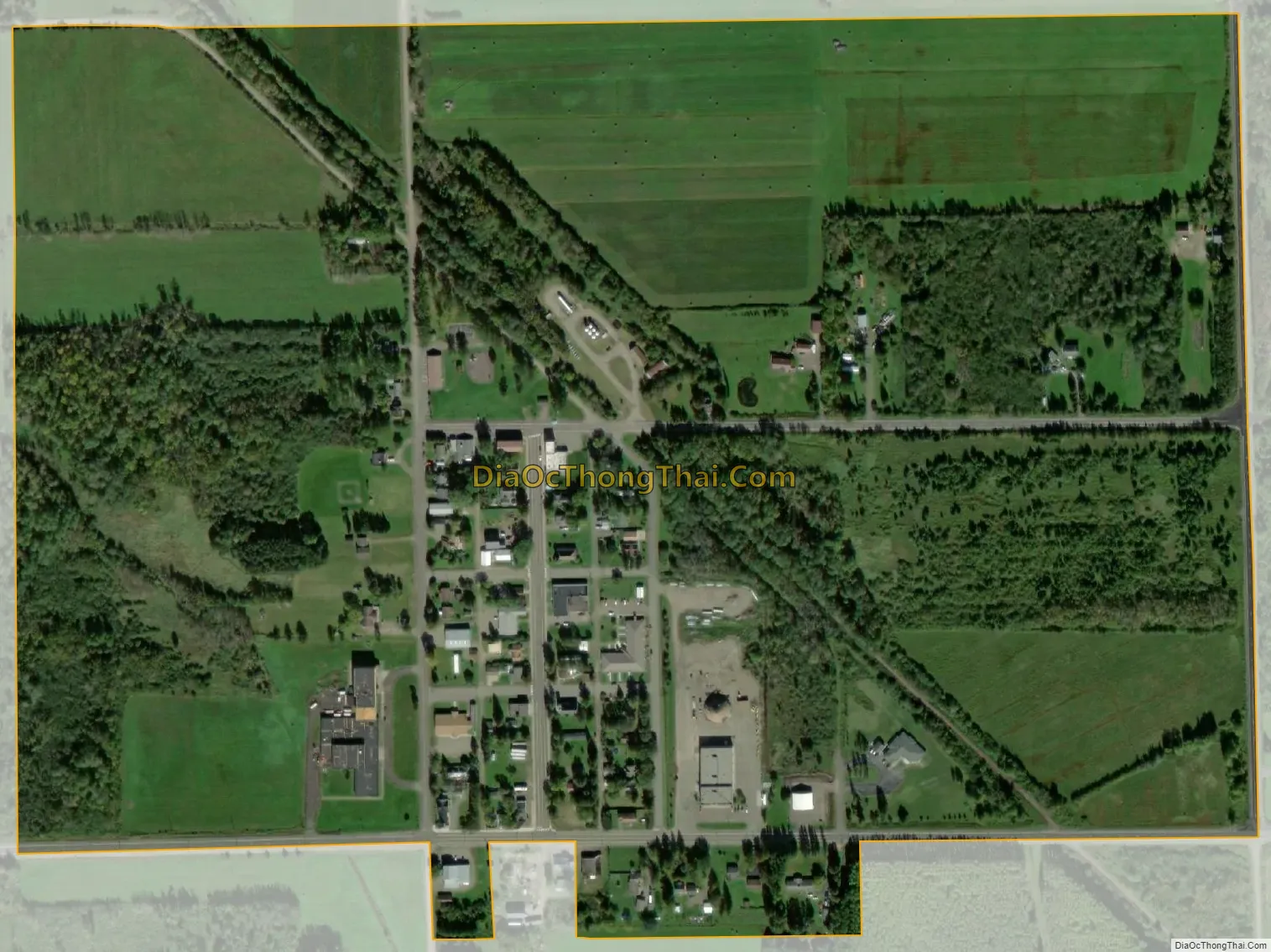
Meadowlands city Satellite Map
Geography
According to the United States Census Bureau, the city has a total area of 0.39 square miles (1.01 km), all land.
See also
Map of Minnesota State and its subdivision:- Aitkin
- Anoka
- Becker
- Beltrami
- Benton
- Big Stone
- Blue Earth
- Brown
- Carlton
- Carver
- Cass
- Chippewa
- Chisago
- Clay
- Clearwater
- Cook
- Cottonwood
- Crow Wing
- Dakota
- Dodge
- Douglas
- Faribault
- Fillmore
- Freeborn
- Goodhue
- Grant
- Hennepin
- Houston
- Hubbard
- Isanti
- Itasca
- Jackson
- Kanabec
- Kandiyohi
- Kittson
- Koochiching
- Lac qui Parle
- Lake
- Lake of the Woods
- Lake Superior
- Le Sueur
- Lincoln
- Lyon
- Mahnomen
- Marshall
- Martin
- McLeod
- Meeker
- Mille Lacs
- Morrison
- Mower
- Murray
- Nicollet
- Nobles
- Norman
- Olmsted
- Otter Tail
- Pennington
- Pine
- Pipestone
- Polk
- Pope
- Ramsey
- Red Lake
- Redwood
- Renville
- Rice
- Rock
- Roseau
- Saint Louis
- Scott
- Sherburne
- Sibley
- Stearns
- Steele
- Stevens
- Swift
- Todd
- Traverse
- Wabasha
- Wadena
- Waseca
- Washington
- Watonwan
- Wilkin
- Winona
- Wright
- Yellow Medicine
- Alabama
- Alaska
- Arizona
- Arkansas
- California
- Colorado
- Connecticut
- Delaware
- District of Columbia
- Florida
- Georgia
- Hawaii
- Idaho
- Illinois
- Indiana
- Iowa
- Kansas
- Kentucky
- Louisiana
- Maine
- Maryland
- Massachusetts
- Michigan
- Minnesota
- Mississippi
- Missouri
- Montana
- Nebraska
- Nevada
- New Hampshire
- New Jersey
- New Mexico
- New York
- North Carolina
- North Dakota
- Ohio
- Oklahoma
- Oregon
- Pennsylvania
- Rhode Island
- South Carolina
- South Dakota
- Tennessee
- Texas
- Utah
- Vermont
- Virginia
- Washington
- West Virginia
- Wisconsin
- Wyoming