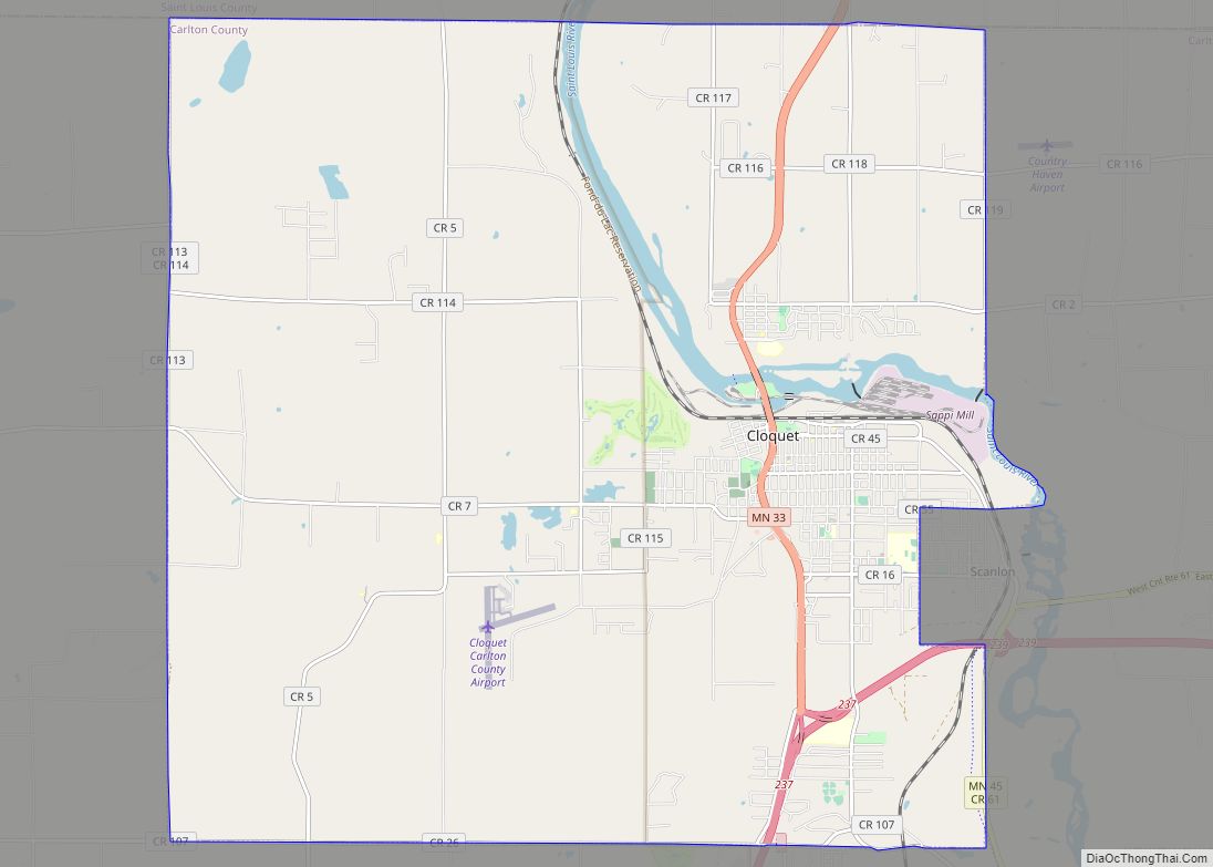
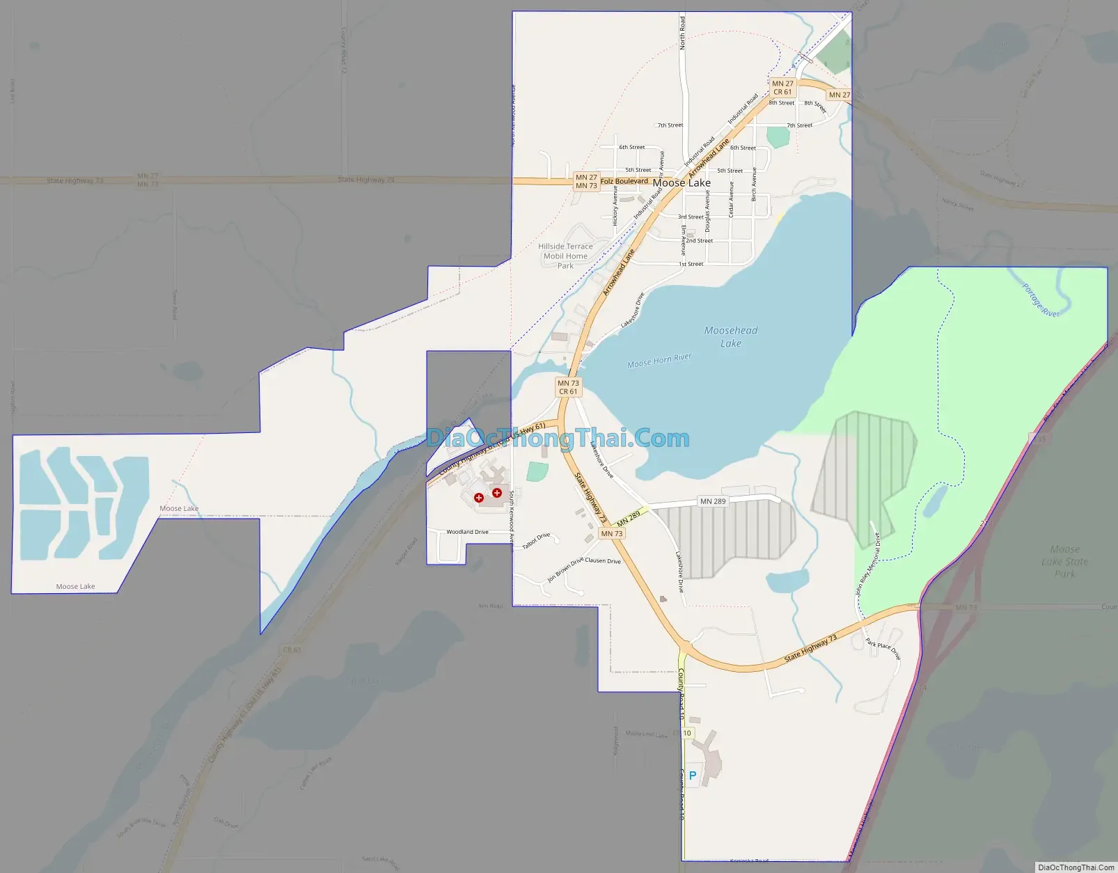
Moose Lake is a city in Carlton County, Minnesota, United States. The population was 2,789 at the 2020 census.
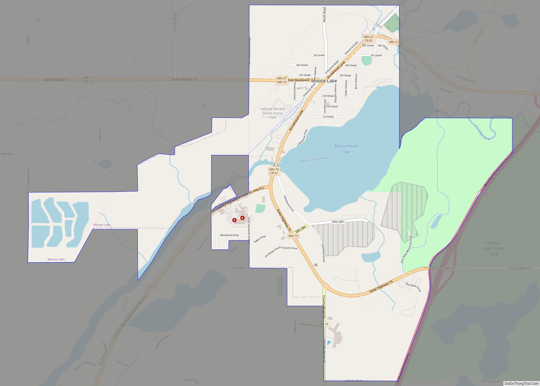
Interstate 35, State Highways 27 and 73, County 10, and County 61 are the main routes in Moose Lake.
Moose Lake State Park is nearby.
| Name: | Moose Lake city |
|---|---|
| LSAD Code: | 25 |
| LSAD Description: | city (suffix) |
| State: | Minnesota |
| County: | Carlton County |
| Elevation: | 1,060 ft (323 m) |
| Total Area: | 3.68 sq mi (9.54 km²) |
| Land Area: | 3.28 sq mi (8.49 km²) |
| Water Area: | 0.41 sq mi (1.05 km²) |
| Total Population: | 2,789 |
| Population Density: | 850.30/sq mi (328.34/km²) |
| ZIP code: | 55767 |
| Area code: | 218 |
| FIPS code: | 2743954 |
| GNISfeature ID: | 0648082 |
| Website: | cityofmooselake.net |
Online Interactive Map
Click on ![]() to view map in "full screen" mode.
to view map in "full screen" mode.
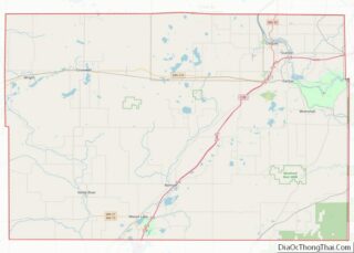
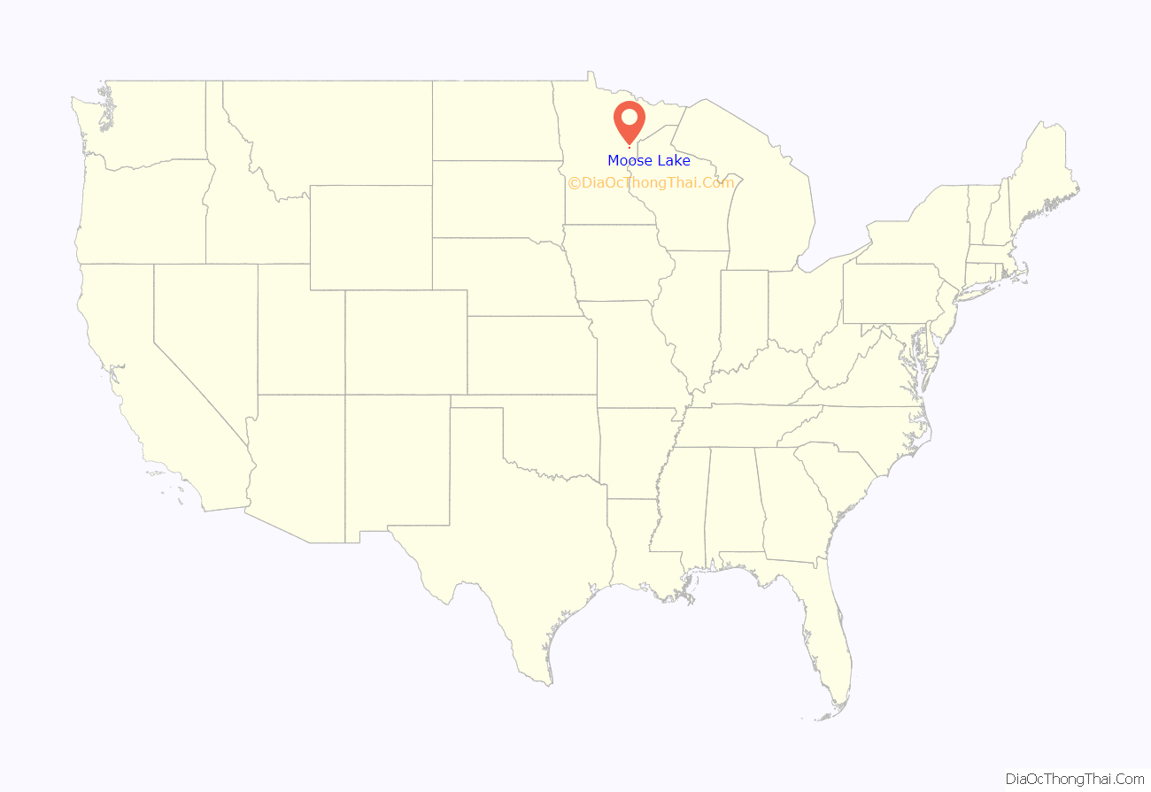
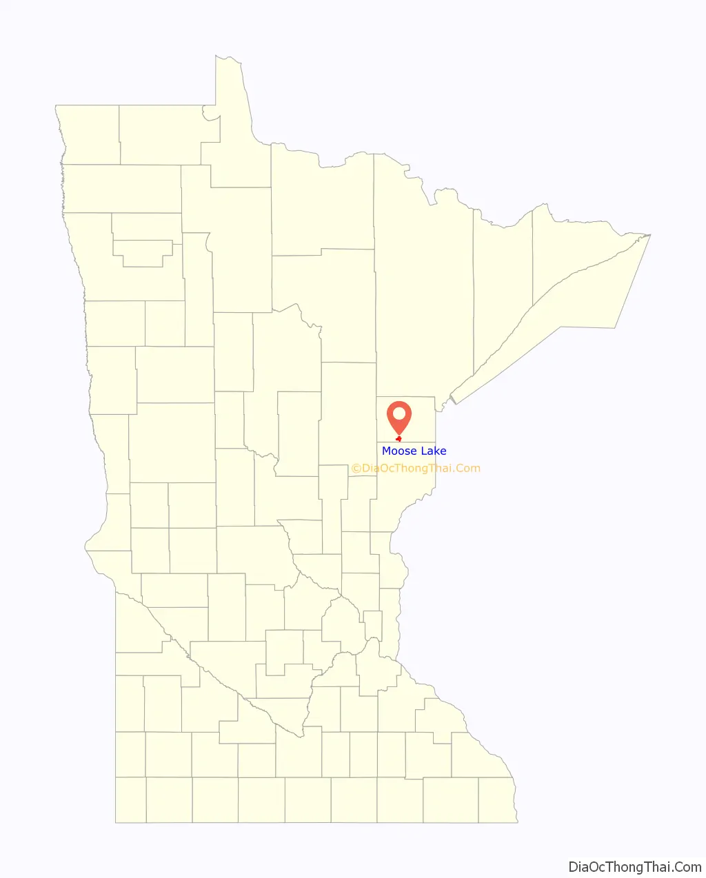
Moose Lake location map. Where is Moose Lake city?
History
Moose Lake was one of the communities affected by the massive 1918 Cloquet Fire. The Minneapolis, St. Paul and Sault Ste. Marie Depot is a museum that tells the story of that fire. The Minnesota Home Guard assisted the area after the fire.
Moose Lake Road Map
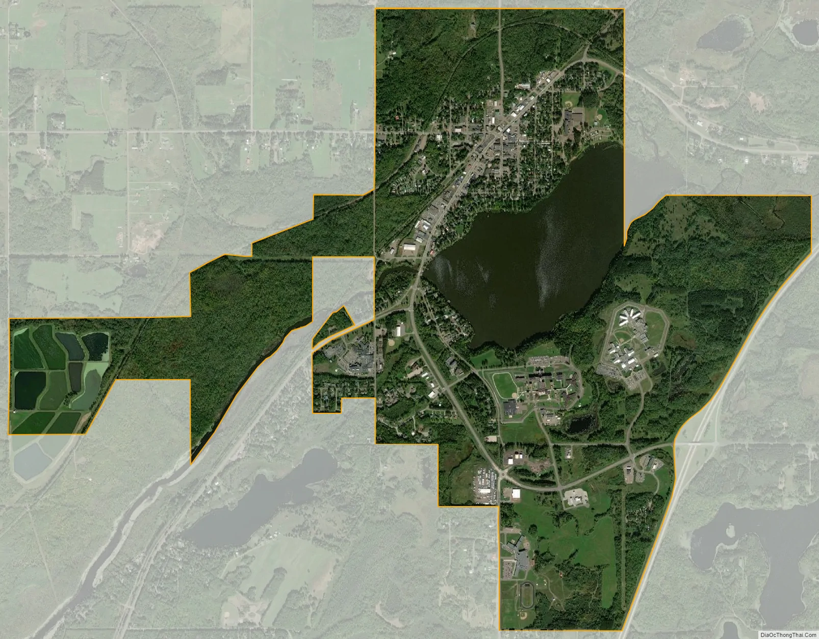
Moose Lake city Satellite Map
Geography
According to the United States Census Bureau, the city has an area of 3.66 square miles (9.48 km), of which 3.27 square miles (8.47 km) is land and 0.39 square miles (1.01 km) is water.
The boundary between Carlton and Pine counties is nearby.
Moose Lake is 25 miles southwest of Cloquet, 43 miles southwest of Duluth, and 112 miles north of Minneapolis–Saint Paul.
See also
Map of Minnesota State and its subdivision:- Aitkin
- Anoka
- Becker
- Beltrami
- Benton
- Big Stone
- Blue Earth
- Brown
- Carlton
- Carver
- Cass
- Chippewa
- Chisago
- Clay
- Clearwater
- Cook
- Cottonwood
- Crow Wing
- Dakota
- Dodge
- Douglas
- Faribault
- Fillmore
- Freeborn
- Goodhue
- Grant
- Hennepin
- Houston
- Hubbard
- Isanti
- Itasca
- Jackson
- Kanabec
- Kandiyohi
- Kittson
- Koochiching
- Lac qui Parle
- Lake
- Lake of the Woods
- Lake Superior
- Le Sueur
- Lincoln
- Lyon
- Mahnomen
- Marshall
- Martin
- McLeod
- Meeker
- Mille Lacs
- Morrison
- Mower
- Murray
- Nicollet
- Nobles
- Norman
- Olmsted
- Otter Tail
- Pennington
- Pine
- Pipestone
- Polk
- Pope
- Ramsey
- Red Lake
- Redwood
- Renville
- Rice
- Rock
- Roseau
- Saint Louis
- Scott
- Sherburne
- Sibley
- Stearns
- Steele
- Stevens
- Swift
- Todd
- Traverse
- Wabasha
- Wadena
- Waseca
- Washington
- Watonwan
- Wilkin
- Winona
- Wright
- Yellow Medicine
- Alabama
- Alaska
- Arizona
- Arkansas
- California
- Colorado
- Connecticut
- Delaware
- District of Columbia
- Florida
- Georgia
- Hawaii
- Idaho
- Illinois
- Indiana
- Iowa
- Kansas
- Kentucky
- Louisiana
- Maine
- Maryland
- Massachusetts
- Michigan
- Minnesota
- Mississippi
- Missouri
- Montana
- Nebraska
- Nevada
- New Hampshire
- New Jersey
- New Mexico
- New York
- North Carolina
- North Dakota
- Ohio
- Oklahoma
- Oregon
- Pennsylvania
- Rhode Island
- South Carolina
- South Dakota
- Tennessee
- Texas
- Utah
- Vermont
- Virginia
- Washington
- West Virginia
- Wisconsin
- Wyoming