Murdock is a rural town in Swift County, Minnesota, United States. The population was 306 at the 2020 census. The city is part of the Kerhoven-Murdock-Sunburg (KMS) school district. Murdock has Kerkhoven-Murdock-Sunburg Elementary School which is for grades PreK-5.
| Name: | Murdock city |
|---|---|
| LSAD Code: | 25 |
| LSAD Description: | city (suffix) |
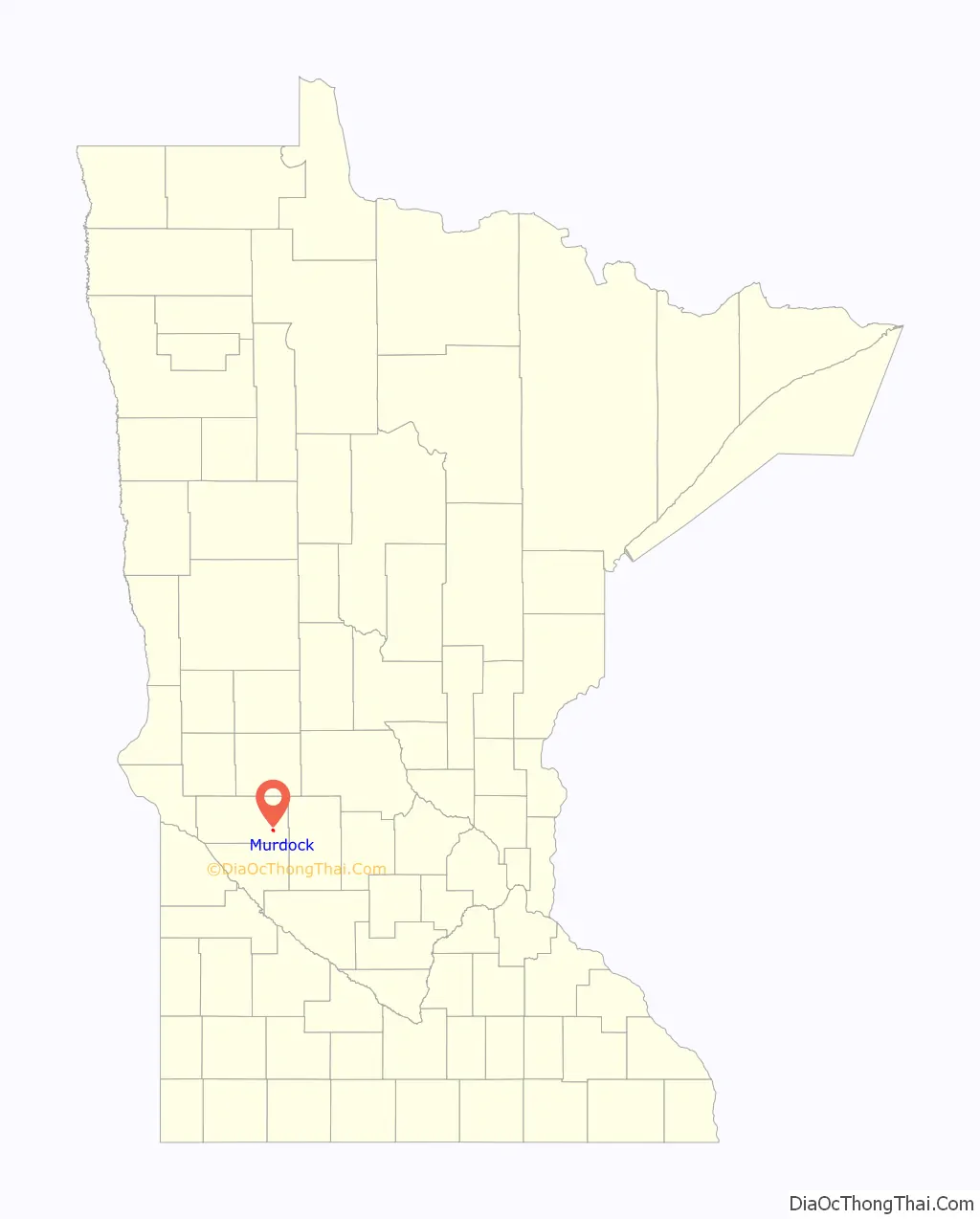
| State: | Minnesota |
| County: | Swift County |
| Elevation: | 1,089 ft (332 m) |
| Total Area: | 0.62 sq mi (1.61 km²) |
| Land Area: | 0.62 sq mi (1.61 km²) |
| Water Area: | 0.00 sq mi (0.00 km²) |
| Total Population: | 306 |
| Population Density: | 491.96/sq mi (189.90/km²) |
| ZIP code: | 56271 |
| Area code: | 320 |
| FIPS code: | 2744818 |
| GNISfeature ID: | 0648389 |
Online Interactive Map
Click on ![]() to view map in "full screen" mode.
to view map in "full screen" mode.
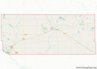
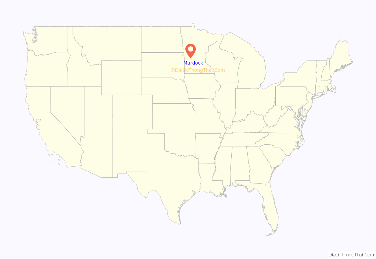
Murdock location map. Where is Murdock city?
History
A post office has been in operation at Murdock since 1878. Murdock was platted in 1881 by S. S. Murdock, and named for him. Murdock was incorporated in 1881.
In June 2020, a neo-pagan religion known as the Asatru Folk Assembly (AFA) purchased the Calvary Lutheran Church, a former Lutheran church in Murdock for use as a gathering place for AFA members of the Northern Great Plains. On December 9, 2020, the Murdock City Council voted to allow the AFA conditional approval to use the former church. This caused uproar as the AFA has a policy of only allowing whites to become members of the religion, leading to accusations of racism against the AFA and against Murdock. More than 120,000 Minnesotans have signed a petition to stop the AFA’s use of the former church.
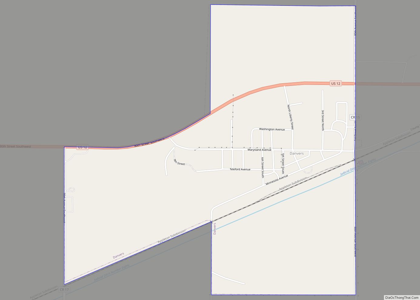
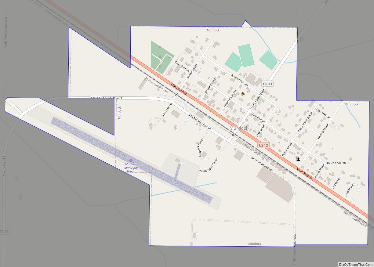
Murdock Road Map
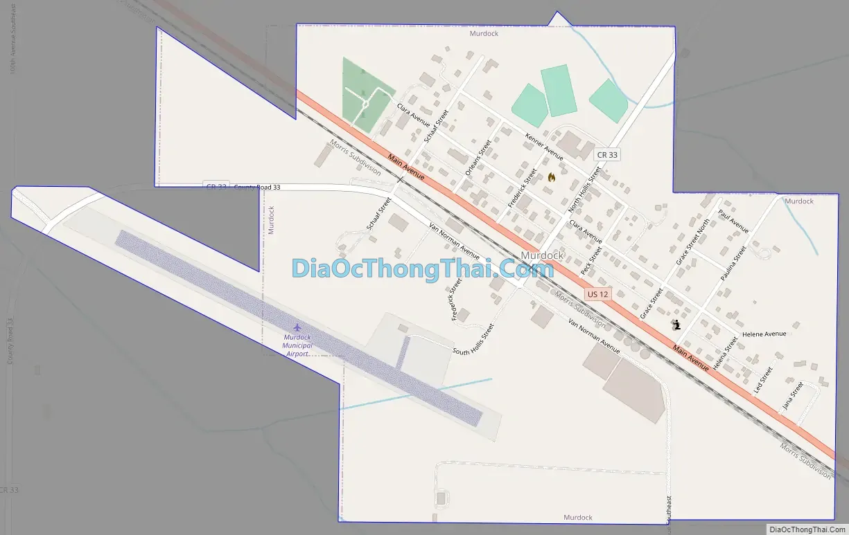
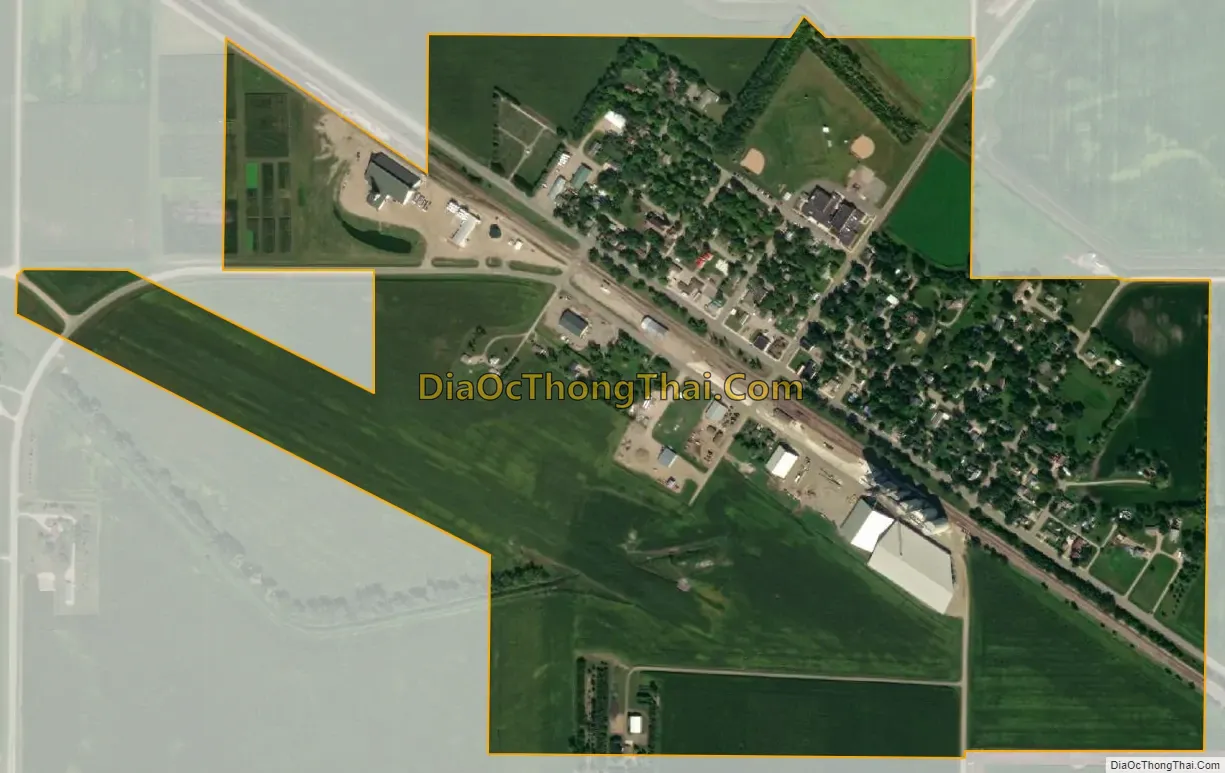
Murdock city Satellite Map
Geography
According to the United States Census Bureau, the city has a total area of 0.56 square miles (1.45 km), all land.
U.S. Route 12 serves as a main route in the community.
See also
Map of Minnesota State and its subdivision:- Aitkin
- Anoka
- Becker
- Beltrami
- Benton
- Big Stone
- Blue Earth
- Brown
- Carlton
- Carver
- Cass
- Chippewa
- Chisago
- Clay
- Clearwater
- Cook
- Cottonwood
- Crow Wing
- Dakota
- Dodge
- Douglas
- Faribault
- Fillmore
- Freeborn
- Goodhue
- Grant
- Hennepin
- Houston
- Hubbard
- Isanti
- Itasca
- Jackson
- Kanabec
- Kandiyohi
- Kittson
- Koochiching
- Lac qui Parle
- Lake
- Lake of the Woods
- Lake Superior
- Le Sueur
- Lincoln
- Lyon
- Mahnomen
- Marshall
- Martin
- McLeod
- Meeker
- Mille Lacs
- Morrison
- Mower
- Murray
- Nicollet
- Nobles
- Norman
- Olmsted
- Otter Tail
- Pennington
- Pine
- Pipestone
- Polk
- Pope
- Ramsey
- Red Lake
- Redwood
- Renville
- Rice
- Rock
- Roseau
- Saint Louis
- Scott
- Sherburne
- Sibley
- Stearns
- Steele
- Stevens
- Swift
- Todd
- Traverse
- Wabasha
- Wadena
- Waseca
- Washington
- Watonwan
- Wilkin
- Winona
- Wright
- Yellow Medicine
- Alabama
- Alaska
- Arizona
- Arkansas
- California
- Colorado
- Connecticut
- Delaware
- District of Columbia
- Florida
- Georgia
- Hawaii
- Idaho
- Illinois
- Indiana
- Iowa
- Kansas
- Kentucky
- Louisiana
- Maine
- Maryland
- Massachusetts
- Michigan
- Minnesota
- Mississippi
- Missouri
- Montana
- Nebraska
- Nevada
- New Hampshire
- New Jersey
- New Mexico
- New York
- North Carolina
- North Dakota
- Ohio
- Oklahoma
- Oregon
- Pennsylvania
- Rhode Island
- South Carolina
- South Dakota
- Tennessee
- Texas
- Utah
- Vermont
- Virginia
- Washington
- West Virginia
- Wisconsin
- Wyoming