Nimrod is a city in Wadena County, Minnesota, United States. The population was 69 at the 2010 census, making it one of the smallest incorporated towns in Minnesota, though it is included on most major maps. Nimrod was incorporated as a city in 1946. The town is named after the Biblical Nimrod.
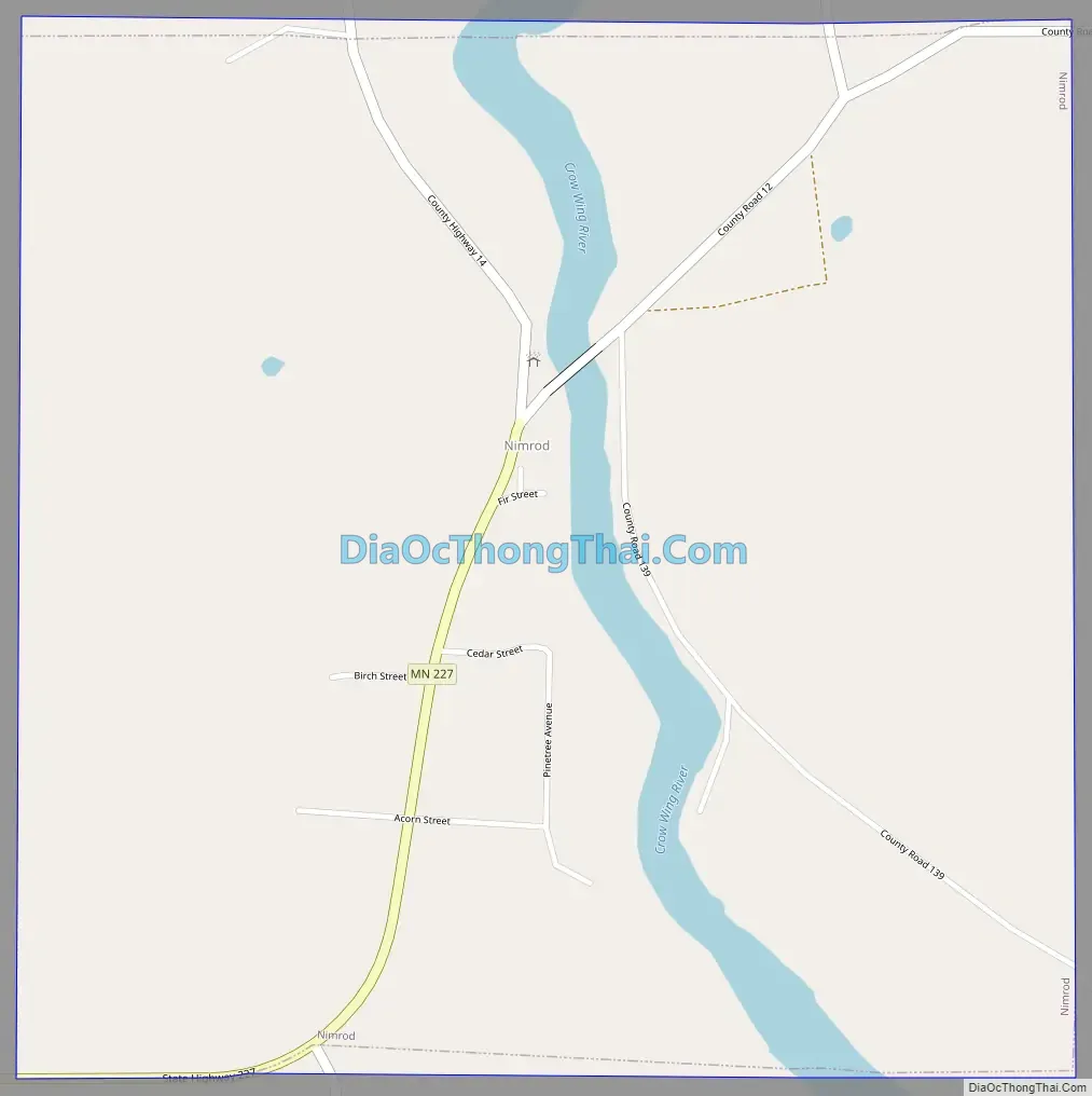
Minnesota State Highway 227 has its eastern terminus in Nimrod, having travelled 11 miles from Sebeka, the western terminus.
| Name: | Nimrod city |
|---|---|
| LSAD Code: | 25 |
| LSAD Description: | city (suffix) |
| State: | Minnesota |
| County: | Wadena County |
| Elevation: | 1,325 ft (404 m) |
| Total Area: | 1.01 sq mi (2.61 km²) |
| Land Area: | 0.95 sq mi (2.47 km²) |
| Water Area: | 0.05 sq mi (0.14 km²) |
| Total Population: | 84 |
| Population Density: | 88.05/sq mi (34.01/km²) |
| Area code: | 218 |
| FIPS code: | 2746294 |
| GNISfeature ID: | 0648556 |
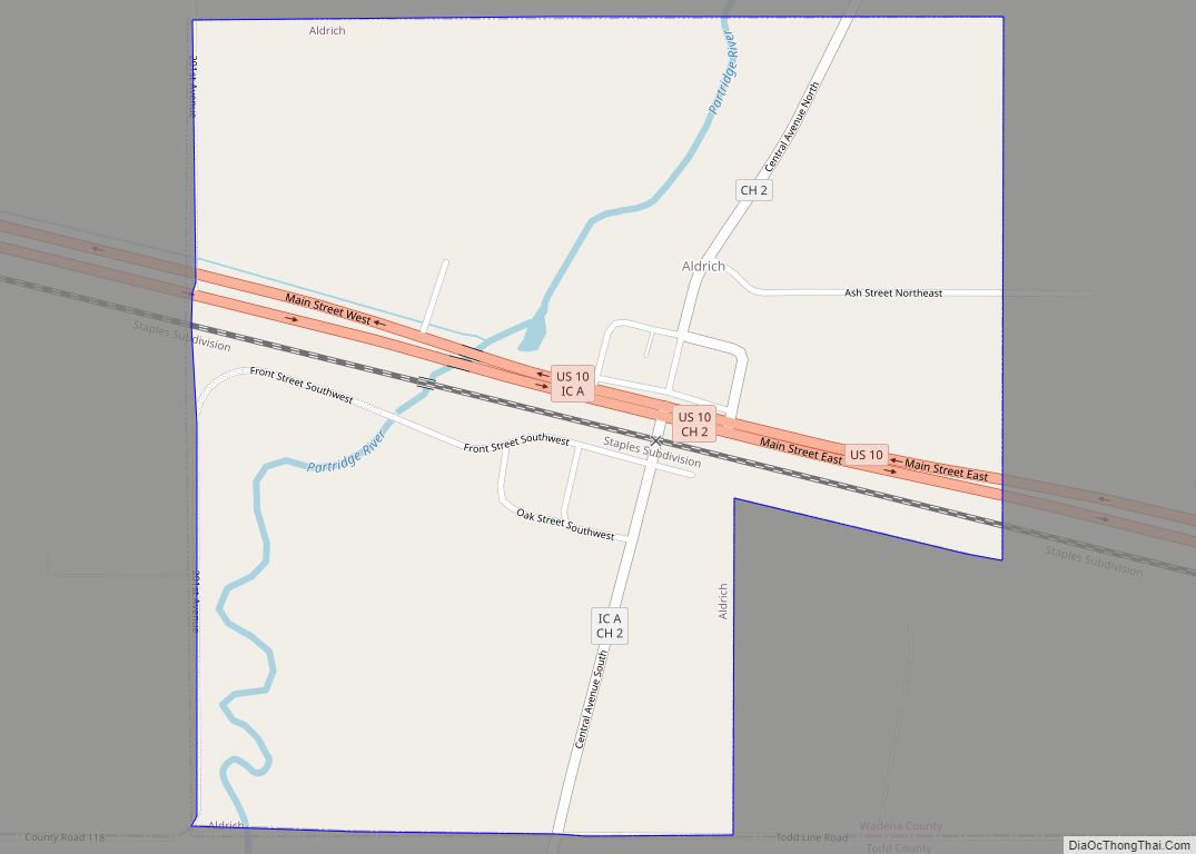
Online Interactive Map
Click on ![]() to view map in "full screen" mode.
to view map in "full screen" mode.
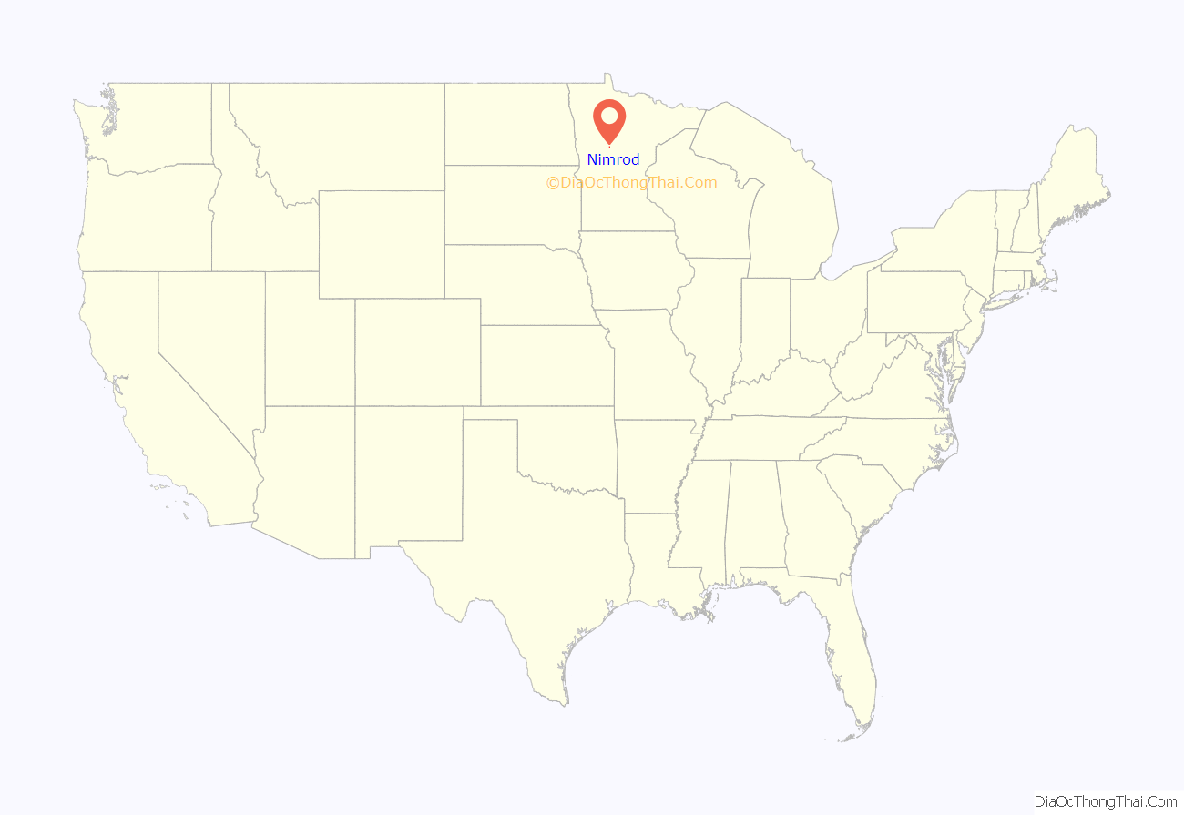
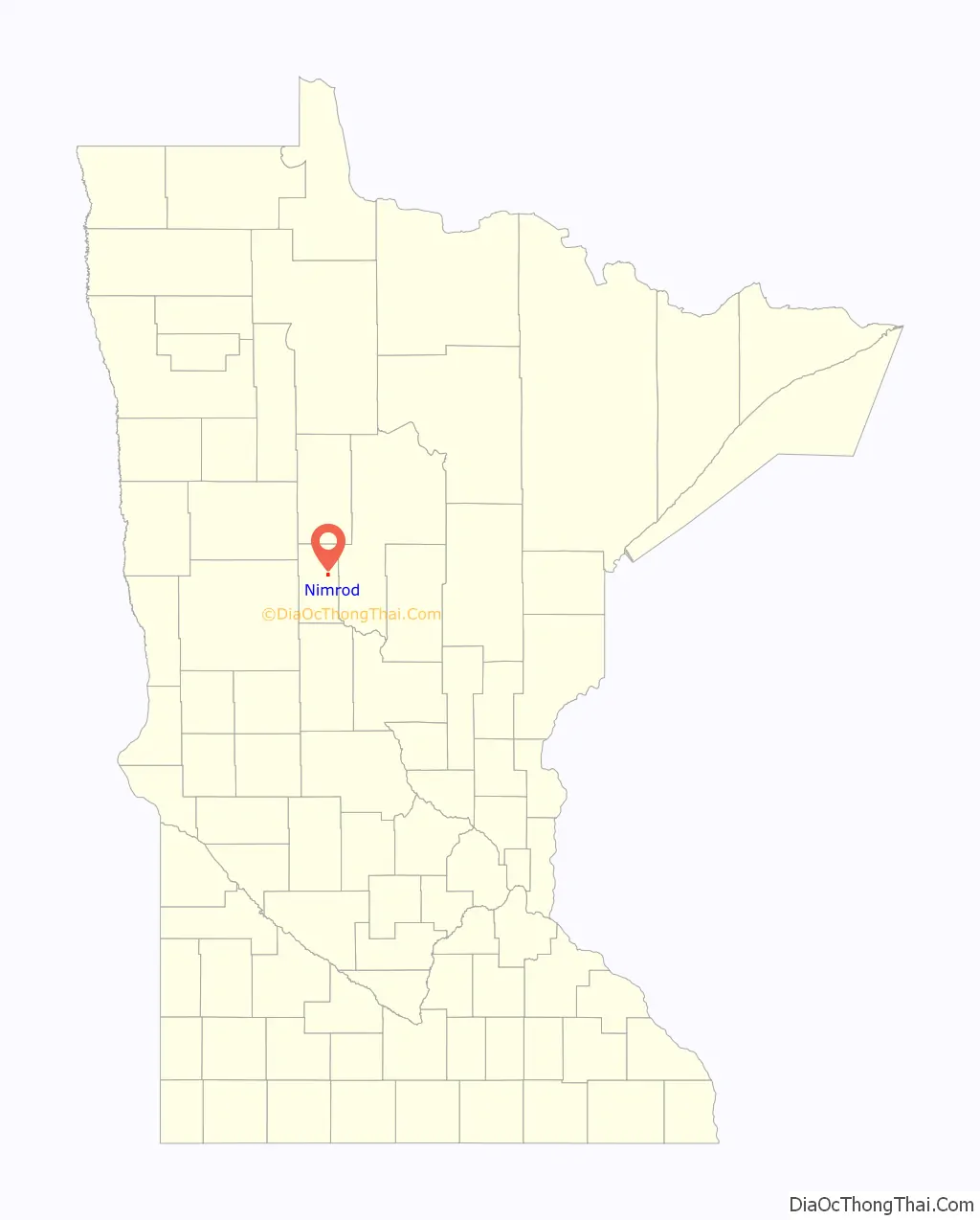
Nimrod location map. Where is Nimrod city?
History
Nimrod began as a halfway point for wheat traders traveling on the Wheat Trail between Shell City and the nearest railroad at Verndale. Nimrod was incorporated as a village in 1924 and as a city in 1946.
Nimrod Road Map
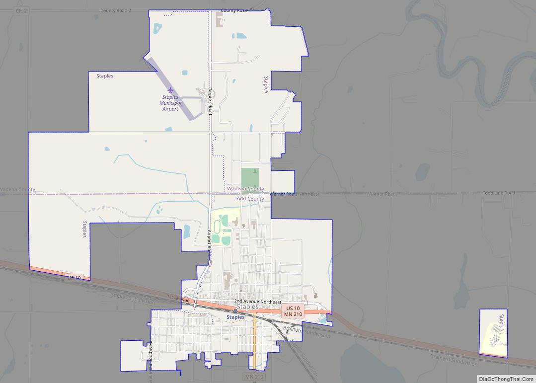
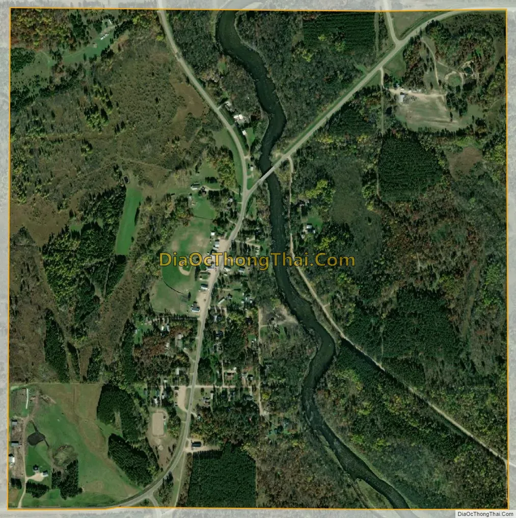
Nimrod city Satellite Map
Geography
According to the United States Census Bureau, the city has a total area of 0.97 square miles (2.51 km); 0.92 square miles (2.38 km) is land and 0.05 square miles (0.13 km) is water.
Nimrod’s city park is named Stigman’s Mound, for Dick Stigman, relief pitcher on the 1965 American League Championship-winning Minnesota Twins, who was born in Nimrod. Stigman’s Mound is located astride the Crow Wing River, a tributary of the Mississippi River, and is a key rest stop for the many canoe enthusiasts who ply the scenic river.
See also
Map of Minnesota State and its subdivision:- Aitkin
- Anoka
- Becker
- Beltrami
- Benton
- Big Stone
- Blue Earth
- Brown
- Carlton
- Carver
- Cass
- Chippewa
- Chisago
- Clay
- Clearwater
- Cook
- Cottonwood
- Crow Wing
- Dakota
- Dodge
- Douglas
- Faribault
- Fillmore
- Freeborn
- Goodhue
- Grant
- Hennepin
- Houston
- Hubbard
- Isanti
- Itasca
- Jackson
- Kanabec
- Kandiyohi
- Kittson
- Koochiching
- Lac qui Parle
- Lake
- Lake of the Woods
- Lake Superior
- Le Sueur
- Lincoln
- Lyon
- Mahnomen
- Marshall
- Martin
- McLeod
- Meeker
- Mille Lacs
- Morrison
- Mower
- Murray
- Nicollet
- Nobles
- Norman
- Olmsted
- Otter Tail
- Pennington
- Pine
- Pipestone
- Polk
- Pope
- Ramsey
- Red Lake
- Redwood
- Renville
- Rice
- Rock
- Roseau
- Saint Louis
- Scott
- Sherburne
- Sibley
- Stearns
- Steele
- Stevens
- Swift
- Todd
- Traverse
- Wabasha
- Wadena
- Waseca
- Washington
- Watonwan
- Wilkin
- Winona
- Wright
- Yellow Medicine
- Alabama
- Alaska
- Arizona
- Arkansas
- California
- Colorado
- Connecticut
- Delaware
- District of Columbia
- Florida
- Georgia
- Hawaii
- Idaho
- Illinois
- Indiana
- Iowa
- Kansas
- Kentucky
- Louisiana
- Maine
- Maryland
- Massachusetts
- Michigan
- Minnesota
- Mississippi
- Missouri
- Montana
- Nebraska
- Nevada
- New Hampshire
- New Jersey
- New Mexico
- New York
- North Carolina
- North Dakota
- Ohio
- Oklahoma
- Oregon
- Pennsylvania
- Rhode Island
- South Carolina
- South Dakota
- Tennessee
- Texas
- Utah
- Vermont
- Virginia
- Washington
- West Virginia
- Wisconsin
- Wyoming