Oak Park Heights is a city in Washington County, Minnesota, United States. The population was 4,849 at the 2020 census.
| Name: | Oak Park Heights city |
|---|---|
| LSAD Code: | 25 |
| LSAD Description: | city (suffix) |
| State: | Minnesota |
| County: | Washington County |
| Founded: | 1857 |
| Elevation: | 915 ft (279 m) |
| Total Area: | 3.35 sq mi (8.66 km²) |
| Land Area: | 2.93 sq mi (7.58 km²) |
| Water Area: | 0.42 sq mi (1.09 km²) |
| Total Population: | 4,849 |
| Population Density: | 1,657.21/sq mi (639.89/km²) |
| ZIP code: | 55082 |
| Area code: | 651 |
| FIPS code: | 2747914 |
| GNISfeature ID: | 2395285 |
| Website: | cityofoakparkheights.com |
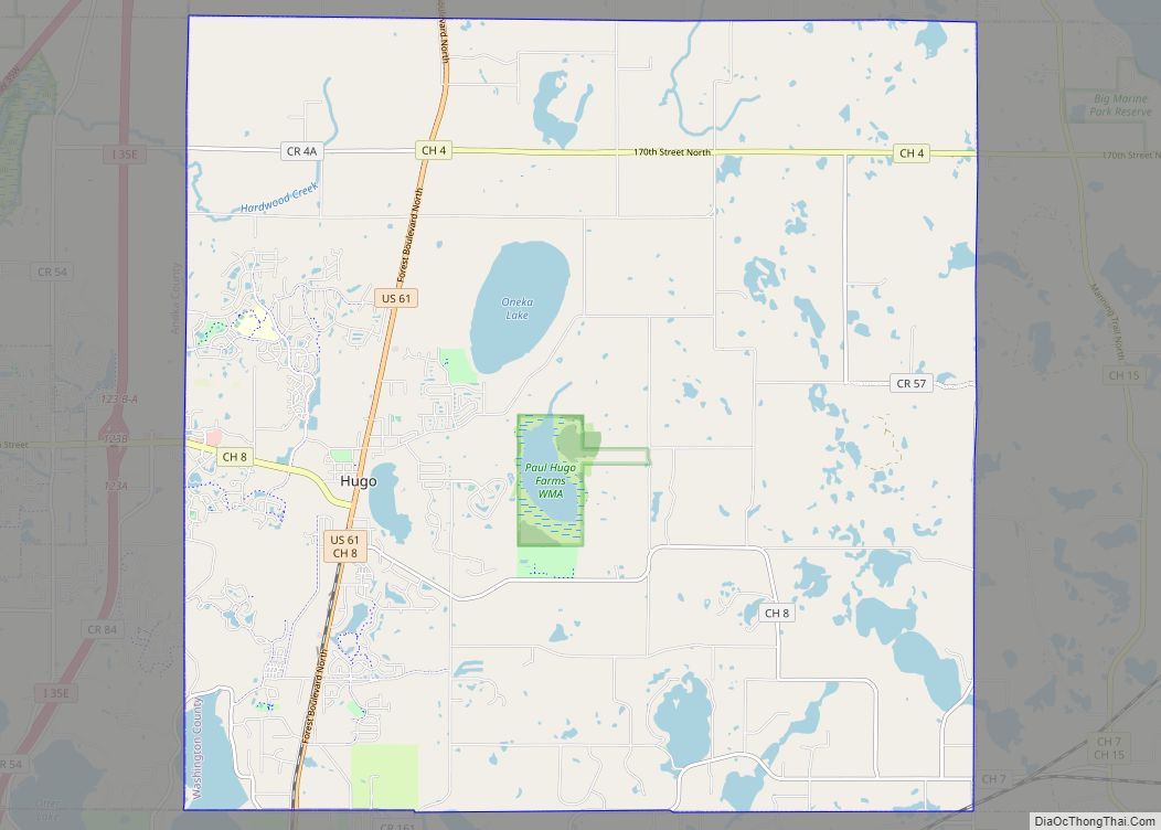
Online Interactive Map
Click on ![]() to view map in "full screen" mode.
to view map in "full screen" mode.
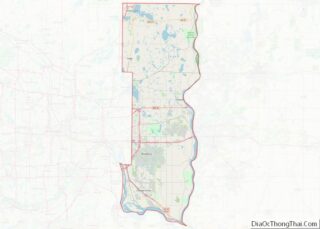
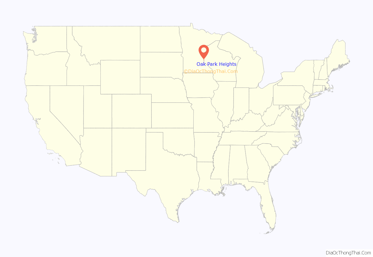
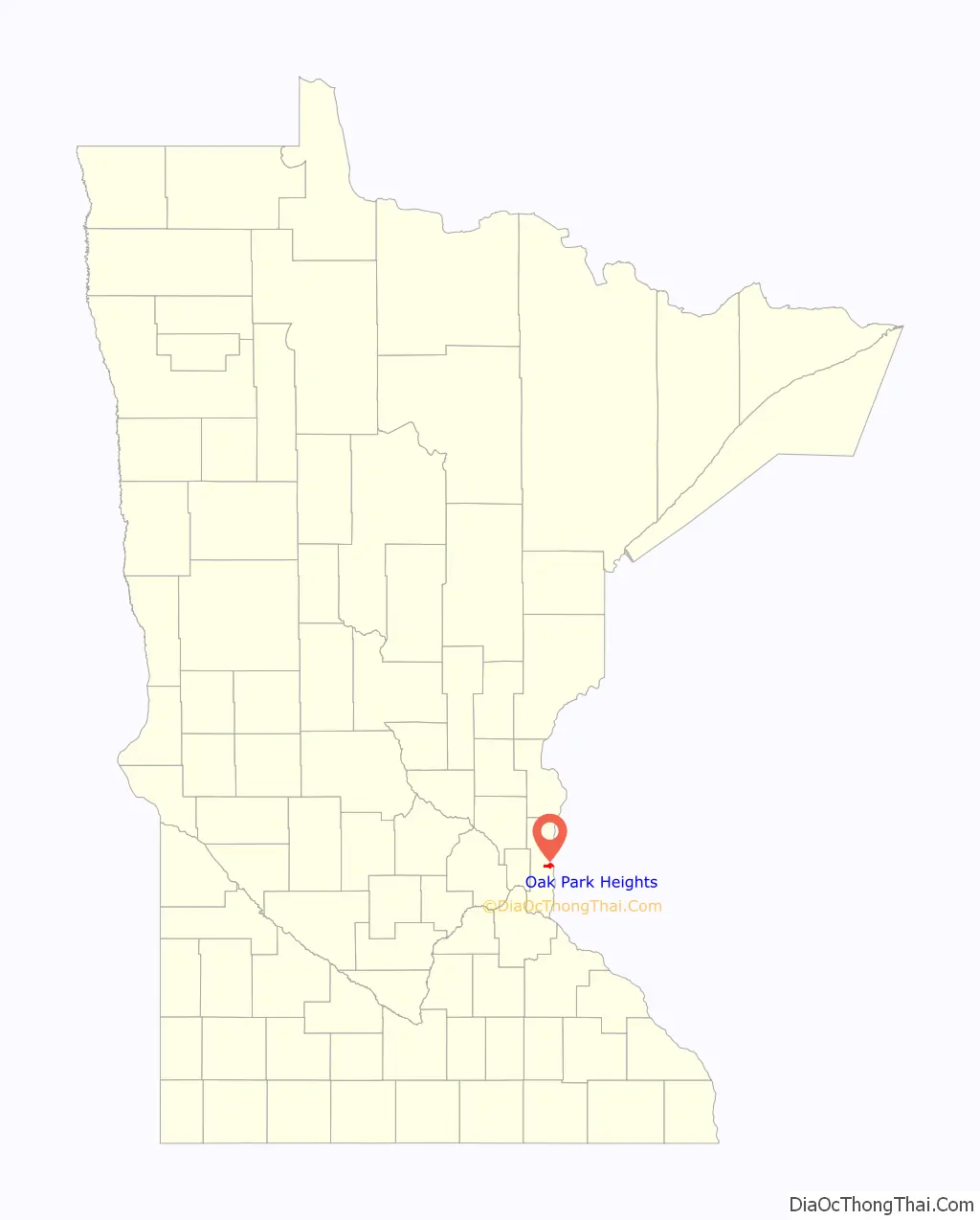
Oak Park Heights location map. Where is Oak Park Heights city?
History
Formerly called simply Oak Park, the city was platted in 1857. The 1932 Log Cabin restaurant and 1939 Stillwater Overlook are listed on the National Register of Historic Places.
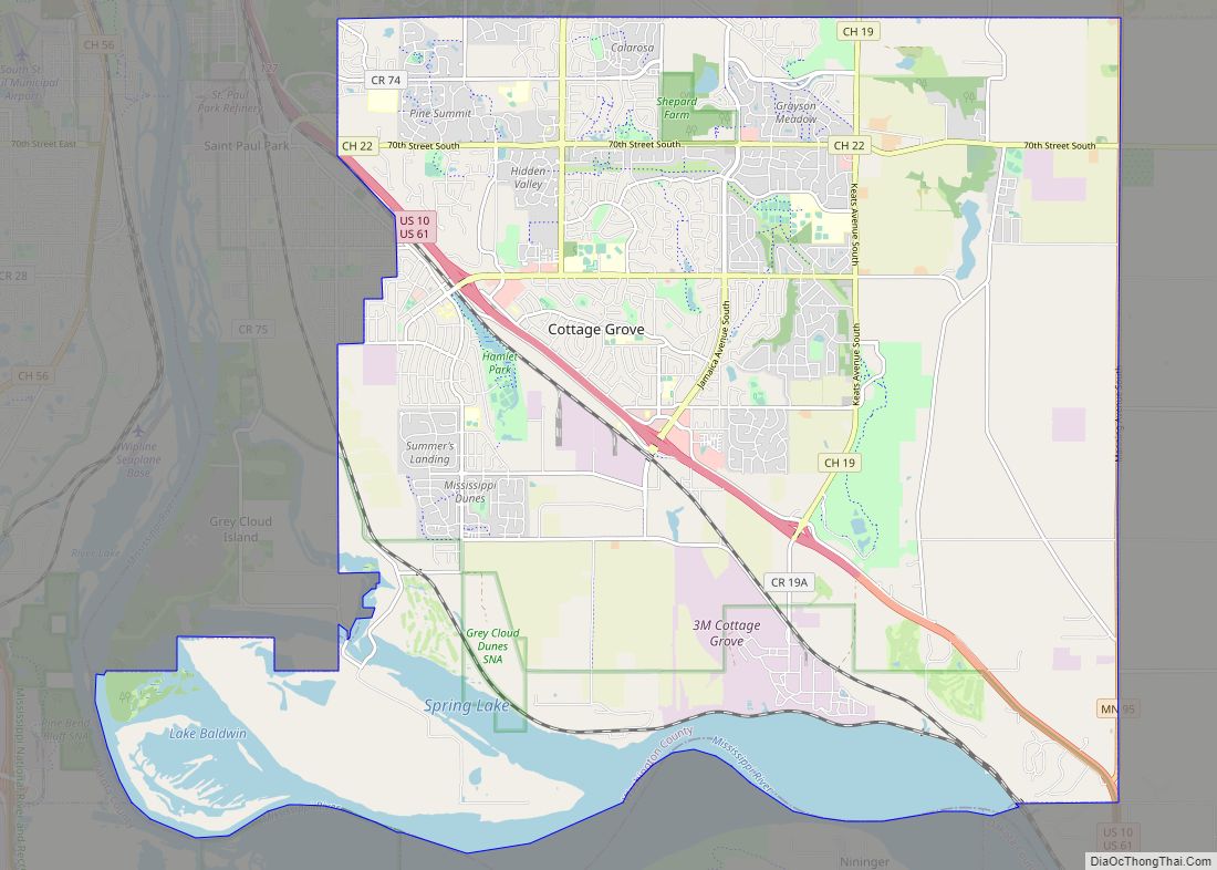
Oak Park Heights Road Map
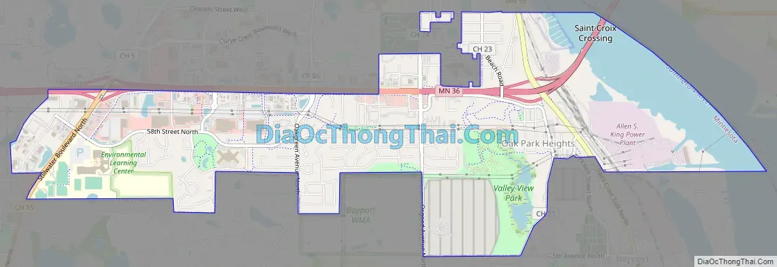
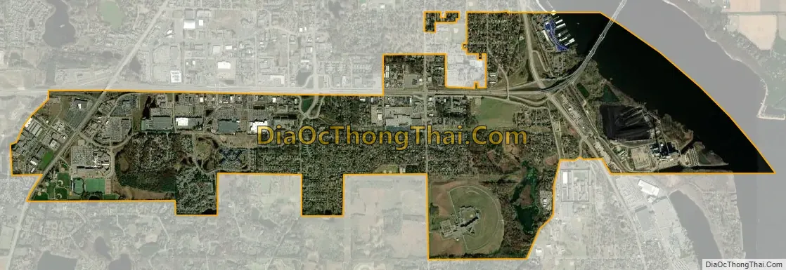
Oak Park Heights city Satellite Map
Geography
According to the United States Census Bureau, the city has a total area of 3.03 square miles (7.85 km); 2.98 square miles (7.72 km) is land and 0.05 square miles (0.13 km) is water.
Oak Park Heights is located adjacent to the city of Stillwater. Minnesota State Highways 5, 36 and 95 are three of the main routes in the community.
See also
Map of Minnesota State and its subdivision:- Aitkin
- Anoka
- Becker
- Beltrami
- Benton
- Big Stone
- Blue Earth
- Brown
- Carlton
- Carver
- Cass
- Chippewa
- Chisago
- Clay
- Clearwater
- Cook
- Cottonwood
- Crow Wing
- Dakota
- Dodge
- Douglas
- Faribault
- Fillmore
- Freeborn
- Goodhue
- Grant
- Hennepin
- Houston
- Hubbard
- Isanti
- Itasca
- Jackson
- Kanabec
- Kandiyohi
- Kittson
- Koochiching
- Lac qui Parle
- Lake
- Lake of the Woods
- Lake Superior
- Le Sueur
- Lincoln
- Lyon
- Mahnomen
- Marshall
- Martin
- McLeod
- Meeker
- Mille Lacs
- Morrison
- Mower
- Murray
- Nicollet
- Nobles
- Norman
- Olmsted
- Otter Tail
- Pennington
- Pine
- Pipestone
- Polk
- Pope
- Ramsey
- Red Lake
- Redwood
- Renville
- Rice
- Rock
- Roseau
- Saint Louis
- Scott
- Sherburne
- Sibley
- Stearns
- Steele
- Stevens
- Swift
- Todd
- Traverse
- Wabasha
- Wadena
- Waseca
- Washington
- Watonwan
- Wilkin
- Winona
- Wright
- Yellow Medicine
- Alabama
- Alaska
- Arizona
- Arkansas
- California
- Colorado
- Connecticut
- Delaware
- District of Columbia
- Florida
- Georgia
- Hawaii
- Idaho
- Illinois
- Indiana
- Iowa
- Kansas
- Kentucky
- Louisiana
- Maine
- Maryland
- Massachusetts
- Michigan
- Minnesota
- Mississippi
- Missouri
- Montana
- Nebraska
- Nevada
- New Hampshire
- New Jersey
- New Mexico
- New York
- North Carolina
- North Dakota
- Ohio
- Oklahoma
- Oregon
- Pennsylvania
- Rhode Island
- South Carolina
- South Dakota
- Tennessee
- Texas
- Utah
- Vermont
- Virginia
- Washington
- West Virginia
- Wisconsin
- Wyoming