Stillwater is a city in the U.S. state of Minnesota and the county seat of Washington County. It is in the Minneapolis–Saint Paul metropolitan area, on the west bank of the St. Croix River, across from Houlton, Wisconsin. Stillwater’s population was 19,394 at the 2020 census. Stillwater is often called “the birthplace of Minnesota” due to its role in the establishment of the state.
| Name: | Stillwater city |
|---|---|
| LSAD Code: | 25 |
| LSAD Description: | city (suffix) |
| State: | Minnesota |
| County: | Washington County |
| Elevation: | 866 ft (264 m) |
| Total Area: | 9.07 sq mi (23.50 km²) |
| Land Area: | 8.05 sq mi (20.84 km²) |
| Water Area: | 1.03 sq mi (2.66 km²) |
| Total Population: | 19,394 |
| Population Density: | 2,410.39/sq mi (930.66/km²) |
| Area code: | 651 |
| FIPS code: | 2762824 |
| GNISfeature ID: | 2395969 |
| Website: | www.ci.stillwater.mn.us |
Online Interactive Map
Click on ![]() to view map in "full screen" mode.
to view map in "full screen" mode.
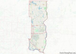
Stillwater location map. Where is Stillwater city?


History
In the 1830s, European Americans were pressing west into this territory. The U.S. government tried to arrange for their settlement in Native American lands, and on July 29 and September 29, 1837, it signed treaties with the local Ojibwe and Dakota nations to allow such settlement in the St. Croix Valley.
The settlement was founded on October 26, 1843, when four partners formed the Stillwater Lumber Company. Settlers were drawn by the area’s abundant lumber and river traffic resulting from the industry. This was one of Minnesota’s oldest towns, preceding Minneapolis by several years. Stillwater was officially incorporated as a city on March 4, 1854 (the same day as St. Paul).
Stillwater is often called the birthplace of Minnesota. In 1848, a territorial convention that began the process of establishing Minnesota as a state was held in Stillwater, at the corner of Myrtle and Main streets. Originally part of the Wisconsin Territory, Minnesota officially became a separate territory in 1849 and, after population increases, a state in 1858.
As more evidence of Stillwater’s importance at the time, the territorial convention selected three leading Minnesota cities as locations for three important public institutions: Saint Paul was designated as the capital; the University of Minnesota was established at Minneapolis; and Stillwater became the site of the territory’s first prison. The Minnesota Territorial Prison (later Minnesota State Prison) was opened in 1853. The prison held Cole, Jim, and Bob Younger, three of the Younger brothers of the James–Younger Gang.
Lumbering was the predominant industry in the St. Croix River Valley in the second half of the 19th century. For many years, lumbermen sent large rafts of logs down the St. Croix. They were collected at the St. Croix Boom Site two miles upstream of Stillwater, and processed in Stillwater’s many sawmills. Steamboats were used most widely on the river from 1860 to 1890. A few still operate as entertainment venues today.
David Swain operated a shipyard and engine works in Stillwater. Excursion steamboats, such as the Verne Swain and the Capitol, began to operate in the early 20th century, taking passengers to other cities along the river.
During the American Civil War, Stillwater sent men of the 1st Minnesota Volunteer Infantry Company B and the 8th Minnesota Volunteer Infantry Regiment Company C to fight for the Union.
On October 18, 1921, Charles Strite invented the automatic pop-up bread toaster in Stillwater. By 1926, the Toastmaster Company began to market the first household toaster using a redesigned version of Strite’s invention. In 1923, Nelson’s Ice Cream parlor was established.
In 1931, construction of the Stillwater lift bridge over the St. Croix River was completed at a final cost of $460,174, which was split equally between Minnesota and Wisconsin. The lift bridge is one of the city’s most iconic and visible local monuments. It was part of Minnesota State Highway 36 until 2017, when it closed to vehicle traffic. In 2020 it became part of a five-mile trail loop running through Stillwater and Houlton, Wisconsin.
In 1996 the city of Stillwater entered into an agreement with Stillwater Township to annex land. In 2015 the Stillwater city council approved the annexing the last of the land covered by the agreement. The city’s western border is now Manning Avenue (County Road 15). The northern border is now mostly, but not entirely, Minnesota Highway 96.
Stillwater c. 1860s
Washington County Courthouse
Across the street from the Courthouse, the Veterans’ Memorial for local veterans
Lift Bridge
Isaac Staples Sawmill
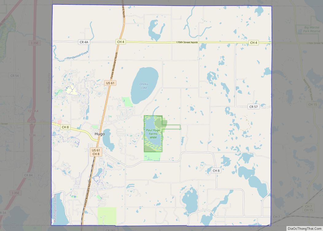
Stillwater Road Map

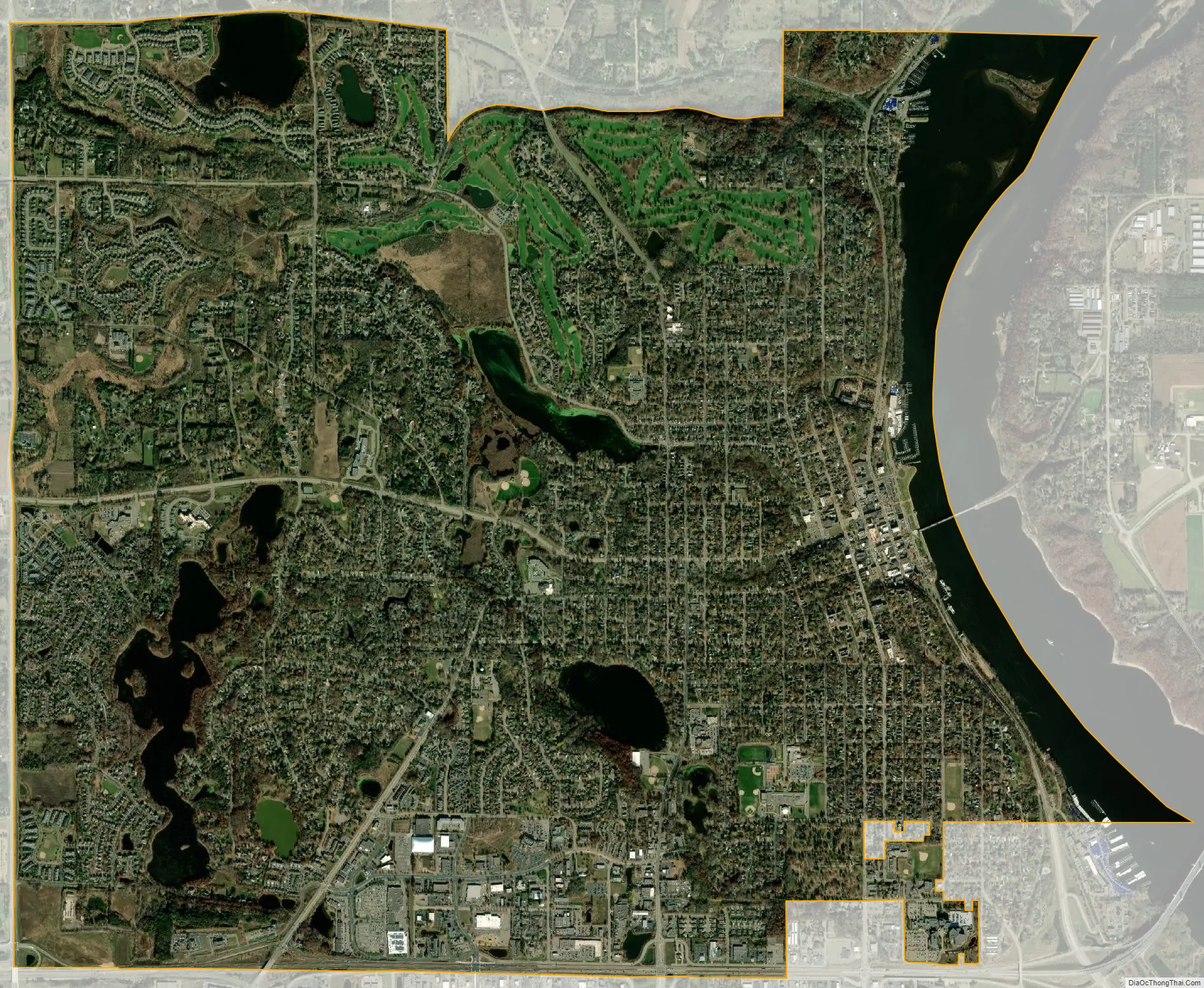
Stillwater city Satellite Map
Geography
According to the United States Census Bureau, the city has an area of 7.98 square miles (20.67 km); 6.96 square miles (18.03 km) is land and 1.02 square miles (2.64 km) is water. State Highways 36, 95, and 96 are three of the community’s main routes.
See also
Map of Minnesota State and its subdivision:- Aitkin
- Anoka
- Becker
- Beltrami
- Benton
- Big Stone
- Blue Earth
- Brown
- Carlton
- Carver
- Cass
- Chippewa
- Chisago
- Clay
- Clearwater
- Cook
- Cottonwood
- Crow Wing
- Dakota
- Dodge
- Douglas
- Faribault
- Fillmore
- Freeborn
- Goodhue
- Grant
- Hennepin
- Houston
- Hubbard
- Isanti
- Itasca
- Jackson
- Kanabec
- Kandiyohi
- Kittson
- Koochiching
- Lac qui Parle
- Lake
- Lake of the Woods
- Lake Superior
- Le Sueur
- Lincoln
- Lyon
- Mahnomen
- Marshall
- Martin
- McLeod
- Meeker
- Mille Lacs
- Morrison
- Mower
- Murray
- Nicollet
- Nobles
- Norman
- Olmsted
- Otter Tail
- Pennington
- Pine
- Pipestone
- Polk
- Pope
- Ramsey
- Red Lake
- Redwood
- Renville
- Rice
- Rock
- Roseau
- Saint Louis
- Scott
- Sherburne
- Sibley
- Stearns
- Steele
- Stevens
- Swift
- Todd
- Traverse
- Wabasha
- Wadena
- Waseca
- Washington
- Watonwan
- Wilkin
- Winona
- Wright
- Yellow Medicine
- Alabama
- Alaska
- Arizona
- Arkansas
- California
- Colorado
- Connecticut
- Delaware
- District of Columbia
- Florida
- Georgia
- Hawaii
- Idaho
- Illinois
- Indiana
- Iowa
- Kansas
- Kentucky
- Louisiana
- Maine
- Maryland
- Massachusetts
- Michigan
- Minnesota
- Mississippi
- Missouri
- Montana
- Nebraska
- Nevada
- New Hampshire
- New Jersey
- New Mexico
- New York
- North Carolina
- North Dakota
- Ohio
- Oklahoma
- Oregon
- Pennsylvania
- Rhode Island
- South Carolina
- South Dakota
- Tennessee
- Texas
- Utah
- Vermont
- Virginia
- Washington
- West Virginia
- Wisconsin
- Wyoming