Oakdale is a city in Washington County, Minnesota, United States. It is a suburb of Saint Paul and is on the eastern side of the Twin Cities Metropolitan area. The population was 27,378 at the 2010 census. Oakdale is the 32nd largest city in Minnesota by population.
Oakdale lies entirely within the North St. Paul–Maplewood–Oakdale school district, ISD 622, and the city’s students are split into two high schools within the district. Tartan Senior High School is within the city’s boundaries, and serves the southern half of Oakdale. The city’s northern residents are served by North High School in North St. Paul.
Imation (now known as Glassbridge) World Headquarters was in Oakdale. Nearby 3M headquarters employs many residents of the city.
| Name: | Oakdale city |
|---|---|
| LSAD Code: | 25 |
| LSAD Description: | city (suffix) |
| State: | Minnesota |
| County: | Washington County |
| Elevation: | 1,056 ft (322 m) |
| Total Area: | 11.31 sq mi (29.29 km²) |
| Land Area: | 10.96 sq mi (28.39 km²) |
| Water Area: | 0.35 sq mi (0.90 km²) |
| Total Population: | 28,303 |
| Population Density: | 2,582.39/sq mi (997.03/km²) |
| ZIP code: | 55042, 55128 |
| Area code: | 651 |
| FIPS code: | 2747680 |
| GNISfeature ID: | 2395287 |
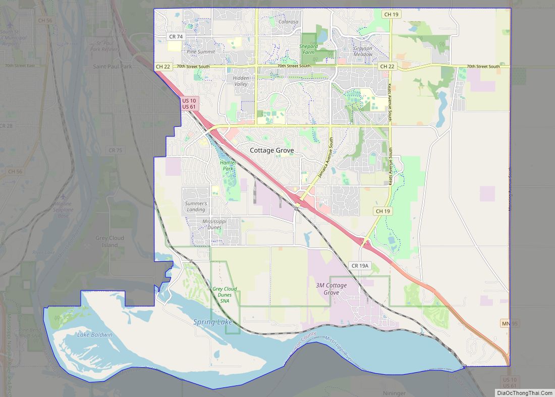
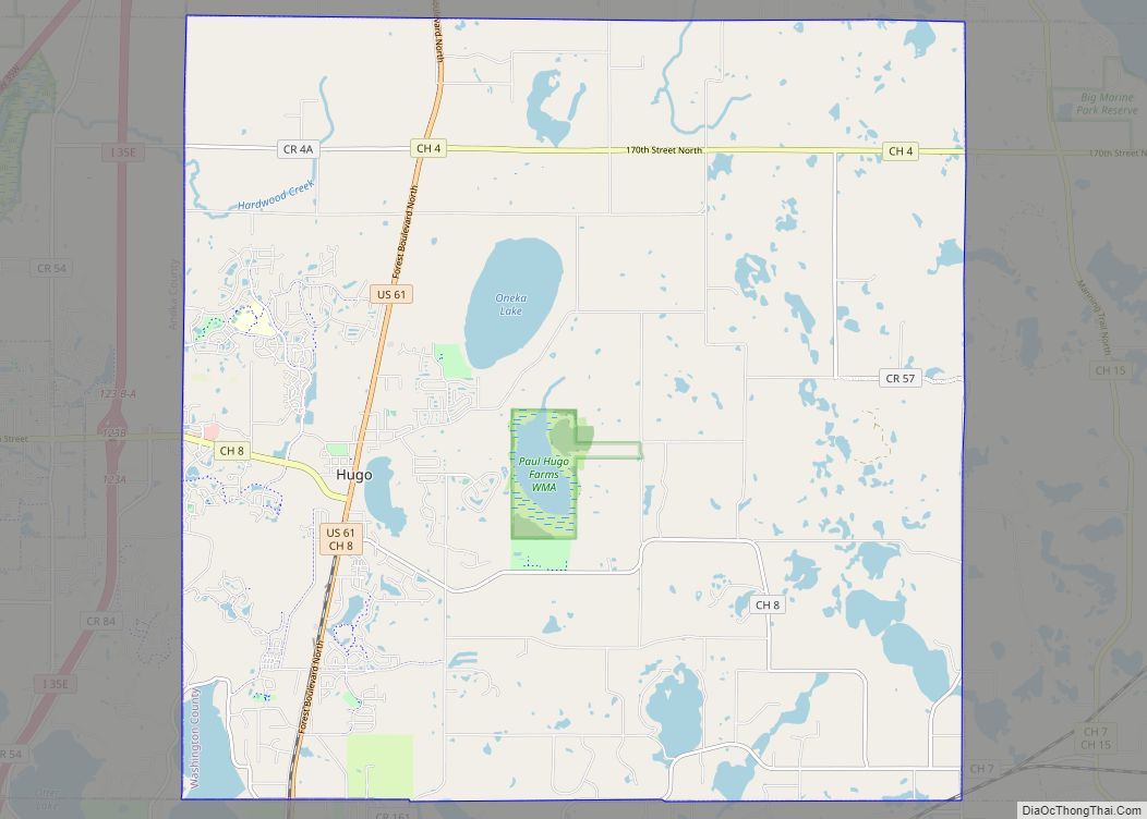
Online Interactive Map
Click on ![]() to view map in "full screen" mode.
to view map in "full screen" mode.
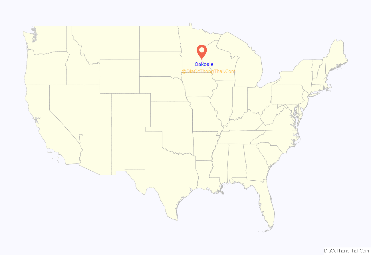
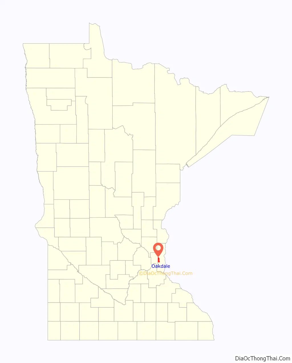
Oakdale location map. Where is Oakdale city?
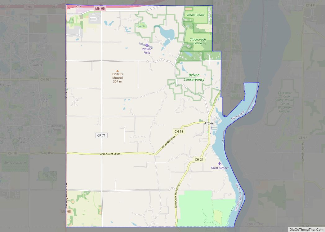
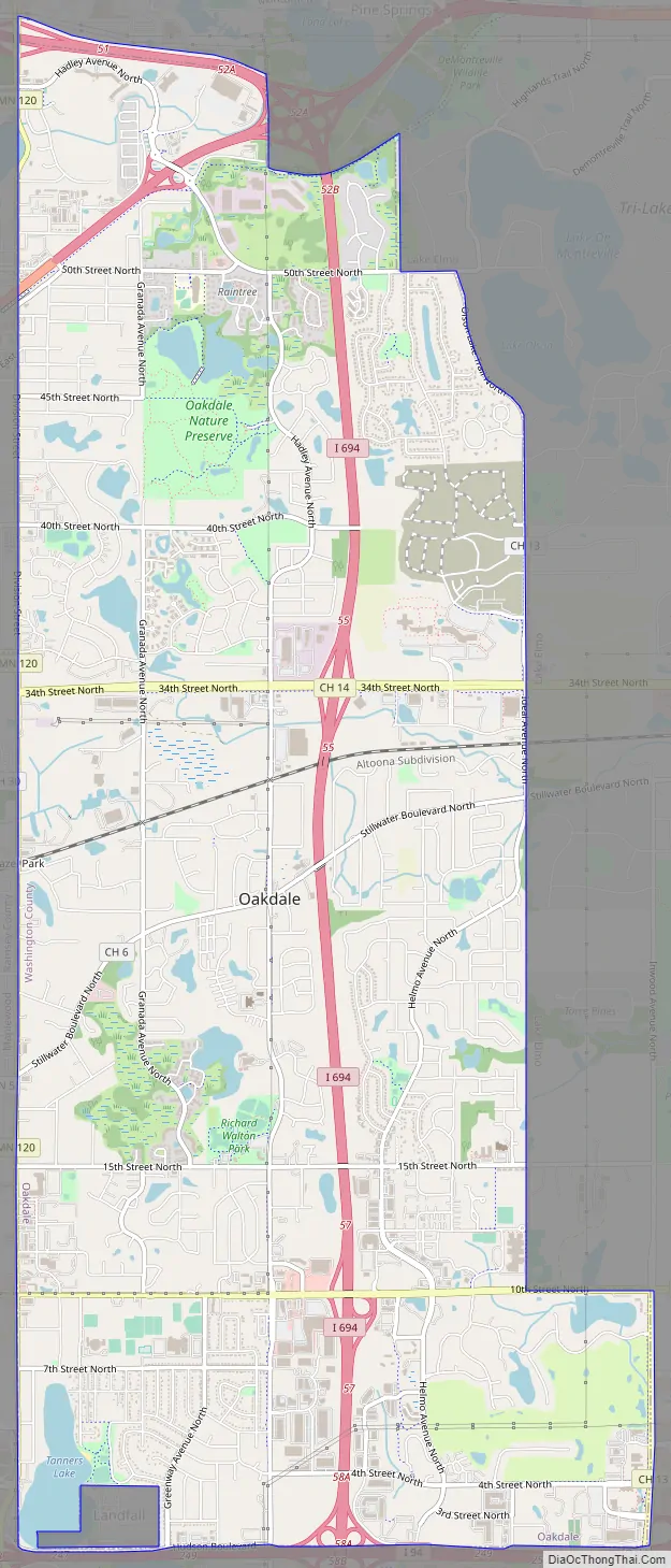
Oakdale Road Map
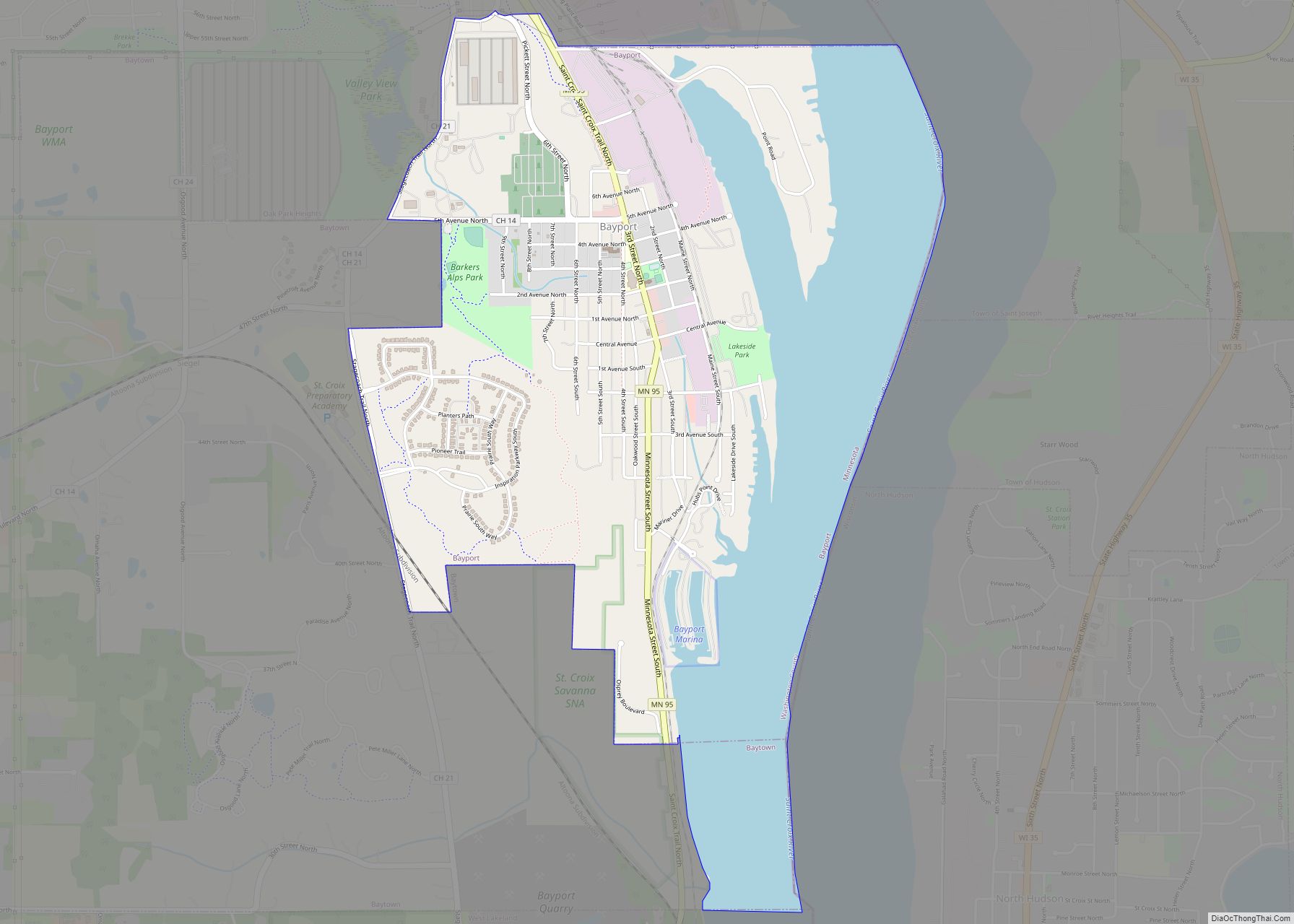
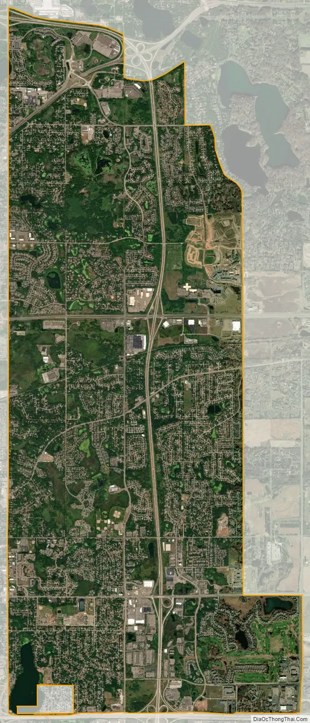
Oakdale city Satellite Map
Geography
According to the United States Census Bureau, the city has a total area of 11.29 square miles (29.24 km); 10.95 square miles (28.36 km) is land and 0.34 square miles (0.88 km) is water.
Oakdale is bound between Minnesota State Highway 120 on its west, Washington County Road 13 on its east, Interstate 694 on its north, and Interstate 94 on its south. Other main routes in the community include Minnesota State Highway 36, and Hadley Avenue North which Oakdale designates its “signature street” since it is the primary street running the length of the city and serves as a replacement for what the city lacks in a downtown or main street.
See also
Map of Minnesota State and its subdivision:- Aitkin
- Anoka
- Becker
- Beltrami
- Benton
- Big Stone
- Blue Earth
- Brown
- Carlton
- Carver
- Cass
- Chippewa
- Chisago
- Clay
- Clearwater
- Cook
- Cottonwood
- Crow Wing
- Dakota
- Dodge
- Douglas
- Faribault
- Fillmore
- Freeborn
- Goodhue
- Grant
- Hennepin
- Houston
- Hubbard
- Isanti
- Itasca
- Jackson
- Kanabec
- Kandiyohi
- Kittson
- Koochiching
- Lac qui Parle
- Lake
- Lake of the Woods
- Lake Superior
- Le Sueur
- Lincoln
- Lyon
- Mahnomen
- Marshall
- Martin
- McLeod
- Meeker
- Mille Lacs
- Morrison
- Mower
- Murray
- Nicollet
- Nobles
- Norman
- Olmsted
- Otter Tail
- Pennington
- Pine
- Pipestone
- Polk
- Pope
- Ramsey
- Red Lake
- Redwood
- Renville
- Rice
- Rock
- Roseau
- Saint Louis
- Scott
- Sherburne
- Sibley
- Stearns
- Steele
- Stevens
- Swift
- Todd
- Traverse
- Wabasha
- Wadena
- Waseca
- Washington
- Watonwan
- Wilkin
- Winona
- Wright
- Yellow Medicine
- Alabama
- Alaska
- Arizona
- Arkansas
- California
- Colorado
- Connecticut
- Delaware
- District of Columbia
- Florida
- Georgia
- Hawaii
- Idaho
- Illinois
- Indiana
- Iowa
- Kansas
- Kentucky
- Louisiana
- Maine
- Maryland
- Massachusetts
- Michigan
- Minnesota
- Mississippi
- Missouri
- Montana
- Nebraska
- Nevada
- New Hampshire
- New Jersey
- New Mexico
- New York
- North Carolina
- North Dakota
- Ohio
- Oklahoma
- Oregon
- Pennsylvania
- Rhode Island
- South Carolina
- South Dakota
- Tennessee
- Texas
- Utah
- Vermont
- Virginia
- Washington
- West Virginia
- Wisconsin
- Wyoming