North Saint Paul (abbreviated North St. Paul) is a city in Ramsey County, Minnesota, United States, located east-northeast of the city of Saint Paul. The population was 12,364 at the 2020 census.
North Saint Paul is a distinct city, and not a neighborhood of nearby Saint Paul. This fact also contributes to a major difference from typical suburbs; rather than being composed of new developments and urban sprawl, many of the structures in town are older, including a downtown area of brick storefronts.
On the east side of the Margaret Street bridge over Minnesota State Highway 36 resides the 20-ton North Saint Paul Snowman. As the official city logo of North Saint Paul, it was constructed on Margaret and 7th Streets from 1971 to 1974 by Lloyd Koesling and moved to its current location in 1990.
| Name: | North St. Paul city |
|---|---|
| LSAD Code: | 25 |
| LSAD Description: | city (suffix) |
| State: | Minnesota |
| County: | Ramsey County |
| Incorporated: | 1887 |
| Elevation: | 974 ft (297 m) |
| Total Area: | 3.01 sq mi (7.80 km²) |
| Land Area: | 2.86 sq mi (7.40 km²) |
| Water Area: | 0.16 sq mi (0.41 km²) |
| Total Population: | 12,364 |
| Population Density: | 4,329.13/sq mi (1,671.52/km²) |
| ZIP code: | 55109 |
| Area code: | 651 |
| FIPS code: | 2747221 |
| GNISfeature ID: | 0648686 |
| Website: | northstpaul.org |
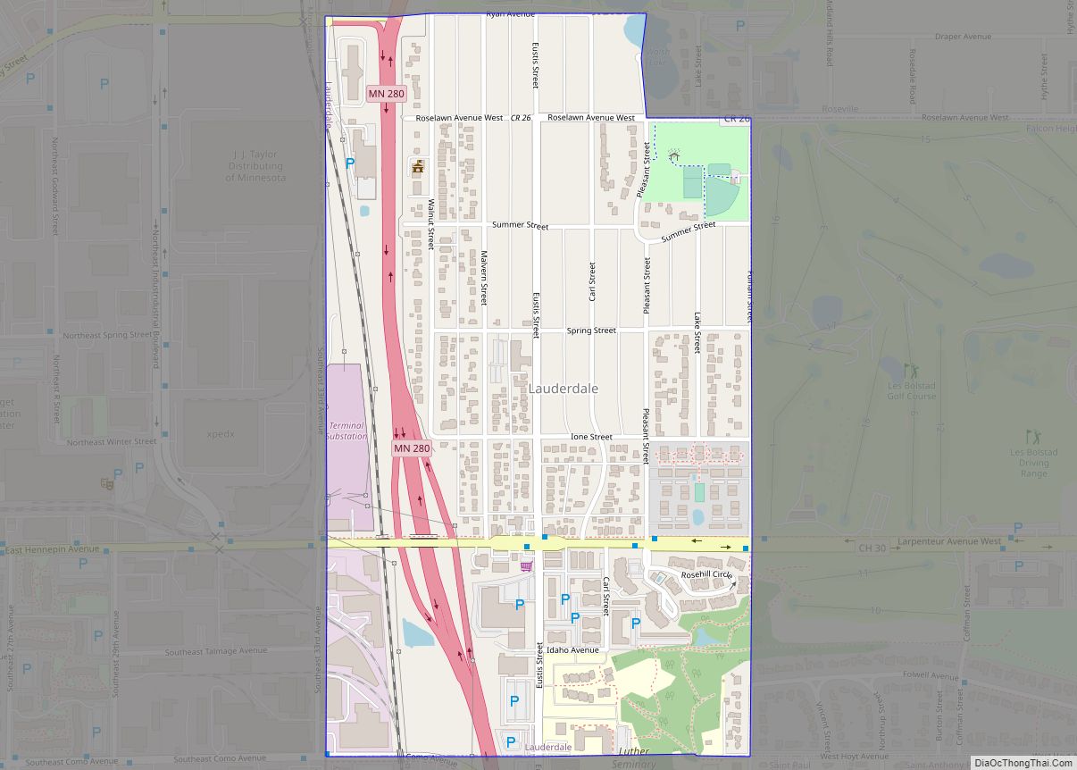
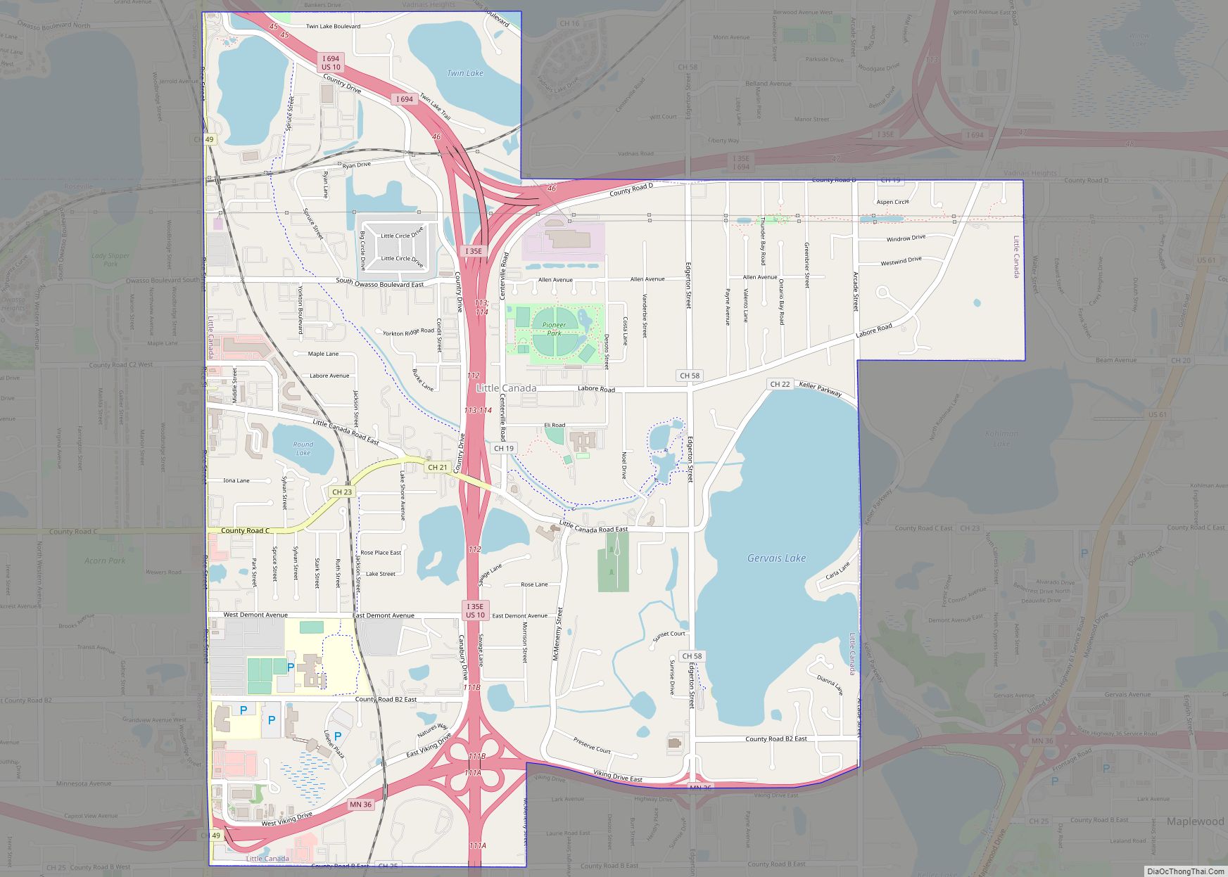
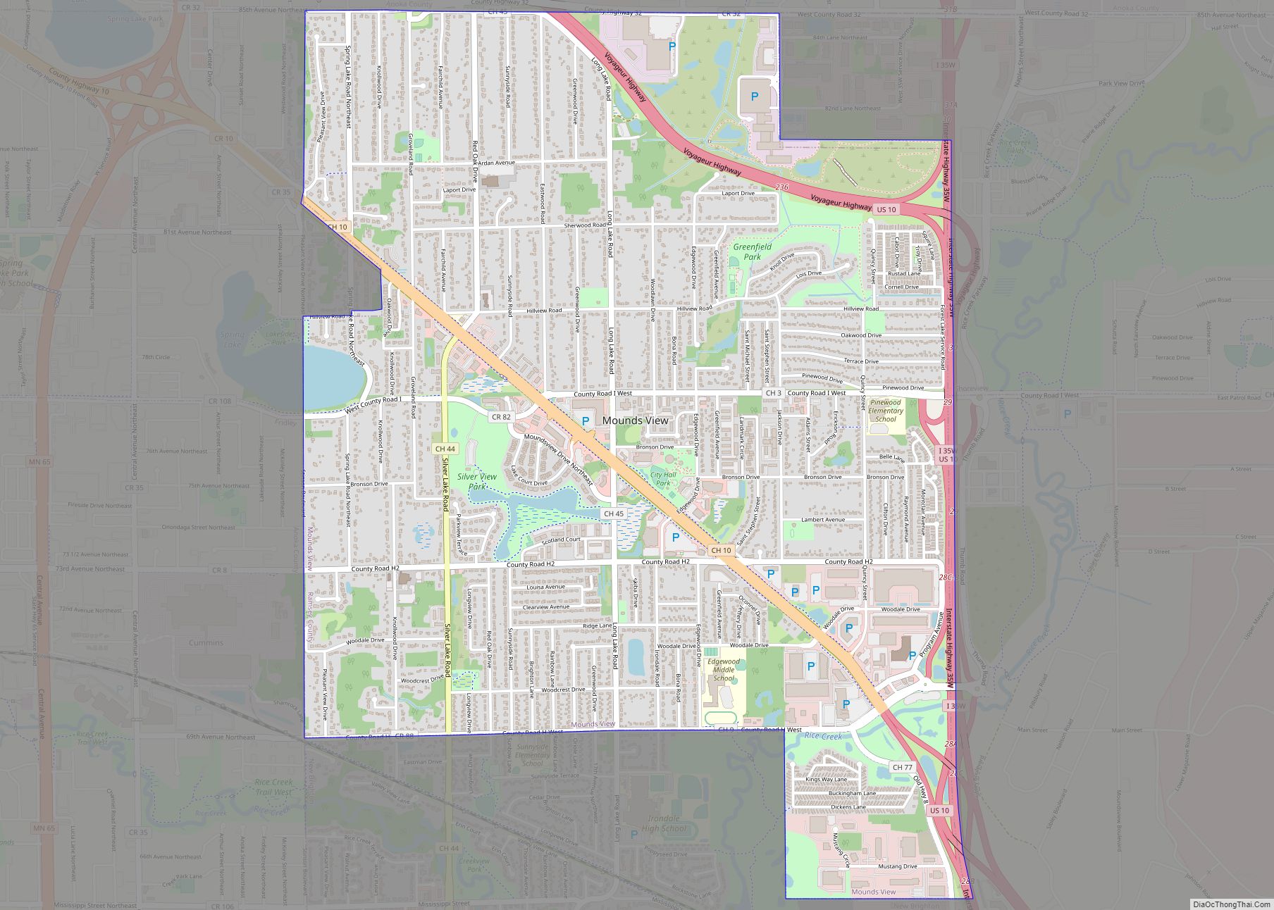
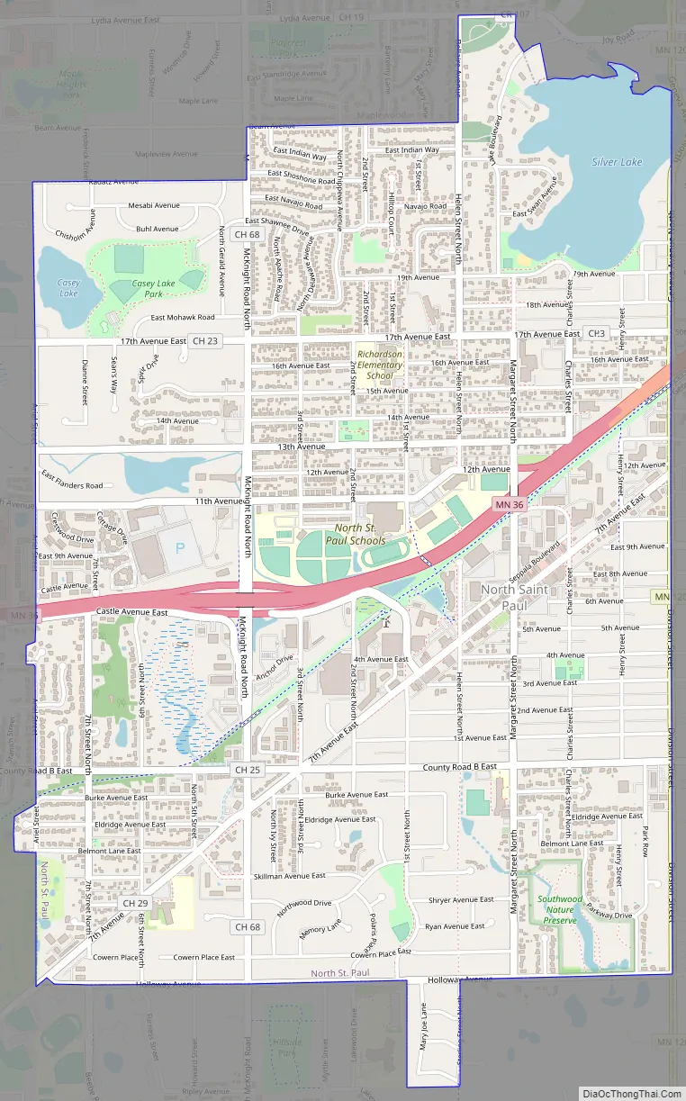
Online Interactive Map
Click on ![]() to view map in "full screen" mode.
to view map in "full screen" mode.
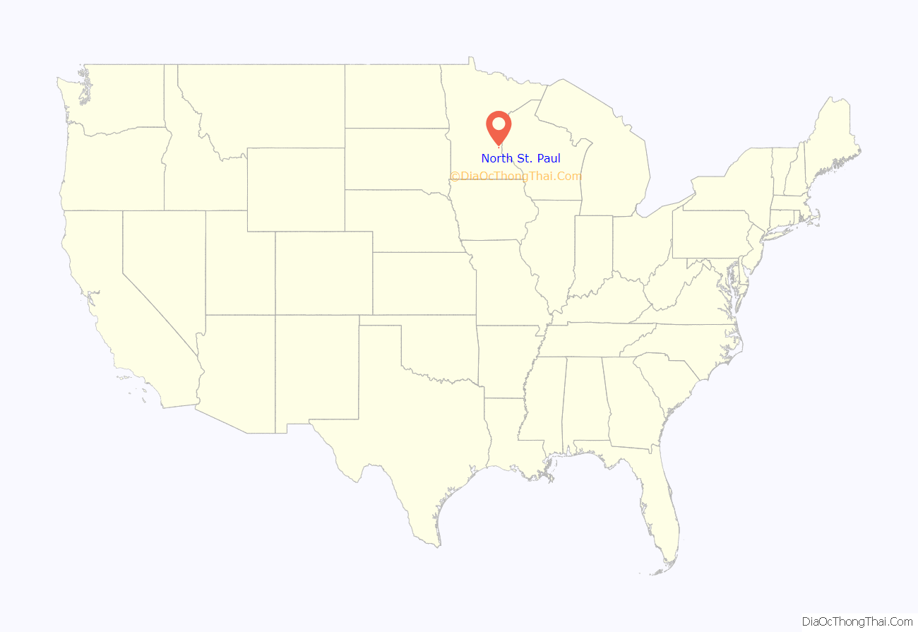
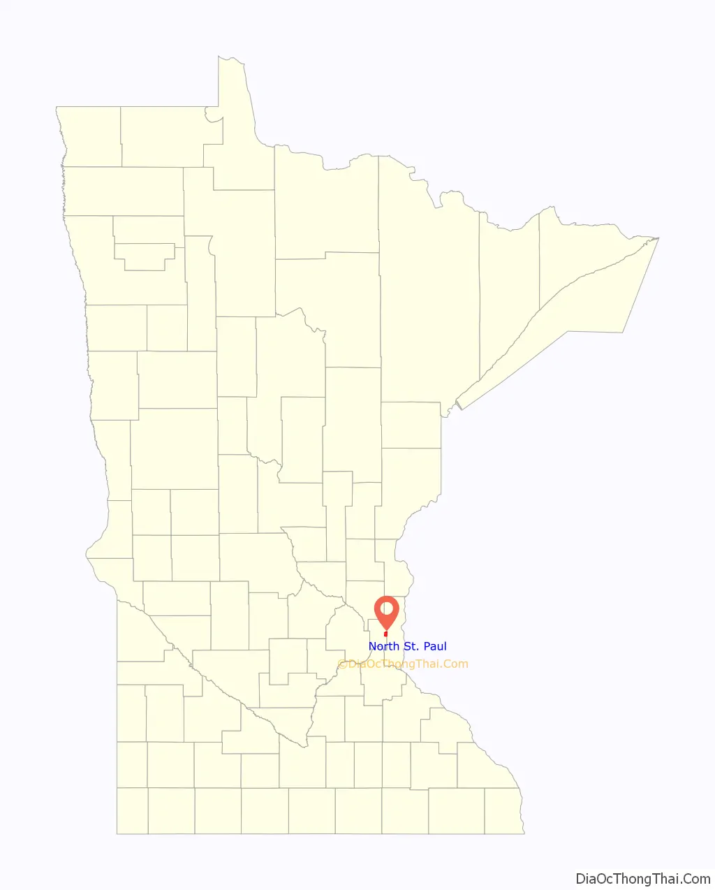
North St. Paul location map. Where is North St. Paul city?
History
North St. Paul was originally called Castle, and under the latter name was laid out in 1887 by Henry Anson Castle when the Wisconsin Central Railroad was extended to that point.
North St. Paul boasts the oldest continuously operating bar in Minnesota, Neumann’s Bar, in their historic downtown area. The original bar opened for business in 1887, and has continuously operated as an establishment serving alcoholic beverages ever since. Even during Prohibition, they served near beer in the main bar, and opened a speakeasy upstairs. Visitors can still go upstairs and see the keyhole door used to screen entrants, and the old telephone that was connected to the downstairs bar so that messages could be passed back and forth.
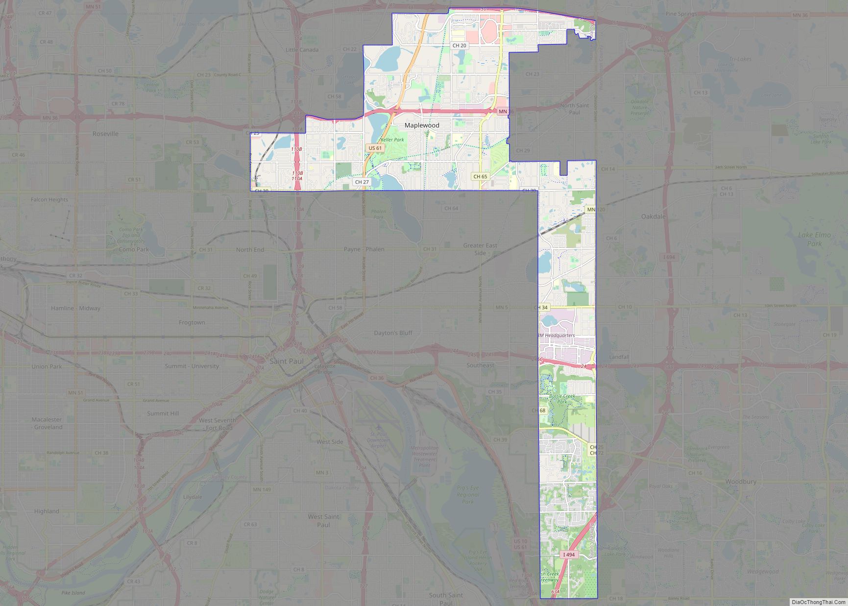
North St. Paul Road Map
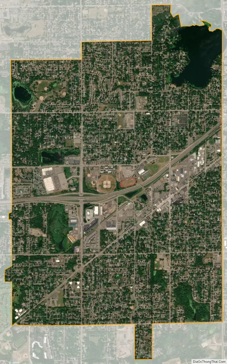
North St. Paul city Satellite Map
Geography
According to the United States Census Bureau, the city has a total area of 3.01 sq mi (7.80 km), of which 2.85 sq mi (7.38 km) is land and 0.16 sq mi (0.41 km) is water. Silver Lake and Casey Lake are the city’s largest bodies of water and both have large, adjacent parks.
See also
Map of Minnesota State and its subdivision:- Aitkin
- Anoka
- Becker
- Beltrami
- Benton
- Big Stone
- Blue Earth
- Brown
- Carlton
- Carver
- Cass
- Chippewa
- Chisago
- Clay
- Clearwater
- Cook
- Cottonwood
- Crow Wing
- Dakota
- Dodge
- Douglas
- Faribault
- Fillmore
- Freeborn
- Goodhue
- Grant
- Hennepin
- Houston
- Hubbard
- Isanti
- Itasca
- Jackson
- Kanabec
- Kandiyohi
- Kittson
- Koochiching
- Lac qui Parle
- Lake
- Lake of the Woods
- Lake Superior
- Le Sueur
- Lincoln
- Lyon
- Mahnomen
- Marshall
- Martin
- McLeod
- Meeker
- Mille Lacs
- Morrison
- Mower
- Murray
- Nicollet
- Nobles
- Norman
- Olmsted
- Otter Tail
- Pennington
- Pine
- Pipestone
- Polk
- Pope
- Ramsey
- Red Lake
- Redwood
- Renville
- Rice
- Rock
- Roseau
- Saint Louis
- Scott
- Sherburne
- Sibley
- Stearns
- Steele
- Stevens
- Swift
- Todd
- Traverse
- Wabasha
- Wadena
- Waseca
- Washington
- Watonwan
- Wilkin
- Winona
- Wright
- Yellow Medicine
- Alabama
- Alaska
- Arizona
- Arkansas
- California
- Colorado
- Connecticut
- Delaware
- District of Columbia
- Florida
- Georgia
- Hawaii
- Idaho
- Illinois
- Indiana
- Iowa
- Kansas
- Kentucky
- Louisiana
- Maine
- Maryland
- Massachusetts
- Michigan
- Minnesota
- Mississippi
- Missouri
- Montana
- Nebraska
- Nevada
- New Hampshire
- New Jersey
- New Mexico
- New York
- North Carolina
- North Dakota
- Ohio
- Oklahoma
- Oregon
- Pennsylvania
- Rhode Island
- South Carolina
- South Dakota
- Tennessee
- Texas
- Utah
- Vermont
- Virginia
- Washington
- West Virginia
- Wisconsin
- Wyoming