Oslo is a city in Marshall County, Minnesota, United States. The population was 239 at the 2020 census.
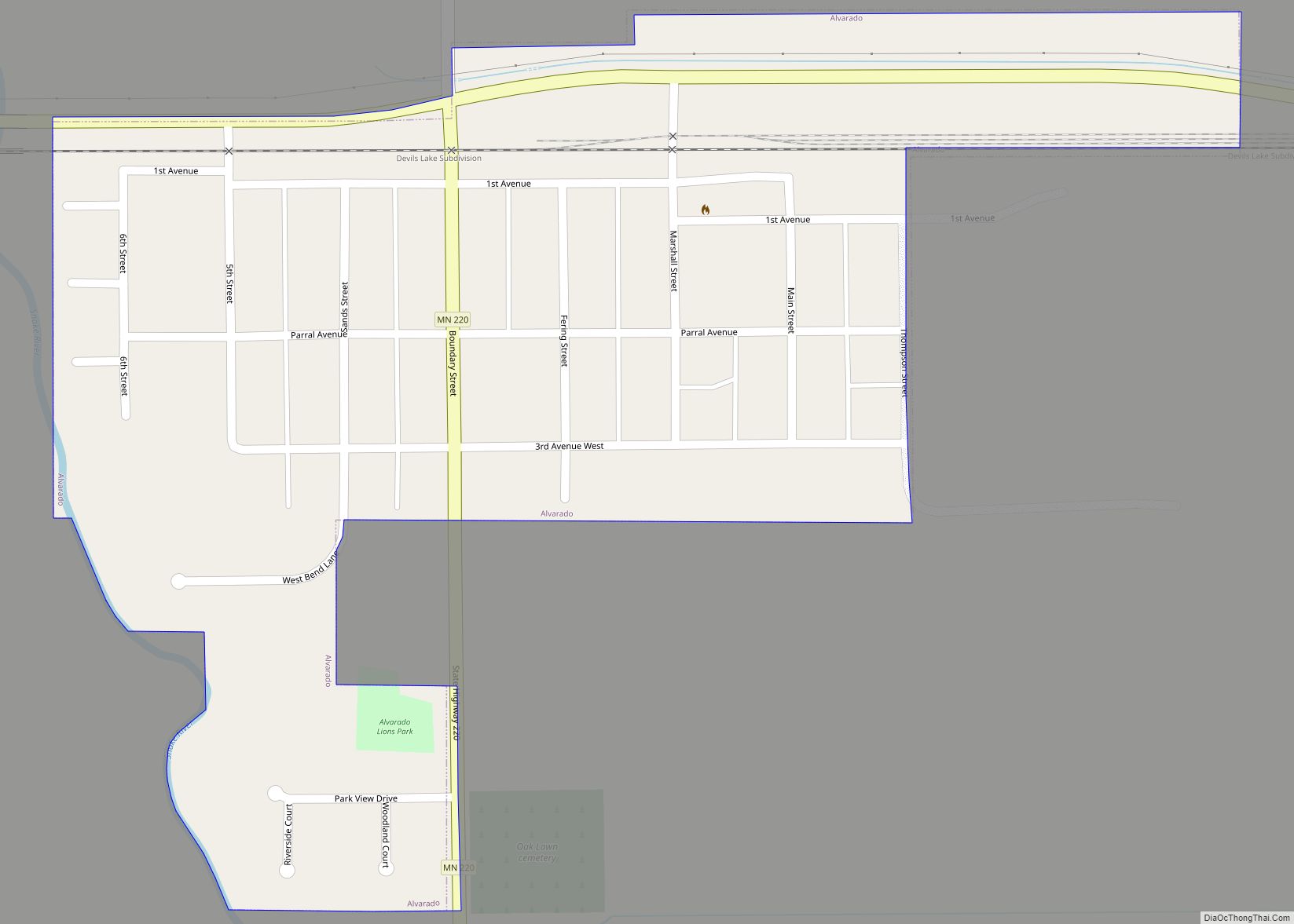
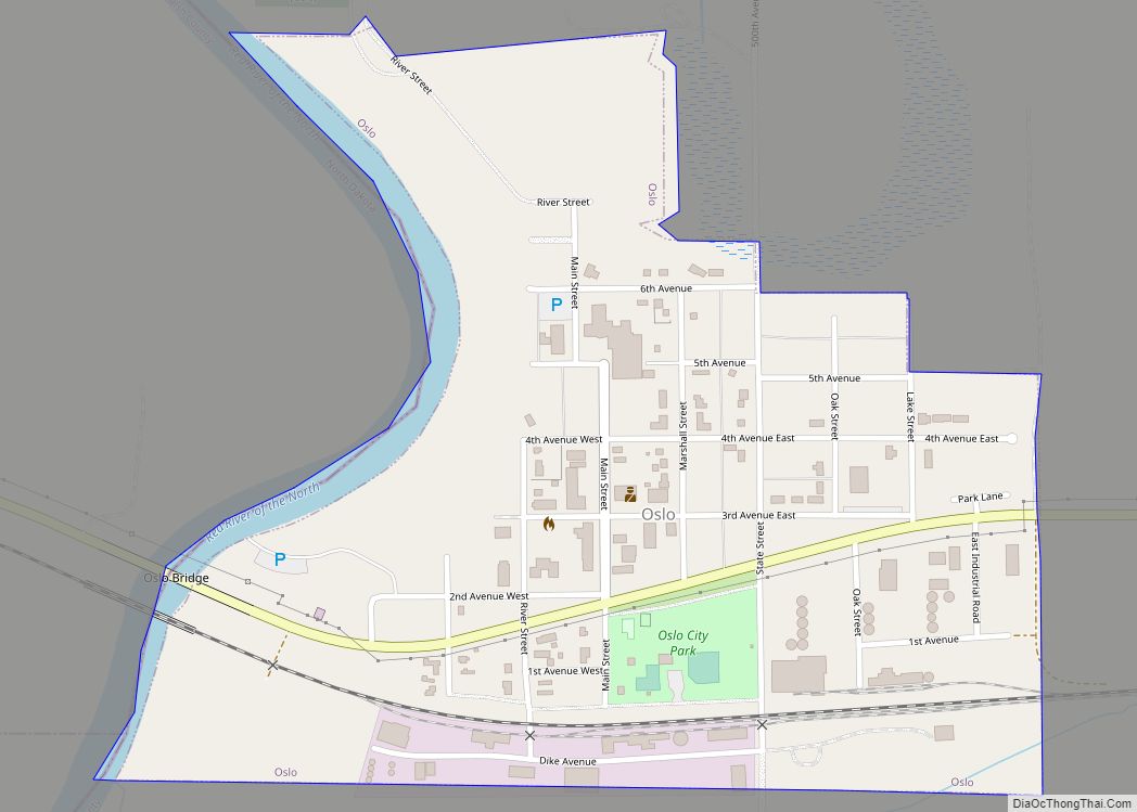
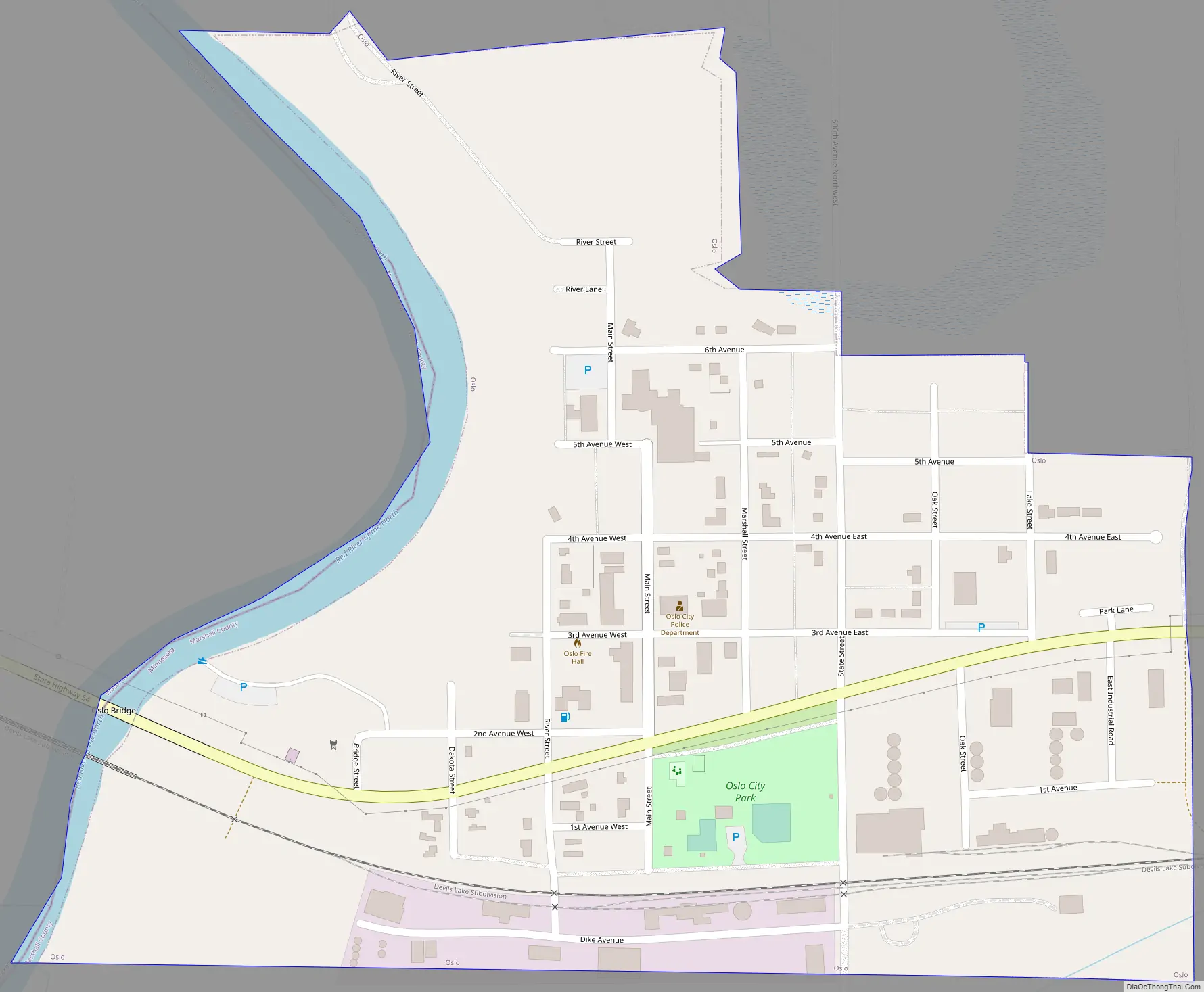
Minnesota Highway 1 and Minnesota Highway 220 are two of the main routes in the community. Oslo is three miles east of Interstate 29 in nearby North Dakota.
| Name: | Oslo city |
|---|---|
| LSAD Code: | 25 |
| LSAD Description: | city (suffix) |
| State: | Minnesota |
| County: | Marshall County |
| Elevation: | 807 ft (246 m) |
| Total Area: | 0.39 sq mi (1.01 km²) |
| Land Area: | 0.37 sq mi (0.96 km²) |
| Water Area: | 0.02 sq mi (0.05 km²) |
| Total Population: | 239 |
| Population Density: | 644.20/sq mi (248.87/km²) |
| ZIP code: | 56744 |
| Area code: | 218 |
| FIPS code: | 2748976 |
| GNISfeature ID: | 0649021 |
| Website: | oslo.ima-jenn.com |
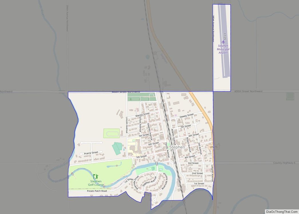
Online Interactive Map
Click on ![]() to view map in "full screen" mode.
to view map in "full screen" mode.
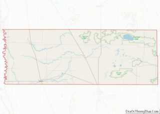
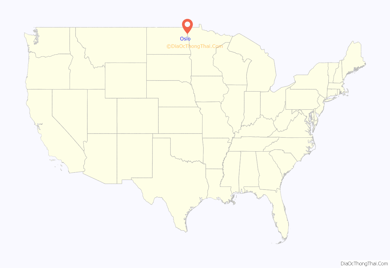
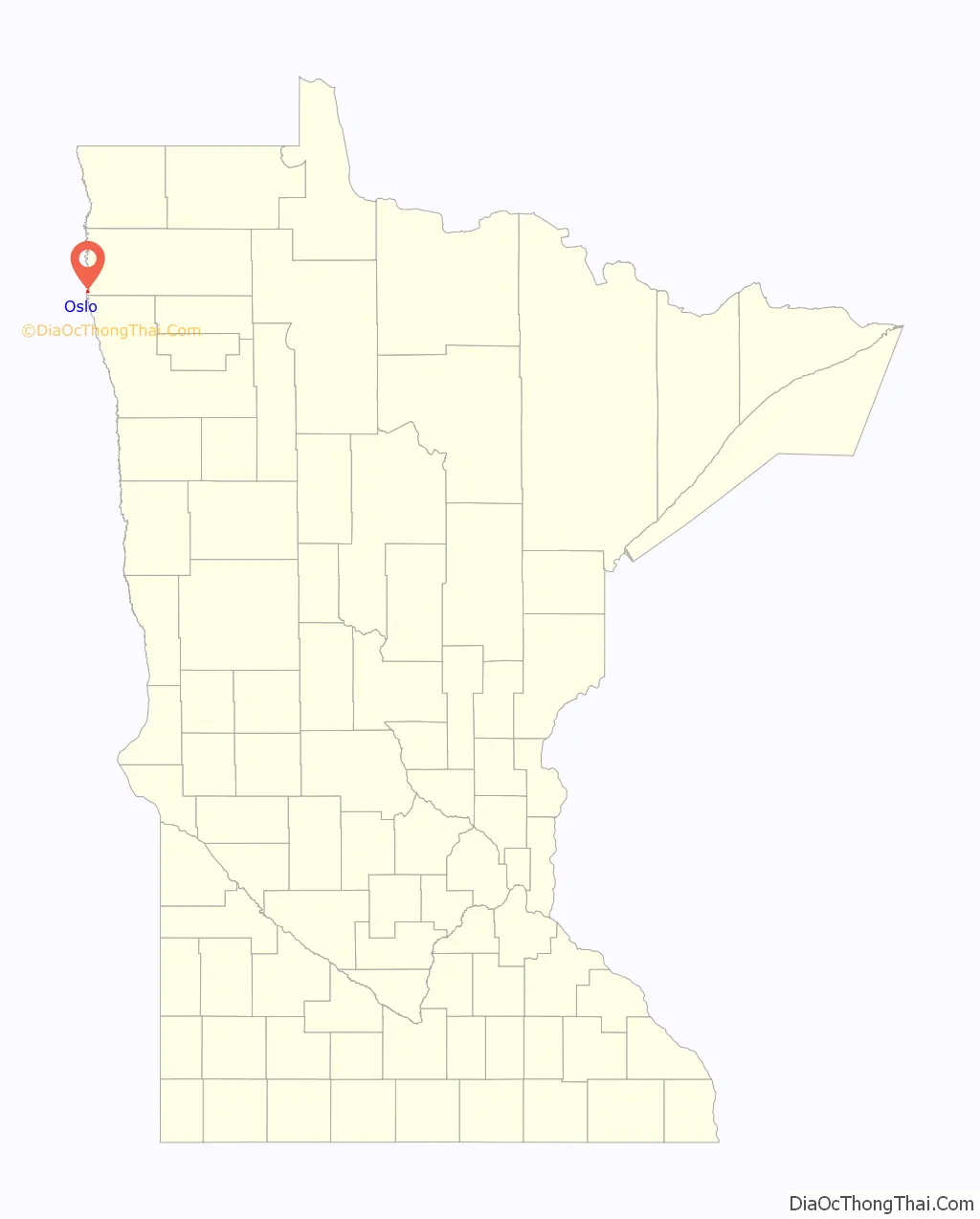
Oslo location map. Where is Oslo city?
History
A post office called Oslo has been in operation since 1905. The city was named after Oslo, the capital of Norway.
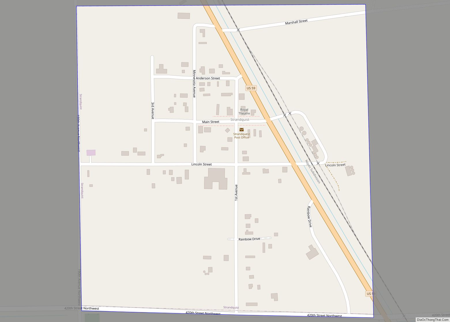
Oslo Road Map
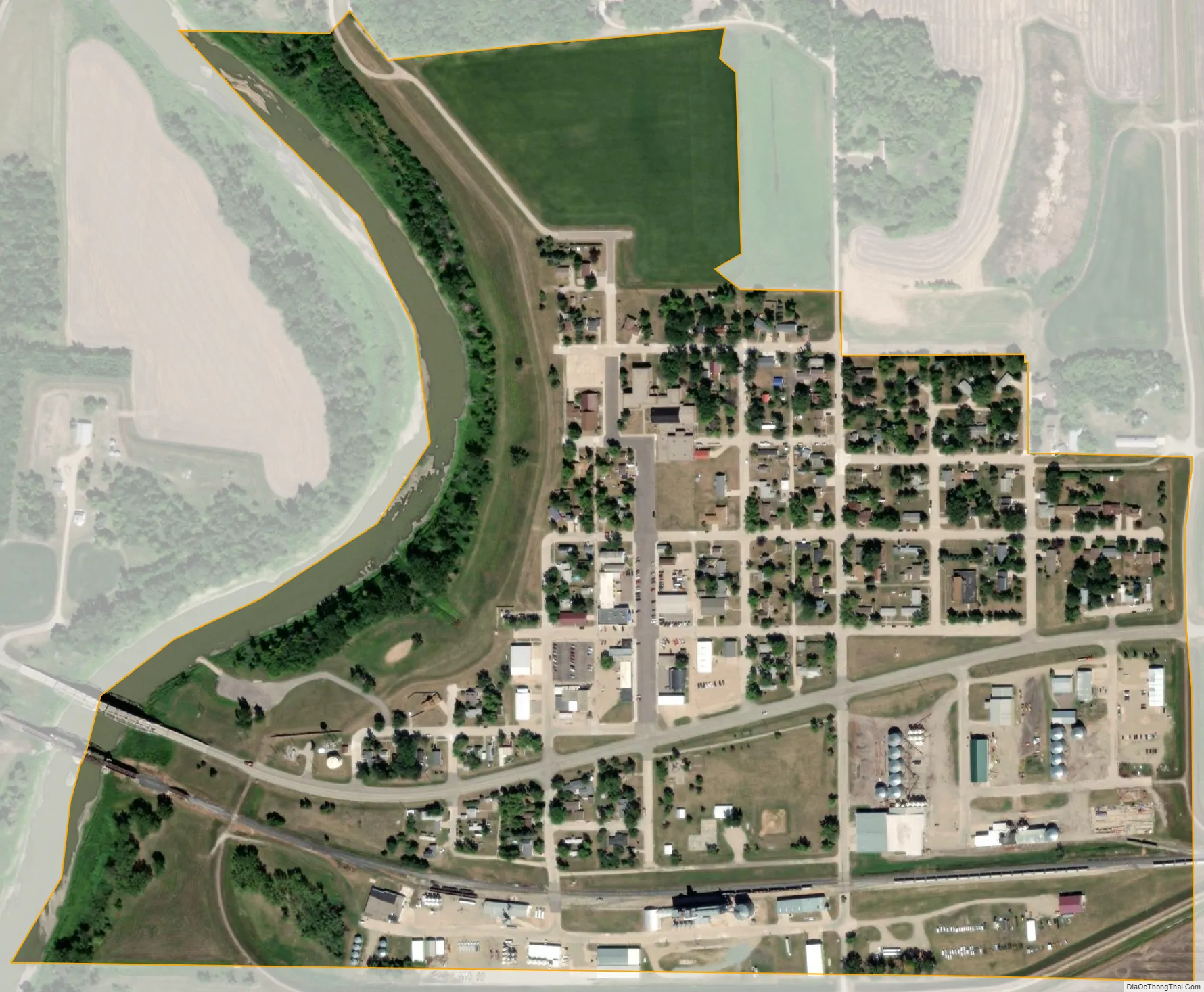
Oslo city Satellite Map
Geography
According to the United States Census Bureau, the city has a total area of 0.38 square miles (0.98 km), of which 0.36 square miles (0.93 km) is land and 0.02 square miles (0.05 km) is water.
Oslo is located along Minnesota Highway 1, adjacent to the state line of North Dakota (Walsh County).
The Red River of the North flows through at the western edge of Oslo.
See also
Map of Minnesota State and its subdivision:- Aitkin
- Anoka
- Becker
- Beltrami
- Benton
- Big Stone
- Blue Earth
- Brown
- Carlton
- Carver
- Cass
- Chippewa
- Chisago
- Clay
- Clearwater
- Cook
- Cottonwood
- Crow Wing
- Dakota
- Dodge
- Douglas
- Faribault
- Fillmore
- Freeborn
- Goodhue
- Grant
- Hennepin
- Houston
- Hubbard
- Isanti
- Itasca
- Jackson
- Kanabec
- Kandiyohi
- Kittson
- Koochiching
- Lac qui Parle
- Lake
- Lake of the Woods
- Lake Superior
- Le Sueur
- Lincoln
- Lyon
- Mahnomen
- Marshall
- Martin
- McLeod
- Meeker
- Mille Lacs
- Morrison
- Mower
- Murray
- Nicollet
- Nobles
- Norman
- Olmsted
- Otter Tail
- Pennington
- Pine
- Pipestone
- Polk
- Pope
- Ramsey
- Red Lake
- Redwood
- Renville
- Rice
- Rock
- Roseau
- Saint Louis
- Scott
- Sherburne
- Sibley
- Stearns
- Steele
- Stevens
- Swift
- Todd
- Traverse
- Wabasha
- Wadena
- Waseca
- Washington
- Watonwan
- Wilkin
- Winona
- Wright
- Yellow Medicine
- Alabama
- Alaska
- Arizona
- Arkansas
- California
- Colorado
- Connecticut
- Delaware
- District of Columbia
- Florida
- Georgia
- Hawaii
- Idaho
- Illinois
- Indiana
- Iowa
- Kansas
- Kentucky
- Louisiana
- Maine
- Maryland
- Massachusetts
- Michigan
- Minnesota
- Mississippi
- Missouri
- Montana
- Nebraska
- Nevada
- New Hampshire
- New Jersey
- New Mexico
- New York
- North Carolina
- North Dakota
- Ohio
- Oklahoma
- Oregon
- Pennsylvania
- Rhode Island
- South Carolina
- South Dakota
- Tennessee
- Texas
- Utah
- Vermont
- Virginia
- Washington
- West Virginia
- Wisconsin
- Wyoming