Pequot Lakes (/ˈpiːkwɑːt ˈleɪks/ PEE-kwaht LAYKS) is a city in Crow Wing County, Minnesota, United States. The population was 2,162 at the 2010 census. It is part of the Brainerd Micropolitan Statistical Area.
| Name: | Pequot Lakes city |
|---|---|
| LSAD Code: | 25 |
| LSAD Description: | city (suffix) |
| State: | Minnesota |
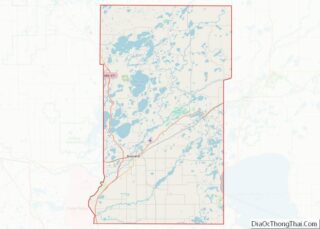
| County: | Crow Wing County |
| Elevation: | 1,283 ft (391 m) |
| Total Area: | 18.16 sq mi (47.05 km²) |
| Land Area: | 16.36 sq mi (42.38 km²) |
| Water Area: | 1.80 sq mi (4.67 km²) |
| Total Population: | 2,395 |
| Population Density: | 146.37/sq mi (56.51/km²) |
| ZIP code: | 56472 |
| Area code: | 218 |
| FIPS code: | 2750416 |
| GNISfeature ID: | 0649276 |
| Website: | www.pequotlakes-mn.gov |
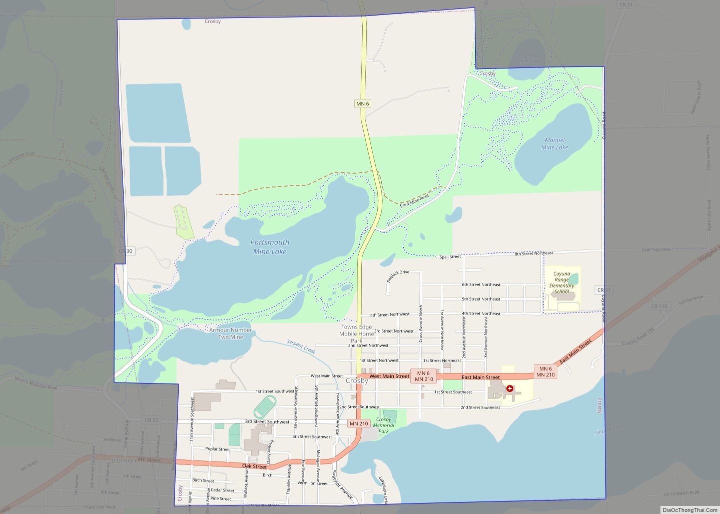
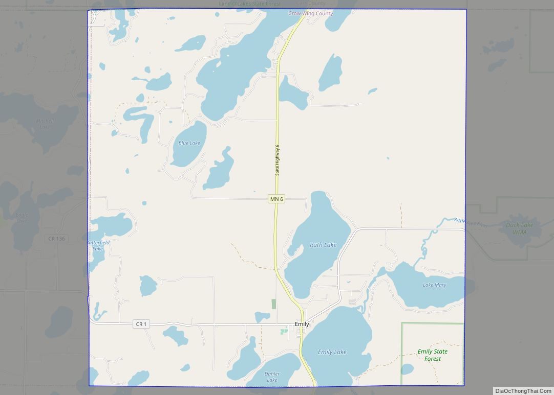
Online Interactive Map
Click on ![]() to view map in "full screen" mode.
to view map in "full screen" mode.
Pequot Lakes location map. Where is Pequot Lakes city?


History
Pequot Lakes was platted in March 1900. It was named by a postal official for the first Indian-sounding name he thought of, which is the name of a former tribe of Algonquian Indians in eastern Connecticut. A post office was established at Pequot Lakes in 1896.
According to the Pequot Lakes Heritage Preservation Commission, the city once called Sibley and Frogtown was renamed as Pequot. In 1900, Walter and Flora Brown filed their plat for the E 1/2 of the SW 1/4 section 10 in T136N-R29W under the title Pequot. The Pequot Indians are a tribe that used to dominate southeastern New England before the English colonists arrived. While no Pequot tribe members lived in Minnesota, they spoke an Algonquian language related to that of the local Chippewa (Ojibwe) tribes. Author Herman Melville named his lead ship in his novel Moby-Dick as the Pequod.
Two possible explanations for the town’s name arise:
1. The local historian Carl Zapffe suggests that a variation of the Chippewa word for arrow (bikwas), as listed by Father Barroga in his Chippewa dictionary, gave rise to the word Pequot.
2. In a 1936 interview, Laurence Anderson, who moved to the town in the mid-1890s, gave the following explanation. “A daughter of ‘Waubanaquot,’ Chief of the White Earth tribe, was named ‘O-Pequot’ and lived north of the town on the north end of Sibley Lake. She graciously allowed her dugout home to be used as a school and a church for the early settlers of the town. When she died, she was buried in the town cemetery.”
Because there was already a town named Sibley in southwest Minnesota, the U.S. Post Office said the second Sibley had to take a new name. In any event, the town officially became Pequot in 1902.
Pequot Lakes Road Map

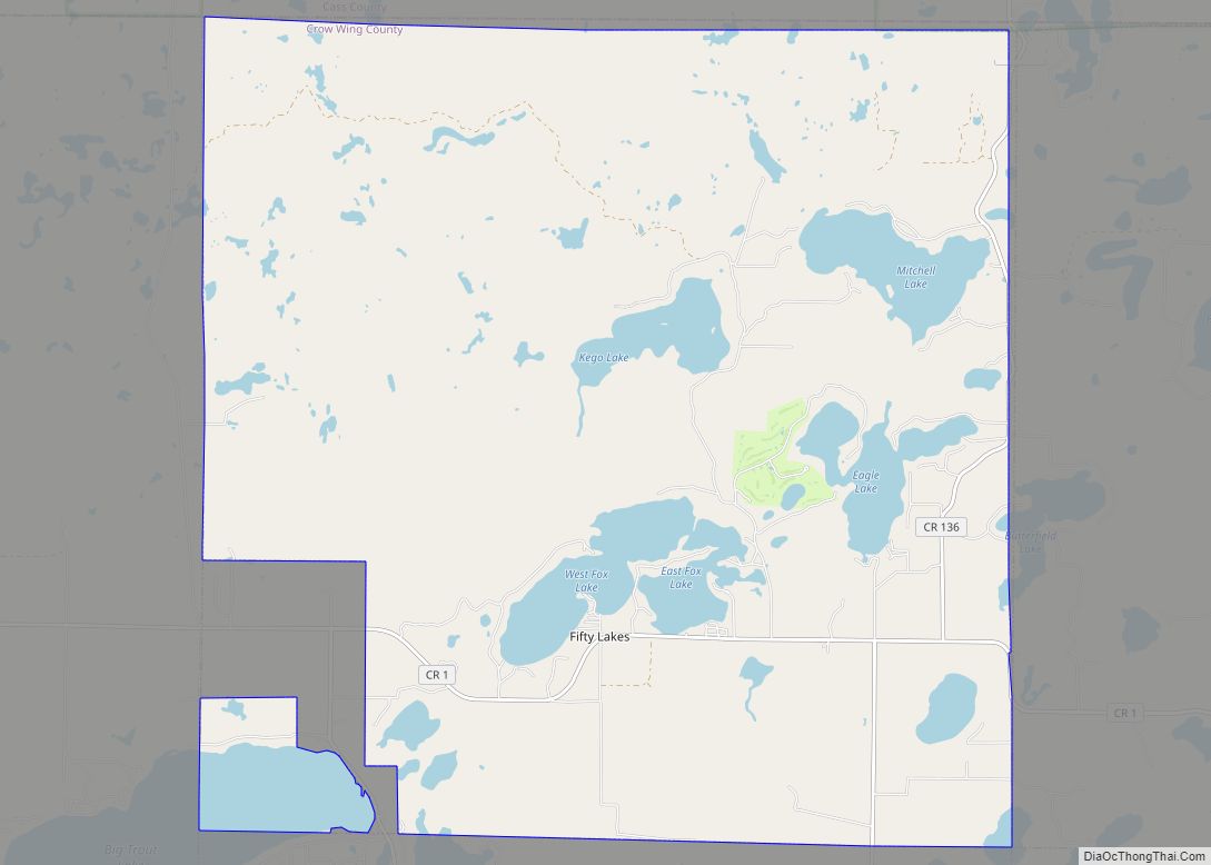
Pequot Lakes city Satellite Map

Geography
According to the United States Census Bureau, the city has a total area of 18.15 square miles (47.01 km), of which 16.43 square miles (42.55 km) is land and 1.81 square miles (4.69 km) is water.
Pequot Lakes is part of the Brainerd Lakes Area.
Most of the current area of Pequot Lakes was gained through an annexation of the entirety of the surrounding former Sibley Township on June 4, 2002.
See also
Map of Minnesota State and its subdivision:- Aitkin
- Anoka
- Becker
- Beltrami
- Benton
- Big Stone
- Blue Earth
- Brown
- Carlton
- Carver
- Cass
- Chippewa
- Chisago
- Clay
- Clearwater
- Cook
- Cottonwood
- Crow Wing
- Dakota
- Dodge
- Douglas
- Faribault
- Fillmore
- Freeborn
- Goodhue
- Grant
- Hennepin
- Houston
- Hubbard
- Isanti
- Itasca
- Jackson
- Kanabec
- Kandiyohi
- Kittson
- Koochiching
- Lac qui Parle
- Lake
- Lake of the Woods
- Lake Superior
- Le Sueur
- Lincoln
- Lyon
- Mahnomen
- Marshall
- Martin
- McLeod
- Meeker
- Mille Lacs
- Morrison
- Mower
- Murray
- Nicollet
- Nobles
- Norman
- Olmsted
- Otter Tail
- Pennington
- Pine
- Pipestone
- Polk
- Pope
- Ramsey
- Red Lake
- Redwood
- Renville
- Rice
- Rock
- Roseau
- Saint Louis
- Scott
- Sherburne
- Sibley
- Stearns
- Steele
- Stevens
- Swift
- Todd
- Traverse
- Wabasha
- Wadena
- Waseca
- Washington
- Watonwan
- Wilkin
- Winona
- Wright
- Yellow Medicine
- Alabama
- Alaska
- Arizona
- Arkansas
- California
- Colorado
- Connecticut
- Delaware
- District of Columbia
- Florida
- Georgia
- Hawaii
- Idaho
- Illinois
- Indiana
- Iowa
- Kansas
- Kentucky
- Louisiana
- Maine
- Maryland
- Massachusetts
- Michigan
- Minnesota
- Mississippi
- Missouri
- Montana
- Nebraska
- Nevada
- New Hampshire
- New Jersey
- New Mexico
- New York
- North Carolina
- North Dakota
- Ohio
- Oklahoma
- Oregon
- Pennsylvania
- Rhode Island
- South Carolina
- South Dakota
- Tennessee
- Texas
- Utah
- Vermont
- Virginia
- Washington
- West Virginia
- Wisconsin
- Wyoming