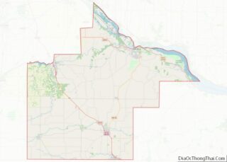
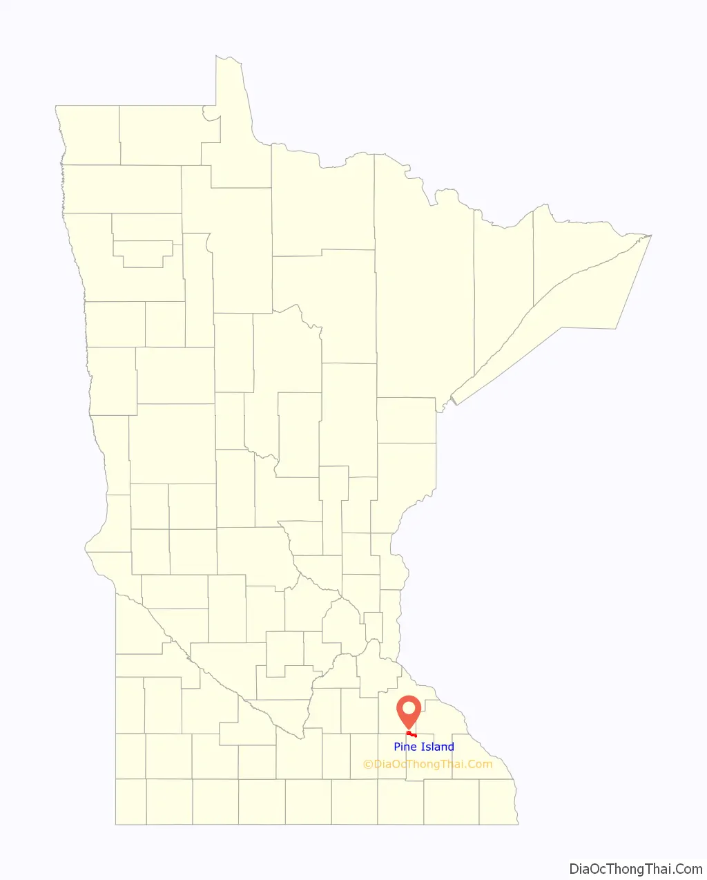
Pine Island is a small city of about 3,500 residents in Goodhue and Olmsted counties in the U.S. state of Minnesota. Most of Pine Island is in Goodhue County, but a small part extends into Olmsted County, making that portion part of the Rochester metropolitan area.
The community has a strong agricultural base, but has been transitioning over time into a bedroom community for nearby Rochester, which employs many local residents. Large development is planned for the Olmsted County side as it becomes a Rochester suburb, including the Elk Run Bioscience Park and Minnesota’s first diverging diamond interchange.
| Name: | Pine Island city |
|---|---|
| LSAD Code: | 25 |
| LSAD Description: | city (suffix) |
| State: | Minnesota |
| County: | Goodhue County, Olmsted County |
| Elevation: | 1,007 ft (307 m) |
| Total Area: | 6.02 sq mi (15.60 km²) |
| Land Area: | 5.99 sq mi (15.52 km²) |
| Water Area: | 0.03 sq mi (0.08 km²) |
| Total Population: | 3,769 |
| Population Density: | 629.11/sq mi (242.89/km²) |
| Area code: | 507 |
| FIPS code: | 2751136 |
| GNISfeature ID: | 0649465 |
| Website: | pineislandmn.com |
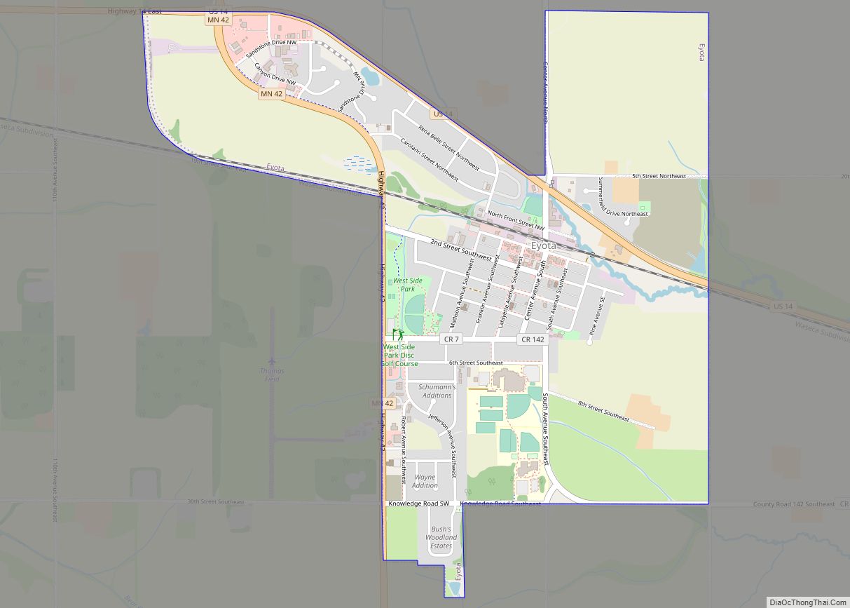
Online Interactive Map
Click on ![]() to view map in "full screen" mode.
to view map in "full screen" mode.
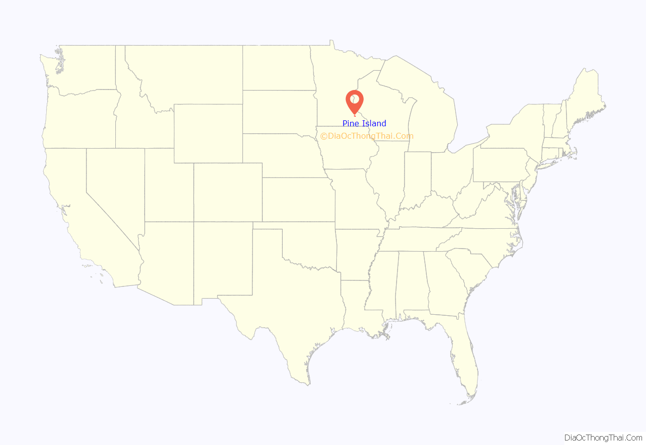
Pine Island location map. Where is Pine Island city?
History
Pine Island was platted in 1856. A post office has been in operation at Pine Island since 1856.
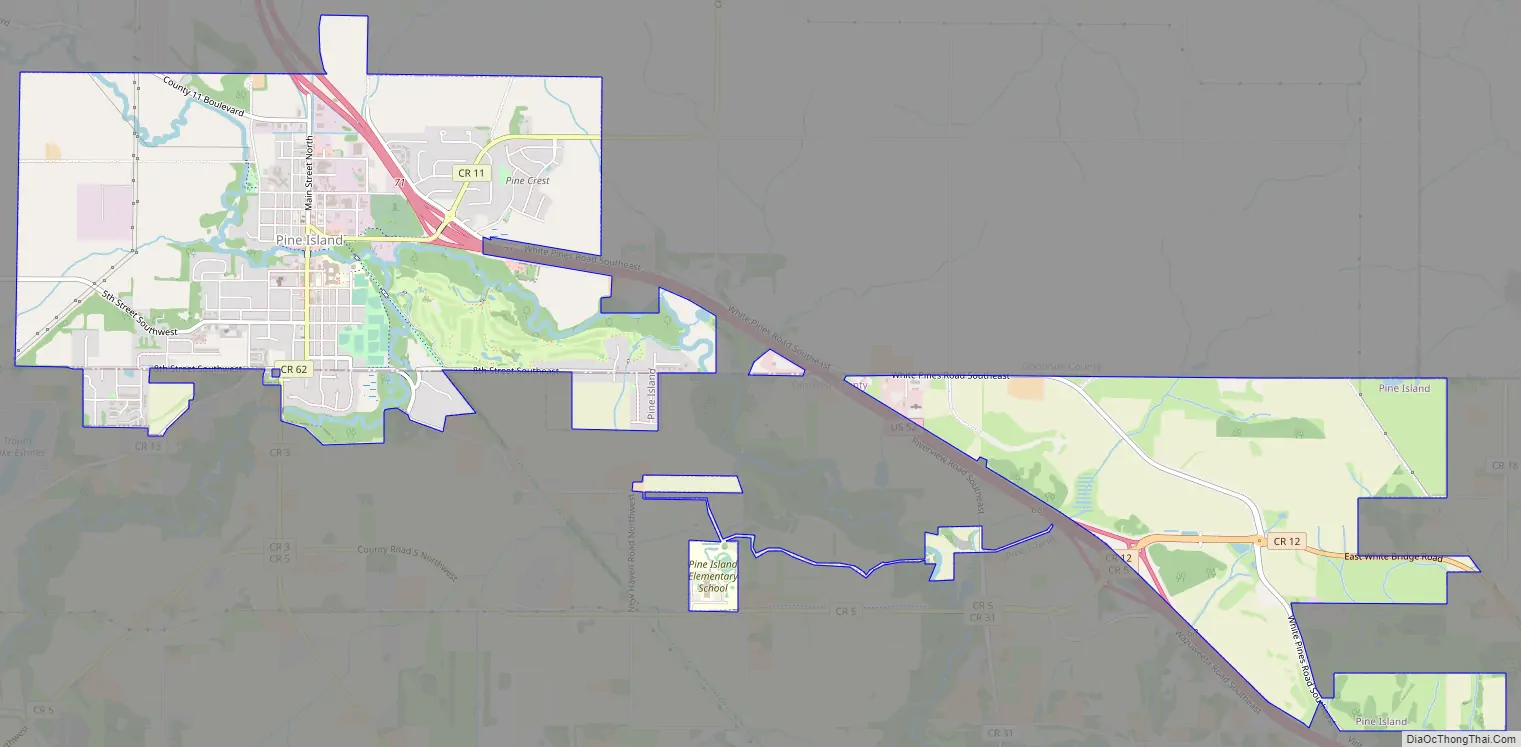
Pine Island Road Map
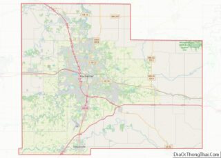
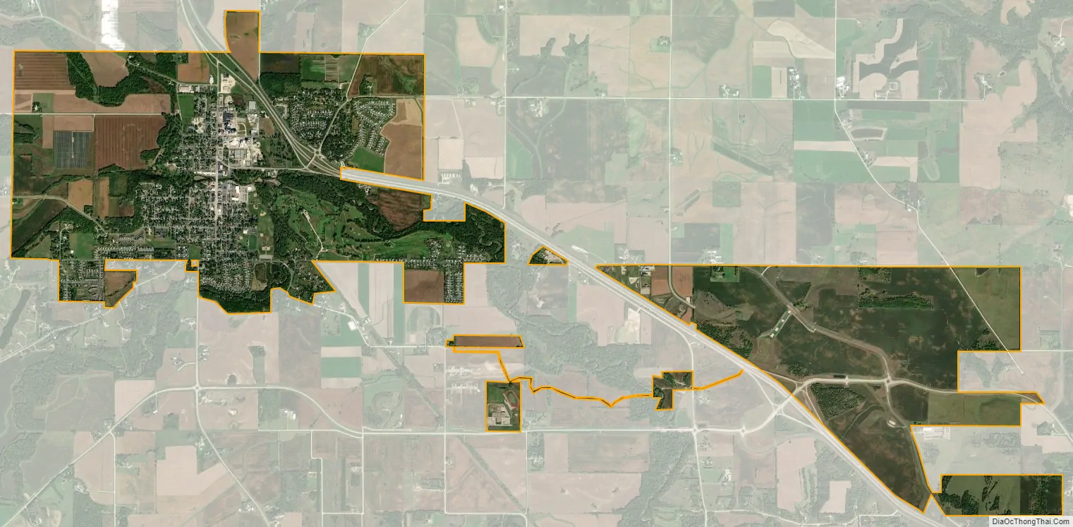
Pine Island city Satellite Map
Geography
Pine Island lies along the Middle Fork of the Zumbro River. According to the United States Census Bureau, the city has an area of 5.61 square miles (14.53 km), of which 5.59 square miles (14.48 km) is land and 0.02 square miles (0.05 km) is water.
U.S. Highway 52 serves as a main route in the community.
Climate
See also
Map of Minnesota State and its subdivision:- Aitkin
- Anoka
- Becker
- Beltrami
- Benton
- Big Stone
- Blue Earth
- Brown
- Carlton
- Carver
- Cass
- Chippewa
- Chisago
- Clay
- Clearwater
- Cook
- Cottonwood
- Crow Wing
- Dakota
- Dodge
- Douglas
- Faribault
- Fillmore
- Freeborn
- Goodhue
- Grant
- Hennepin
- Houston
- Hubbard
- Isanti
- Itasca
- Jackson
- Kanabec
- Kandiyohi
- Kittson
- Koochiching
- Lac qui Parle
- Lake
- Lake of the Woods
- Lake Superior
- Le Sueur
- Lincoln
- Lyon
- Mahnomen
- Marshall
- Martin
- McLeod
- Meeker
- Mille Lacs
- Morrison
- Mower
- Murray
- Nicollet
- Nobles
- Norman
- Olmsted
- Otter Tail
- Pennington
- Pine
- Pipestone
- Polk
- Pope
- Ramsey
- Red Lake
- Redwood
- Renville
- Rice
- Rock
- Roseau
- Saint Louis
- Scott
- Sherburne
- Sibley
- Stearns
- Steele
- Stevens
- Swift
- Todd
- Traverse
- Wabasha
- Wadena
- Waseca
- Washington
- Watonwan
- Wilkin
- Winona
- Wright
- Yellow Medicine
- Alabama
- Alaska
- Arizona
- Arkansas
- California
- Colorado
- Connecticut
- Delaware
- District of Columbia
- Florida
- Georgia
- Hawaii
- Idaho
- Illinois
- Indiana
- Iowa
- Kansas
- Kentucky
- Louisiana
- Maine
- Maryland
- Massachusetts
- Michigan
- Minnesota
- Mississippi
- Missouri
- Montana
- Nebraska
- Nevada
- New Hampshire
- New Jersey
- New Mexico
- New York
- North Carolina
- North Dakota
- Ohio
- Oklahoma
- Oregon
- Pennsylvania
- Rhode Island
- South Carolina
- South Dakota
- Tennessee
- Texas
- Utah
- Vermont
- Virginia
- Washington
- West Virginia
- Wisconsin
- Wyoming