Proctor is a city in Saint Louis County, Minnesota, United States. The population was 3,120 at the 2020 census. The city was established as Proctorknott in 1894, with the name coming from former Kentucky Governor J. Proctor Knott. Knott was famous for delivering the speech The Untold Delights of Duluth to the U.S. House of Representatives. The city’s name was shortened to Proctor in 1904.
Proctor’s welcome sign on U.S. Highway 2 reads: “You Have a Place in Proctor”.
| Name: | Proctor city |
|---|---|
| LSAD Code: | 25 |
| LSAD Description: | city (suffix) |
| State: | Minnesota |
| County: | St. Louis County |
| Elevation: | 1,247 ft (380 m) |
| Total Area: | 3.36 sq mi (8.71 km²) |
| Land Area: | 3.36 sq mi (8.71 km²) |
| Water Area: | 0.00 sq mi (0.00 km²) |
| Total Population: | 3,120 |
| Population Density: | 928.30/sq mi (358.39/km²) |
| ZIP code: | 55810 |
| Area code: | 218 |
| FIPS code: | 2752630 |
| GNISfeature ID: | 0662232 |
| Website: | www.ci.proctor.mn.us |
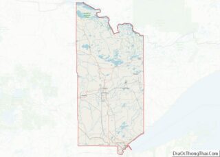
Online Interactive Map
Click on ![]() to view map in "full screen" mode.
to view map in "full screen" mode.
Proctor location map. Where is Proctor city?
Proctor Road Map
Proctor city Satellite Map
Geography
According to the United States Census Bureau, the city has an area of 3.00 square miles (7.77 km), all land.
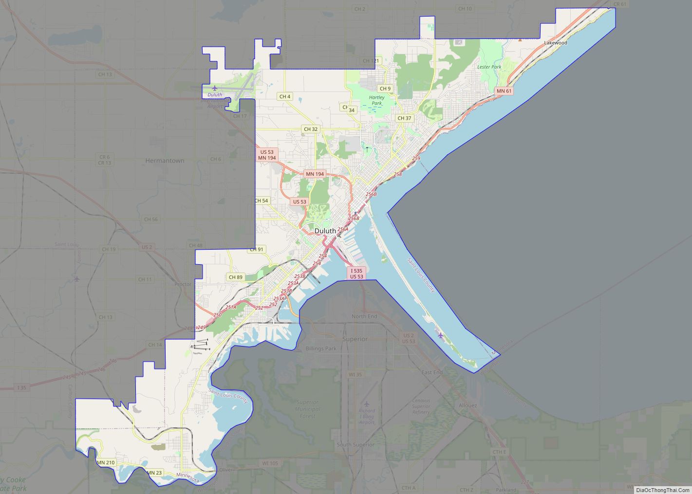
U.S. Highway 2 and County Road 14 (Boundary Avenue) are two of the main routes in Proctor. Interstate Highway 35 is in close proximity to the city. Other main routes in Proctor include 2nd Street, 2nd Avenue (Lavaque Road), and 5th Street.
Proctor is beside Duluth‘s Bayview Heights neighborhood, with which it forms something of a contiguous community unit due to Bayview Heights’ topographical separation (the hill) from adjacent West Duluth. It is bounded by the city of Hermantown to the north, Midway Township to the west, Bayview Heights to the east, and a mostly undeveloped area of Duluth (officially in the Riverside neighborhood) to the south.
Kingsbury Creek flows through the central Proctor. Knowlton Creek flows through the southeast Proctor.
See also
Map of Minnesota State and its subdivision:- Aitkin
- Anoka
- Becker
- Beltrami
- Benton
- Big Stone
- Blue Earth
- Brown
- Carlton
- Carver
- Cass
- Chippewa
- Chisago
- Clay
- Clearwater
- Cook
- Cottonwood
- Crow Wing
- Dakota
- Dodge
- Douglas
- Faribault
- Fillmore
- Freeborn
- Goodhue
- Grant
- Hennepin
- Houston
- Hubbard
- Isanti
- Itasca
- Jackson
- Kanabec
- Kandiyohi
- Kittson
- Koochiching
- Lac qui Parle
- Lake
- Lake of the Woods
- Lake Superior
- Le Sueur
- Lincoln
- Lyon
- Mahnomen
- Marshall
- Martin
- McLeod
- Meeker
- Mille Lacs
- Morrison
- Mower
- Murray
- Nicollet
- Nobles
- Norman
- Olmsted
- Otter Tail
- Pennington
- Pine
- Pipestone
- Polk
- Pope
- Ramsey
- Red Lake
- Redwood
- Renville
- Rice
- Rock
- Roseau
- Saint Louis
- Scott
- Sherburne
- Sibley
- Stearns
- Steele
- Stevens
- Swift
- Todd
- Traverse
- Wabasha
- Wadena
- Waseca
- Washington
- Watonwan
- Wilkin
- Winona
- Wright
- Yellow Medicine
- Alabama
- Alaska
- Arizona
- Arkansas
- California
- Colorado
- Connecticut
- Delaware
- District of Columbia
- Florida
- Georgia
- Hawaii
- Idaho
- Illinois
- Indiana
- Iowa
- Kansas
- Kentucky
- Louisiana
- Maine
- Maryland
- Massachusetts
- Michigan
- Minnesota
- Mississippi
- Missouri
- Montana
- Nebraska
- Nevada
- New Hampshire
- New Jersey
- New Mexico
- New York
- North Carolina
- North Dakota
- Ohio
- Oklahoma
- Oregon
- Pennsylvania
- Rhode Island
- South Carolina
- South Dakota
- Tennessee
- Texas
- Utah
- Vermont
- Virginia
- Washington
- West Virginia
- Wisconsin
- Wyoming


