Randall is a city in Morrison County, Minnesota, United States. The population was 607 at the 2020 census.
| Name: | Randall city |
|---|---|
| LSAD Code: | 25 |
| LSAD Description: | city (suffix) |
| State: | Minnesota |
| County: | Morrison County |
| Elevation: | 1,191 ft (363 m) |
| Total Area: | 2.00 sq mi (5.18 km²) |
| Land Area: | 2.00 sq mi (5.18 km²) |
| Water Area: | 0.00 sq mi (0.00 km²) |
| Population Density: | 303.65/sq mi (117.25/km²) |
| ZIP code: | 56475 |
| Area code: | 320 |
| FIPS code: | 2753080 |
| GNISfeature ID: | 0655054 |
Online Interactive Map
Click on ![]() to view map in "full screen" mode.
to view map in "full screen" mode.
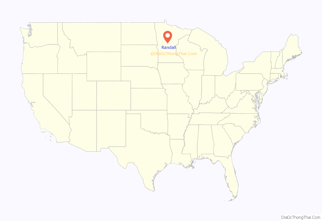
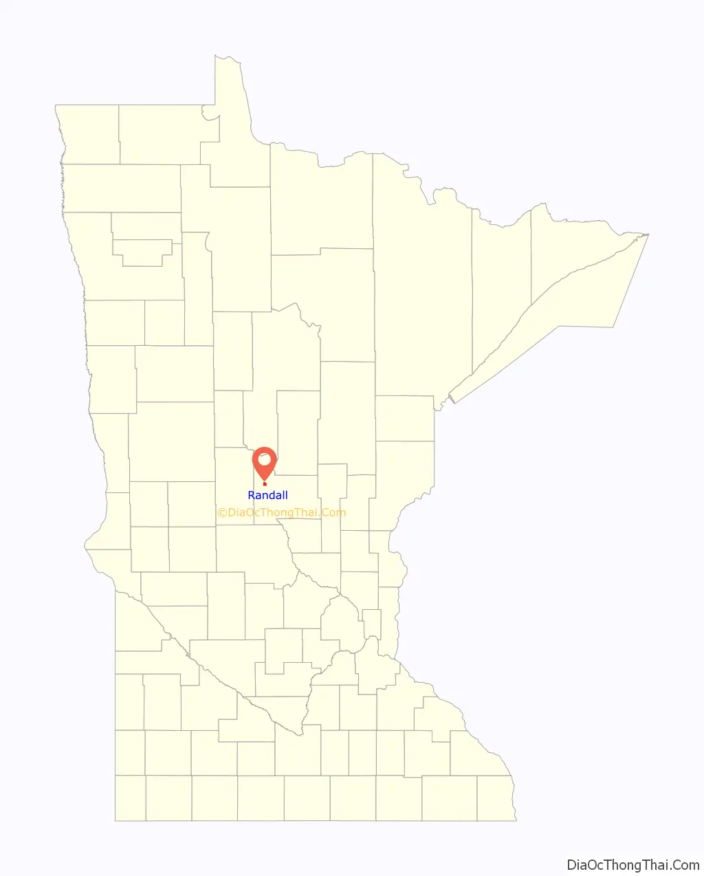
Randall location map. Where is Randall city?
History
Randall was platted in 1890 and named for John H. Randall, a railroad official. A post office has been in operation at Randall since 1889. Randall was incorporated in 1900.
The Great Flood of 1972
In the Great Flash Flood of July 21–22, 1972, the Little Elk overflowed its banks, flooding downtown Randall and making the area impassable to vehicle traffic for several weeks. Local citizens reported that Randall received over 13 inches (330 mm) of rain in a single day during the deluge. Official precipitation data for the town do not exist, but the National Weather Service station in nearby Fort Ripley received 10.84 inches (275 mm) of rain in 24 hours during the flood, the second-biggest one-day rainfall ever recorded in Minnesota (15.10 inches was officially recorded in Hokah, in southeast Minnesota, on August 18, 2007).
The damage from the deluge was exacerbated by its timing. The rain came just 12 days after a storm had dumped up to 7 inches (180 mm) of rain in the region, setting off an outbreak of flash floods in communities west of town. With the exception of Interstate 35, every major highway in the northern half of the state was closed from Alexandria to Wisconsin.
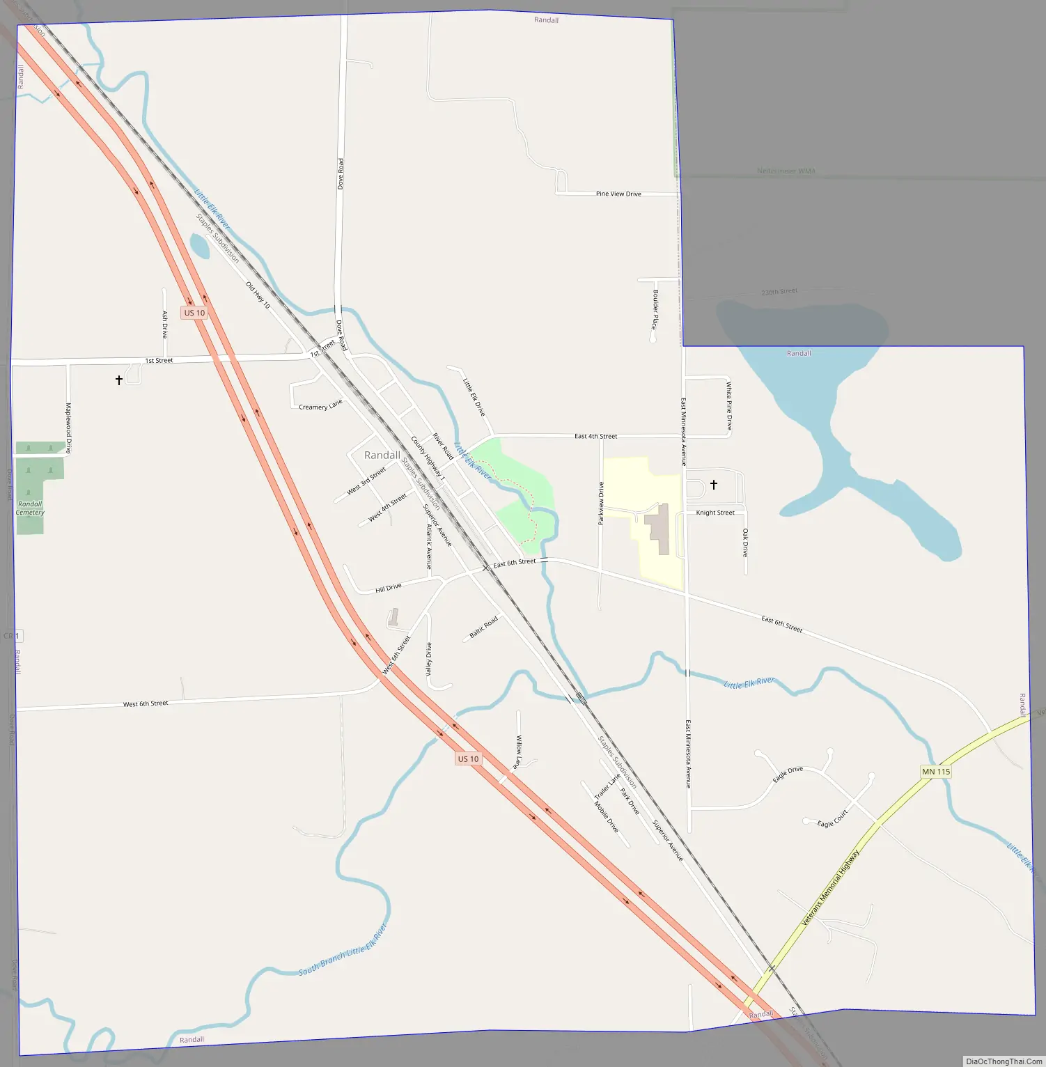
Randall Road Map
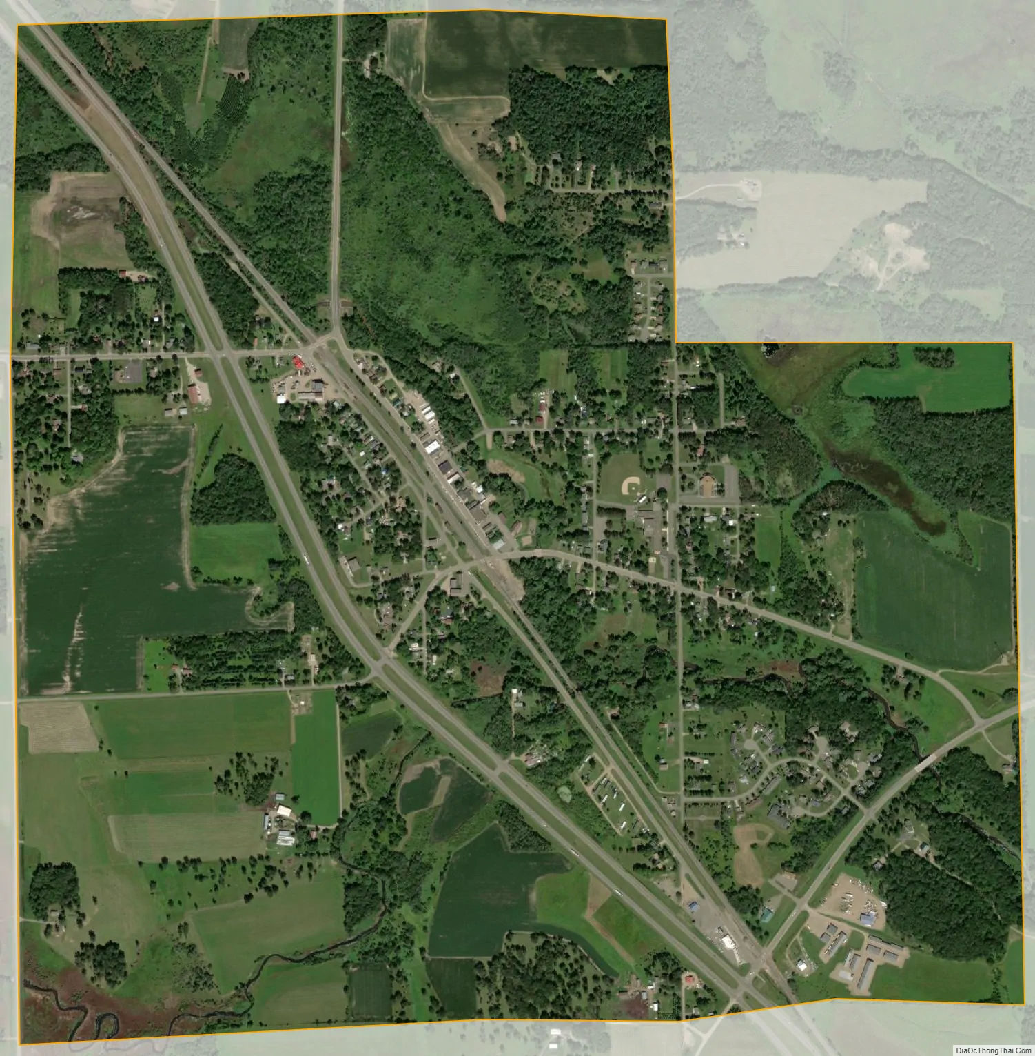
Randall city Satellite Map
Geography
According to the United States Census Bureau, the city has an area of 2.05 square miles (5.31 km), all land.
Randall is on the banks of the Little Elk River, approximately 5 miles (8.0 km) from its confluence with the Mississippi River. The area of rolling hills and wide river valleys is at the southwestern edge of the Brainerd Lakes area. The largest lake in the area, Lake Alexander, is known for its clear water and excellent fishing. Numerous smaller lakes in the area, including Little Round Lake, Green Prairie Fish Lake, Fish Trap Lake, Round Lake, and Lake Shamineau, provide abundant recreation opportunities year-round.
U.S. Highway 10 and Minnesota State Highway 115 are two of the main routes in the community.
See also
Map of Minnesota State and its subdivision:- Aitkin
- Anoka
- Becker
- Beltrami
- Benton
- Big Stone
- Blue Earth
- Brown
- Carlton
- Carver
- Cass
- Chippewa
- Chisago
- Clay
- Clearwater
- Cook
- Cottonwood
- Crow Wing
- Dakota
- Dodge
- Douglas
- Faribault
- Fillmore
- Freeborn
- Goodhue
- Grant
- Hennepin
- Houston
- Hubbard
- Isanti
- Itasca
- Jackson
- Kanabec
- Kandiyohi
- Kittson
- Koochiching
- Lac qui Parle
- Lake
- Lake of the Woods
- Lake Superior
- Le Sueur
- Lincoln
- Lyon
- Mahnomen
- Marshall
- Martin
- McLeod
- Meeker
- Mille Lacs
- Morrison
- Mower
- Murray
- Nicollet
- Nobles
- Norman
- Olmsted
- Otter Tail
- Pennington
- Pine
- Pipestone
- Polk
- Pope
- Ramsey
- Red Lake
- Redwood
- Renville
- Rice
- Rock
- Roseau
- Saint Louis
- Scott
- Sherburne
- Sibley
- Stearns
- Steele
- Stevens
- Swift
- Todd
- Traverse
- Wabasha
- Wadena
- Waseca
- Washington
- Watonwan
- Wilkin
- Winona
- Wright
- Yellow Medicine
- Alabama
- Alaska
- Arizona
- Arkansas
- California
- Colorado
- Connecticut
- Delaware
- District of Columbia
- Florida
- Georgia
- Hawaii
- Idaho
- Illinois
- Indiana
- Iowa
- Kansas
- Kentucky
- Louisiana
- Maine
- Maryland
- Massachusetts
- Michigan
- Minnesota
- Mississippi
- Missouri
- Montana
- Nebraska
- Nevada
- New Hampshire
- New Jersey
- New Mexico
- New York
- North Carolina
- North Dakota
- Ohio
- Oklahoma
- Oregon
- Pennsylvania
- Rhode Island
- South Carolina
- South Dakota
- Tennessee
- Texas
- Utah
- Vermont
- Virginia
- Washington
- West Virginia
- Wisconsin
- Wyoming


