Rutledge is a city in Pine County, Minnesota, United States, at the confluence of the Kettle and Pine Rivers. The population was 229 at the 2010 census.
Pine County 61 serves as a main route in the community. The Willard Munger Bicycle / Snowmobile Trail also passes through Rutledge.
| Name: | Rutledge city |
|---|---|
| LSAD Code: | 25 |
| LSAD Description: | city (suffix) |
| State: | Minnesota |
| County: | Pine County |
| Incorporated: | February 17, 1893 |
| Elevation: | 1,030 ft (310 m) |
| Total Area: | 3.02 sq mi (7.81 km²) |
| Land Area: | 2.95 sq mi (7.63 km²) |
| Water Area: | 0.07 sq mi (0.18 km²) |
| Total Population: | 212 |
| Population Density: | 71.96/sq mi (27.78/km²) |
| ZIP code: | 55795 (North of Pine River) 55735(South of Pine River) |
| Area code: | 218 (North of Pine River)#&320 (South of Pine River) |
| FIPS code: | 2756518 |
| GNISfeature ID: | 2396462 |
Online Interactive Map
Click on ![]() to view map in "full screen" mode.
to view map in "full screen" mode.
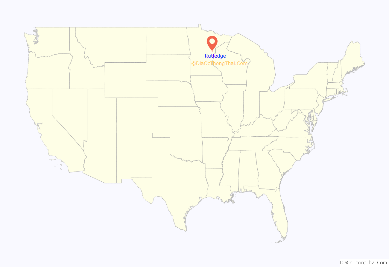
Rutledge location map. Where is Rutledge city?
History
Long before it ever became an incorporated village, a group of Native Indians lived along the banks of the Kettle River from where the community is today to a point about five miles downstream. The Government Road, a.k.a. Military Road, between St. Paul, Minnesota and Superior, Wisconsin passed through that area in the 1860s. A bridge was constructed across the Kettle River at what was called the Rock Dam. On the south side of the river, a station was built, at which stagecoaches stopped to change horses and allow passengers to get out and stretch their legs and have a lunch. It was at this location where the first Europeans settled. In 1870, the Lake Superior and Mississippi Railroad was completed in this region. A depot was built about two and one half miles upstream from the Rock Dam, named Kettle River Station. The community began to grow near the railroad station. On February 14, 1893, an election was held at the school house to decide whether the settlement should be incorporated as a village. A total of 22 votes were cast, 19 favoring incorporation. The Village of Rutledge was named after local lumberman Edward Rutledge, who had built several mills in the area. James D. McCormack served as the first Mayor of Rutledge.
Rutledge Road Map
Rutledge city Satellite Map
Geography
According to the United States Census Bureau, the city has a total area of 3.03 square miles (7.85 km), of which 2.96 square miles (7.67 km) is land and 0.07 square miles (0.18 km) is water.
See also
Map of Minnesota State and its subdivision:- Aitkin
- Anoka
- Becker
- Beltrami
- Benton
- Big Stone
- Blue Earth
- Brown
- Carlton
- Carver
- Cass
- Chippewa
- Chisago
- Clay
- Clearwater
- Cook
- Cottonwood
- Crow Wing
- Dakota
- Dodge
- Douglas
- Faribault
- Fillmore
- Freeborn
- Goodhue
- Grant
- Hennepin
- Houston
- Hubbard
- Isanti
- Itasca
- Jackson
- Kanabec
- Kandiyohi
- Kittson
- Koochiching
- Lac qui Parle
- Lake
- Lake of the Woods
- Lake Superior
- Le Sueur
- Lincoln
- Lyon
- Mahnomen
- Marshall
- Martin
- McLeod
- Meeker
- Mille Lacs
- Morrison
- Mower
- Murray
- Nicollet
- Nobles
- Norman
- Olmsted
- Otter Tail
- Pennington
- Pine
- Pipestone
- Polk
- Pope
- Ramsey
- Red Lake
- Redwood
- Renville
- Rice
- Rock
- Roseau
- Saint Louis
- Scott
- Sherburne
- Sibley
- Stearns
- Steele
- Stevens
- Swift
- Todd
- Traverse
- Wabasha
- Wadena
- Waseca
- Washington
- Watonwan
- Wilkin
- Winona
- Wright
- Yellow Medicine
- Alabama
- Alaska
- Arizona
- Arkansas
- California
- Colorado
- Connecticut
- Delaware
- District of Columbia
- Florida
- Georgia
- Hawaii
- Idaho
- Illinois
- Indiana
- Iowa
- Kansas
- Kentucky
- Louisiana
- Maine
- Maryland
- Massachusetts
- Michigan
- Minnesota
- Mississippi
- Missouri
- Montana
- Nebraska
- Nevada
- New Hampshire
- New Jersey
- New Mexico
- New York
- North Carolina
- North Dakota
- Ohio
- Oklahoma
- Oregon
- Pennsylvania
- Rhode Island
- South Carolina
- South Dakota
- Tennessee
- Texas
- Utah
- Vermont
- Virginia
- Washington
- West Virginia
- Wisconsin
- Wyoming
