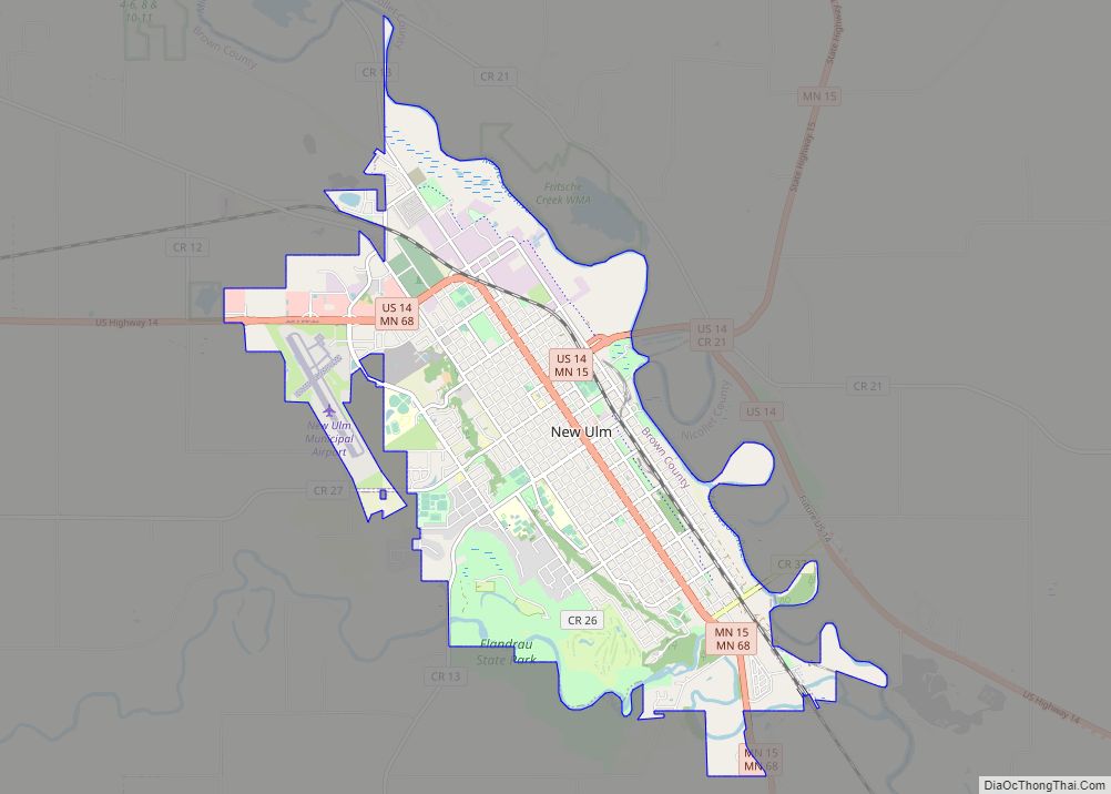
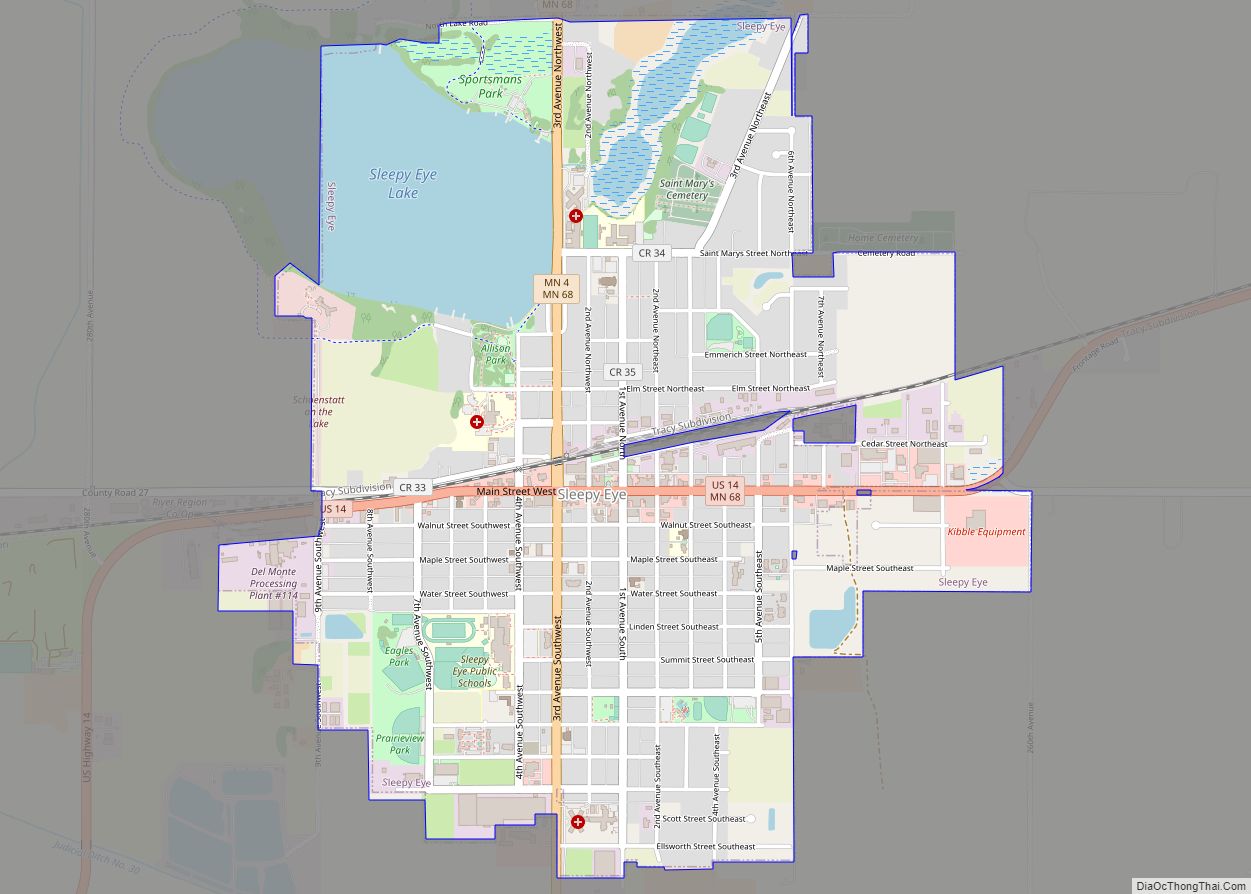
Sleepy Eye is a small city in rural Brown County, Minnesota, United States. The city is named after a famed local Dakota chief from the 1800s. The population was 3,599 at the 2010 census.
| Name: | Sleepy Eye city |
|---|---|
| LSAD Code: | 25 |
| LSAD Description: | city (suffix) |
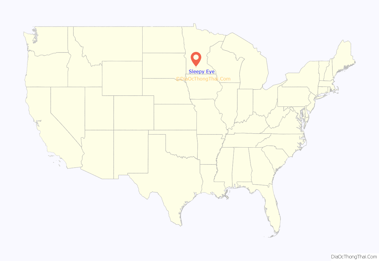
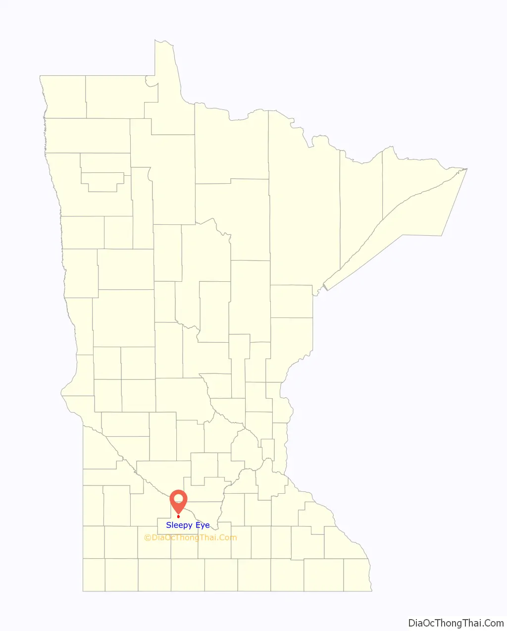
| State: | Minnesota |
| County: | Brown County |
| Elevation: | 1,024 ft (312 m) |
| Total Area: | 2.14 sq mi (5.54 km²) |
| Land Area: | 1.87 sq mi (4.85 km²) |
| Water Area: | 0.27 sq mi (0.69 km²) |
| Total Population: | 3,452 |
| Population Density: | 1,845.00/sq mi (712.35/km²) |
| ZIP code: | 56085 |
| Area code: | 507 |
| FIPS code: | 2760844 |
| GNISfeature ID: | 0652150 |
| Website: | www.sleepyeye-mn.com |
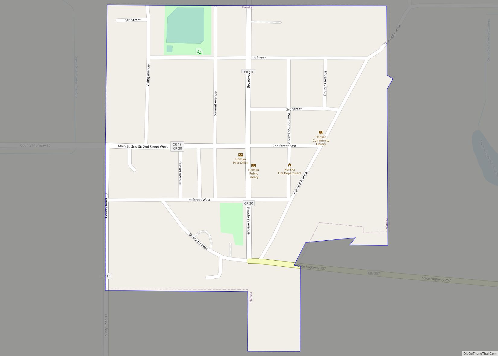
Online Interactive Map
Click on ![]() to view map in "full screen" mode.
to view map in "full screen" mode.
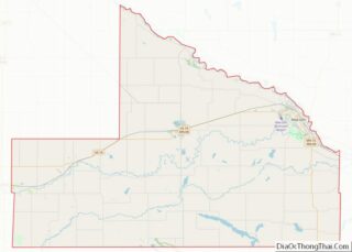
Sleepy Eye location map. Where is Sleepy Eye city?
History
Sleepy Eye took its name from Sleepy Eye Lake, which was named after Chief Sleepy Eye, who was known as a compassionate person with droopy eyelids (or maybe just one). The chief was one of four Sioux Native Americans (four Ojibwe also attended) chosen to meet President James Monroe in 1824 in the nation’s capital. Later, Sleepy Eye was an integral player in the 1851 signing of the Treaty of Traverse des Sioux, which gave all the land but a 10-mile swath on each side of the upper Minnesota River to the U.S. government. His recommendations to traders led to the successful settlement of Mankato, away from flood areas, and the chief eventually settled his people near the lake now known as Sleepy Eye Lake.
Sleepy Eye was platted in 1872 and incorporated as a city in 1903.
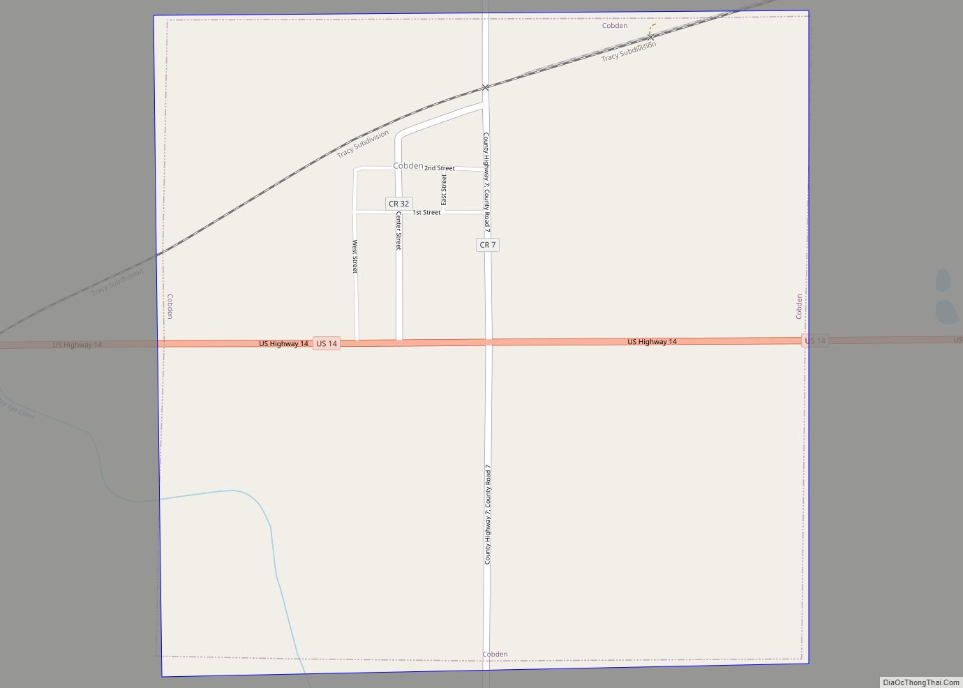
Sleepy Eye Road Map
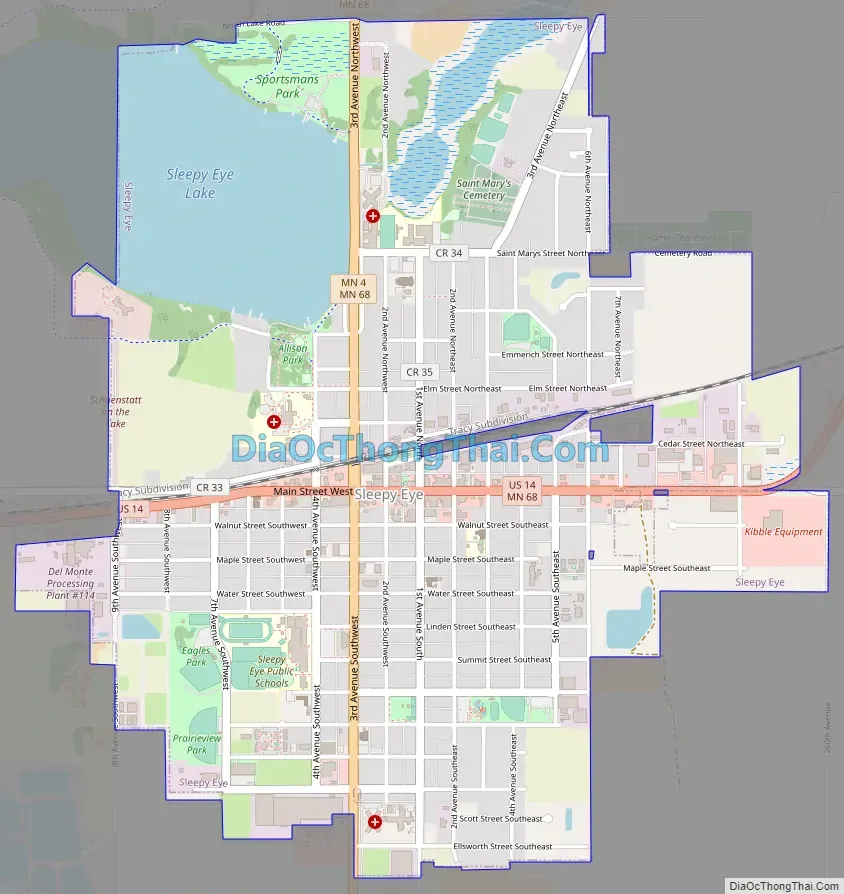
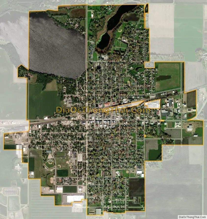
Sleepy Eye city Satellite Map
Geography
According to the United States Census Bureau, the city has an area of 2.02 square miles (5.23 km), of which 1.75 square miles (4.53 km) is land and 0.27 square miles (0.70 km) is water.
See also
Map of Minnesota State and its subdivision:- Aitkin
- Anoka
- Becker
- Beltrami
- Benton
- Big Stone
- Blue Earth
- Brown
- Carlton
- Carver
- Cass
- Chippewa
- Chisago
- Clay
- Clearwater
- Cook
- Cottonwood
- Crow Wing
- Dakota
- Dodge
- Douglas
- Faribault
- Fillmore
- Freeborn
- Goodhue
- Grant
- Hennepin
- Houston
- Hubbard
- Isanti
- Itasca
- Jackson
- Kanabec
- Kandiyohi
- Kittson
- Koochiching
- Lac qui Parle
- Lake
- Lake of the Woods
- Lake Superior
- Le Sueur
- Lincoln
- Lyon
- Mahnomen
- Marshall
- Martin
- McLeod
- Meeker
- Mille Lacs
- Morrison
- Mower
- Murray
- Nicollet
- Nobles
- Norman
- Olmsted
- Otter Tail
- Pennington
- Pine
- Pipestone
- Polk
- Pope
- Ramsey
- Red Lake
- Redwood
- Renville
- Rice
- Rock
- Roseau
- Saint Louis
- Scott
- Sherburne
- Sibley
- Stearns
- Steele
- Stevens
- Swift
- Todd
- Traverse
- Wabasha
- Wadena
- Waseca
- Washington
- Watonwan
- Wilkin
- Winona
- Wright
- Yellow Medicine
- Alabama
- Alaska
- Arizona
- Arkansas
- California
- Colorado
- Connecticut
- Delaware
- District of Columbia
- Florida
- Georgia
- Hawaii
- Idaho
- Illinois
- Indiana
- Iowa
- Kansas
- Kentucky
- Louisiana
- Maine
- Maryland
- Massachusetts
- Michigan
- Minnesota
- Mississippi
- Missouri
- Montana
- Nebraska
- Nevada
- New Hampshire
- New Jersey
- New Mexico
- New York
- North Carolina
- North Dakota
- Ohio
- Oklahoma
- Oregon
- Pennsylvania
- Rhode Island
- South Carolina
- South Dakota
- Tennessee
- Texas
- Utah
- Vermont
- Virginia
- Washington
- West Virginia
- Wisconsin
- Wyoming