Vernon Center is a city in Blue Earth County, Minnesota, United States, along the Blue Earth River. The population was 328 at the 2020 census. It is part of the Mankato–North Mankato Metropolitan Statistical Area.
| Name: | Vernon Center city |
|---|---|
| LSAD Code: | 25 |
| LSAD Description: | city (suffix) |
| State: | Minnesota |
| County: | Blue Earth County |
| Elevation: | 1,030 ft (314 m) |
| Total Area: | 0.50 sq mi (1.29 km²) |
| Land Area: | 0.49 sq mi (1.27 km²) |
| Water Area: | 0.01 sq mi (0.03 km²) |
| Total Population: | 328 |
| Population Density: | 670.76/sq mi (259.12/km²) |
| ZIP code: | 56090 |
| Area code: | 507 |
| FIPS code: | 2766910 |
| GNISfeature ID: | 0653640 |
Online Interactive Map
Click on ![]() to view map in "full screen" mode.
to view map in "full screen" mode.
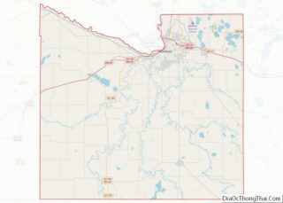
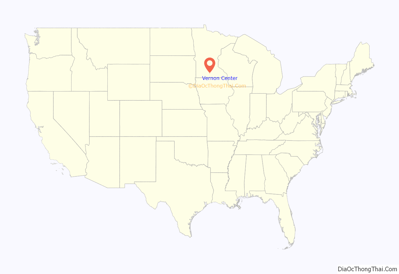
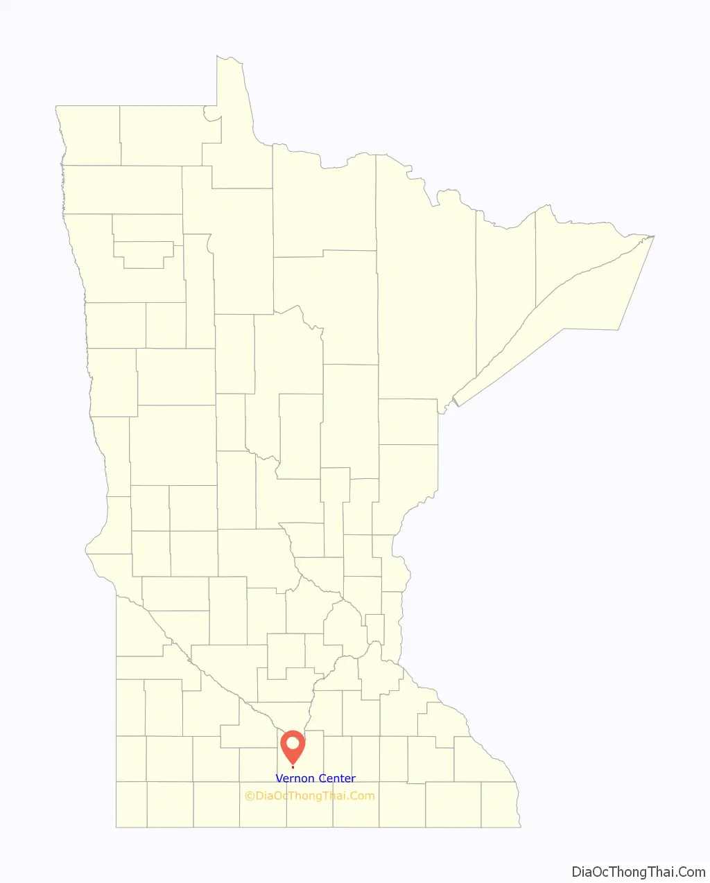
Vernon Center location map. Where is Vernon Center city?
History
Vernon Center was platted in 1857. It was named after Mount Vernon, the estate of George Washington.
On the morning of October 25, 2005, the grain elevator in downtown Vernon Center, filled with 200,000 bushels (5,000 metric tons) of corn, exploded, injuring six people. Flames from the explosion shot about 200 feet (61 meters) in the air.
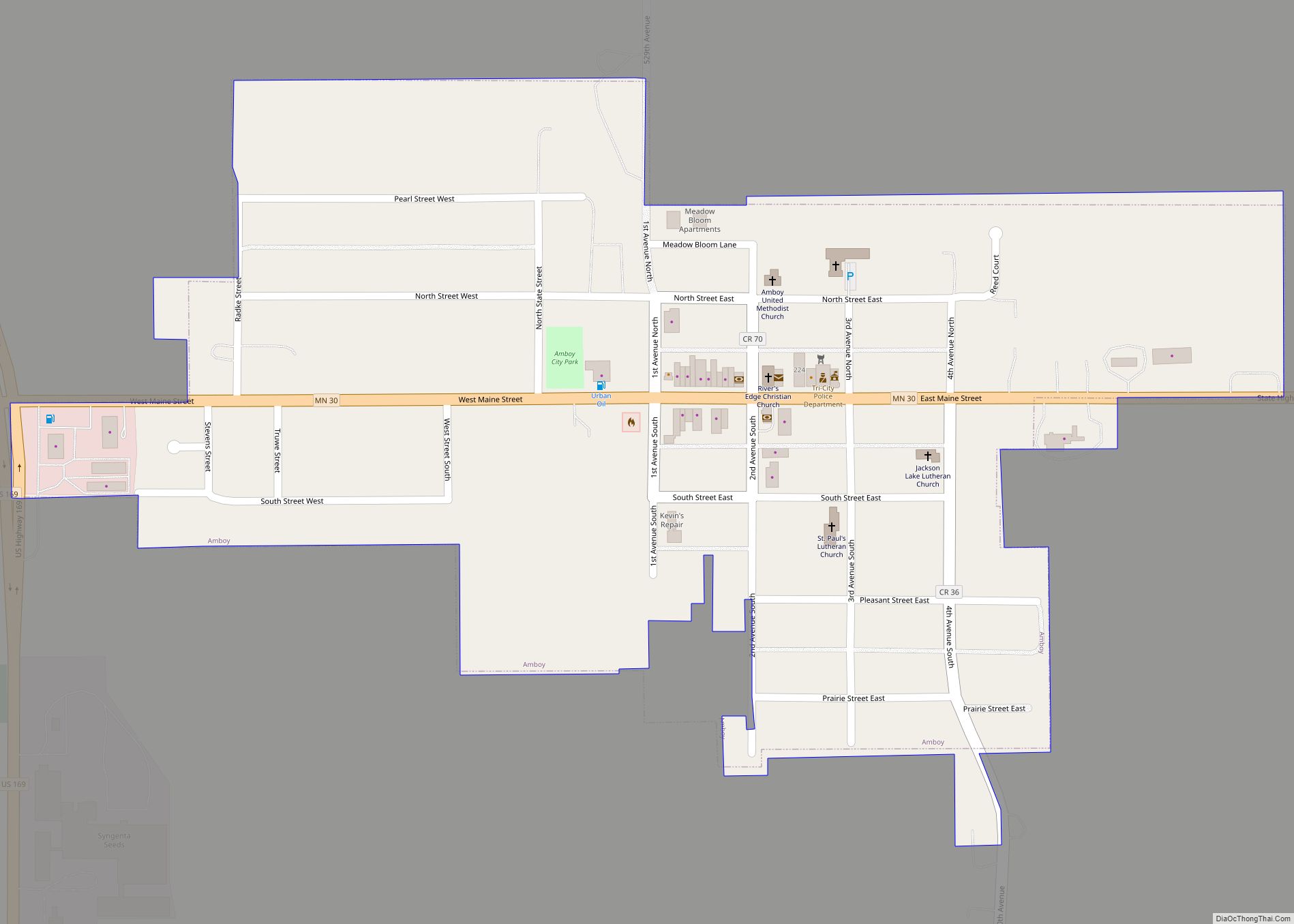
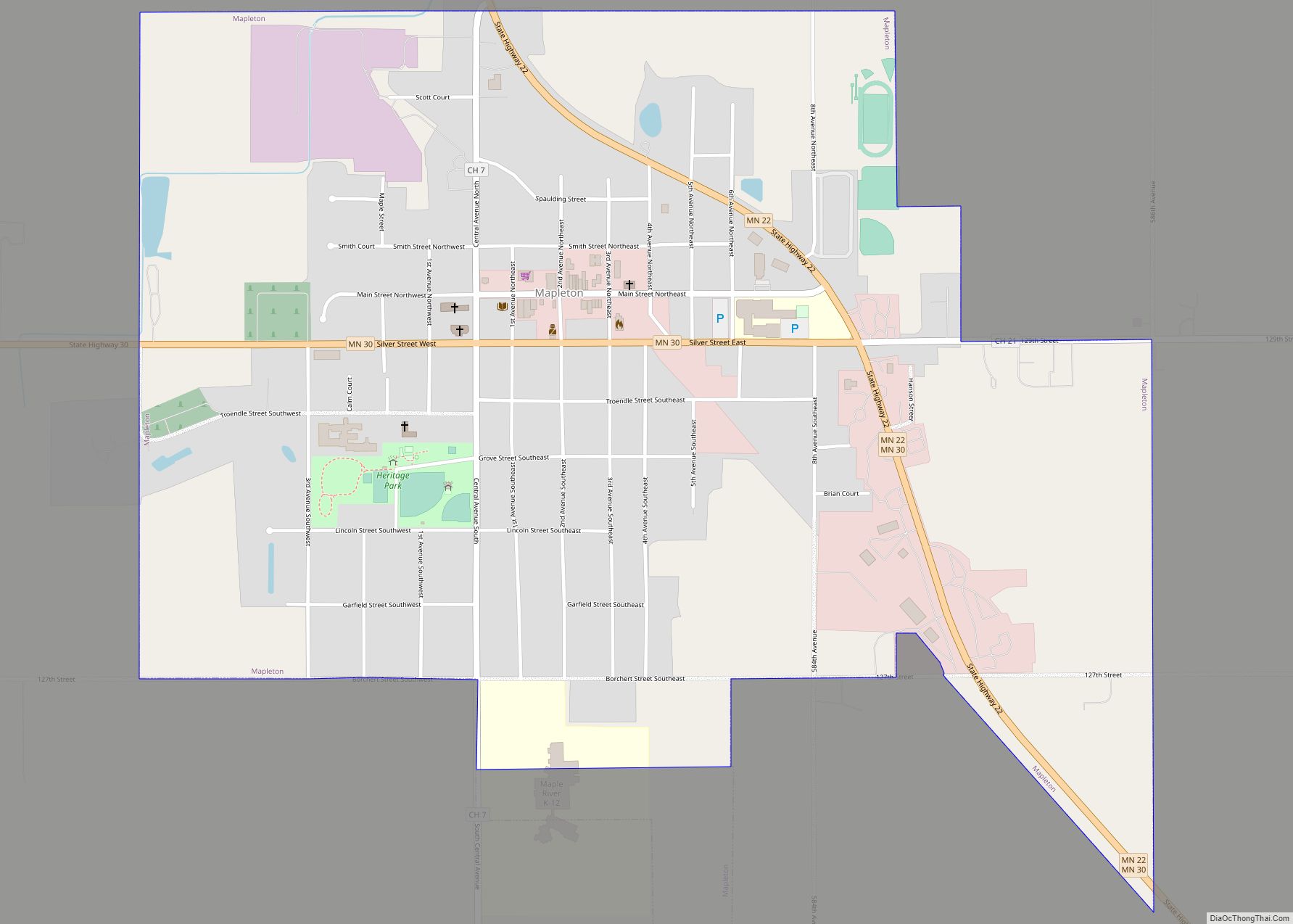
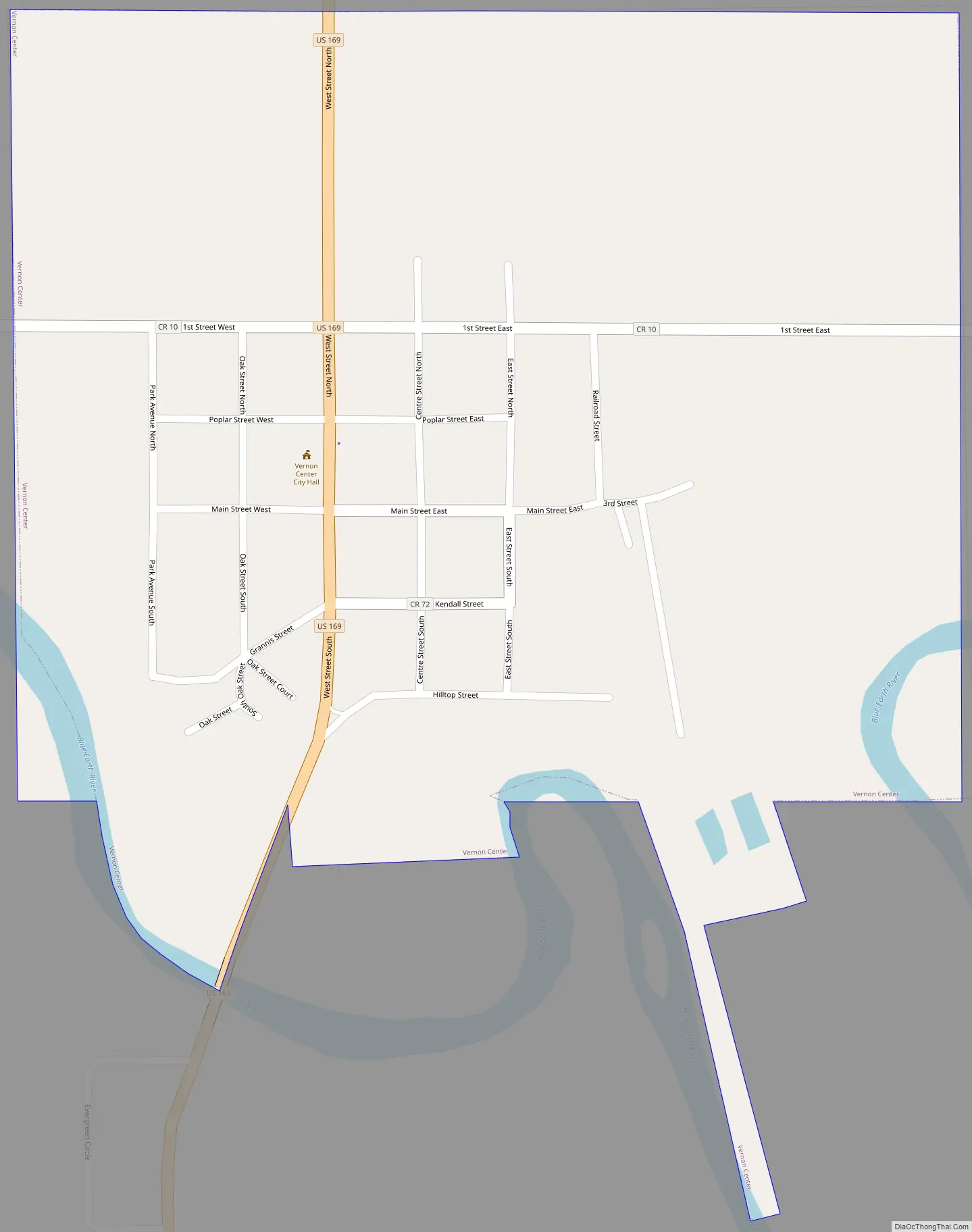
Vernon Center Road Map
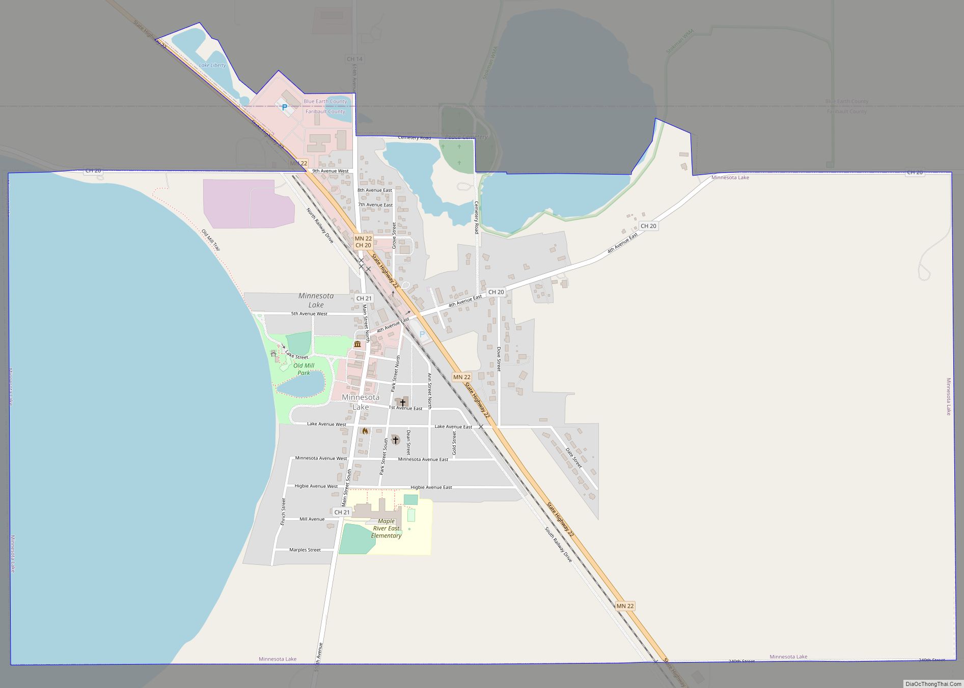
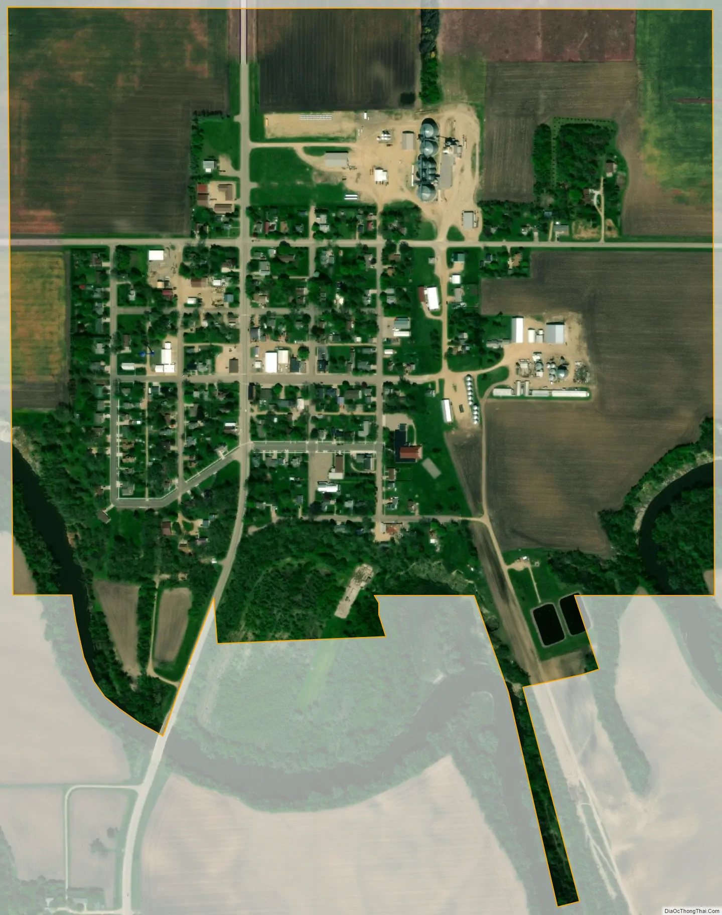
Vernon Center city Satellite Map
Geography
According to the United States Census Bureau, the city has an area of 0.50 square miles (1.29 km); 0.49 square miles (1.27 km) is land and the remainder water.
U.S. Route 169 serves as a main route in the community.
See also
Map of Minnesota State and its subdivision:- Aitkin
- Anoka
- Becker
- Beltrami
- Benton
- Big Stone
- Blue Earth
- Brown
- Carlton
- Carver
- Cass
- Chippewa
- Chisago
- Clay
- Clearwater
- Cook
- Cottonwood
- Crow Wing
- Dakota
- Dodge
- Douglas
- Faribault
- Fillmore
- Freeborn
- Goodhue
- Grant
- Hennepin
- Houston
- Hubbard
- Isanti
- Itasca
- Jackson
- Kanabec
- Kandiyohi
- Kittson
- Koochiching
- Lac qui Parle
- Lake
- Lake of the Woods
- Lake Superior
- Le Sueur
- Lincoln
- Lyon
- Mahnomen
- Marshall
- Martin
- McLeod
- Meeker
- Mille Lacs
- Morrison
- Mower
- Murray
- Nicollet
- Nobles
- Norman
- Olmsted
- Otter Tail
- Pennington
- Pine
- Pipestone
- Polk
- Pope
- Ramsey
- Red Lake
- Redwood
- Renville
- Rice
- Rock
- Roseau
- Saint Louis
- Scott
- Sherburne
- Sibley
- Stearns
- Steele
- Stevens
- Swift
- Todd
- Traverse
- Wabasha
- Wadena
- Waseca
- Washington
- Watonwan
- Wilkin
- Winona
- Wright
- Yellow Medicine
- Alabama
- Alaska
- Arizona
- Arkansas
- California
- Colorado
- Connecticut
- Delaware
- District of Columbia
- Florida
- Georgia
- Hawaii
- Idaho
- Illinois
- Indiana
- Iowa
- Kansas
- Kentucky
- Louisiana
- Maine
- Maryland
- Massachusetts
- Michigan
- Minnesota
- Mississippi
- Missouri
- Montana
- Nebraska
- Nevada
- New Hampshire
- New Jersey
- New Mexico
- New York
- North Carolina
- North Dakota
- Ohio
- Oklahoma
- Oregon
- Pennsylvania
- Rhode Island
- South Carolina
- South Dakota
- Tennessee
- Texas
- Utah
- Vermont
- Virginia
- Washington
- West Virginia
- Wisconsin
- Wyoming