Warroad is a city in Roseau County, Minnesota, United States, at the southwest corner of Lake of the Woods, 7.5 miles (12.1 km) south of Canada. The population was 1,781 at the 2010 census. Warroad had its own newspaper before it was incorporated in 1901.
Minnesota State Highways 11 and 313 are two of the city’s main routes.
| Name: | Warroad city |
|---|---|
| LSAD Code: | 25 |
| LSAD Description: | city (suffix) |
| State: | Minnesota |
| County: | Roseau County |
| Elevation: | 1,066 ft (325 m) |
| Total Area: | 3.38 sq mi (8.76 km²) |
| Land Area: | 3.27 sq mi (8.48 km²) |
| Water Area: | 0.11 sq mi (0.29 km²) |
| Total Population: | 1,830 |
| Population Density: | 559.12/sq mi (215.87/km²) |
| ZIP code: | 56763 |
| Area code: | 218 |
| FIPS code: | 2768224 |
| GNISfeature ID: | 0653790 |
| Website: | warroadmn.org |
Online Interactive Map
Click on ![]() to view map in "full screen" mode.
to view map in "full screen" mode.
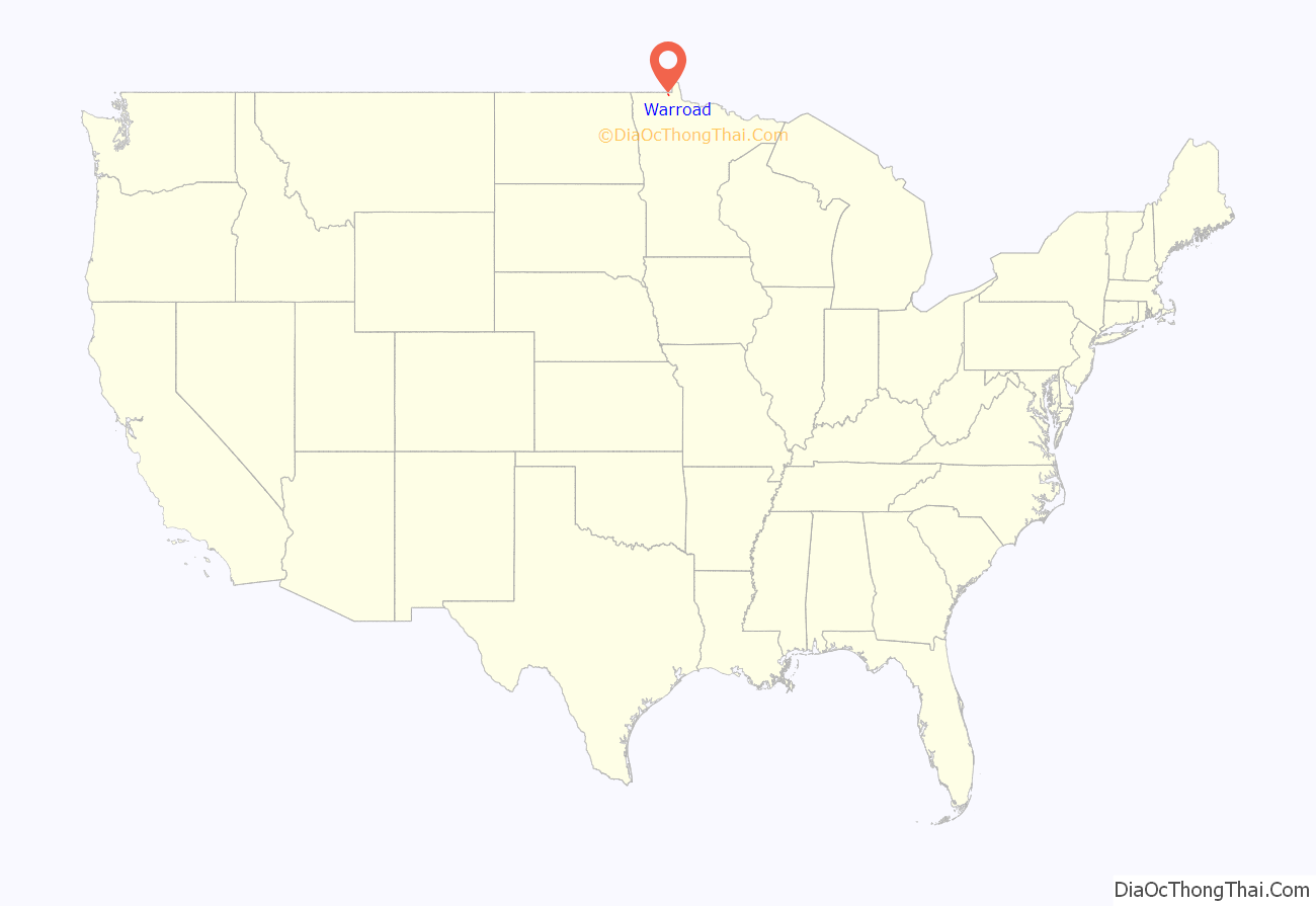
Warroad location map. Where is Warroad city?
History
Warroad was once one of the largest Ojibwe villages on Lake of the Woods. The Ojibwe fought a long and fierce war against the Sioux for the lake’s rice fields. Occupying the prairies of the Red River Valley, the Sioux often invaded the territory by way of the Red and Roseau Rivers, a route that ended at the mouth of the Warroad River. This was the old “war road” from which the river and village derive their name.
In the 20th century, the town had a strong commercial fishing industry, which gradually turned to sport fishing and tourism. For many years, commercial boats provided regular service to the islands and to Kenora, Ontario, at the north end of Lake of the Woods. Warroad is known for the great fishing on Lake of the Woods.
Warroad is also called “Hockeytown USA” for its strong hockey tradition. The Warroad High School program has earned four men’s state championship titles (’94, ’96, ’03, ’05) and four women’s (’10, ’11, ’22, ’23) over 20 years, and has produced NHL and Olympic players. No U.S. Hockey Olympic men’s team has won a gold medal without a player from Warroad. Another important piece of Warroad hockey history is the Warroad Lakers amateur team, which existed from 1947 to 1997.
Father Aulneau
Warroad is the site of St. Mary’s Church, also called the Father Aulneau Memorial Church, which commemorates a French Catholic priest who accompanied French explorers and soldiers in their search for the Northwest Passage and was killed along with several other people, presumably by Native Americans. The Aulneau Peninsula in Lake of the Woods is named after Father Aulneau.
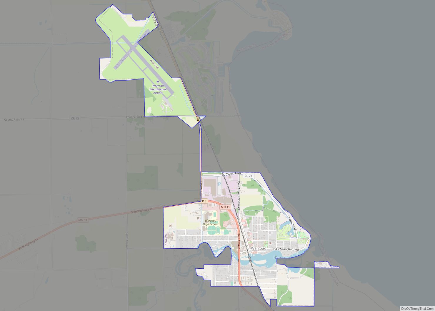
Warroad Road Map
Warroad city Satellite Map
Geography
Warroad is along the southwest shore of Lake of the Woods at Muskeg Bay, east of Roseau and west of Baudette. Warroad is 7.5 miles south of Canada. The Warroad River flows through town.
According to the United States Census Bureau, the city has an area of 2.90 square miles (7.51 km), of which 2.79 square miles (7.23 km) is land and 0.11 square miles (0.28 km) is water.
Climate
Warroad has a humid continental climate, moderately moist, in central North America but drier than those found in New England or Ontario Eastern (Dfb in the Koppen classification). It has one of the most rigorous winters in the contiguous United States, in which cold Arctic air can invade unobstructed and stay for up to a few weeks, and at its latitude, the hours of winter sunshine are relatively short, increasing the chill hours relative to other places of similar altitude. Summers are moderately hot to hot as air masses advance from the Gulf of Mexico, especially in July and August, although the average annual temperature is at 36.1 °F (2.3 °C) and 549 mm of precipitation annually, concentrated heavily in summer.
See also
Map of Minnesota State and its subdivision:- Aitkin
- Anoka
- Becker
- Beltrami
- Benton
- Big Stone
- Blue Earth
- Brown
- Carlton
- Carver
- Cass
- Chippewa
- Chisago
- Clay
- Clearwater
- Cook
- Cottonwood
- Crow Wing
- Dakota
- Dodge
- Douglas
- Faribault
- Fillmore
- Freeborn
- Goodhue
- Grant
- Hennepin
- Houston
- Hubbard
- Isanti
- Itasca
- Jackson
- Kanabec
- Kandiyohi
- Kittson
- Koochiching
- Lac qui Parle
- Lake
- Lake of the Woods
- Lake Superior
- Le Sueur
- Lincoln
- Lyon
- Mahnomen
- Marshall
- Martin
- McLeod
- Meeker
- Mille Lacs
- Morrison
- Mower
- Murray
- Nicollet
- Nobles
- Norman
- Olmsted
- Otter Tail
- Pennington
- Pine
- Pipestone
- Polk
- Pope
- Ramsey
- Red Lake
- Redwood
- Renville
- Rice
- Rock
- Roseau
- Saint Louis
- Scott
- Sherburne
- Sibley
- Stearns
- Steele
- Stevens
- Swift
- Todd
- Traverse
- Wabasha
- Wadena
- Waseca
- Washington
- Watonwan
- Wilkin
- Winona
- Wright
- Yellow Medicine
- Alabama
- Alaska
- Arizona
- Arkansas
- California
- Colorado
- Connecticut
- Delaware
- District of Columbia
- Florida
- Georgia
- Hawaii
- Idaho
- Illinois
- Indiana
- Iowa
- Kansas
- Kentucky
- Louisiana
- Maine
- Maryland
- Massachusetts
- Michigan
- Minnesota
- Mississippi
- Missouri
- Montana
- Nebraska
- Nevada
- New Hampshire
- New Jersey
- New Mexico
- New York
- North Carolina
- North Dakota
- Ohio
- Oklahoma
- Oregon
- Pennsylvania
- Rhode Island
- South Carolina
- South Dakota
- Tennessee
- Texas
- Utah
- Vermont
- Virginia
- Washington
- West Virginia
- Wisconsin
- Wyoming
