White Bear Lake is a city in Ramsey County in the state of Minnesota, United States. A small portion of the city also extends into Washington County. The population was 23,769 at the 2010 census. The city is located on White Bear Lake, one of the largest lakes in the Minneapolis–Saint Paul metropolitan area.
| Name: | White Bear Lake city |
|---|---|
| LSAD Code: | 25 |
| LSAD Description: | city (suffix) |
| State: | Minnesota |
| County: | Ramsey County, Washington County |
| Elevation: | 942 ft (287 m) |
| Total Area: | 8.63 sq mi (22.36 km²) |
| Land Area: | 8.04 sq mi (20.84 km²) |
| Water Area: | 0.59 sq mi (1.53 km²) |
| Total Population: | 24,883 |
| Population Density: | 3,092.98/sq mi (1,194.24/km²) |
| ZIP code: | 55110 |
| Area code: | 651 |
| FIPS code: | 2769970 |
| GNISfeature ID: | 2397299 |
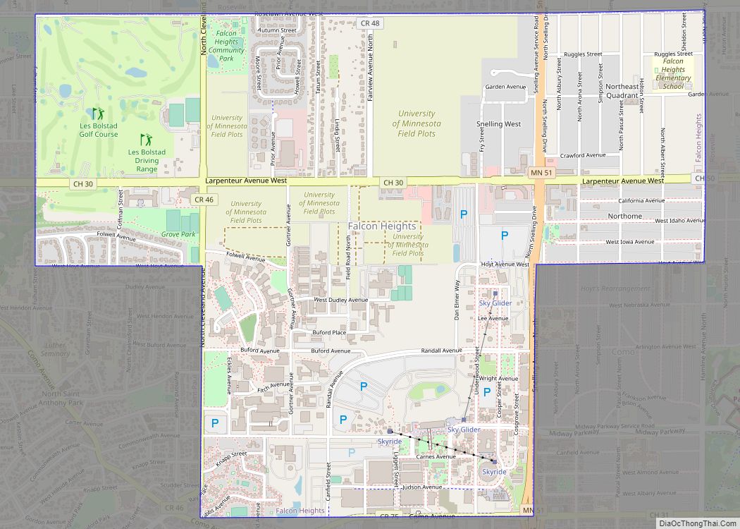
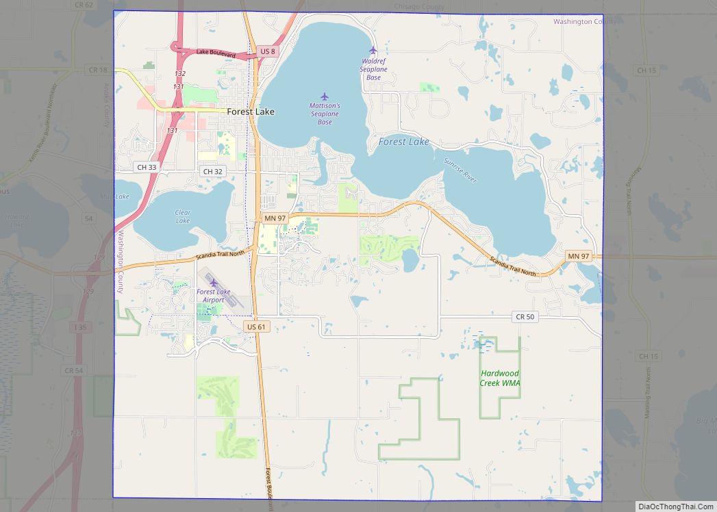
Online Interactive Map
Click on ![]() to view map in "full screen" mode.
to view map in "full screen" mode.
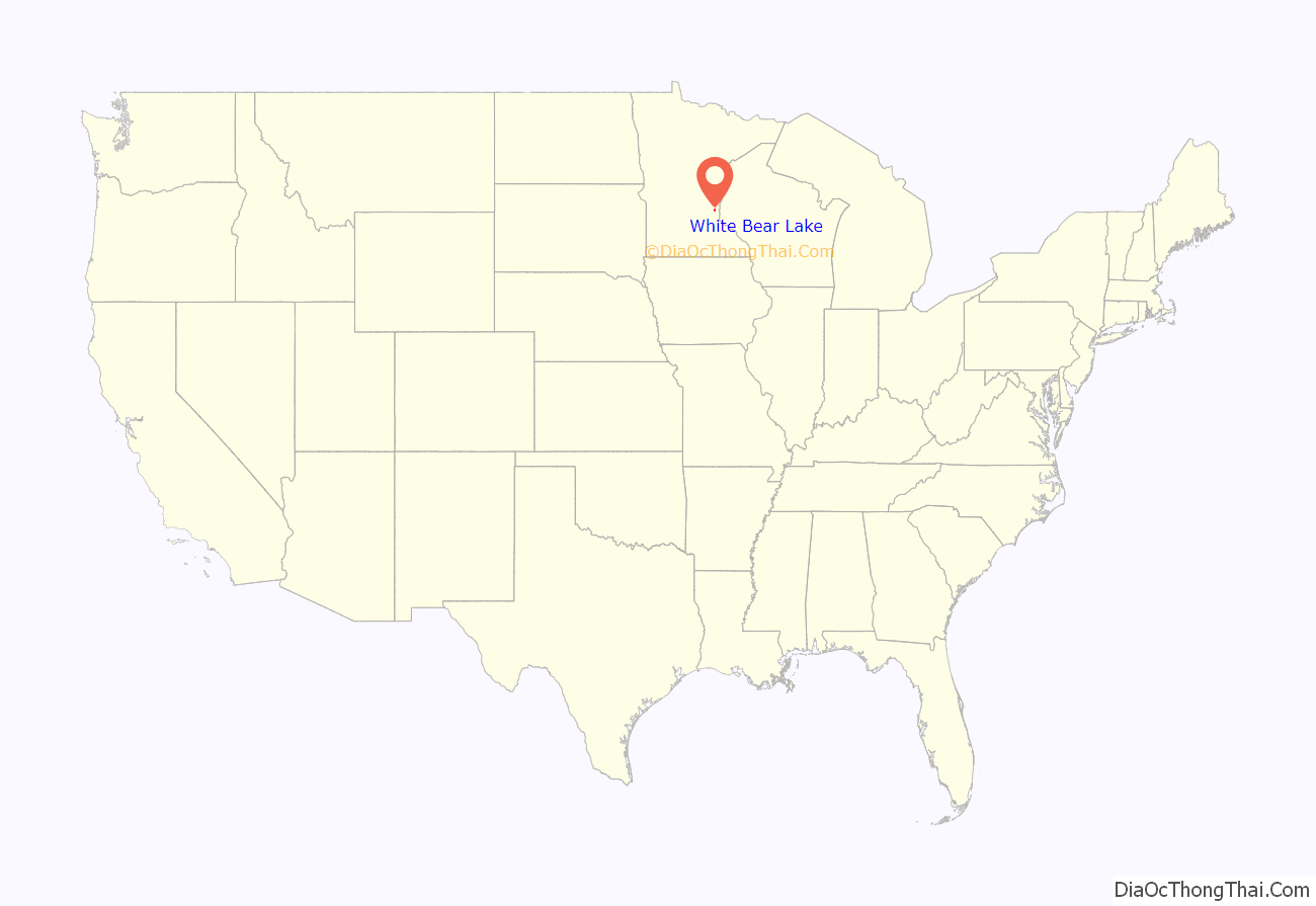
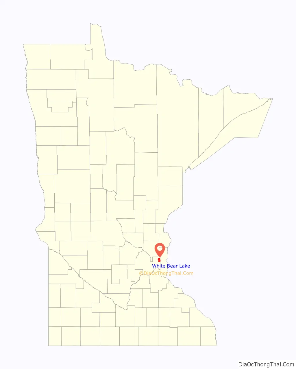
White Bear Lake location map. Where is White Bear Lake city?
History
The railroad was the largest man-made happening in White Bear Lake. On September 10, 1868, the Lake Superior and Mississippi Railroad officially opened the extension to White Bear Lake. This was a gala occasion. Ten platform cars of 300 men and four passenger cars for 200 ladies made the trip from St. Paul.
By 1874, Mark Twain had included White Bear Lake as the resort in his “Life on the Mississippi.” The “American Travelers Journal” 1881 proclaimed, “One of the most popular resorts in the magic northlands is White Bear Lake.” Barnum’s hotel became the Leip House, featuring a ballroom, billiard room, dancing pavilion, bowling alley, and boats. F.C. Williams opened the Williams House on the Murray property on Lake Avenue. James Waters opened the White Bear House at the depot. In 1879, the Ramaley Pavilion was opened and described as “perhaps the finest structure around the lake” (Breeze 1890). There was Lake Side Cottage on Lake north of 6th and “Château gay.” Shady Side, Bachelor’s Rest and Hotel Benson were three of the resorts at Bald Eagle Lake.
The Cottage Park summer residents built a club house in 1881 where they had their meals, entertainment and social life. In 1881, the Manitou Implement Co. developed the Island for cottages with the added important feature of water works. The “Fillebrown” house on Lake Avenue was built in 1879 by C.P. Noyes. It was purchased in 1881 by Judge George Young and in 1905 purchased by the J. Walter Fillebrown family who donated the house to the White Bear Lake Area Historical Society in the 1970s.
The City of White Bear Lake was incorporated in 1921.
In 1940, Nellie Geraldine Best painted a tempera mural, Early Voyageurs at Portage, as part of the WPA’s nationwide mural project for the post office in White Bear Lake, Minnesota. The location of this mural is unknown. It may have been removed during a post office remodeling.
White Bear Lake High School and Mariner High School merged in 1983 to form White Bear Lake Area High School. There are still two buildings, now the North Campus and South Campus. North Campus (White Bear Lake High School) holds classes for freshman and sophomores while South Campus (the former Mariner High School) holds classes for juniors and seniors. The two buildings have a combined total of about 3,000 students.
The murder of three-year-old Dennis Jurgens in 1965 at the hands of his adoptive mother, Lois Jurgens, was arguably the biggest scandal to hit the town with her conviction in 1987. The story was recounted in Barry Siegel’s true crime novel A Death in White Bear Lake.
In 1953, the Lakeshore Players Community Theater was organized. Lakeshore Players formerly operated out of a former church building constructed in 1889, at 4820 Stewart Avenue. In 2018 they moved to a new building in 2018 next to the White Bear Center for the Arts.
The White Bear Center for the Arts was officially organized on May 16, 1968 and moved to their new location at 4971 Long Avenue in the fall of 2013.
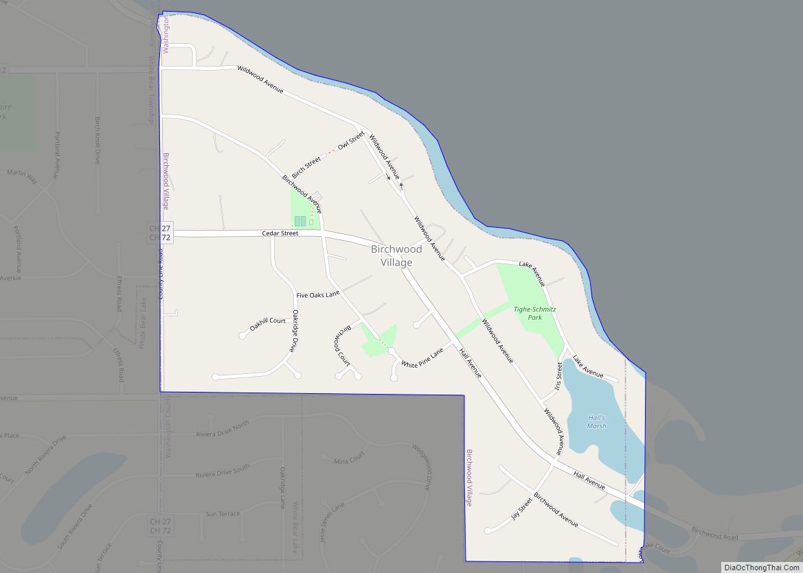
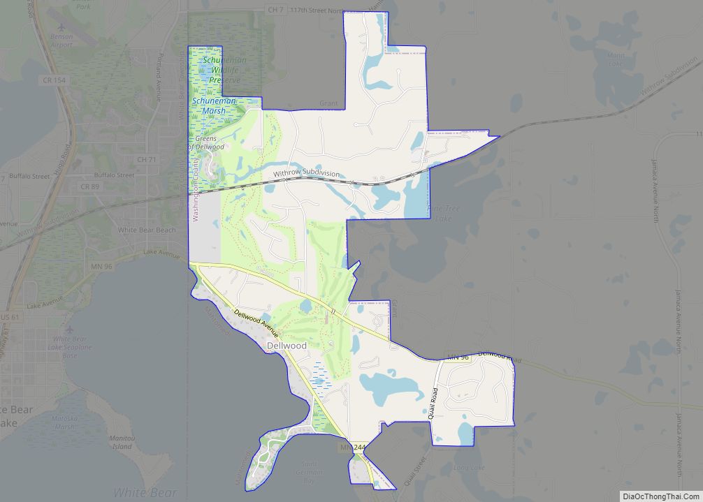
The White Bear Lake Area Historical Society was incorporated on September 25, 1970 and gathers, preserves and shares the stories of the five communities that touch the shore of White Bear Lake – Birchwood, Dellwood, Mahtomedi, White Bear Lake, and White Bear Township.[1]
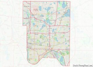
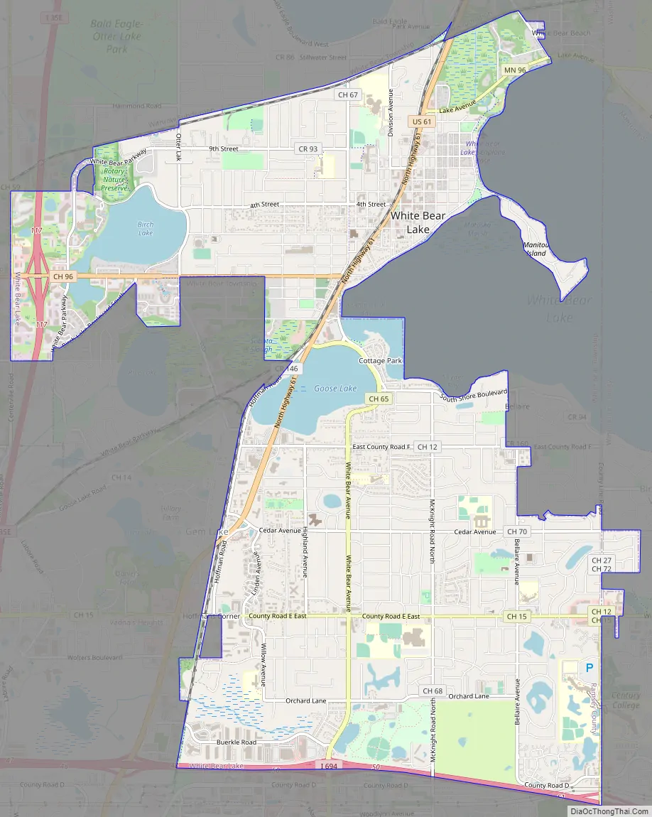
White Bear Lake Road Map
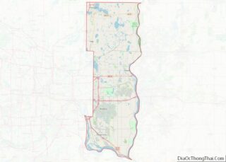
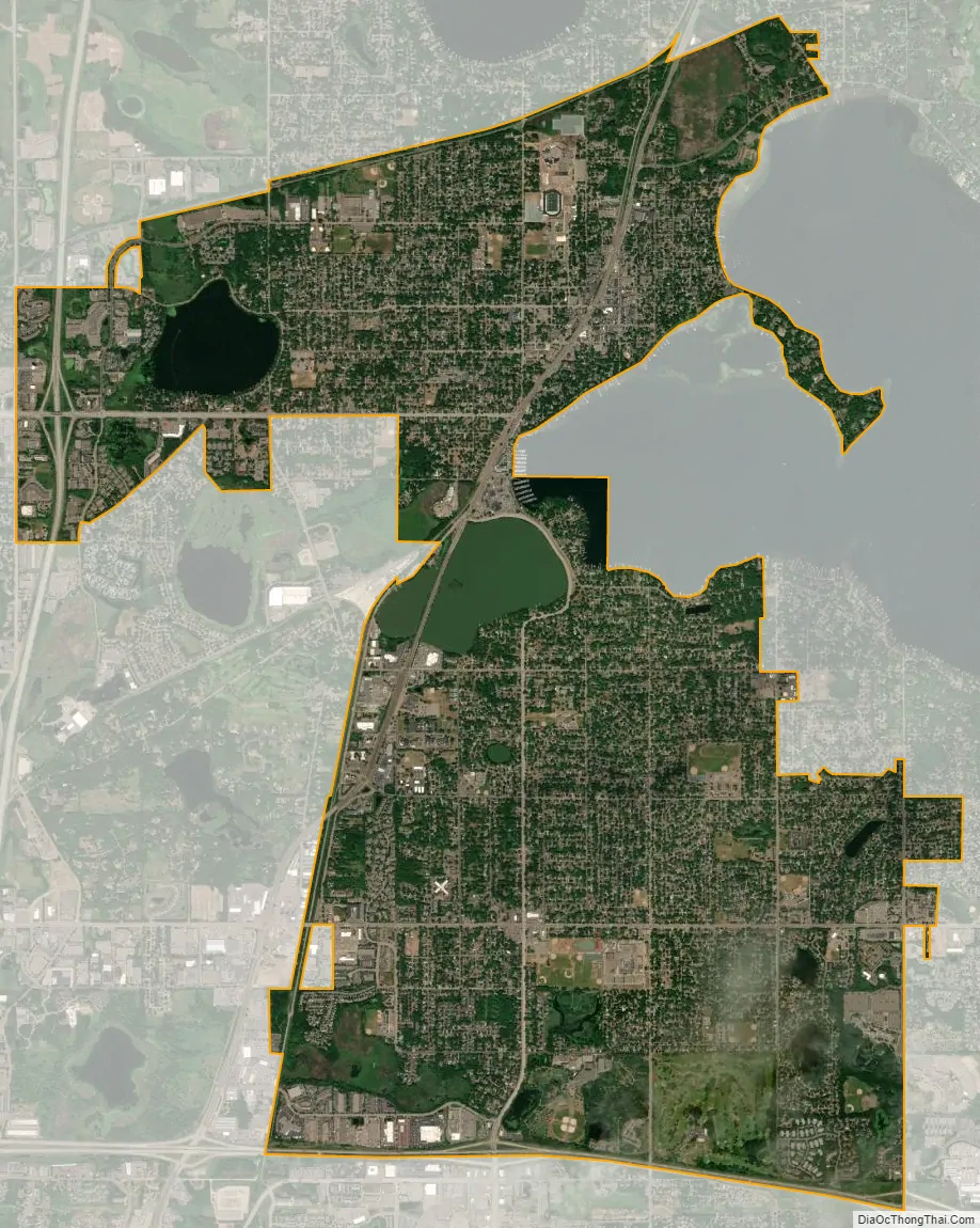
White Bear Lake city Satellite Map
Geography
According to the United States Census Bureau, the city has a total area of 8.66 square miles (22.43 km), of which 8.02 square miles (20.77 km) is land and 0.64 square miles (1.66 km) is water.
U.S. Highway 61, Ramsey County Highway 96, Minnesota State Highway 96, Interstate 35E, and Interstate 694 are five of the main routes in the city.
See also
Map of Minnesota State and its subdivision:- Aitkin
- Anoka
- Becker
- Beltrami
- Benton
- Big Stone
- Blue Earth
- Brown
- Carlton
- Carver
- Cass
- Chippewa
- Chisago
- Clay
- Clearwater
- Cook
- Cottonwood
- Crow Wing
- Dakota
- Dodge
- Douglas
- Faribault
- Fillmore
- Freeborn
- Goodhue
- Grant
- Hennepin
- Houston
- Hubbard
- Isanti
- Itasca
- Jackson
- Kanabec
- Kandiyohi
- Kittson
- Koochiching
- Lac qui Parle
- Lake
- Lake of the Woods
- Lake Superior
- Le Sueur
- Lincoln
- Lyon
- Mahnomen
- Marshall
- Martin
- McLeod
- Meeker
- Mille Lacs
- Morrison
- Mower
- Murray
- Nicollet
- Nobles
- Norman
- Olmsted
- Otter Tail
- Pennington
- Pine
- Pipestone
- Polk
- Pope
- Ramsey
- Red Lake
- Redwood
- Renville
- Rice
- Rock
- Roseau
- Saint Louis
- Scott
- Sherburne
- Sibley
- Stearns
- Steele
- Stevens
- Swift
- Todd
- Traverse
- Wabasha
- Wadena
- Waseca
- Washington
- Watonwan
- Wilkin
- Winona
- Wright
- Yellow Medicine
- Alabama
- Alaska
- Arizona
- Arkansas
- California
- Colorado
- Connecticut
- Delaware
- District of Columbia
- Florida
- Georgia
- Hawaii
- Idaho
- Illinois
- Indiana
- Iowa
- Kansas
- Kentucky
- Louisiana
- Maine
- Maryland
- Massachusetts
- Michigan
- Minnesota
- Mississippi
- Missouri
- Montana
- Nebraska
- Nevada
- New Hampshire
- New Jersey
- New Mexico
- New York
- North Carolina
- North Dakota
- Ohio
- Oklahoma
- Oregon
- Pennsylvania
- Rhode Island
- South Carolina
- South Dakota
- Tennessee
- Texas
- Utah
- Vermont
- Virginia
- Washington
- West Virginia
- Wisconsin
- Wyoming