Williams is a city in Lake of the Woods County, Minnesota, United States. The population was 191 at the 2010 census.
| Name: | Williams city |
|---|---|
| LSAD Code: | 25 |
| LSAD Description: | city (suffix) |
| State: | Minnesota |
| County: | Lake of the Woods County |
| Elevation: | 1,152 ft (351 m) |
| Total Area: | 0.98 sq mi (2.53 km²) |
| Land Area: | 0.98 sq mi (2.53 km²) |
| Water Area: | 0.00 sq mi (0.00 km²) |
| Total Population: | 157 |
| Population Density: | 160.86/sq mi (62.10/km²) |
| ZIP code: | 56686 |
| Area code: | 218 |
| FIPS code: | 2770402 |
| GNISfeature ID: | 0654165 |
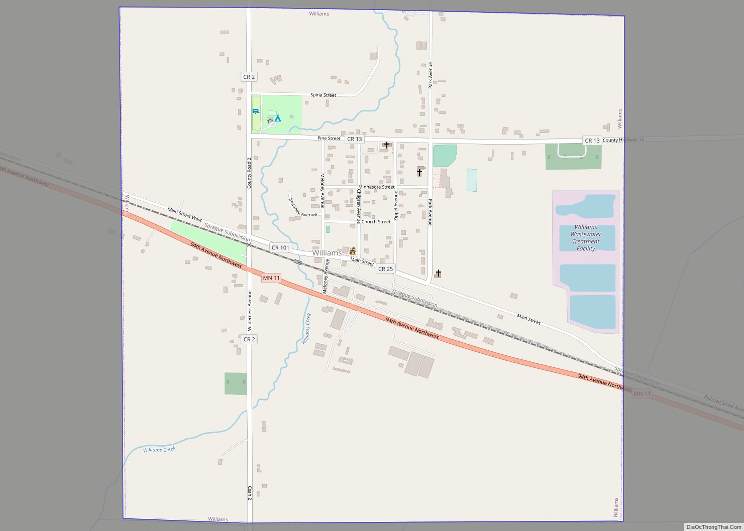
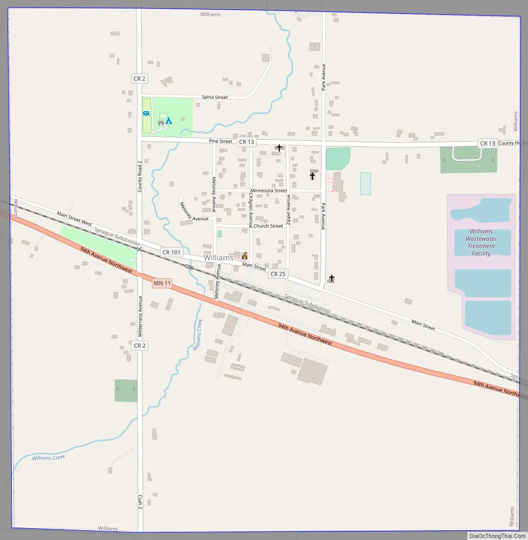
Online Interactive Map
Click on ![]() to view map in "full screen" mode.
to view map in "full screen" mode.
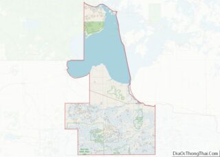
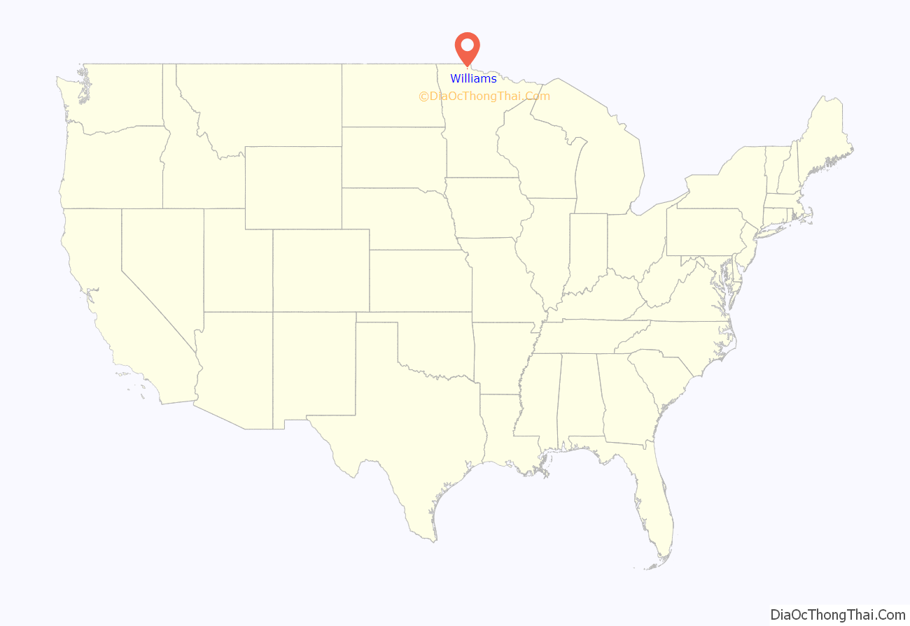
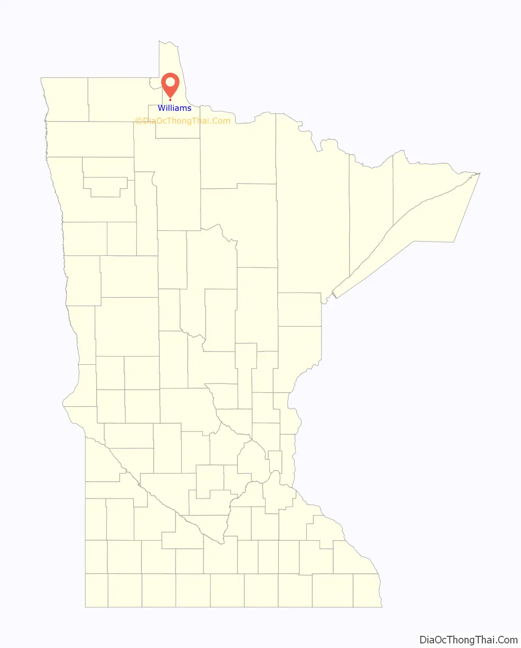
Williams location map. Where is Williams city?
History
Williams was incorporated in 1922. It developed with the Minnesota and Manitoba Railroad as a shipping center for timber products. It was named for William Mason and George Williams, who had followed the track roadbed in 1901 to stake claims at the site. Its post office began in 1903 with William H. Dure as postmaster.
Williams was burned in the Baudette Fire of 1910. It was rebuilt after.
Williams Road Map
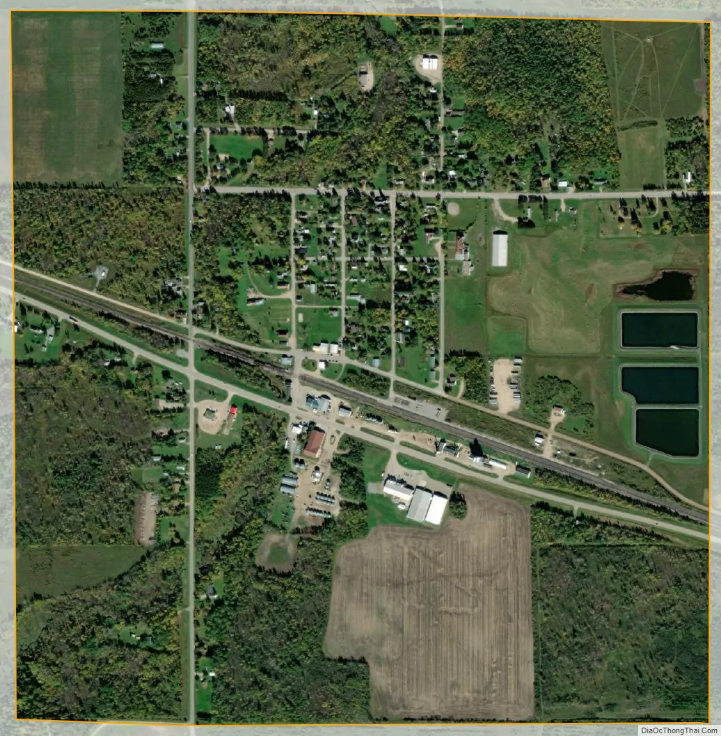
Williams city Satellite Map
Geography
According to the United States Census Bureau, the city has a total area of 0.97 square miles (2.51 km), all land.
Williams is located along Minnesota State Highway 11 and County Road 2. Williams is a gateway to nearby Zippel Bay State Park on the South Shore of Lake of the Woods.
See also
Map of Minnesota State and its subdivision:- Aitkin
- Anoka
- Becker
- Beltrami
- Benton
- Big Stone
- Blue Earth
- Brown
- Carlton
- Carver
- Cass
- Chippewa
- Chisago
- Clay
- Clearwater
- Cook
- Cottonwood
- Crow Wing
- Dakota
- Dodge
- Douglas
- Faribault
- Fillmore
- Freeborn
- Goodhue
- Grant
- Hennepin
- Houston
- Hubbard
- Isanti
- Itasca
- Jackson
- Kanabec
- Kandiyohi
- Kittson
- Koochiching
- Lac qui Parle
- Lake
- Lake of the Woods
- Lake Superior
- Le Sueur
- Lincoln
- Lyon
- Mahnomen
- Marshall
- Martin
- McLeod
- Meeker
- Mille Lacs
- Morrison
- Mower
- Murray
- Nicollet
- Nobles
- Norman
- Olmsted
- Otter Tail
- Pennington
- Pine
- Pipestone
- Polk
- Pope
- Ramsey
- Red Lake
- Redwood
- Renville
- Rice
- Rock
- Roseau
- Saint Louis
- Scott
- Sherburne
- Sibley
- Stearns
- Steele
- Stevens
- Swift
- Todd
- Traverse
- Wabasha
- Wadena
- Waseca
- Washington
- Watonwan
- Wilkin
- Winona
- Wright
- Yellow Medicine
- Alabama
- Alaska
- Arizona
- Arkansas
- California
- Colorado
- Connecticut
- Delaware
- District of Columbia
- Florida
- Georgia
- Hawaii
- Idaho
- Illinois
- Indiana
- Iowa
- Kansas
- Kentucky
- Louisiana
- Maine
- Maryland
- Massachusetts
- Michigan
- Minnesota
- Mississippi
- Missouri
- Montana
- Nebraska
- Nevada
- New Hampshire
- New Jersey
- New Mexico
- New York
- North Carolina
- North Dakota
- Ohio
- Oklahoma
- Oregon
- Pennsylvania
- Rhode Island
- South Carolina
- South Dakota
- Tennessee
- Texas
- Utah
- Vermont
- Virginia
- Washington
- West Virginia
- Wisconsin
- Wyoming