Willmar is a city in, and the county seat of, Kandiyohi County, Minnesota, United States. The population was 21,015 at the 2020 census.
| Name: | Willmar city |
|---|---|
| LSAD Code: | 25 |
| LSAD Description: | city (suffix) |
| State: | Minnesota |
| County: | Kandiyohi County |
| Founded: | 1871 |
| Elevation: | 1,145 ft (349 m) |
| Total Area: | 15.58 sq mi (40.35 km²) |
| Land Area: | 14.23 sq mi (36.86 km²) |
| Water Area: | 1.35 sq mi (3.50 km²) |
| Total Population: | 21,015 |
| Population Density: | 1,476.81/sq mi (570.21/km²) |
| ZIP code: | 56201 |
| Area code: | 320 |
| FIPS code: | 2770420 |
| GNISfeature ID: | 0654177 |
| Website: | willmarmn.gov |
Online Interactive Map
Click on ![]() to view map in "full screen" mode.
to view map in "full screen" mode.
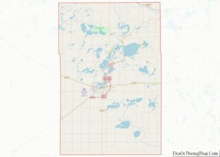
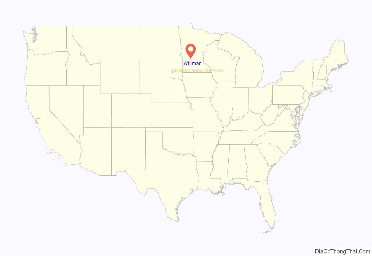
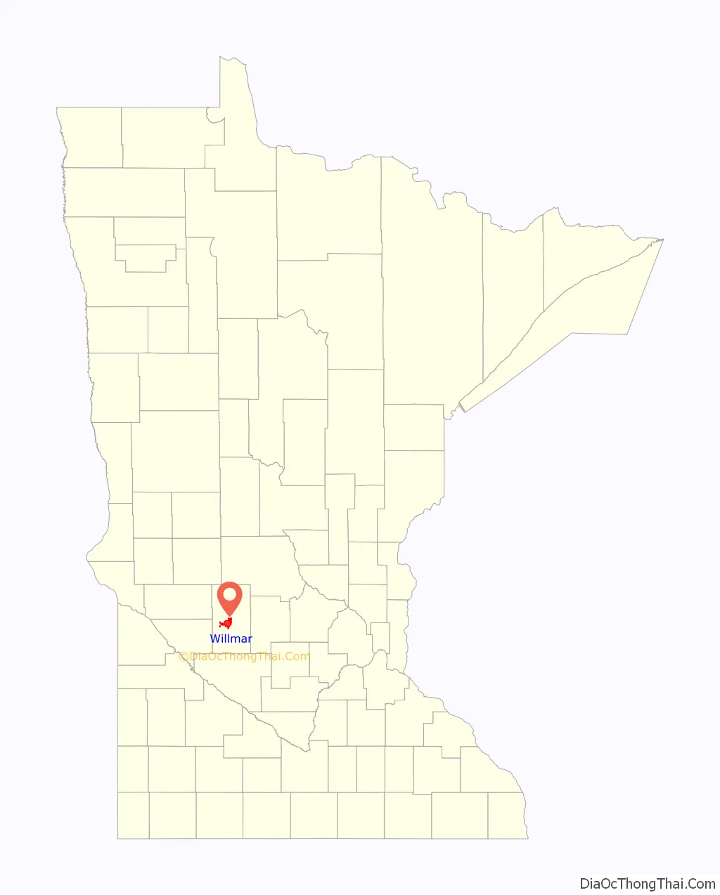
Willmar location map. Where is Willmar city?
History
Agricultural expansion and the establishment of Willmar as a division point on the Great Northern Railway determined its growth. The first settlers arrived during the 1850s, attracted to the fertile land and an abundance of timber and game. The Dakota War of 1862 left the township abandoned for several years. The advent of the railroad in Kandiyohi County in 1869 brought new settlers. Many were of Swedish and Norwegian origin; residents of Scandinavian heritage are still a majority. In 1870, Leon (Chadwick) Willmar, a Belgian acting as an agent for the European bondholder of the St. Paul and Pacific Railroad, purchased the title to Section 1 of Willmar Township. Willmar was established as the county seat in 1871 and was incorporated as a village in 1874 and as a city in 1901.
Willmar was the site of a bank robbery by the Machine Gun Kelly gang on July 15, 1930. They robbed the Bank of Willmar (later Bremer Bank) of about $70,000 (equivalent to $1,135,000 in 2021) and wounded three people.
The Willmar Memorial Auditorium, designed by architect William Ingemann, was the largest assembly hall within 70 miles when completed in 1938. It was funded by the city of Willmar and state and federal governments as a Depression-era works project. It contains several murals by Richard Haines commissioned by the Federal Art Project, and wood paneling in the oak doors by WPA artists. It is on the National Register of Historic Places.
From 1977 to 1979, Willmar was the site of the Willmar 8, a strike of female workers confronting sexual discrimination at a local bank. The story of the strike was reported in mainstream media and made into a documentary.
The music of Willmar native Bradley Joseph draws inspiration from his childhood there, and his company, Robbins Island Music, is named after a Willmar city park.
Willmar was home to the annual Sonshine Festival, a Christian music festival, from 1982 to 2014.
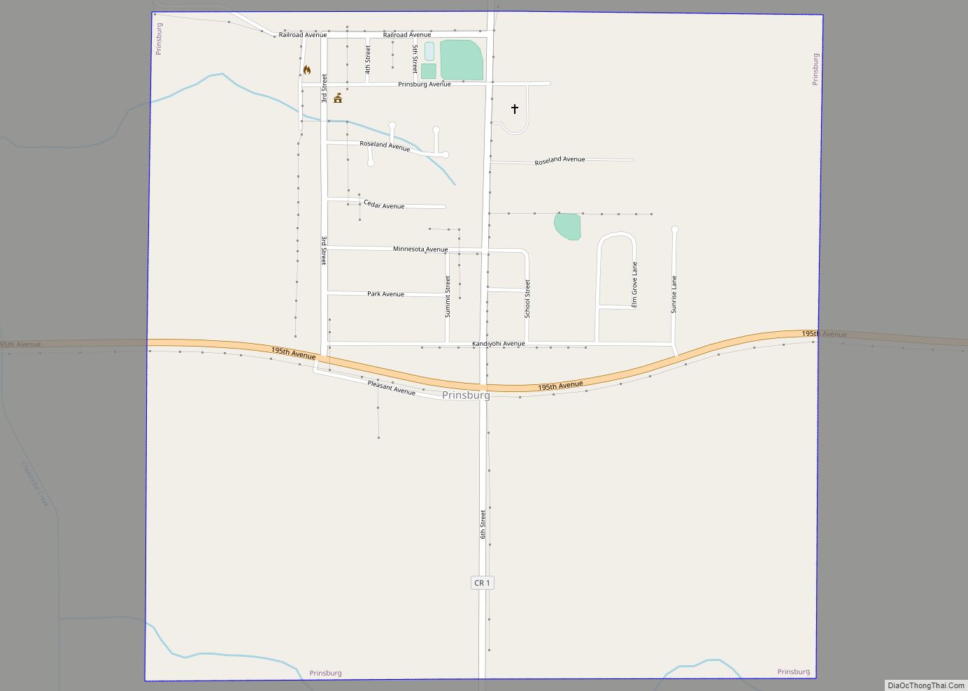
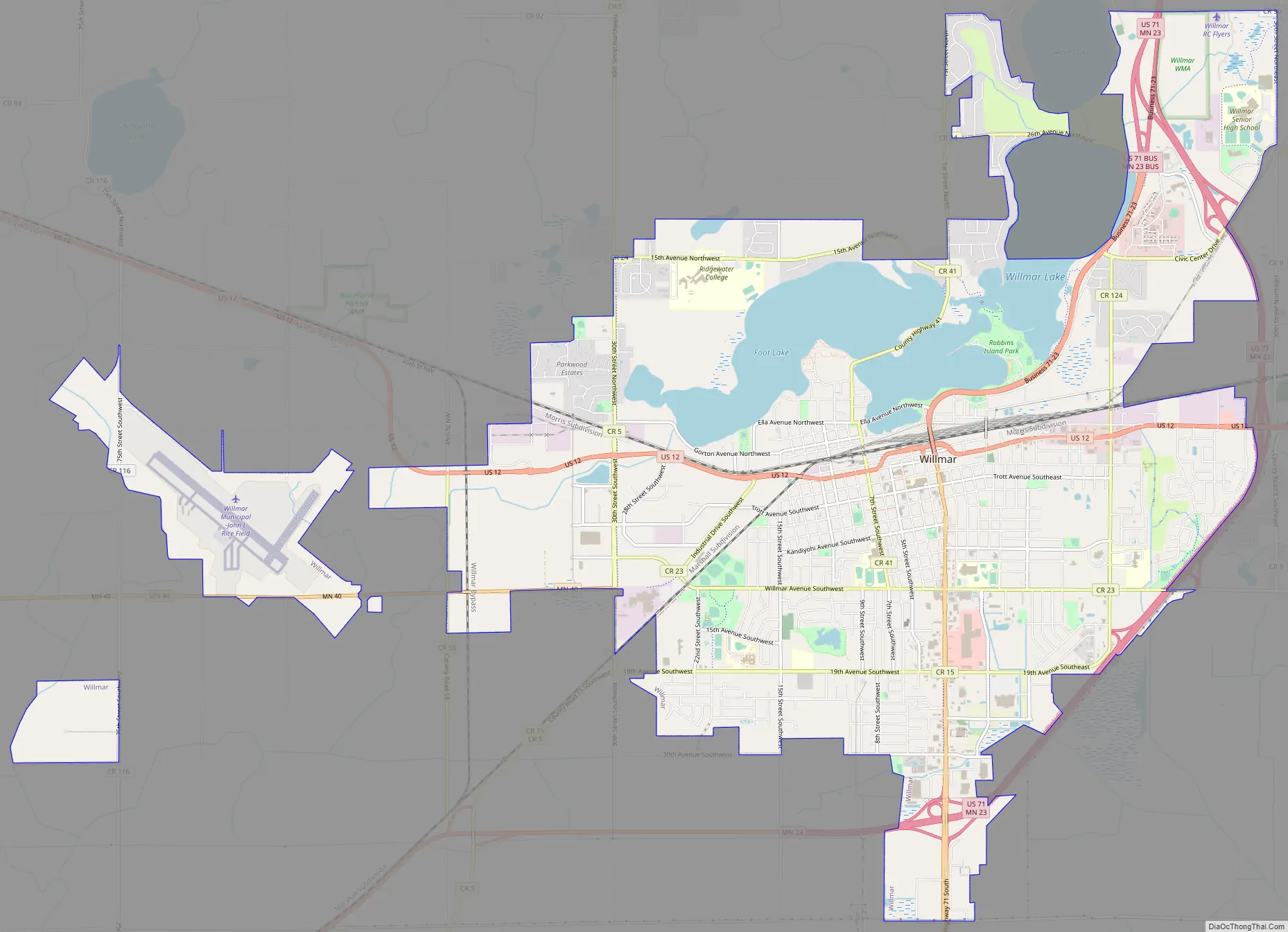
Willmar Road Map
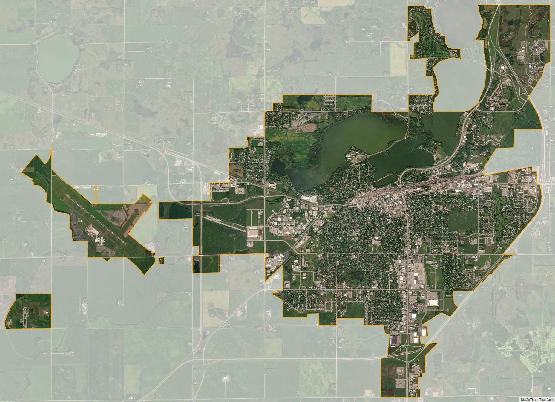
Willmar city Satellite Map
Geography
According to the United States Census Bureau, the city has an area of 15.95 square miles (41.31 km), of which 14.15 square miles (36.65 km) is land and 1.80 square miles (4.66 km) is water.
The 45° latitude line passes just south of Willmar, placing it approximately halfway between the equator and the North Pole.
Climate
See also
Map of Minnesota State and its subdivision:- Aitkin
- Anoka
- Becker
- Beltrami
- Benton
- Big Stone
- Blue Earth
- Brown
- Carlton
- Carver
- Cass
- Chippewa
- Chisago
- Clay
- Clearwater
- Cook
- Cottonwood
- Crow Wing
- Dakota
- Dodge
- Douglas
- Faribault
- Fillmore
- Freeborn
- Goodhue
- Grant
- Hennepin
- Houston
- Hubbard
- Isanti
- Itasca
- Jackson
- Kanabec
- Kandiyohi
- Kittson
- Koochiching
- Lac qui Parle
- Lake
- Lake of the Woods
- Lake Superior
- Le Sueur
- Lincoln
- Lyon
- Mahnomen
- Marshall
- Martin
- McLeod
- Meeker
- Mille Lacs
- Morrison
- Mower
- Murray
- Nicollet
- Nobles
- Norman
- Olmsted
- Otter Tail
- Pennington
- Pine
- Pipestone
- Polk
- Pope
- Ramsey
- Red Lake
- Redwood
- Renville
- Rice
- Rock
- Roseau
- Saint Louis
- Scott
- Sherburne
- Sibley
- Stearns
- Steele
- Stevens
- Swift
- Todd
- Traverse
- Wabasha
- Wadena
- Waseca
- Washington
- Watonwan
- Wilkin
- Winona
- Wright
- Yellow Medicine
- Alabama
- Alaska
- Arizona
- Arkansas
- California
- Colorado
- Connecticut
- Delaware
- District of Columbia
- Florida
- Georgia
- Hawaii
- Idaho
- Illinois
- Indiana
- Iowa
- Kansas
- Kentucky
- Louisiana
- Maine
- Maryland
- Massachusetts
- Michigan
- Minnesota
- Mississippi
- Missouri
- Montana
- Nebraska
- Nevada
- New Hampshire
- New Jersey
- New Mexico
- New York
- North Carolina
- North Dakota
- Ohio
- Oklahoma
- Oregon
- Pennsylvania
- Rhode Island
- South Carolina
- South Dakota
- Tennessee
- Texas
- Utah
- Vermont
- Virginia
- Washington
- West Virginia
- Wisconsin
- Wyoming