Wrenshall is a city in Carlton County, Minnesota, United States. It was originally a brickyard. The population was 428 at the 2020 census. Wrenshall is located just south of Jay Cooke State Park.
| Name: | Wrenshall city |
|---|---|
| LSAD Code: | 25 |
| LSAD Description: | city (suffix) |
| State: | Minnesota |
| County: | Carlton County |
| Elevation: | 1,040 ft (317 m) |
| Total Area: | 1.49 sq mi (3.86 km²) |
| Land Area: | 1.49 sq mi (3.86 km²) |
| Water Area: | 0.00 sq mi (0.00 km²) |
| Total Population: | 428 |
| Population Density: | 287.06/sq mi (110.85/km²) |
| ZIP code: | 55749, 55797 |
| Area code: | 218 |
| FIPS code: | 2771788 |
| GNISfeature ID: | 0654392 |
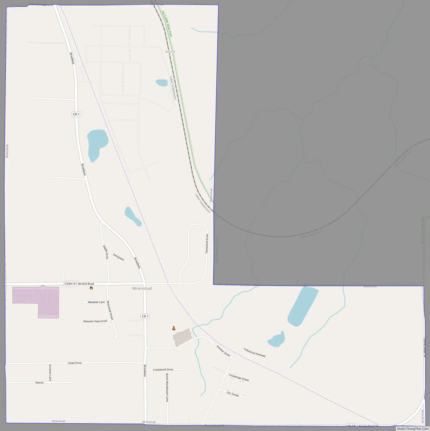
Online Interactive Map
Click on ![]() to view map in "full screen" mode.
to view map in "full screen" mode.
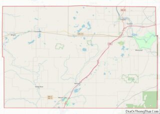
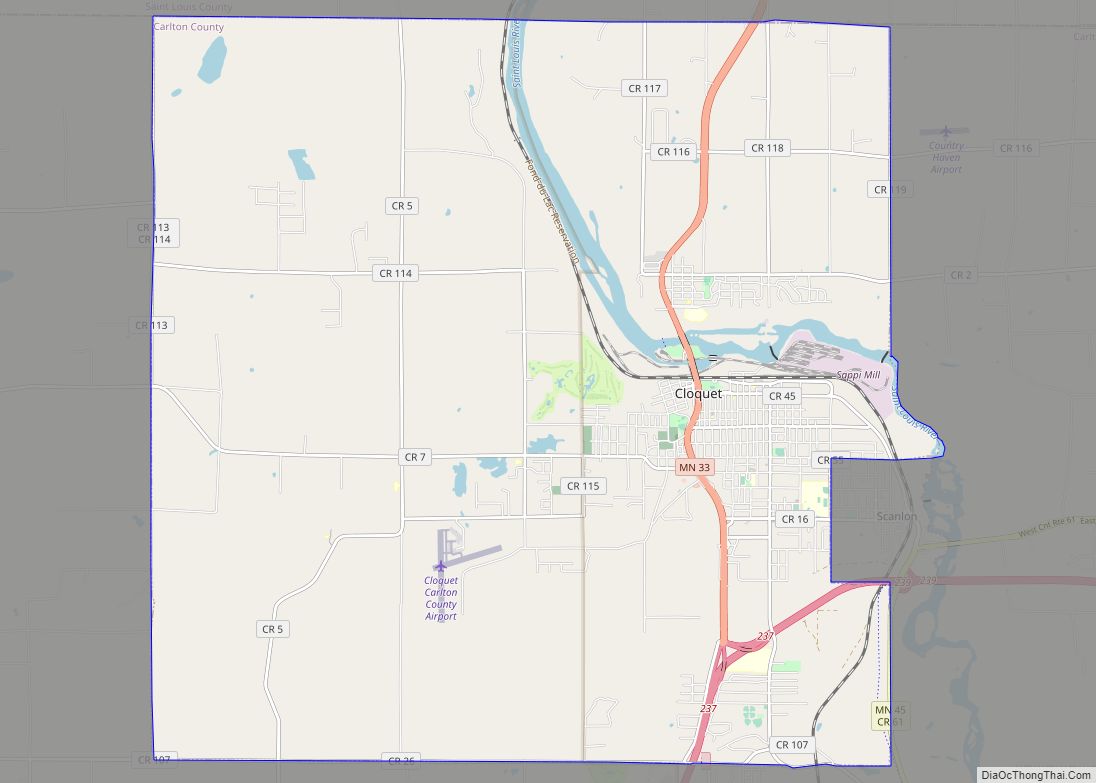
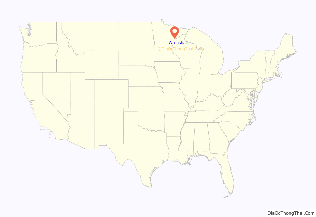
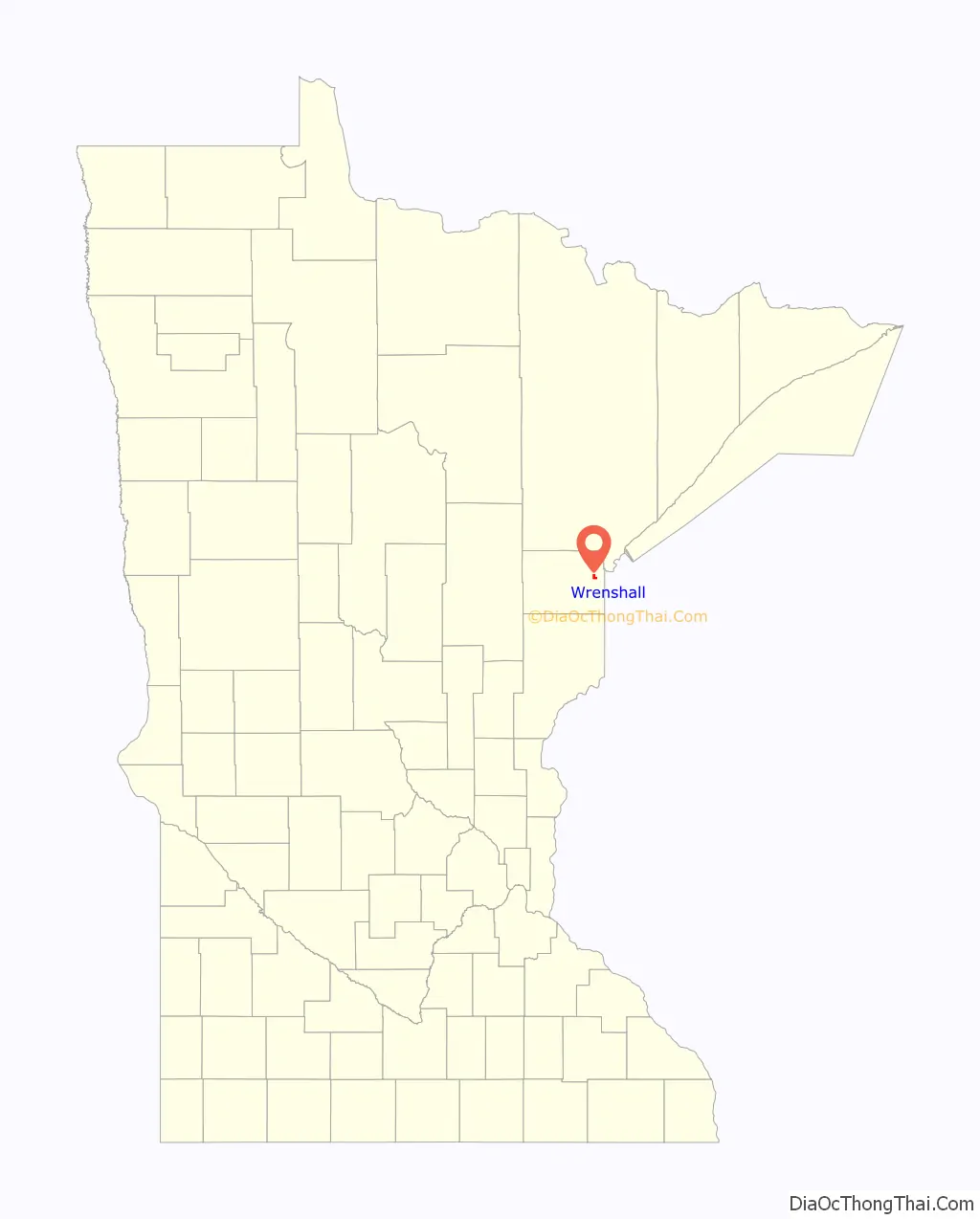
Wrenshall location map. Where is Wrenshall city?
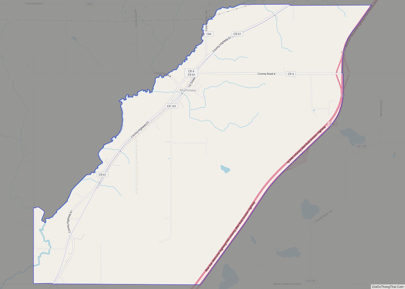
Wrenshall Road Map
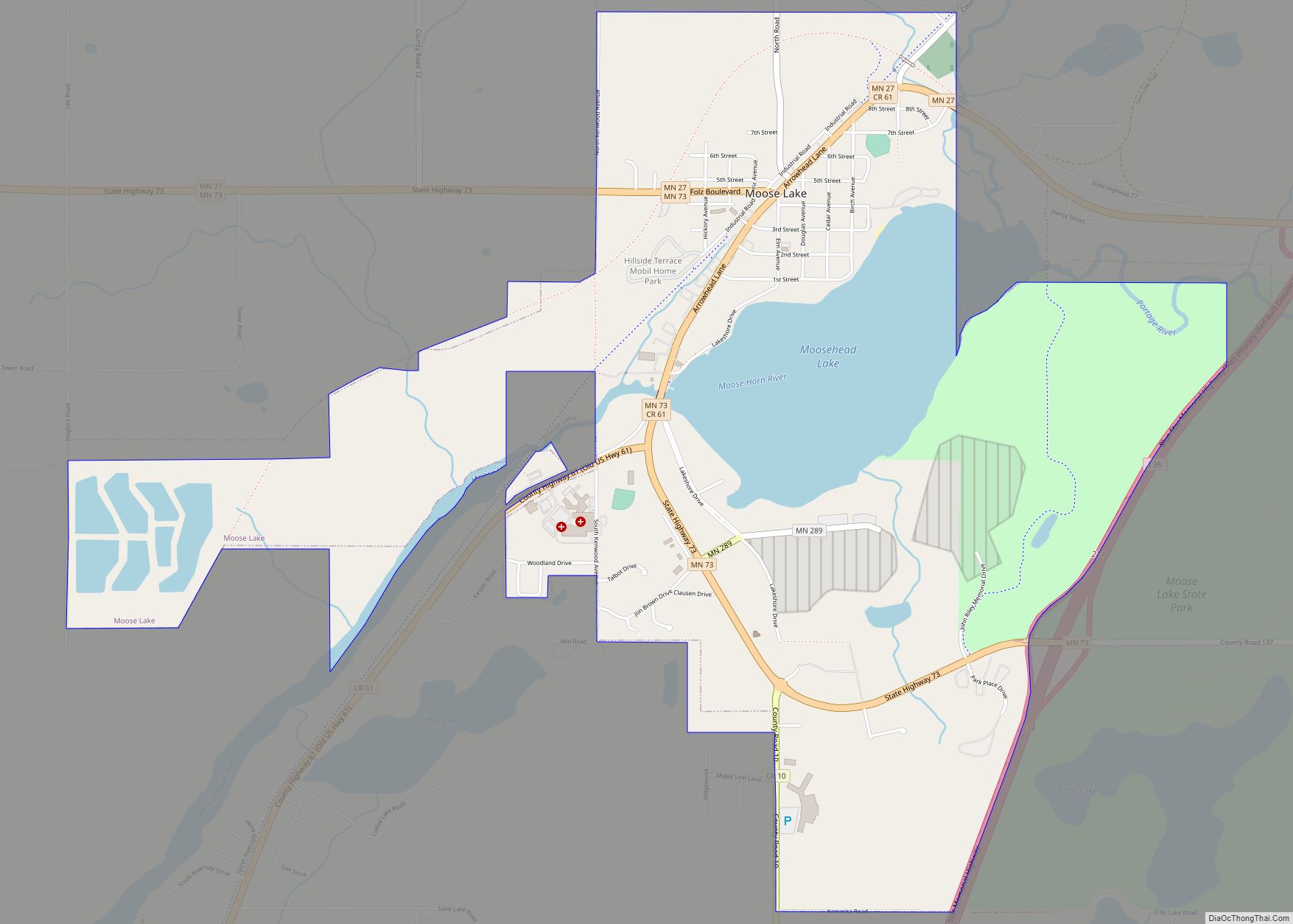
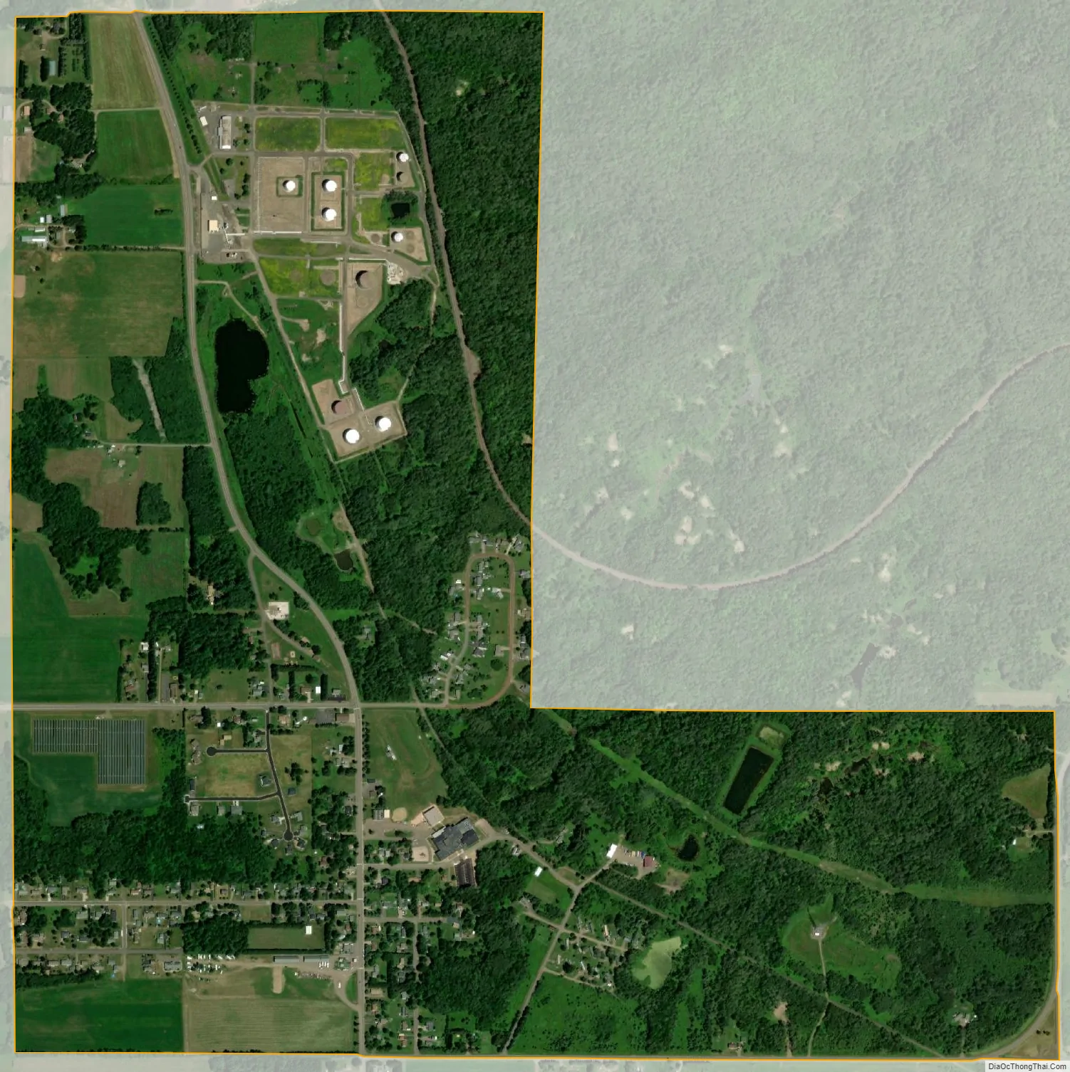
Wrenshall city Satellite Map
Geography
According to the United States Census Bureau, the city has a total area of 1.50 square miles (3.88 km), all land.
Wrenshall is located nine miles southeast of the city of Cloquet; and 25 miles southwest of the city of Duluth.
Carlton County Roads 1, 4, and 18 are three of the main routes in Wrenshall.
State Highways 45 and 210 at nearby Carlton are four miles north of Wrenshall. State Highway 23 at Silver Brook Township is 2.5 miles east of Wrenshall.
Access from nearby Interstate 35 to Wrenshall is via two different locations. State Highways 45 or 210 exits to County Road 1 at Carlton is one alternative; or the County Road 4 exit at nearby Mahtowa is the other.
See also
Map of Minnesota State and its subdivision:- Aitkin
- Anoka
- Becker
- Beltrami
- Benton
- Big Stone
- Blue Earth
- Brown
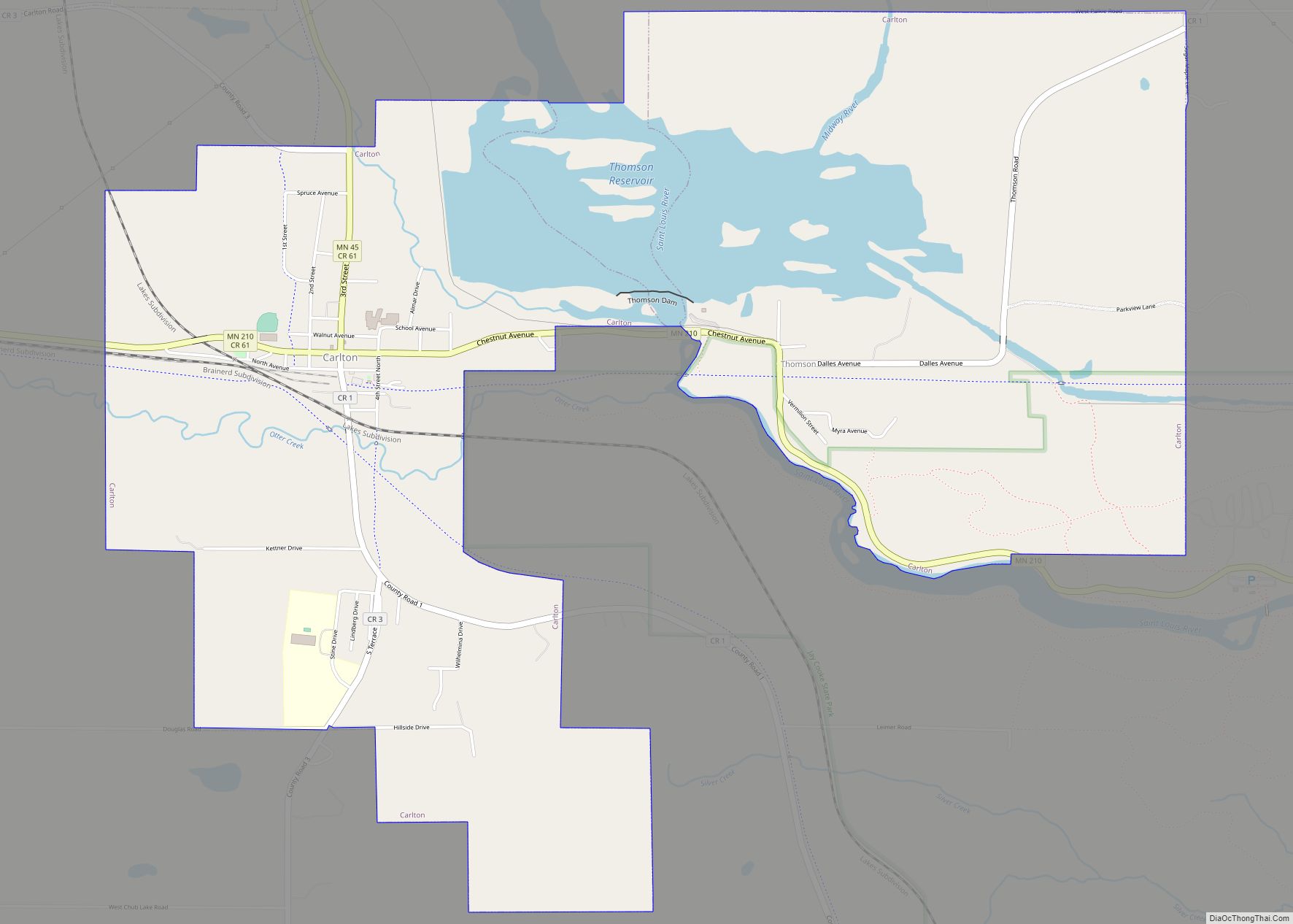
- Carlton
- Carver
- Cass
- Chippewa
- Chisago
- Clay
- Clearwater
- Cook
- Cottonwood
- Crow Wing
- Dakota
- Dodge
- Douglas
- Faribault
- Fillmore
- Freeborn
- Goodhue
- Grant
- Hennepin
- Houston
- Hubbard
- Isanti
- Itasca
- Jackson
- Kanabec
- Kandiyohi
- Kittson
- Koochiching
- Lac qui Parle
- Lake
- Lake of the Woods
- Lake Superior
- Le Sueur
- Lincoln
- Lyon
- Mahnomen
- Marshall
- Martin
- McLeod
- Meeker
- Mille Lacs
- Morrison
- Mower
- Murray
- Nicollet
- Nobles
- Norman
- Olmsted
- Otter Tail
- Pennington
- Pine
- Pipestone
- Polk
- Pope
- Ramsey
- Red Lake
- Redwood
- Renville
- Rice
- Rock
- Roseau
- Saint Louis
- Scott
- Sherburne
- Sibley
- Stearns
- Steele
- Stevens
- Swift
- Todd
- Traverse
- Wabasha
- Wadena
- Waseca
- Washington
- Watonwan
- Wilkin
- Winona
- Wright
- Yellow Medicine
- Alabama
- Alaska
- Arizona
- Arkansas
- California
- Colorado
- Connecticut
- Delaware
- District of Columbia
- Florida
- Georgia
- Hawaii
- Idaho
- Illinois
- Indiana
- Iowa
- Kansas
- Kentucky
- Louisiana
- Maine
- Maryland
- Massachusetts
- Michigan
- Minnesota
- Mississippi
- Missouri
- Montana
- Nebraska
- Nevada
- New Hampshire
- New Jersey
- New Mexico
- New York
- North Carolina
- North Dakota
- Ohio
- Oklahoma
- Oregon
- Pennsylvania
- Rhode Island
- South Carolina
- South Dakota
- Tennessee
- Texas
- Utah
- Vermont
- Virginia
- Washington
- West Virginia
- Wisconsin
- Wyoming