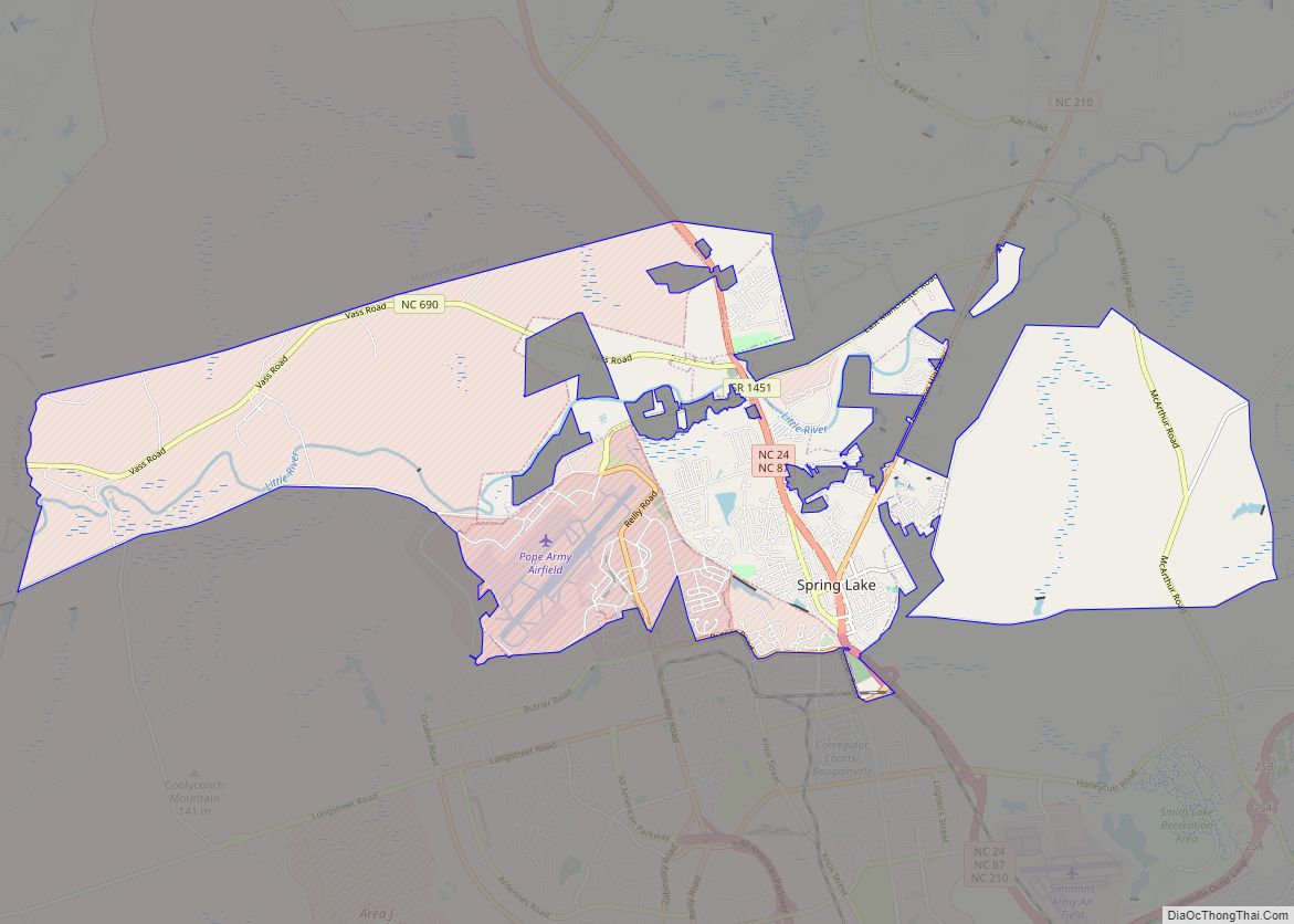
Spring Lake is a town in Cumberland County, North Carolina, United States. The 2010 census recorded the population at 11,964 people, with an estimated population in 2019 of 12,005.
| Name: | Spring Lake town |
|---|---|
| LSAD Code: | 43 |
| LSAD Description: | town (suffix) |
| State: | North Carolina |
| County: | Cumberland County |
| Elevation: | 276 ft (84 m) |
| Total Area: | 23.84 sq mi (61.74 km²) |
| Land Area: | 23.62 sq mi (61.18 km²) |
| Water Area: | 0.22 sq mi (0.56 km²) |
| Total Population: | 11,660 |
| Population Density: | 493.65/sq mi (190.60/km²) |
| ZIP code: | 28390 |
| FIPS code: | 3764180 |
| GNISfeature ID: | 1022752 |
| Website: | www.townofspringlake.com |
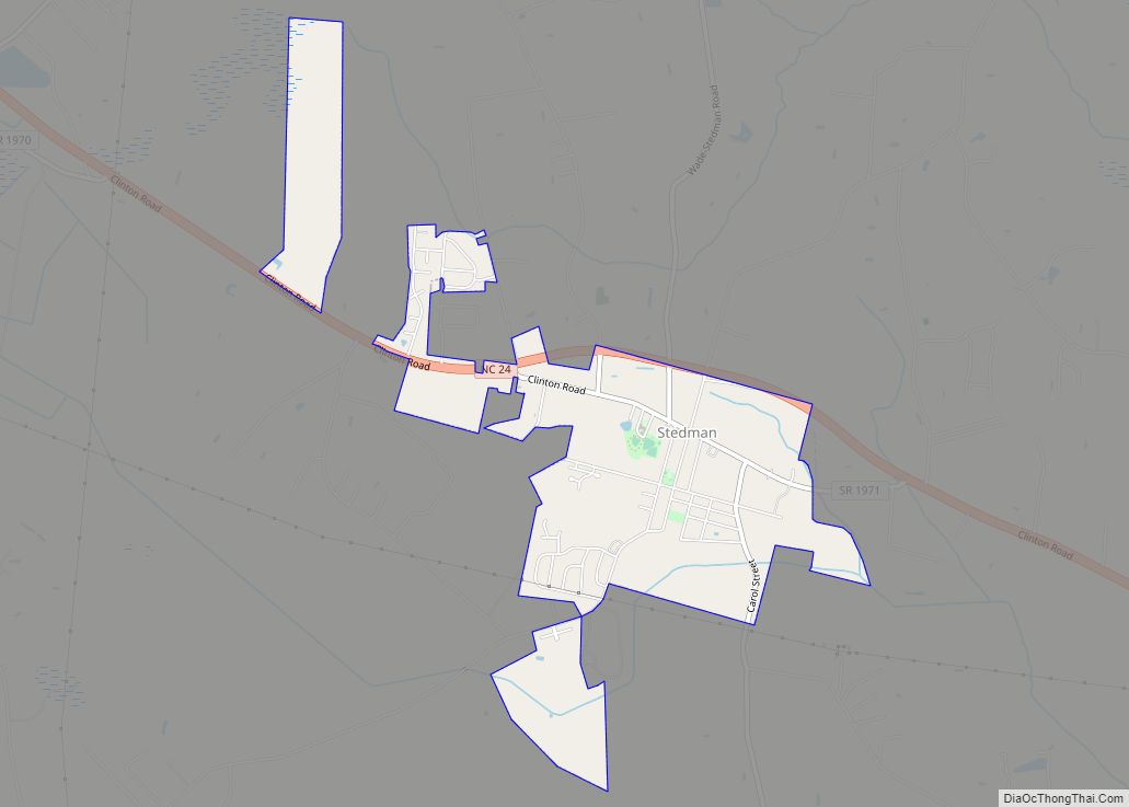
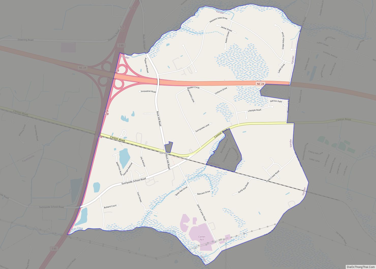
Online Interactive Map
Click on ![]() to view map in "full screen" mode.
to view map in "full screen" mode.
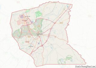
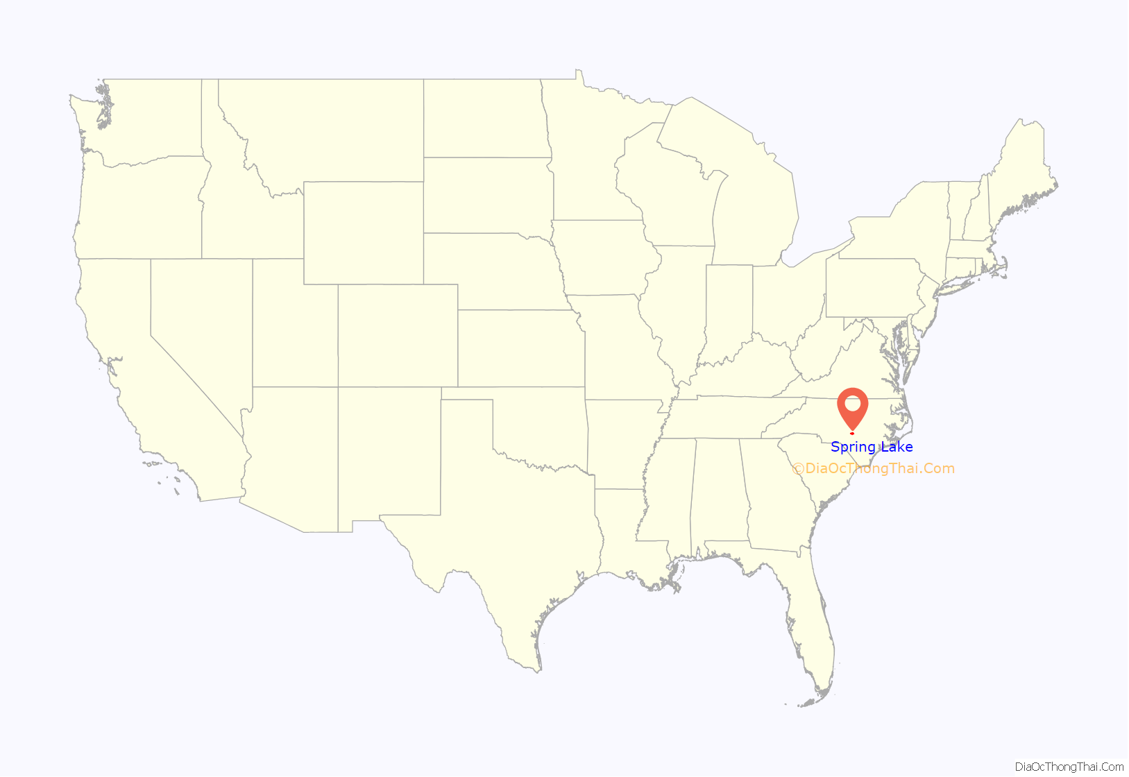
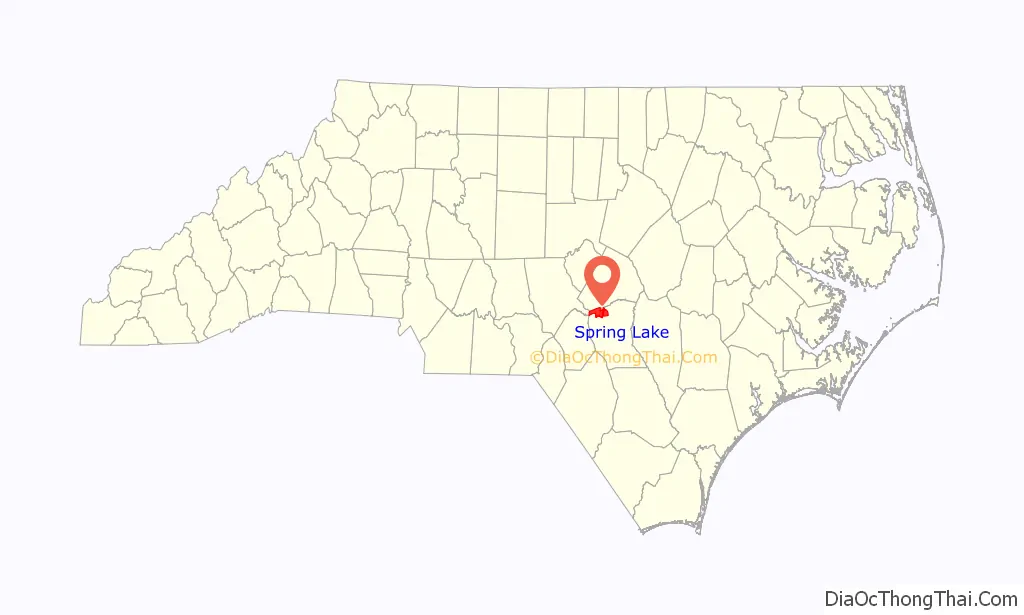
Spring Lake location map. Where is Spring Lake town?
History
The current name of the town first appeared around 1923 when Arthur Priddy opened the Spring Lake service station in relation to the lake (Spring Lake Pond) that ran beside the rail line. Previously, the area was called “Clayton Cut”, due to the pathway cut that ran through the area where the railroad later resided, and also “Prince’s Siding”, after a man named Prince who owned a sawmill on this land.
Spring Lake was officially incorporated on April 9, 1951. Grady Howard was named interim mayor on this date, and was officially elected the first mayor of Spring Lake on June 5, 1951.
The modern growth spurt beginning in World War II is attributed to the proximity of Fort Bragg.
Long Valley Farm was listed on the National Register of Historic Places in 1994.
Spring Lake Road Map

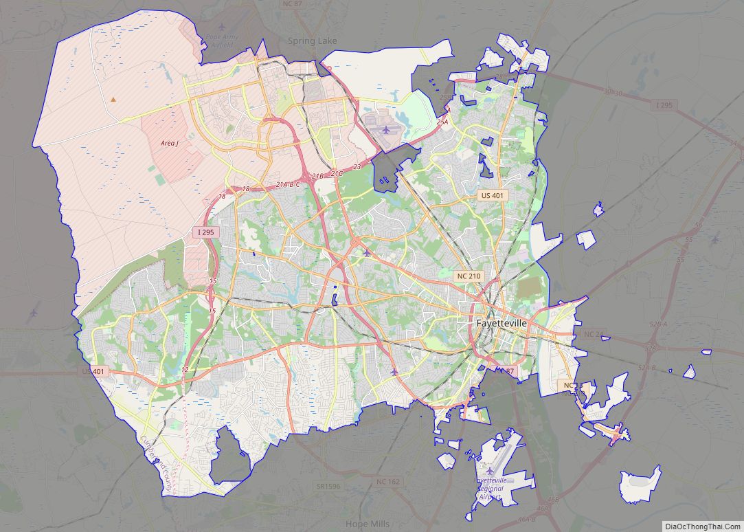
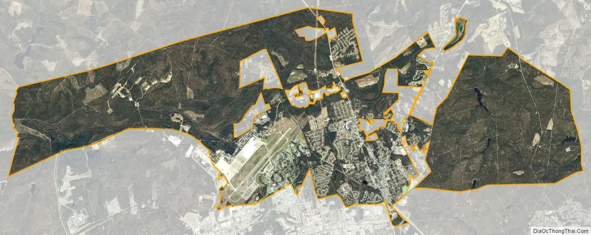
Spring Lake city Satellite Map
Geography
Spring Lake is located in northwestern Cumberland County at 35°10′39″N 78°58′32″W / 35.17750°N 78.97556°W / 35.17750; -78.97556 (35.177593, -78.975501). It is bordered to the south by the city of Fayetteville, the Cumberland County seat, to the west by Hoke and Moore counties, and to the north by Harnett County. Large portions of the town limits are occupied by Pope Air Force Base and parts of Fort Bragg.
North Carolina Highways 87 and 24 run concurrently through the town, leading south 11 miles (18 km) to downtown Fayetteville. NC 87 leads north 26 miles (42 km) to Sanford, while NC 24 runs northwest 31 miles (50 km) to Carthage. North Carolina Highway 210 leads northeast 18 miles (29 km) to Lillington and southeast as Murchison Road 10 miles (16 km) to downtown Fayetteville.
According to the United States Census Bureau, the town of Spring Lake has a total area of 23.2 square miles (60.2 km), of which 23.1 square miles (59.7 km) is land and 0.19 square miles (0.5 km), or 0.88%, is water. The Little River, a tributary of the Cape Fear River, runs the length of the town from west to east, passing north of the town center.
See also
Map of North Carolina State and its subdivision:- Alamance
- Alexander
- Alleghany
- Anson
- Ashe
- Avery
- Beaufort
- Bertie
- Bladen
- Brunswick
- Buncombe
- Burke
- Cabarrus
- Caldwell
- Camden
- Carteret
- Caswell
- Catawba
- Chatham
- Cherokee
- Chowan
- Clay
- Cleveland
- Columbus
- Craven
- Cumberland
- Currituck
- Dare
- Davidson
- Davie
- Duplin
- Durham
- Edgecombe
- Forsyth
- Franklin
- Gaston
- Gates
- Graham
- Granville
- Greene
- Guilford
- Halifax
- Harnett
- Haywood
- Henderson
- Hertford
- Hoke
- Hyde
- Iredell
- Jackson
- Johnston
- Jones
- Lee
- Lenoir
- Lincoln
- Macon
- Madison
- Martin
- McDowell
- Mecklenburg
- Mitchell
- Montgomery
- Moore
- Nash
- New Hanover
- Northampton
- Onslow
- Orange
- Pamlico
- Pasquotank
- Pender
- Perquimans
- Person
- Pitt
- Polk
- Randolph
- Richmond
- Robeson
- Rockingham
- Rowan
- Rutherford
- Sampson
- Scotland
- Stanly
- Stokes
- Surry
- Swain
- Transylvania
- Tyrrell
- Union
- Vance
- Wake
- Warren
- Washington
- Watauga
- Wayne
- Wilkes
- Wilson
- Yadkin
- Yancey
- Alabama
- Alaska
- Arizona
- Arkansas
- California
- Colorado
- Connecticut
- Delaware
- District of Columbia
- Florida
- Georgia
- Hawaii
- Idaho
- Illinois
- Indiana
- Iowa
- Kansas
- Kentucky
- Louisiana
- Maine
- Maryland
- Massachusetts
- Michigan
- Minnesota
- Mississippi
- Missouri
- Montana
- Nebraska
- Nevada
- New Hampshire
- New Jersey
- New Mexico
- New York
- North Carolina
- North Dakota
- Ohio
- Oklahoma
- Oregon
- Pennsylvania
- Rhode Island
- South Carolina
- South Dakota
- Tennessee
- Texas
- Utah
- Vermont
- Virginia
- Washington
- West Virginia
- Wisconsin
- Wyoming