Lillington is a town in Harnett County, North Carolina, United States. Its population was 3,194 at the 2010 census, and was 4,735 in the 2020 census. It is the county seat of Harnett County. Lillington is a part of the Dunn micropolitan area, which is also a part of the greater Raleigh–Durham–Cary combined statistical area as defined by the United States Census Bureau.
| Name: | Lillington town |
|---|---|
| LSAD Code: | 43 |
| LSAD Description: | town (suffix) |
| State: | North Carolina |
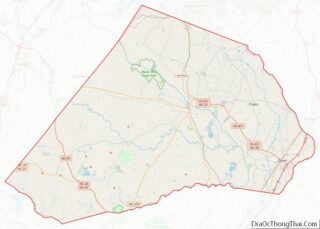
| County: | Harnett County |
| Elevation: | 194 ft (59 m) |
| Total Area: | 6.30 sq mi (16.33 km²) |
| Land Area: | 6.26 sq mi (16.21 km²) |
| Water Area: | 0.04 sq mi (0.12 km²) |
| Total Population: | 4,735 |
| Population Density: | 756.39/sq mi (292.05/km²) |
| ZIP code: | 27546 |
| FIPS code: | 3738220 |
| GNISfeature ID: | 1021150 |
| Website: | lillingtonnc.org |
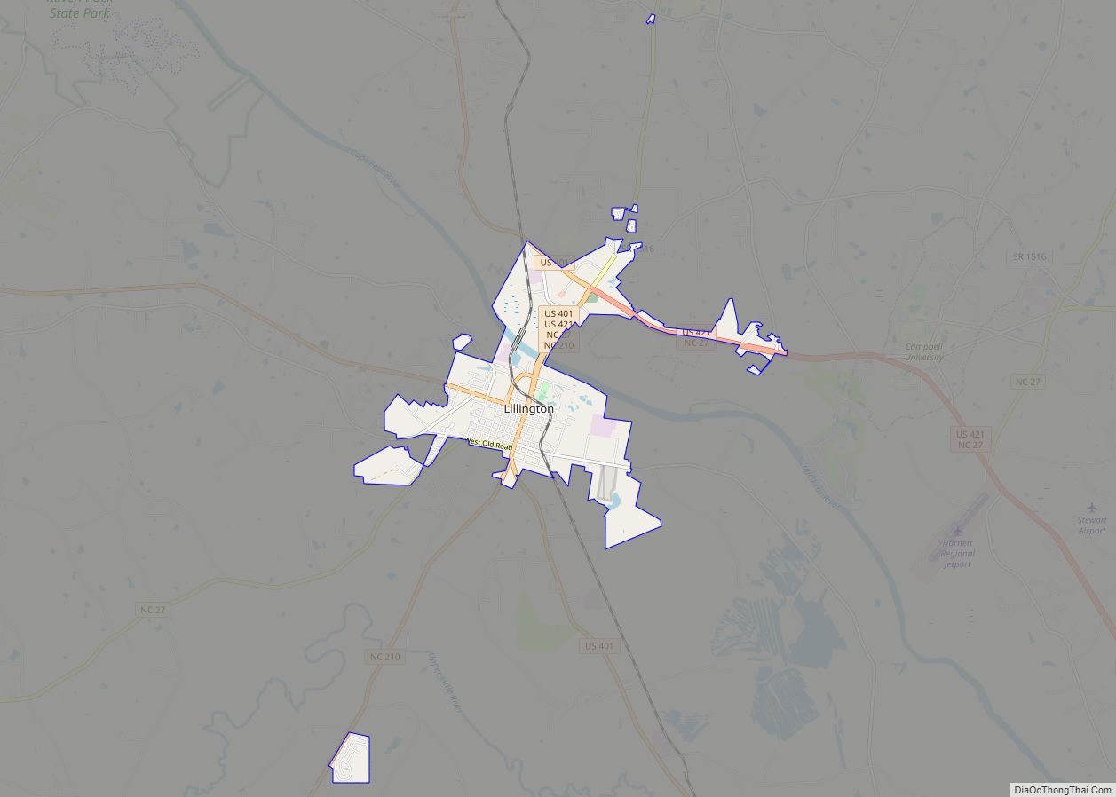
Online Interactive Map
Click on ![]() to view map in "full screen" mode.
to view map in "full screen" mode.
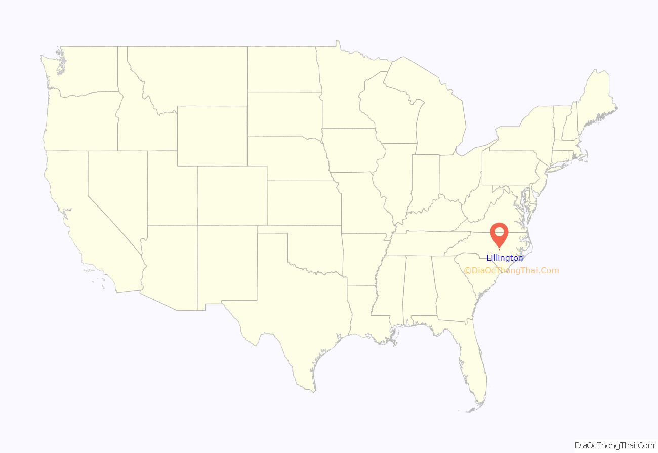
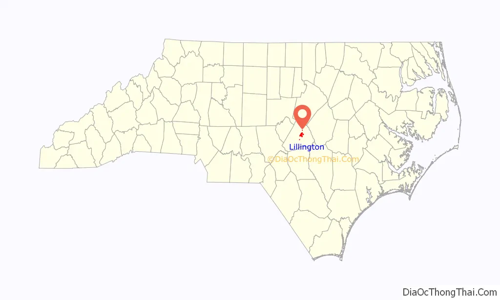
Lillington location map. Where is Lillington town?
History
A post office called Lillington has been in operation since 1874. The town was originally called Harnett Court House. The town of Lillington is named for John Alexander Lillington (circa 1725–1786), aka Alexander John Lillington, who was a Patriot officer from North Carolina in the American Revolutionary War, notably fighting in the Battle of Moore’s Creek Bridge in 1776 and serving as brigadier general in the state militia.
The Summer Villa and the McKay-Salmon House and Summerville Presbyterian Church and Cemetery are listed on the National Register of Historic Places.
Lillington Road Map

Lillington city Satellite Map

Geography
Lillington is located near the geographic center of Harnett County. U.S. Route 401 (Main Street) passes through the center of town, leading north 31 miles (50 km) to Raleigh, the state capital, and south 27 miles (43 km) to Fayetteville. U.S. Route 421 follows US-401 along North Main Street through the town, but turns west out of town via West Front Street, leading 22 miles (35 km) to Sanford. US-421 turns east from US-401 near the northern end of town and leads southeast 14 miles (23 km) to Dunn.
According to the United States Census Bureau, the town of Lillington has a total area of 4.6 square miles (11.9 km), of which 0.04 square miles (0.1 km), or 0.68%, is covered by water. The Cape Fear River crosses the northern part of the town.
Poorhouse Creek, a tributary to the Cape Fear River, begins on the southwestern end of Lillington.
See also
Map of North Carolina State and its subdivision:- Alamance
- Alexander
- Alleghany
- Anson
- Ashe
- Avery
- Beaufort
- Bertie
- Bladen
- Brunswick
- Buncombe
- Burke
- Cabarrus
- Caldwell
- Camden
- Carteret
- Caswell
- Catawba
- Chatham
- Cherokee
- Chowan
- Clay
- Cleveland
- Columbus
- Craven
- Cumberland
- Currituck
- Dare
- Davidson
- Davie
- Duplin
- Durham
- Edgecombe
- Forsyth
- Franklin
- Gaston
- Gates
- Graham
- Granville
- Greene
- Guilford
- Halifax
- Harnett
- Haywood
- Henderson
- Hertford
- Hoke
- Hyde
- Iredell
- Jackson
- Johnston
- Jones
- Lee
- Lenoir
- Lincoln
- Macon
- Madison
- Martin
- McDowell
- Mecklenburg
- Mitchell
- Montgomery
- Moore
- Nash
- New Hanover
- Northampton
- Onslow
- Orange
- Pamlico
- Pasquotank
- Pender
- Perquimans
- Person
- Pitt
- Polk
- Randolph
- Richmond
- Robeson
- Rockingham
- Rowan
- Rutherford
- Sampson
- Scotland
- Stanly
- Stokes
- Surry
- Swain
- Transylvania
- Tyrrell
- Union
- Vance
- Wake
- Warren
- Washington
- Watauga
- Wayne
- Wilkes
- Wilson
- Yadkin
- Yancey
- Alabama
- Alaska
- Arizona
- Arkansas
- California
- Colorado
- Connecticut
- Delaware
- District of Columbia
- Florida
- Georgia
- Hawaii
- Idaho
- Illinois
- Indiana
- Iowa
- Kansas
- Kentucky
- Louisiana
- Maine
- Maryland
- Massachusetts
- Michigan
- Minnesota
- Mississippi
- Missouri
- Montana
- Nebraska
- Nevada
- New Hampshire
- New Jersey
- New Mexico
- New York
- North Carolina
- North Dakota
- Ohio
- Oklahoma
- Oregon
- Pennsylvania
- Rhode Island
- South Carolina
- South Dakota
- Tennessee
- Texas
- Utah
- Vermont
- Virginia
- Washington
- West Virginia
- Wisconsin
- Wyoming