Cedarhurst is a village in the Town of Hempstead in Nassau County, on the South Shore of Long Island, in New York, United States. The population was 6,592 at the 2010 census.
The Incorporated Village of Cedarhurst is located in the region of Long Island’s South Shore known as the Five Towns.
| Name: | Cedarhurst village |
|---|---|
| LSAD Code: | 47 |
| LSAD Description: | village (suffix) |
| State: | New York |
| County: | Nassau County |
| Incorporated: | 1910 |
| Elevation: | 26 ft (8 m) |
| Total Area: | 0.68 sq mi (1.75 km²) |
| Land Area: | 0.68 sq mi (1.75 km²) |
| Water Area: | 0.00 sq mi (0.00 km²) |
| Population Density: | 10,924.44/sq mi (4,219.23/km²) |
| ZIP code: | 11516 |
| Area code: | 516 |
| FIPS code: | 3613233 |
| GNISfeature ID: | 0946156 |
| Website: | www.cedarhurst.gov |
Online Interactive Map
Click on ![]() to view map in "full screen" mode.
to view map in "full screen" mode.
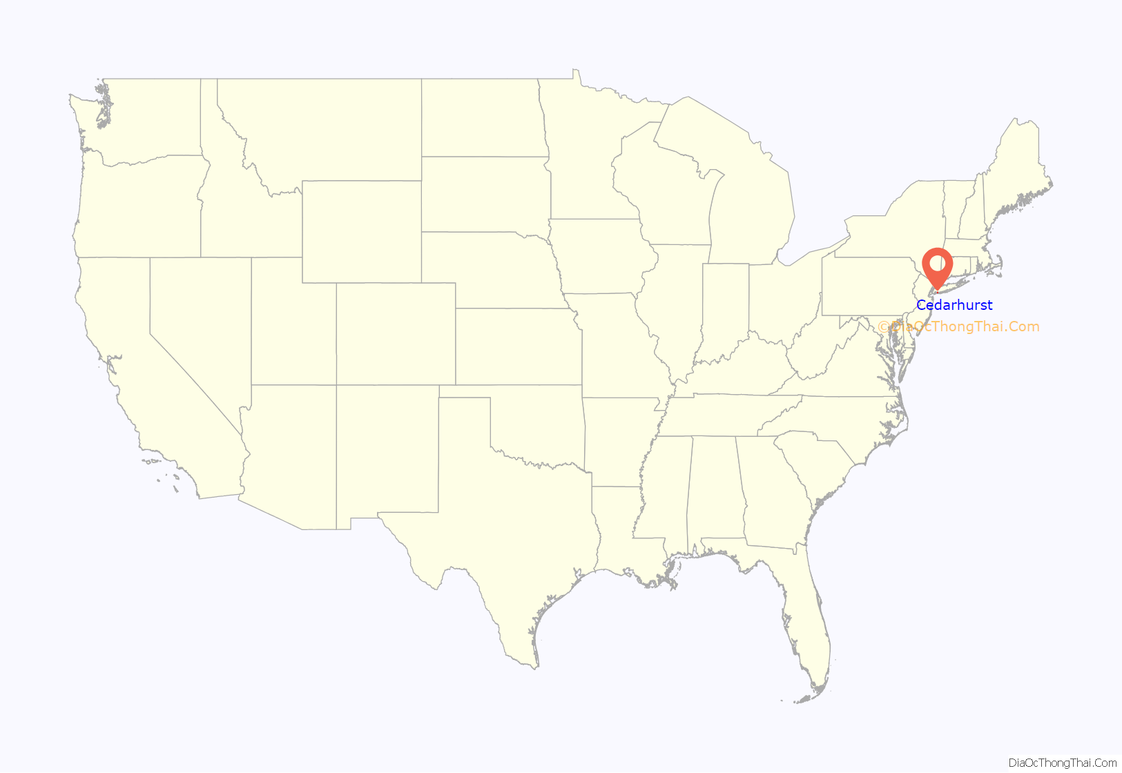
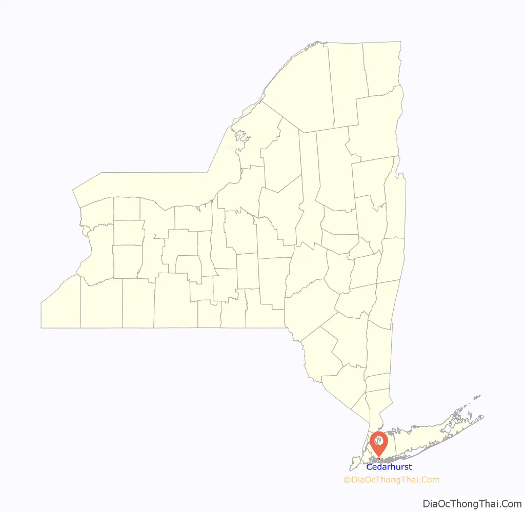
Cedarhurst location map. Where is Cedarhurst village?
History
The village was incorporated in 1910. It is part of the “Five Towns,” together with the village of Lawrence and the hamlets of Woodmere and Inwood, and “The Hewletts,” which consist of the villages of Hewlett Bay Park, Hewlett Harbor and Hewlett Neck and the hamlet of Hewlett, along with Woodsburgh.
Cedarhurst’s early name was Ocean Point. Rail service arrived in 1869 which led people to the area, especially to the Rockaway Hunting Club, built in Cedarhurst in 1878. A post office was established in 1884, and Ocean Point was renamed Cedarhurst, partly at the request of the Hunt Club. The name Cedarhurst is in reference to a grove of trees that once stood at the post office.
For many years, Central Avenue, the area’s main business district, was considered the Rodeo Drive of Long Island, offering upscale shops and boutiques to discriminating shoppers from around the area. With the growth of the local Orthodox Jewish community, many stores and restaurants now cater to the needs of this community. As observant Jews do not shop on the Jewish Sabbath, many of the street’s businesses are closed on Saturday, reducing the foot traffic for those stores that remain open on Saturdays.
On November 22, 2019, a fire broke out at the Cedarhurst Shoppes, which affected five businesses of various types and significantly damaged them.
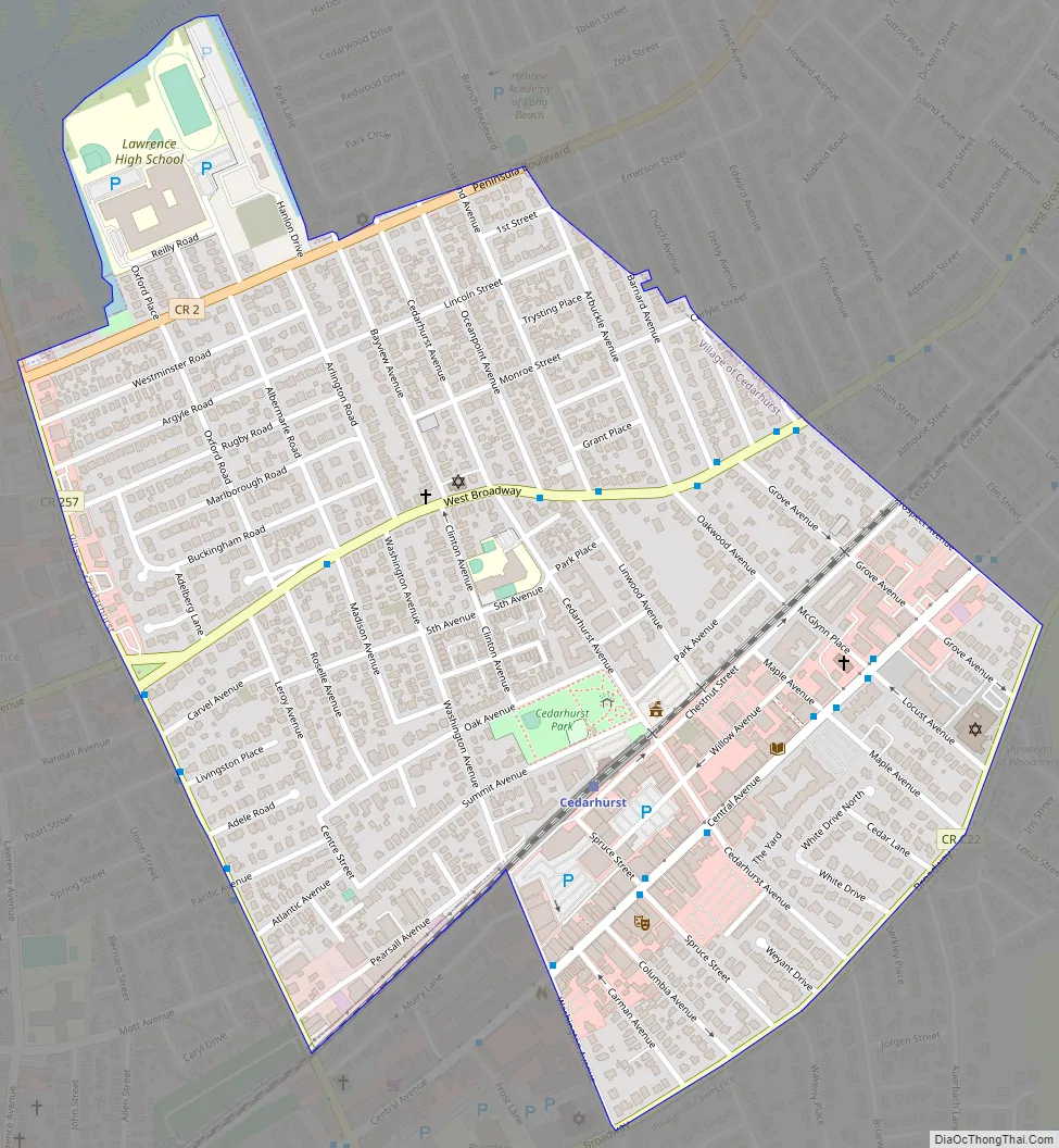
Cedarhurst Road Map
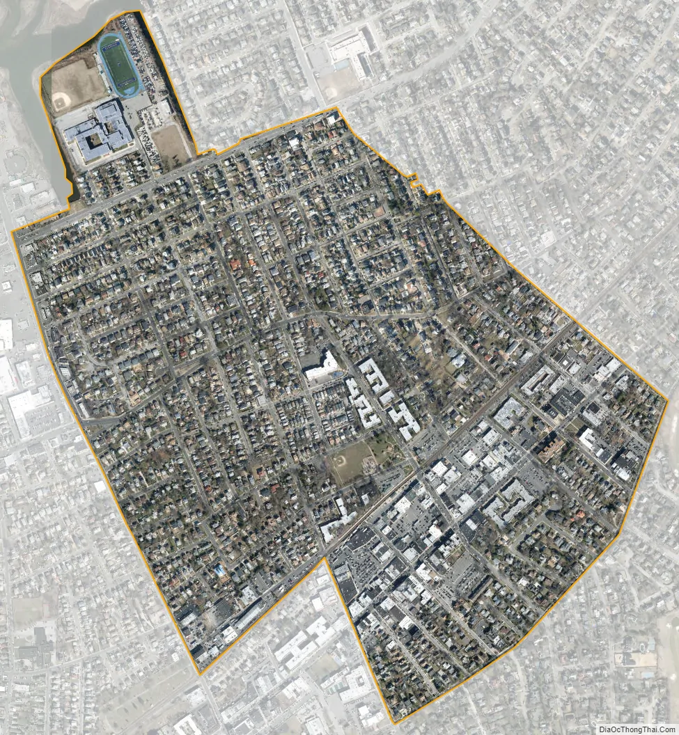
Cedarhurst city Satellite Map
Geography
According to the United States Census Bureau, the village has a total area of 0.7 square miles (1.8 km), all land.
See also
Map of New York State and its subdivision:- Albany
- Allegany
- Bronx
- Broome
- Cattaraugus
- Cayuga
- Chautauqua
- Chemung
- Chenango
- Clinton
- Columbia
- Cortland
- Delaware
- Dutchess
- Erie
- Essex
- Franklin
- Fulton
- Genesee
- Greene
- Hamilton
- Herkimer
- Jefferson
- Kings
- Lake Ontario
- Lewis
- Livingston
- Madison
- Monroe
- Montgomery
- Nassau
- New York
- Niagara
- Oneida
- Onondaga
- Ontario
- Orange
- Orleans
- Oswego
- Otsego
- Putnam
- Queens
- Rensselaer
- Richmond
- Rockland
- Saint Lawrence
- Saratoga
- Schenectady
- Schoharie
- Schuyler
- Seneca
- Steuben
- Suffolk
- Sullivan
- Tioga
- Tompkins
- Ulster
- Warren
- Washington
- Wayne
- Westchester
- Wyoming
- Yates
- Alabama
- Alaska
- Arizona
- Arkansas
- California
- Colorado
- Connecticut
- Delaware
- District of Columbia
- Florida
- Georgia
- Hawaii
- Idaho
- Illinois
- Indiana
- Iowa
- Kansas
- Kentucky
- Louisiana
- Maine
- Maryland
- Massachusetts
- Michigan
- Minnesota
- Mississippi
- Missouri
- Montana
- Nebraska
- Nevada
- New Hampshire
- New Jersey
- New Mexico
- New York
- North Carolina
- North Dakota
- Ohio
- Oklahoma
- Oregon
- Pennsylvania
- Rhode Island
- South Carolina
- South Dakota
- Tennessee
- Texas
- Utah
- Vermont
- Virginia
- Washington
- West Virginia
- Wisconsin
- Wyoming


