Woodmere is a hamlet and census-designated place (CDP) in the Town of Hempstead in Nassau County, New York, United States. The population was 17,554 at the 2016 census.
Woodmere is one of the Long Island communities known as the Five Towns, which is usually said to comprise the villages of Lawrence and Cedarhurst, the hamlets of Woodmere and Inwood, and “The Hewletts”, which consist of the villages of Hewlett Bay Park, Hewlett Harbor, Hewlett Neck, and Woodsburgh, along with the unincorporated hamlet of Hewlett.
| Name: | Woodmere CDP |
|---|---|
| LSAD Code: | 57 |
| LSAD Description: | CDP (suffix) |
| State: | New York |
| County: | Nassau County |
| Elevation: | 23 ft (7 m) |
| Total Area: | 2.7 sq mi (7.0 km²) |
| Land Area: | 2.6 sq mi (6.6 km²) |
| Water Area: | 0.1 sq mi (0.4 km²) |
| Total Population: | 17,121 |
| ZIP code: | 11598 |
| Area code: | 516 |
| FIPS code: | 3682942 |
| GNISfeature ID: | 0971684 |
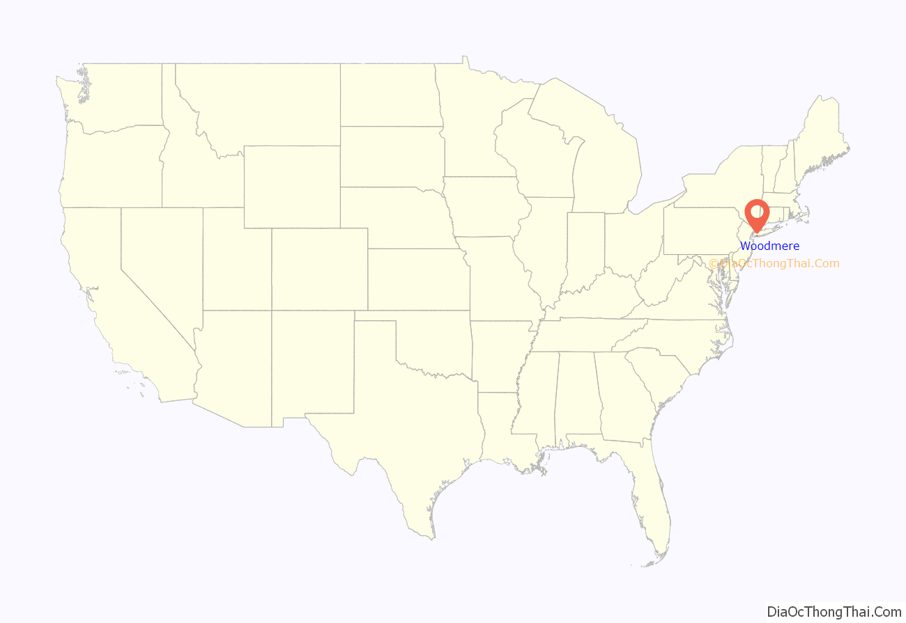
Online Interactive Map
Click on ![]() to view map in "full screen" mode.
to view map in "full screen" mode.
Woodmere location map. Where is Woodmere CDP?

History
In 1910, Woodmere considered incorporating as a village. These plans, however, were unsuccessful, and Woodmere remains an unincorporated hamlet governed by the Town of Hempstead to this day. Another attempt to incorporate Woodmere as a village was made in 1978; this proposal was also unsuccessful.
Woodmere Road Map
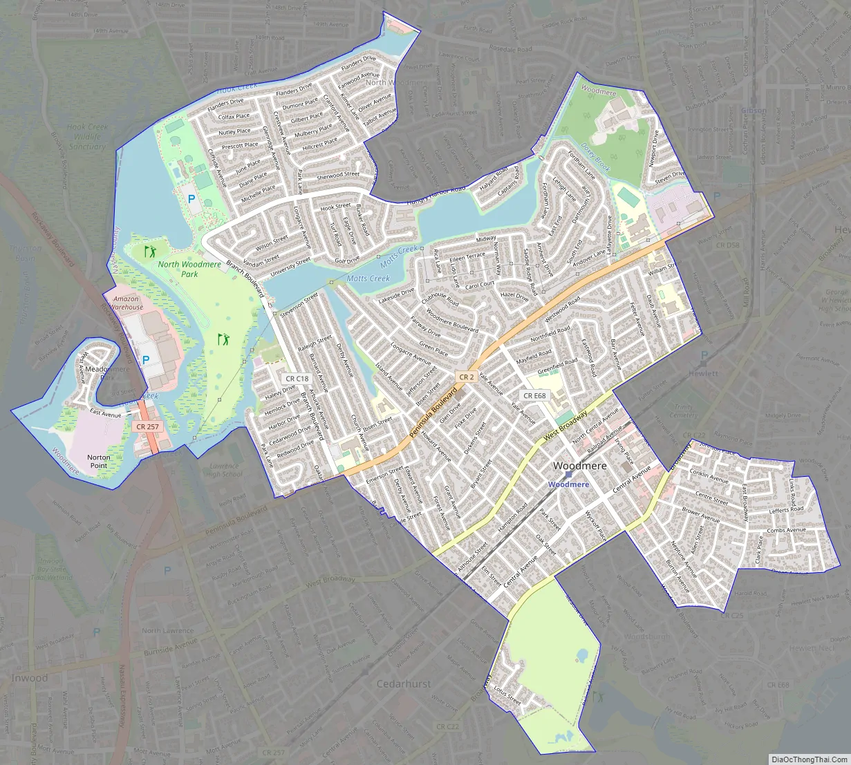
Woodmere city Satellite Map

Geography
According to the United States Census Bureau, the CDP has a total area of 2.7 square miles (7.0 km), of which 2.6 square miles (6.6 km) is land and 0.1 square mile (0.4 km) (5.19%) is water.
Climate
Woodmere has a wet and cold winter, with a warm and moderately dry summer. The average high is 83 in July and 39 in January. The average low in January is 24 and in July 67. The record high is 104 °F (40 °C) in July 1966, and the record low is −12 °F (−24 °C) in 1985 and 1994.
The rainiest month is May, and the driest month is August. Woodmere is prone to droughts from late July until mid-September. Woodmere receives around 22 inches (559 mm) of snow a year in an average winter. Woodmere can get strong to severe thunderstorms, and it is prone to flooding in the early fall and late spring. It has been hit by a tornado three times, in 1985, 1998, and 2021.
Woodmere was hit by Hurricane Gloria in 1985, Tropical Storm Irene in 2011, and Superstorm Sandy in 2012.
See also
Map of New York State and its subdivision:- Albany
- Allegany
- Bronx
- Broome
- Cattaraugus
- Cayuga
- Chautauqua
- Chemung
- Chenango
- Clinton
- Columbia
- Cortland
- Delaware
- Dutchess
- Erie
- Essex
- Franklin
- Fulton
- Genesee
- Greene
- Hamilton
- Herkimer
- Jefferson
- Kings
- Lake Ontario
- Lewis
- Livingston
- Madison
- Monroe
- Montgomery
- Nassau
- New York
- Niagara
- Oneida
- Onondaga
- Ontario
- Orange
- Orleans
- Oswego
- Otsego
- Putnam
- Queens
- Rensselaer
- Richmond
- Rockland
- Saint Lawrence
- Saratoga
- Schenectady
- Schoharie
- Schuyler
- Seneca
- Steuben
- Suffolk
- Sullivan
- Tioga
- Tompkins
- Ulster
- Warren
- Washington
- Wayne
- Westchester
- Wyoming
- Yates
- Alabama
- Alaska
- Arizona
- Arkansas
- California
- Colorado
- Connecticut
- Delaware
- District of Columbia
- Florida
- Georgia
- Hawaii
- Idaho
- Illinois
- Indiana
- Iowa
- Kansas
- Kentucky
- Louisiana
- Maine
- Maryland
- Massachusetts
- Michigan
- Minnesota
- Mississippi
- Missouri
- Montana
- Nebraska
- Nevada
- New Hampshire
- New Jersey
- New Mexico
- New York
- North Carolina
- North Dakota
- Ohio
- Oklahoma
- Oregon
- Pennsylvania
- Rhode Island
- South Carolina
- South Dakota
- Tennessee
- Texas
- Utah
- Vermont
- Virginia
- Washington
- West Virginia
- Wisconsin
- Wyoming


