Croton-on-Hudson is a village in Westchester County, New York, United States. The population was 8,327 at the 2020 United States census over 8,070 at the 2010 census. It is located in the town of Cortlandt as part of New York City’s northern suburbs. The village was incorporated in 1898.
| Name: | Croton-on-Hudson village |
|---|---|
| LSAD Code: | 47 |
| LSAD Description: | village (suffix) |
| State: | New York |
| County: | Westchester County |
| Elevation: | 164 ft (50 m) |
| Total Area: | 10.75 sq mi (27.85 km²) |
| Land Area: | 4.69 sq mi (12.16 km²) |
| Water Area: | 6.06 sq mi (15.70 km²) |
| Total Population: | 8,327 |
| Population Density: | 1,774.34/sq mi (685.03/km²) |
| ZIP code: | 10520-10521 |
| Area code: | 914 |
| FIPS code: | 3619213 |
| GNISfeature ID: | 0947832 |
| Website: | www.crotononhudson-ny.gov |
Online Interactive Map
Click on ![]() to view map in "full screen" mode.
to view map in "full screen" mode.
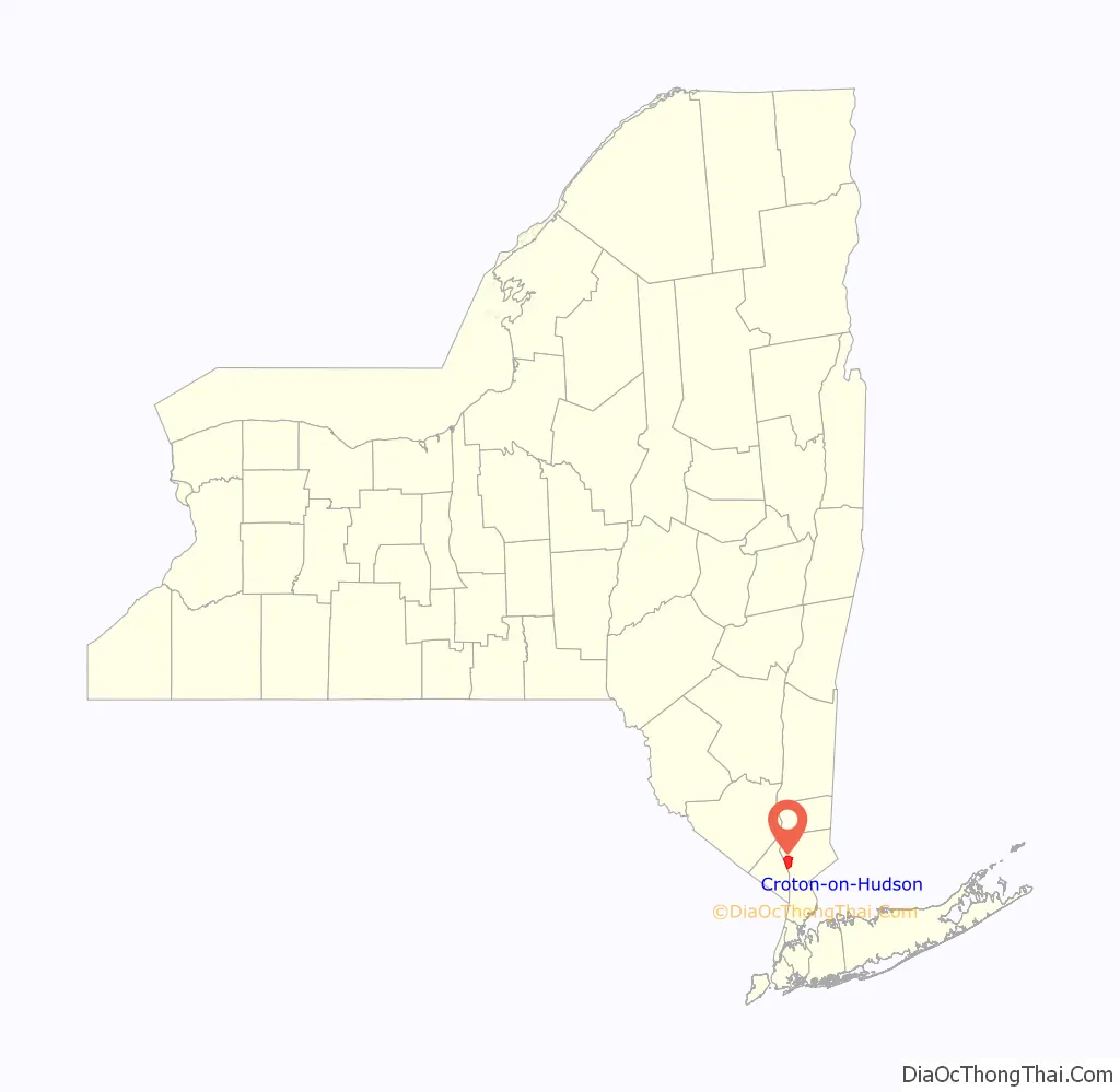
Croton-on-Hudson location map. Where is Croton-on-Hudson village?

History
People lived from at latest about 7000 BC in what would become the village. The Kitchawanc tribe, part of the Wappinger Confederacy of the Algonquian peoples, signed a peace treaty with the newly arriving Dutch people at Croton Point in 1645, now commemorated by a plaque in the park there.
Stephanus van Cortlandt began acquiring land in the area in 1677 (the year he became mayor of New York City) to create a manor. It was granted by royal patent in 1697 as the Manor of Cortlandt, including the area known as Croton Landing where the Croton River meets the Hudson River, where the manor house was built. A 1718 census reports 91 inhabitants including Dutch settlers and English Quakers. People worked the manor primarily as farmers or millers.
In the mid- to late 1800s first the Croton Dam, then the New Croton Dam, and the Croton Aqueduct were built on the Croton River to supply New York City, along with the New York Central Railroad station on the Hudson River. Many Irish, Italian and German immigrants moved to the area to work on those projects, increasing the population dramatically. By 1898, when the Village incorporated, the population was 1,000 people, growing to 1,700 people in the early 1900s.
In 1846 work began on a Hudson River rail line from Poughkeepsie to New York City. Clifford Harmon, a realtor, purchased 550 acres of land next to the village of Croton in 1903. He gave part of the land to the New York Central Railroad to build a train station, on the condition that the station would forever be named after him. Today it is called the Croton-Harmon station of the Metro-North Railroad and of Amtrak. In 1906, the station became a major service facility for the railroad. The station expanded even further in 1913, when it became the stop at which electric trains from New York City switched to steam engines. The station still serves this purpose, but for diesel locomotives instead of steam engines.
Harmon thrived as an artist’s colony alongside the village, while the neighboring Mount Airy community evolved from Quakers to Greenwich Village artists and writers by the early 1900s. Mount Airy was home to many early members of the American Communist Party. In 1932 Harmon and most of Mount Airy were incorporated into the village.
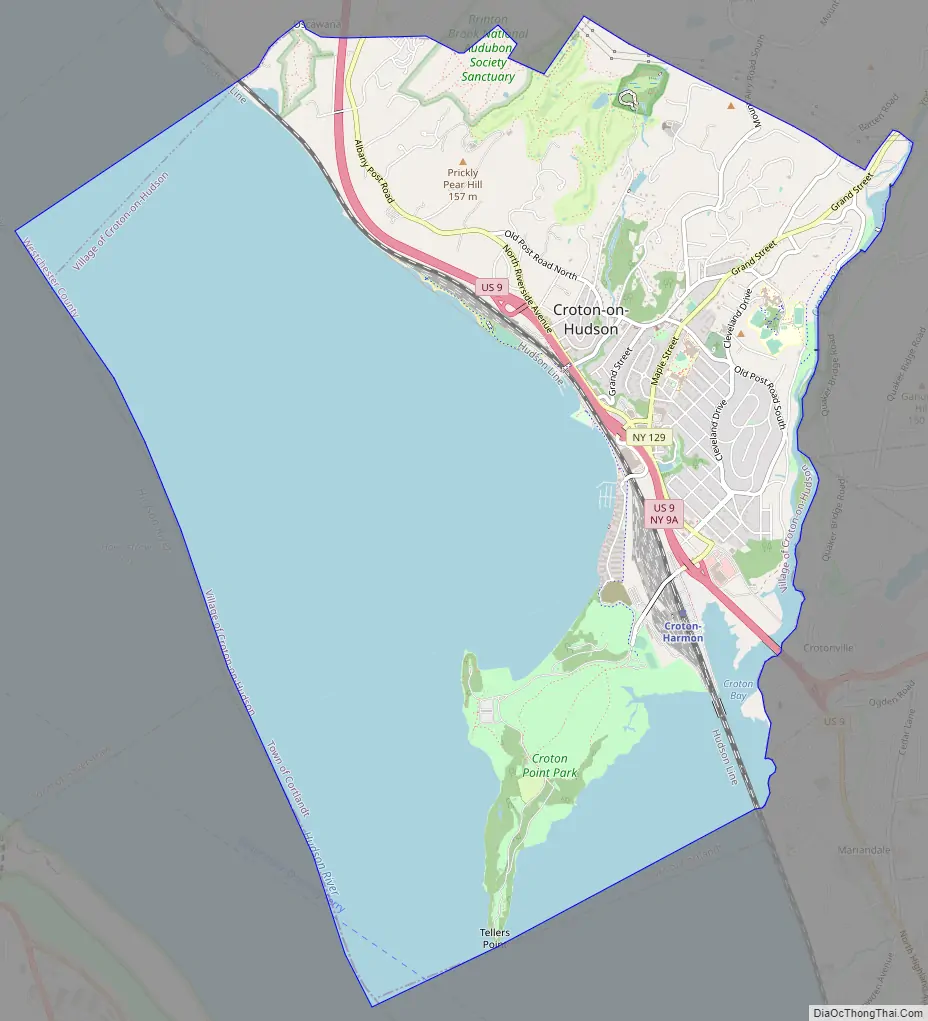
Croton-on-Hudson Road Map
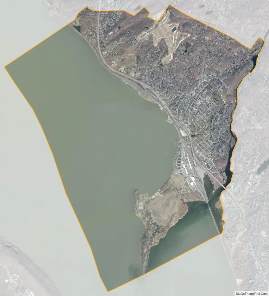
Croton-on-Hudson city Satellite Map
Geography
Croton-on-Hudson is located at 41°12′15″N 73°53′10″W / 41.20417°N 73.88611°W / 41.20417; -73.88611 (41.204228, -73.886177) on the shores of the Hudson River. The zip codes are 10520 and 10521.
According to the United States Census Bureau, the village has a total area of 10.8 square miles (28.0 km), of which 4.8 square miles (12.4 km) is land and 6.1 square miles (15.8 km), or 56.06%, is water.
See also
Map of New York State and its subdivision:- Albany
- Allegany
- Bronx
- Broome
- Cattaraugus
- Cayuga
- Chautauqua
- Chemung
- Chenango
- Clinton
- Columbia
- Cortland
- Delaware
- Dutchess
- Erie
- Essex
- Franklin
- Fulton
- Genesee
- Greene
- Hamilton
- Herkimer
- Jefferson
- Kings
- Lake Ontario
- Lewis
- Livingston
- Madison
- Monroe
- Montgomery
- Nassau
- New York
- Niagara
- Oneida
- Onondaga
- Ontario
- Orange
- Orleans
- Oswego
- Otsego
- Putnam
- Queens
- Rensselaer
- Richmond
- Rockland
- Saint Lawrence
- Saratoga
- Schenectady
- Schoharie
- Schuyler
- Seneca
- Steuben
- Suffolk
- Sullivan
- Tioga
- Tompkins
- Ulster
- Warren
- Washington
- Wayne
- Westchester
- Wyoming
- Yates
- Alabama
- Alaska
- Arizona
- Arkansas
- California
- Colorado
- Connecticut
- Delaware
- District of Columbia
- Florida
- Georgia
- Hawaii
- Idaho
- Illinois
- Indiana
- Iowa
- Kansas
- Kentucky
- Louisiana
- Maine
- Maryland
- Massachusetts
- Michigan
- Minnesota
- Mississippi
- Missouri
- Montana
- Nebraska
- Nevada
- New Hampshire
- New Jersey
- New Mexico
- New York
- North Carolina
- North Dakota
- Ohio
- Oklahoma
- Oregon
- Pennsylvania
- Rhode Island
- South Carolina
- South Dakota
- Tennessee
- Texas
- Utah
- Vermont
- Virginia
- Washington
- West Virginia
- Wisconsin
- Wyoming


