Hillcrest is a hamlet incorporated in 1893 and census-designated place, in the town of Ramapo, Rockland County, New York, United States. It is located north of Spring Valley, east of Viola, south of New Square and New Hempstead, and west of New City. The population was 8,164 at the 2020 census.
It is a bedroom suburb of New York City, as many residents commute to employment in Manhattan (and, to a lesser extent, northern New Jersey) by bus (Red and Tan Lines), train (Metro-North Railroad) or automobile. It is primarily served by the Spring Valley post office.
| Name: | Hillcrest CDP |
|---|---|
| LSAD Code: | 57 |
| LSAD Description: | CDP (suffix) |
| State: | New York |
| County: | Rockland County |
| Elevation: | 512 ft (156 m) |
| Total Area: | 1.30 sq mi (3.38 km²) |
| Land Area: | 1.30 sq mi (3.38 km²) |
| Water Area: | 0.00 sq mi (0.00 km²) |
| Total Population: | 8,164 |
| Population Density: | 6,255.94/sq mi (2,415.46/km²) |
| FIPS code: | 3634693 |
| GNISfeature ID: | 0952813 |
Online Interactive Map
Click on ![]() to view map in "full screen" mode.
to view map in "full screen" mode.
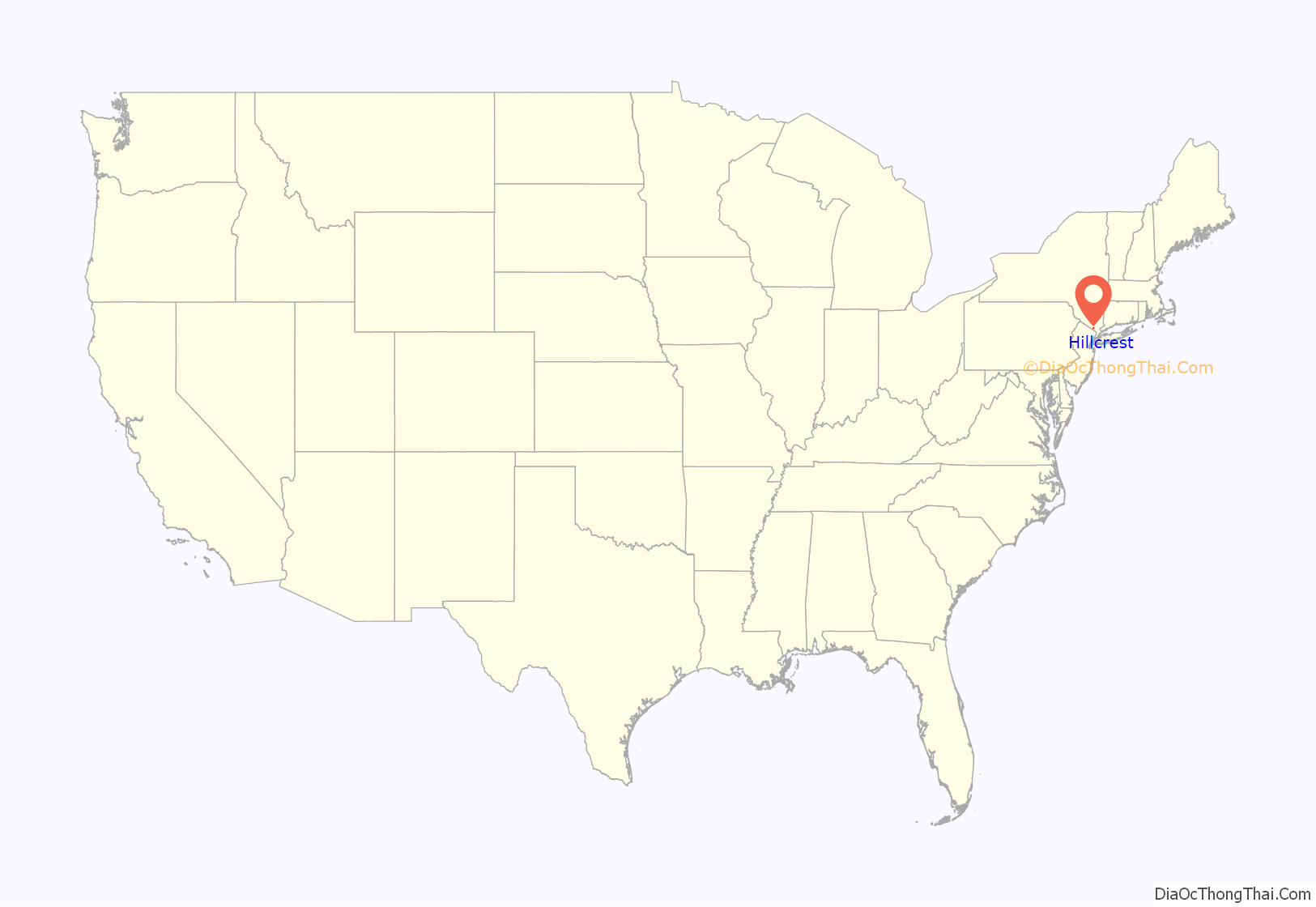
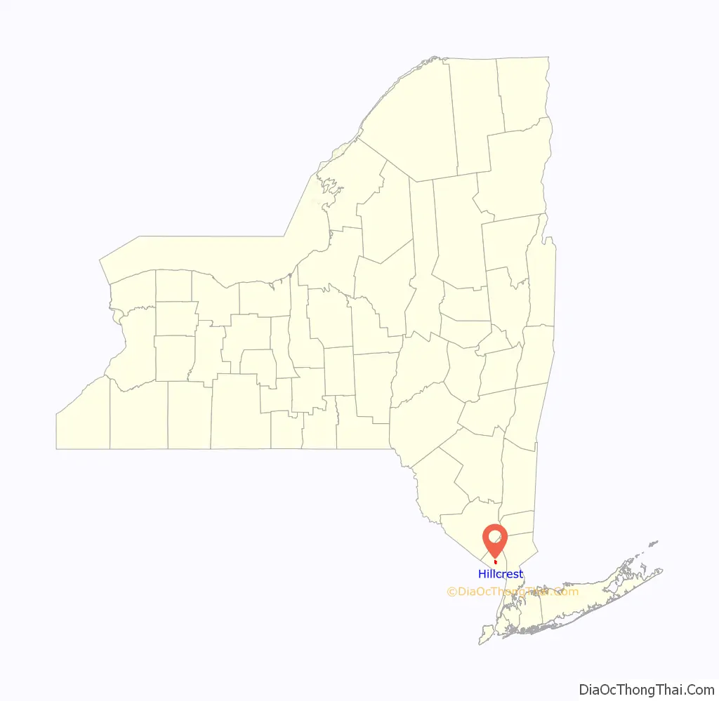
Hillcrest location map. Where is Hillcrest CDP?
History
In the early 1900s, Hillcrest became a summer retreat for working-class families from New York City; the families could access Hillcrest by train from New Jersey (after ferrying across to the western shore of the Hudson). In 1955, the Tappan Zee Bridge opened (connecting Tarrytown in Westchester County with Nyack in Rockland County), increasing traffic into the community and making access to New York City easier for the local population. Along with many other communities in the lower Hudson Valley, Hillcrest became a destination for White Flight from New York City in the 1950s through 1970s. Craig H. Long, the Town of Ramapo historian, said that many secular Jews were part of the first wave of settlers into Hillcrest after the opening of the Tappan Zee. In the 1960s, Hillcrest attracted Jews from the boroughs of Brooklyn and The Bronx in New York City; the Jewish people going to Hillcrest desired inexpensive starter homes, a short commute and a suburban atmosphere.
In the 1990s, the community attracted immigrants from Asia and the Caribbean, as well as new residents from Brooklyn and The Bronx; the newcomers moved to the community for the same reasons as the Jews did in previous decades. In the 1990s, the community lost a greater percentage of white people than any other place in New York. From 1980 to 2001, the community’s demographics changed from almost completely white to around one-fifth white. According to the 2000 Census, Hillcrest is a majority African-American community. David W. Chen of The New York Times said that “perhaps one of the reasons Hillcrest has managed to evolve so significantly yet anonymously” is the community’s hamlet status; he added that “even within Ramapo, Hillcrest is often overlooked.” Chen reported that many real estate agents and residents said that no one factor caused or contributed to the ethnic change. Many families moved because their children became adults and they wanted lower property tax rates or because they retired and moved to warmer climates. The significant exodus of Jews from Hillcrest in the 1990s resulted in the closure of many local businesses that had operated for more than thirty years, including kosher butcher shops, kosher delis and bakeries in Hillcrest and nearby communities such as Spring Valley and New City.
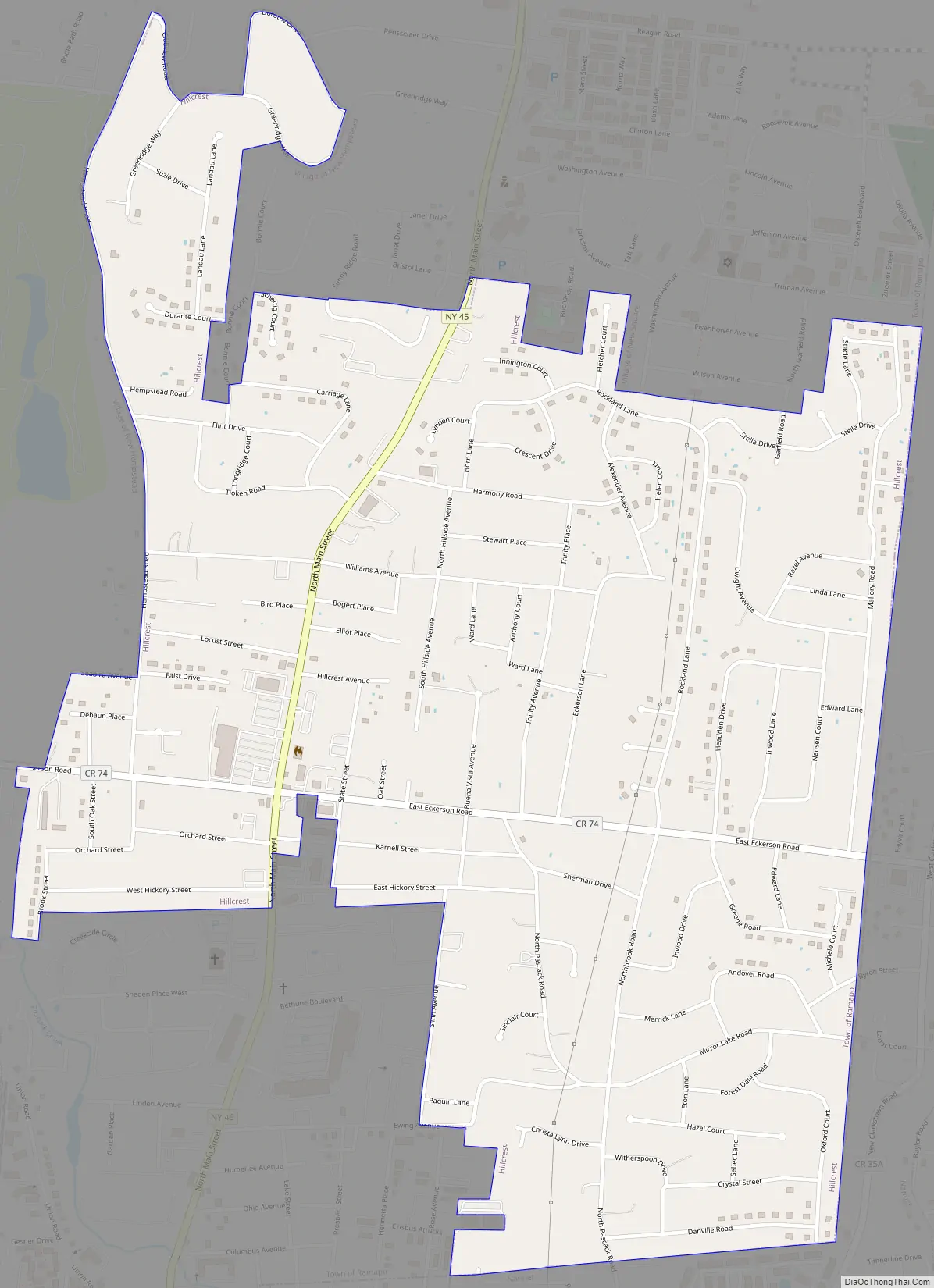
Hillcrest Road Map
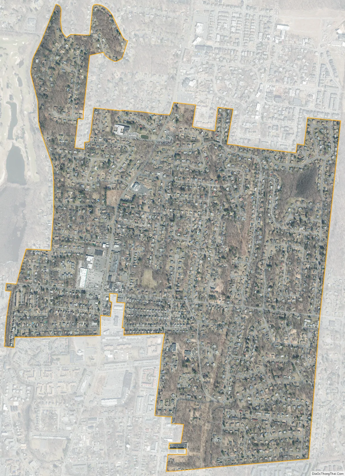
Hillcrest city Satellite Map
Geography
Hillcrest is located at 41°7′47″N 74°2′8″W / 41.12972°N 74.03556°W / 41.12972; -74.03556 (41.129645, -74.035527).
According to the United States Census Bureau, the CDP has a total area of 1.3 square miles (3.4 km), all land.
Hillcrest is located on the eastern edge of the town of Ramapo, approximately midway between the town of Haverstraw to the north and the New Jersey border (Bergen County) to the south. Hillcrest is bordered on the north by the villages of New Hempstead and New Square, on the south by the village of Spring Valley and by an unincorporated area of the town of Ramapo, on the east by an unincorporated area of the town of Clarkstown, and on the west by the villages of New Hempstead and Viola.
See also
Map of New York State and its subdivision:- Albany
- Allegany
- Bronx
- Broome
- Cattaraugus
- Cayuga
- Chautauqua
- Chemung
- Chenango
- Clinton
- Columbia
- Cortland
- Delaware
- Dutchess
- Erie
- Essex
- Franklin
- Fulton
- Genesee
- Greene
- Hamilton
- Herkimer
- Jefferson
- Kings
- Lake Ontario
- Lewis
- Livingston
- Madison
- Monroe
- Montgomery
- Nassau
- New York
- Niagara
- Oneida
- Onondaga
- Ontario
- Orange
- Orleans
- Oswego
- Otsego
- Putnam
- Queens
- Rensselaer
- Richmond
- Rockland
- Saint Lawrence
- Saratoga
- Schenectady
- Schoharie
- Schuyler
- Seneca
- Steuben
- Suffolk
- Sullivan
- Tioga
- Tompkins
- Ulster
- Warren
- Washington
- Wayne
- Westchester
- Wyoming
- Yates
- Alabama
- Alaska
- Arizona
- Arkansas
- California
- Colorado
- Connecticut
- Delaware
- District of Columbia
- Florida
- Georgia
- Hawaii
- Idaho
- Illinois
- Indiana
- Iowa
- Kansas
- Kentucky
- Louisiana
- Maine
- Maryland
- Massachusetts
- Michigan
- Minnesota
- Mississippi
- Missouri
- Montana
- Nebraska
- Nevada
- New Hampshire
- New Jersey
- New Mexico
- New York
- North Carolina
- North Dakota
- Ohio
- Oklahoma
- Oregon
- Pennsylvania
- Rhode Island
- South Carolina
- South Dakota
- Tennessee
- Texas
- Utah
- Vermont
- Virginia
- Washington
- West Virginia
- Wisconsin
- Wyoming


