South Nyack is a hamlet and census-designated place in the town of Orangetown in Rockland County, New York, United States. It is located north of Grand View-on-Hudson, northeast of Orangeburg, east of Blauvelt State Park, south of Nyack and west of the Hudson River. The hamlet is the western terminus of the Tappan Zee Bridge. Its population was 3,510 at the 2010 census. The hamlet was formerly incorporated as a village from 1878 until 2022.
| Name: | South Nyack village |
|---|---|
| LSAD Code: | 47 |
| LSAD Description: | village (suffix) |
| State: | New York |
| County: | Rockland County |
| Incorporated: | 1878 |
| Elevation: | 72 ft (22 m) |
| Total Area: | 1.68 sq mi (4.35 km²) |
| Land Area: | 0.60 sq mi (1.56 km²) |
| Water Area: | 1.08 sq mi (2.79 km²) |
| Total Population: | 2,699 |
| Population Density: | 4,483.39/sq mi (1,729.64/km²) |
| ZIP code: | 10960 |
| Area code: | 845 |
| FIPS code: | 3669441 |
| GNISfeature ID: | 0965828 |
| Website: | southnyack.ny.gov |
Online Interactive Map
Click on ![]() to view map in "full screen" mode.
to view map in "full screen" mode.
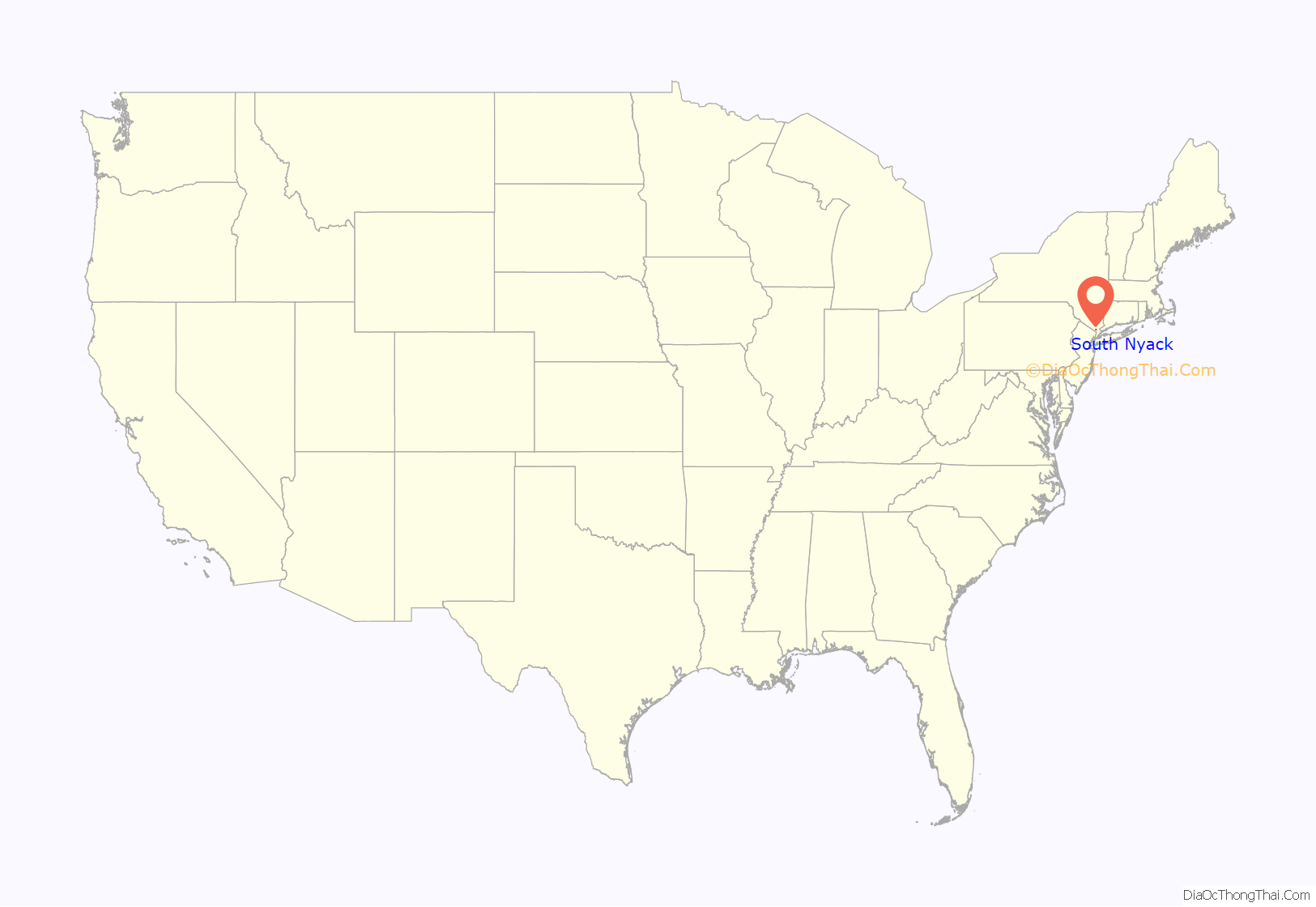
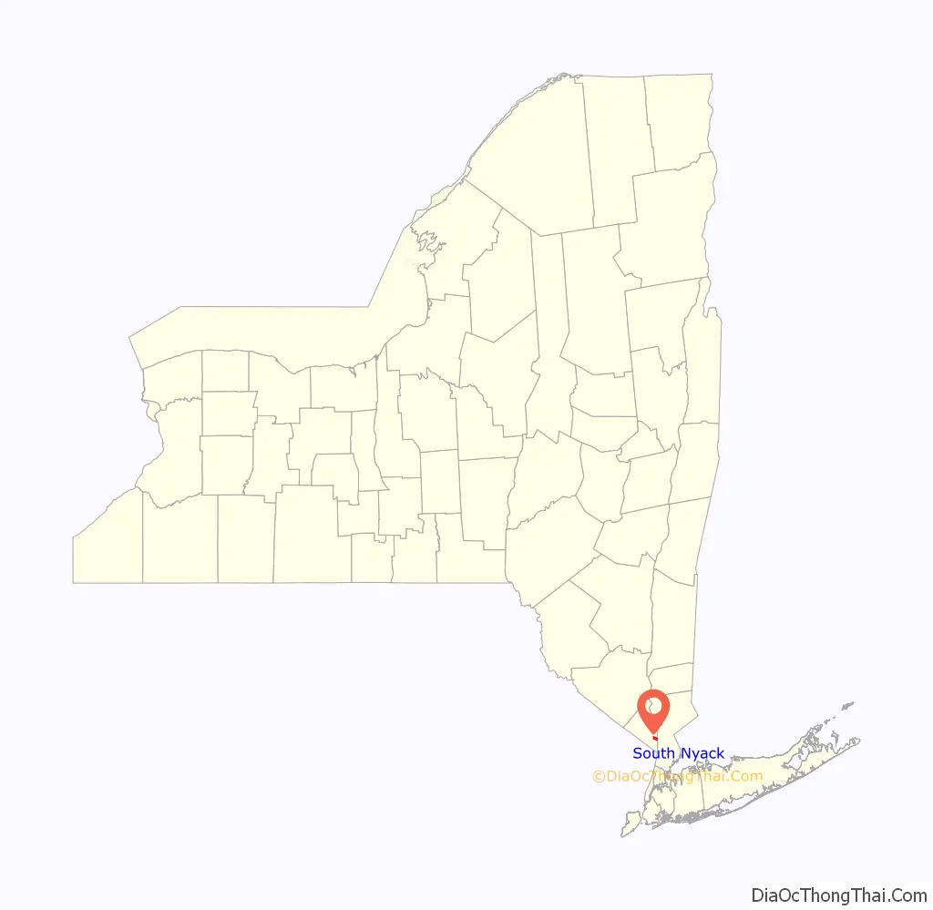
South Nyack location map. Where is South Nyack village?
History
Following the extension of the Northern Branch of The New Jersey Railroad into the area in the mid-19th century, rapid growth ensued. Town government no longer being seen as an effective means of dealing with the area’s needs, village incorporation was discussed. Fearing higher taxes, those in what would have become the northern part of Nyack village formed their own municipal corporation first, named Upper Nyack. Nyack village still incorporated, although without this northern portion. Residents in the southern part of Nyack village, however, soon became dissatisfied with the notion of paying taxes that more heavily benefitted the rest of the village. After succeeding in dissolving Nyack’s corporation, the southern portion of the former village incorporated as the village of South Nyack. The area between Upper Nyack and South Nyack was reincorporated thereafter, again as Nyack.
On December 17, 2020 residents voted 508-292 to dissolve the village in favor of becoming an unincorporated area within the town of Orangetown. The dissolution vote did not take immediate effect, and the village continued to exist until March 31, 2022, after which it became a hamlet within the Town of Orangetown.
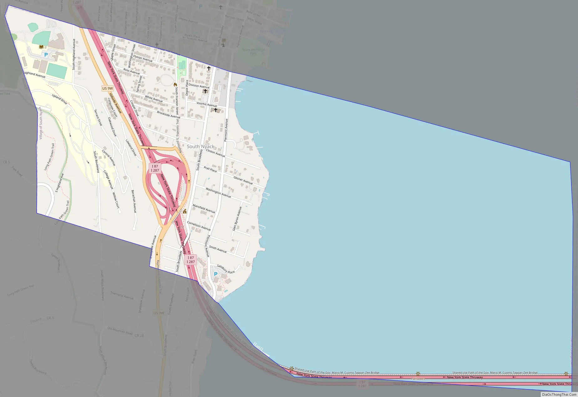
South Nyack Road Map
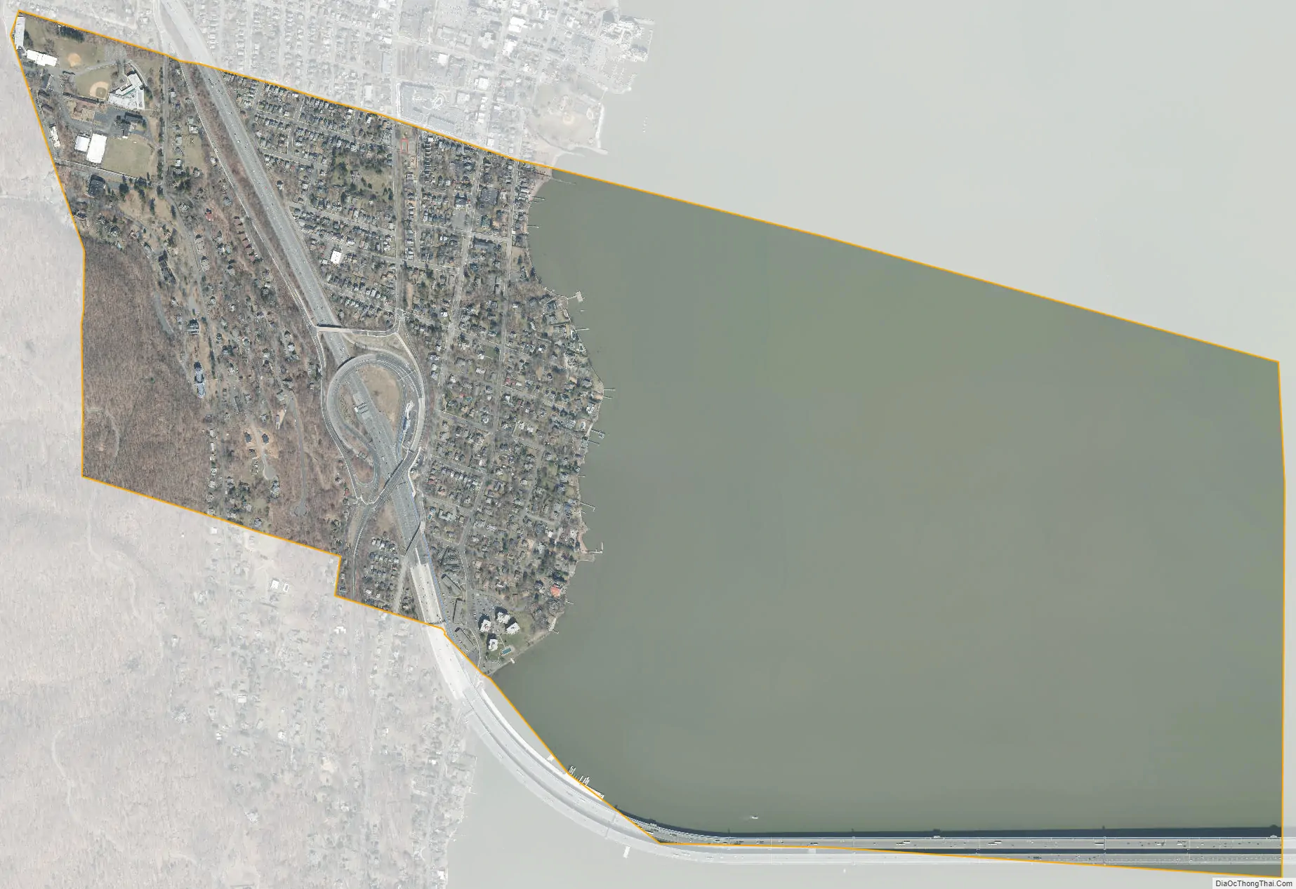
South Nyack city Satellite Map
Geography
According to the United States Census Bureau, the hamlet has a total area of 1.7 square miles (4.4 km), of which 0.6 square miles (1.6 km) is land and 1.1 square miles (2.8 km), or 63.31%, is water. South Nyack is located adjacent to the Hudson River.
The New York State Thruway (Interstate 87) passes through the hamlet after passing over the Tappan Zee Bridge.
See also
Map of New York State and its subdivision:- Albany
- Allegany
- Bronx
- Broome
- Cattaraugus
- Cayuga
- Chautauqua
- Chemung
- Chenango
- Clinton
- Columbia
- Cortland
- Delaware
- Dutchess
- Erie
- Essex
- Franklin
- Fulton
- Genesee
- Greene
- Hamilton
- Herkimer
- Jefferson
- Kings
- Lake Ontario
- Lewis
- Livingston
- Madison
- Monroe
- Montgomery
- Nassau
- New York
- Niagara
- Oneida
- Onondaga
- Ontario
- Orange
- Orleans
- Oswego
- Otsego
- Putnam
- Queens
- Rensselaer
- Richmond
- Rockland
- Saint Lawrence
- Saratoga
- Schenectady
- Schoharie
- Schuyler
- Seneca
- Steuben
- Suffolk
- Sullivan
- Tioga
- Tompkins
- Ulster
- Warren
- Washington
- Wayne
- Westchester
- Wyoming
- Yates
- Alabama
- Alaska
- Arizona
- Arkansas
- California
- Colorado
- Connecticut
- Delaware
- District of Columbia
- Florida
- Georgia
- Hawaii
- Idaho
- Illinois
- Indiana
- Iowa
- Kansas
- Kentucky
- Louisiana
- Maine
- Maryland
- Massachusetts
- Michigan
- Minnesota
- Mississippi
- Missouri
- Montana
- Nebraska
- Nevada
- New Hampshire
- New Jersey
- New Mexico
- New York
- North Carolina
- North Dakota
- Ohio
- Oklahoma
- Oregon
- Pennsylvania
- Rhode Island
- South Carolina
- South Dakota
- Tennessee
- Texas
- Utah
- Vermont
- Virginia
- Washington
- West Virginia
- Wisconsin
- Wyoming


