Verplanck is a hamlet and census-designated place (CDP) in the town of Cortlandt, Westchester County, New York, United States. As of the 2010 census it had a population of 1,729. Both the hamlet and Verplanck’s Point derive their name from the activities of the Verplanck family, established in New Amsterdam by Abraham Isaacsen Verplanck in the 1630s.
| Name: | Verplanck CDP |
|---|---|
| LSAD Code: | 57 |
| LSAD Description: | CDP (suffix) |
| State: | New York |
| County: | Westchester County |
| Elevation: | 59 ft (18 m) |
| Total Area: | 1.35 sq mi (3.51 km²) |
| Land Area: | 0.60 sq mi (1.56 km²) |
| Water Area: | 0.75 sq mi (1.95 km²) |
| Total Population: | 1,535 |
| Population Density: | 2,549.83/sq mi (984.91/km²) |
| ZIP code: | 10596 |
| Area code: | 914 |
| FIPS code: | 3677211 |
| GNISfeature ID: | 0968509 |
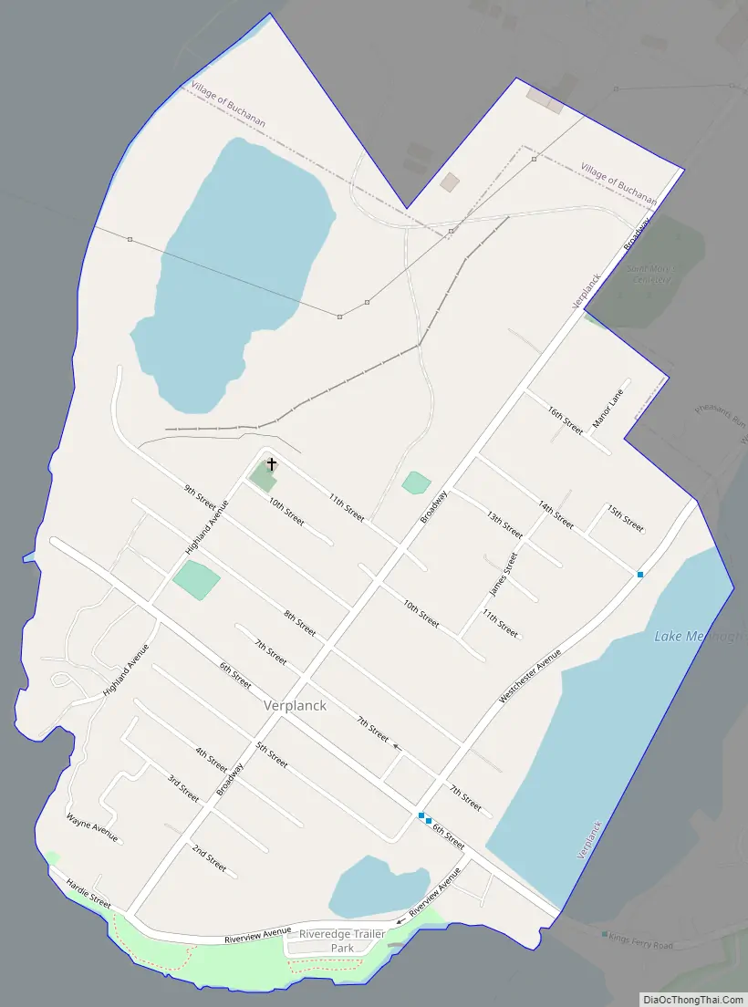
Online Interactive Map
Click on ![]() to view map in "full screen" mode.
to view map in "full screen" mode.
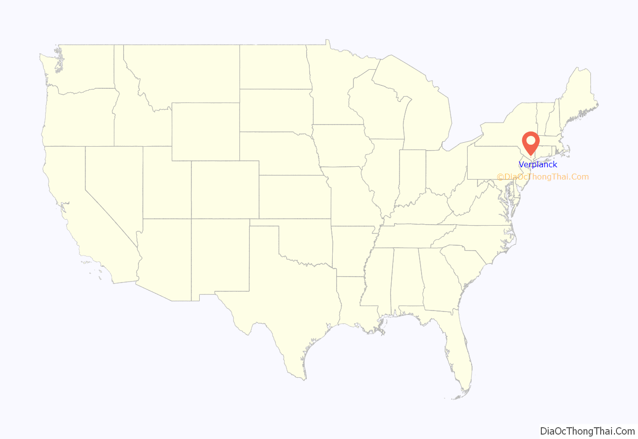
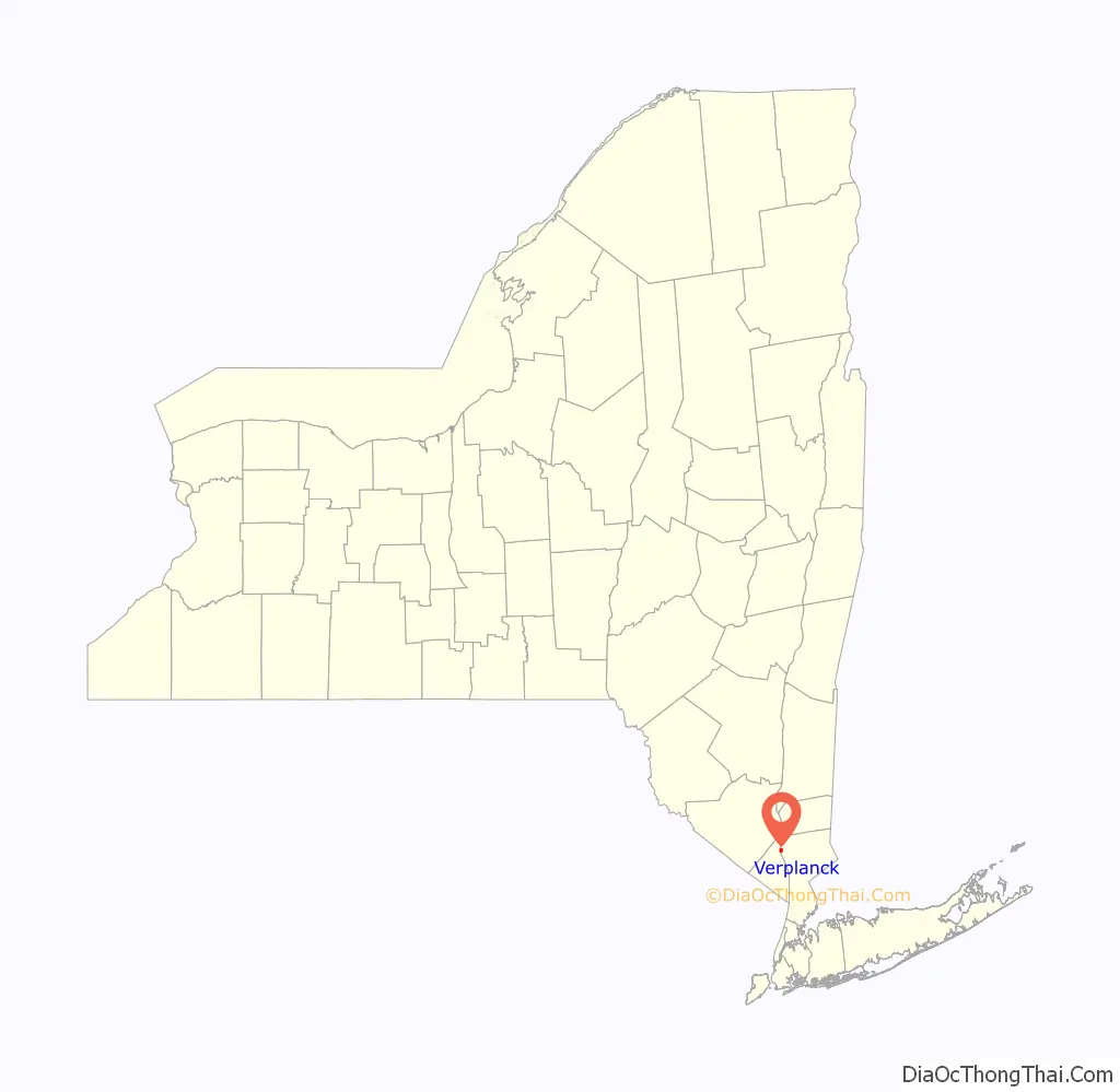
Verplanck location map. Where is Verplanck CDP?
History
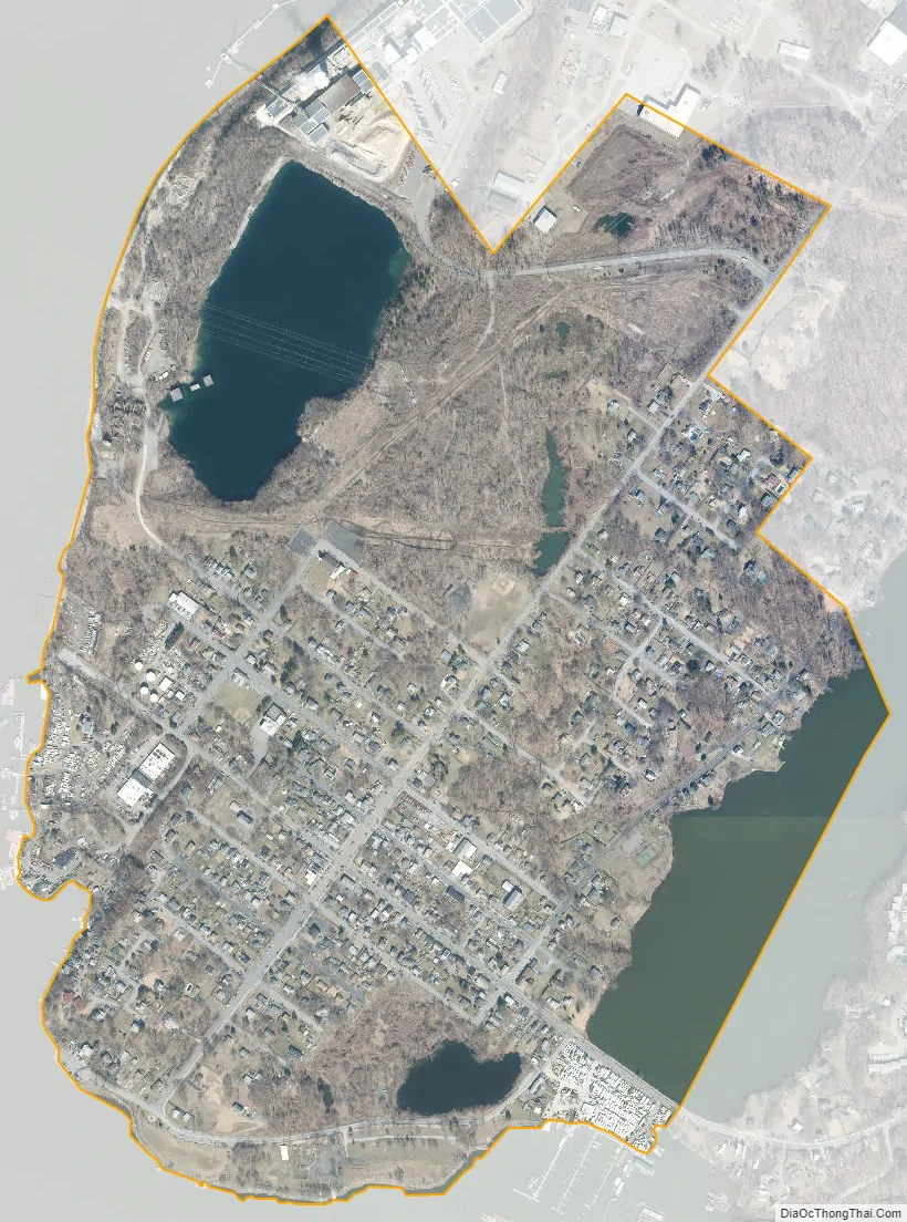
Verplanck lies on a small peninsula in the extreme northwest of the town of Cortlandt. Tucked along the east bank of the Hudson River, it is bordered by Cortlandt’s village of Buchanan and hamlet of Montrose.
Verplanck’s Point
Verplanck’s Point lies at Verplanck’s southernmost end. The Continental Army of General George Washington encamped at Verplanck’s Point during the Revolutionary War, as a staging area for crossing the Hudson at adjacent Kings Ferry, lying between the Point and Montrose. Pursued by the army of British General William Howe, it crossed to Stony Point on the west bank, en route to Fort Lee, New Jersey. From there it continued south to Yorktown, Virginia, where Washington received the surrender of General Charles Cornwallis on October 19, 1781.
A year later, in September 1782, Verplanck’s Point, an alluvial plain and natural place for an encampment during the inherent bottleneck of an arduous and slow ferrying of men and materiel across the river, again became the site of the Continental Army’s bivouac upon crossing the Hudson.
John Trumbull painted a full-length oil portrait of Washington at Verplanck’s Point, and gifted it to Martha Washington. Based on its success he produced a much larger work scaled up to nearly four times its size for the City of New York, George Washington, substituting Evacuation Day of New York City in 1783 as its backdrop for departing French commander-in-chief General Rochambeau’s review of Washington’s Continental Army troops on September 14, 1782.
Verplanck Road Map
Verplanck city Satellite Map
Geography
Verplanck is located at 41°15′11″N 73°57′35″W / 41.25306°N 73.95972°W / 41.25306; -73.95972 (41.252930, -73.959664).
According to the United States Census Bureau, the hamlet has a total area of 0.8 square miles (2.1 km), of which 0.7 square miles (1.8 km) is land and 0.1 square miles (0.26 km), or 11.54%, is water.
See also
Map of New York State and its subdivision:- Albany
- Allegany
- Bronx
- Broome
- Cattaraugus
- Cayuga
- Chautauqua
- Chemung
- Chenango
- Clinton
- Columbia
- Cortland
- Delaware
- Dutchess
- Erie
- Essex
- Franklin
- Fulton
- Genesee
- Greene
- Hamilton
- Herkimer
- Jefferson
- Kings
- Lake Ontario
- Lewis
- Livingston
- Madison
- Monroe
- Montgomery
- Nassau
- New York
- Niagara
- Oneida
- Onondaga
- Ontario
- Orange
- Orleans
- Oswego
- Otsego
- Putnam
- Queens
- Rensselaer
- Richmond
- Rockland
- Saint Lawrence
- Saratoga
- Schenectady
- Schoharie
- Schuyler
- Seneca
- Steuben
- Suffolk
- Sullivan
- Tioga
- Tompkins
- Ulster
- Warren
- Washington
- Wayne
- Westchester
- Wyoming
- Yates
- Alabama
- Alaska
- Arizona
- Arkansas
- California
- Colorado
- Connecticut
- Delaware
- District of Columbia
- Florida
- Georgia
- Hawaii
- Idaho
- Illinois
- Indiana
- Iowa
- Kansas
- Kentucky
- Louisiana
- Maine
- Maryland
- Massachusetts
- Michigan
- Minnesota
- Mississippi
- Missouri
- Montana
- Nebraska
- Nevada
- New Hampshire
- New Jersey
- New Mexico
- New York
- North Carolina
- North Dakota
- Ohio
- Oklahoma
- Oregon
- Pennsylvania
- Rhode Island
- South Carolina
- South Dakota
- Tennessee
- Texas
- Utah
- Vermont
- Virginia
- Washington
- West Virginia
- Wisconsin
- Wyoming


