Arnold is a city in Westmoreland County, Pennsylvania, United States. It is part of the Greater Pittsburgh metropolitan area. The population was 5,157 at the 2010 census.
| Name: | Arnold city |
|---|---|
| LSAD Code: | 25 |
| LSAD Description: | city (suffix) |
| State: | Pennsylvania |
| County: | Westmoreland County |
| Total Area: | 0.85 sq mi (2.21 km²) |
| Land Area: | 0.73 sq mi (1.90 km²) |
| Water Area: | 0.12 sq mi (0.31 km²) |
| Total Population: | 4,772 |
| Population Density: | 6,519.13/sq mi (2,516.92/km²) |
| FIPS code: | 4203088 |
Online Interactive Map
Click on ![]() to view map in "full screen" mode.
to view map in "full screen" mode.
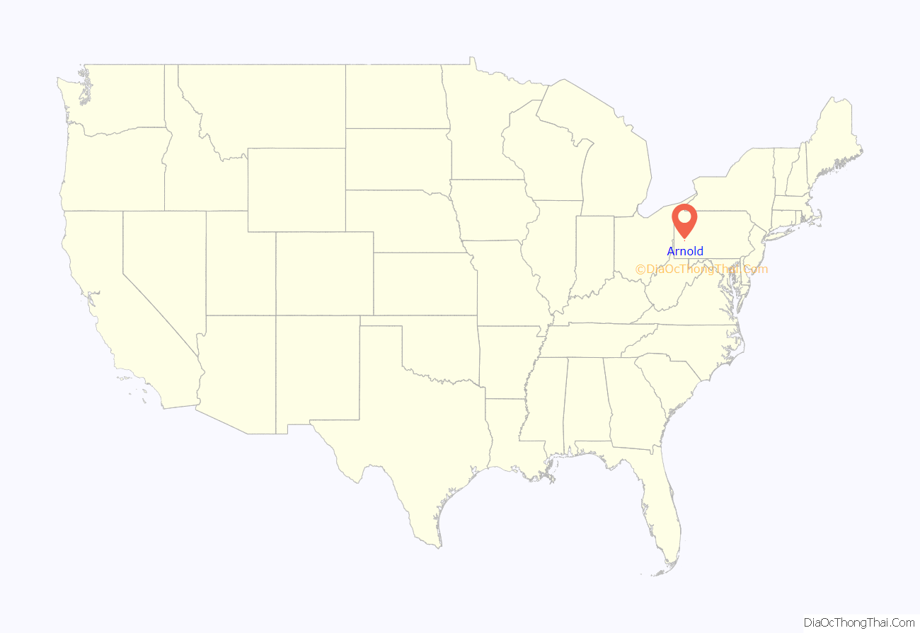
Arnold location map. Where is Arnold city?
History
Present-day Westmoreland County was part of the hunting reserves of the Iroquois Indians. White colonists began to penetrate the area in the 1750s, and circa 1781 Robert McCrea purchased the land on which Arnold is situated. William Jack acquired the property and later passed it on to Wilson Jack. The area around Arnold was first settled in 1852 by Major Andrew Arnold, who grew up in Kittanning.
With the creation of Westmoreland County in 1773, the area that became Arnold was originally part of Burrell, and later Lower Burrell, townships. Arnold was then part of the newly created city of New Kensington from 1891 until it was separately incorporated as a borough in January 1896, and as a third-class city in 1939. Arnold is governed under Pennsylvania’s third-class city code, with a mayor, treasurer, controller, and four council members elected at-large. Past mayors of Arnold have been M. Frank Horne (1939-1960), Alfred Colaianni (1960-1963), Willie DeMao (1963-2004), John Campbell (2004–2012), and Larry Milito (2012-2016).
Karen Peconi-Biriccochi, a Democrat, took office in 2016. In 2018, during protests over the shooting of an unarmed African American teen by a white police officer in East Pittsburgh, Peconi authored a social media post that urged law enforcement to “bring the hoses” against the protesters. Calls for her resignation resulted in city council formally requesting the state legislature to remove her from office. On May 21, 2019 Peconi-Biriccochi was defeated by Councilman Joseph Bia II in the Democratic primary, effectively ending her bid for re-election in the heavily Democratic city. Bia was subsequently elected to a full term as mayor in November 2019 and took office in 2020.
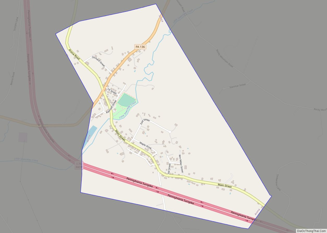
Arnold Road Map
Arnold city Satellite Map
Geography
Arnold is located on the eastern shore of the Allegheny River, northeast of Pittsburgh. According to the U.S. Census Bureau, the city has a total area of 0.8 square miles (2.1 km), of which 0.7 square miles (1.8 km) is land and 0.1 square miles (0.26 km) (6.41%) is water.
See also
Map of Pennsylvania State and its subdivision:- Adams
- Allegheny
- Armstrong
- Beaver
- Bedford
- Berks
- Blair
- Bradford
- Bucks
- Butler
- Cambria
- Cameron
- Carbon
- Centre
- Chester
- Clarion
- Clearfield
- Clinton
- Columbia
- Crawford
- Cumberland
- Dauphin
- Delaware
- Elk
- Erie
- Fayette
- Forest
- Franklin
- Fulton
- Greene
- Huntingdon
- Indiana
- Jefferson
- Juniata
- Lackawanna
- Lancaster
- Lawrence
- Lebanon
- Lehigh
- Luzerne
- Lycoming
- Mc Kean
- Mercer
- Mifflin
- Monroe
- Montgomery
- Montour
- Northampton
- Northumberland
- Perry
- Philadelphia
- Pike
- Potter
- Schuylkill
- Snyder
- Somerset
- Sullivan
- Susquehanna
- Tioga
- Union
- Venango
- Warren
- Washington
- Wayne
- Westmoreland
- Wyoming
- York
- Alabama
- Alaska
- Arizona
- Arkansas
- California
- Colorado
- Connecticut
- Delaware
- District of Columbia
- Florida
- Georgia
- Hawaii
- Idaho
- Illinois
- Indiana
- Iowa
- Kansas
- Kentucky
- Louisiana
- Maine
- Maryland
- Massachusetts
- Michigan
- Minnesota
- Mississippi
- Missouri
- Montana
- Nebraska
- Nevada
- New Hampshire
- New Jersey
- New Mexico
- New York
- North Carolina
- North Dakota
- Ohio
- Oklahoma
- Oregon
- Pennsylvania
- Rhode Island
- South Carolina
- South Dakota
- Tennessee
- Texas
- Utah
- Vermont
- Virginia
- Washington
- West Virginia
- Wisconsin
- Wyoming
