Audubon is a census-designated place (CDP) in Lower Providence Township, Montgomery County, Pennsylvania, United States. It was named for naturalist John James Audubon, who lived there as a young man. The population was 8,433 at the 2010 census.
| Name: | Audubon CDP |
|---|---|
| LSAD Code: | 57 |
| LSAD Description: | CDP (suffix) |
| State: | Pennsylvania |
| County: | Montgomery County |
| Elevation: | 194 ft (59 m) |
| Total Area: | 4.60 sq mi (11.92 km²) |
| Land Area: | 4.59 sq mi (11.89 km²) |
| Water Area: | 0.01 sq mi (0.03 km²) |
| Total Population: | 8,688 |
| Population Density: | 1,893.22/sq mi (730.91/km²) |
| FIPS code: | 4203544 |
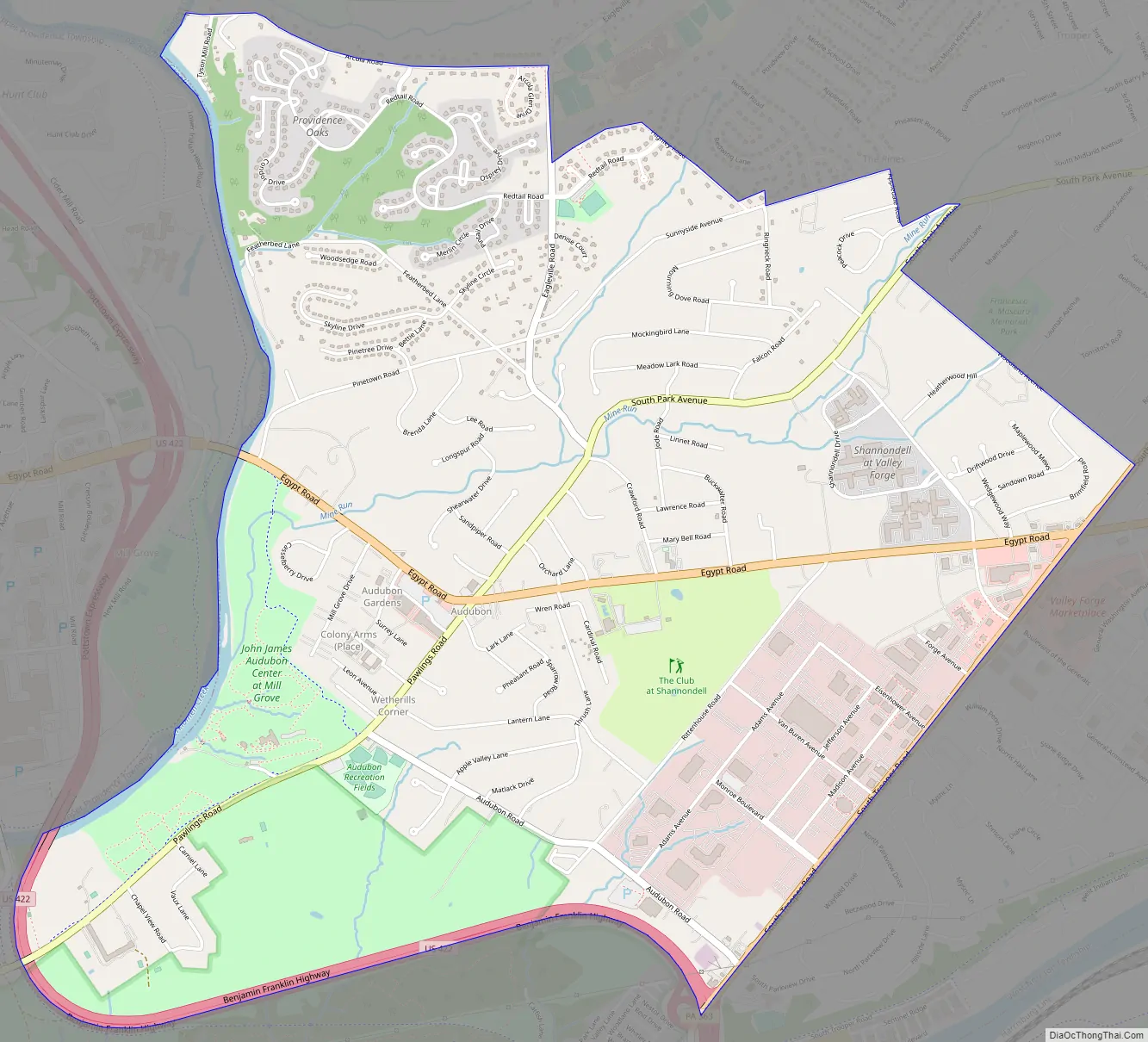
Online Interactive Map
Click on ![]() to view map in "full screen" mode.
to view map in "full screen" mode.
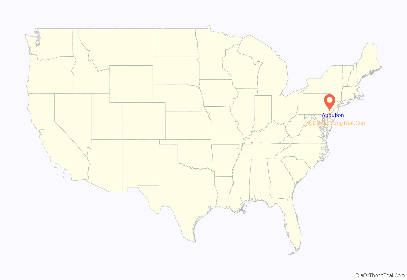
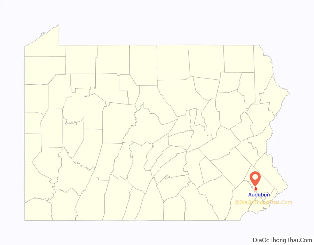
Audubon location map. Where is Audubon CDP?
History
The villages that have comprised Lower Providence Township since the early eighteenth century include Evansburg, Shannonville (now called Audubon), Eagleville, and Providence Square.
Lower Providence Township is currently bounded on the west by Upper Providence Township, on the northeast by Perkiomen and Worcester townships, on the southeast by West Norriton Township, and on the south by the Schuylkill River. The area of the township is 9,143 acres (37.00 km). Red shale predominates in the soils of this part of Montgomery County. Many years ago, lead mines were worked near Perkiomen Creek at Oaks, Pennsylvania, but did not generate profits. The mines were opened in 1800 and were being operated in 1818 by a Mr. Wetherell. The discovery of copper followed that of lead, and in January, 1848, the Perkiomen Mining Association was formed. Its land cost about $10,000; much costly machinery was placed in position and a shaft was dug. Many thousands of tons of copper were unearthed over the years until deposits were exhausted.
Shannonville was named after a large, influential family in 1823, when a post office was established there. Jack’s tavern—the old Bud’s Bar—was opened here as well. Mr. Shannon was a prosperous pig farmer and hence the town gained the nickname “Hogtown”.
Present-day Audubon was christened in 1899 in honor of early-19th century resident John James Audubon, who resided at Mill Grove, located at the intersection of Audubon and Pawlings Roads.
Audubon Road Map
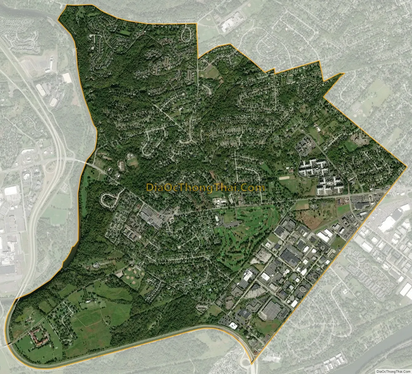
Audubon city Satellite Map
Geography
Audubon is located in the southwest section of Lower Providence Township, opposite Valley Forge National Historic Park, and includes “The Peninsula” formed by the Schuylkill River and Perkiomen Creek. According to the U.S. Census Bureau, the CDP has a total area of 4.5 square miles (12 km), of which 0.04 square miles (0.10 km), or 0.44%, is water.
See also
Map of Pennsylvania State and its subdivision:- Adams
- Allegheny
- Armstrong
- Beaver
- Bedford
- Berks
- Blair
- Bradford
- Bucks
- Butler
- Cambria
- Cameron
- Carbon
- Centre
- Chester
- Clarion
- Clearfield
- Clinton
- Columbia
- Crawford
- Cumberland
- Dauphin
- Delaware
- Elk
- Erie
- Fayette
- Forest
- Franklin
- Fulton
- Greene
- Huntingdon
- Indiana
- Jefferson
- Juniata
- Lackawanna
- Lancaster
- Lawrence
- Lebanon
- Lehigh
- Luzerne
- Lycoming
- Mc Kean
- Mercer
- Mifflin
- Monroe
- Montgomery
- Montour
- Northampton
- Northumberland
- Perry
- Philadelphia
- Pike
- Potter
- Schuylkill
- Snyder
- Somerset
- Sullivan
- Susquehanna
- Tioga
- Union
- Venango
- Warren
- Washington
- Wayne
- Westmoreland
- Wyoming
- York
- Alabama
- Alaska
- Arizona
- Arkansas
- California
- Colorado
- Connecticut
- Delaware
- District of Columbia
- Florida
- Georgia
- Hawaii
- Idaho
- Illinois
- Indiana
- Iowa
- Kansas
- Kentucky
- Louisiana
- Maine
- Maryland
- Massachusetts
- Michigan
- Minnesota
- Mississippi
- Missouri
- Montana
- Nebraska
- Nevada
- New Hampshire
- New Jersey
- New Mexico
- New York
- North Carolina
- North Dakota
- Ohio
- Oklahoma
- Oregon
- Pennsylvania
- Rhode Island
- South Carolina
- South Dakota
- Tennessee
- Texas
- Utah
- Vermont
- Virginia
- Washington
- West Virginia
- Wisconsin
- Wyoming


