Bally is a borough in Berks County, Pennsylvania, United States. The population was 1,090 at the 2010 census.
| Name: | Bally borough |
|---|---|
| LSAD Code: | 21 |
| LSAD Description: | borough (suffix) |
| State: | Pennsylvania |
| County: | Berks County |
| Incorporated: | 1912 |
| Elevation: | 259 ft (79 m) |
| Total Area: | 0.51 sq mi (1.33 km²) |
| Land Area: | 0.51 sq mi (1.33 km²) |
| Water Area: | 0.00 sq mi (0.00 km²) |
| Total Population: | 1,228 |
| Population Density: | 2,393.76/sq mi (924.36/km²) |
| ZIP code: | 19503 |
| Area code: | 610 |
| FIPS code: | 4203984 |
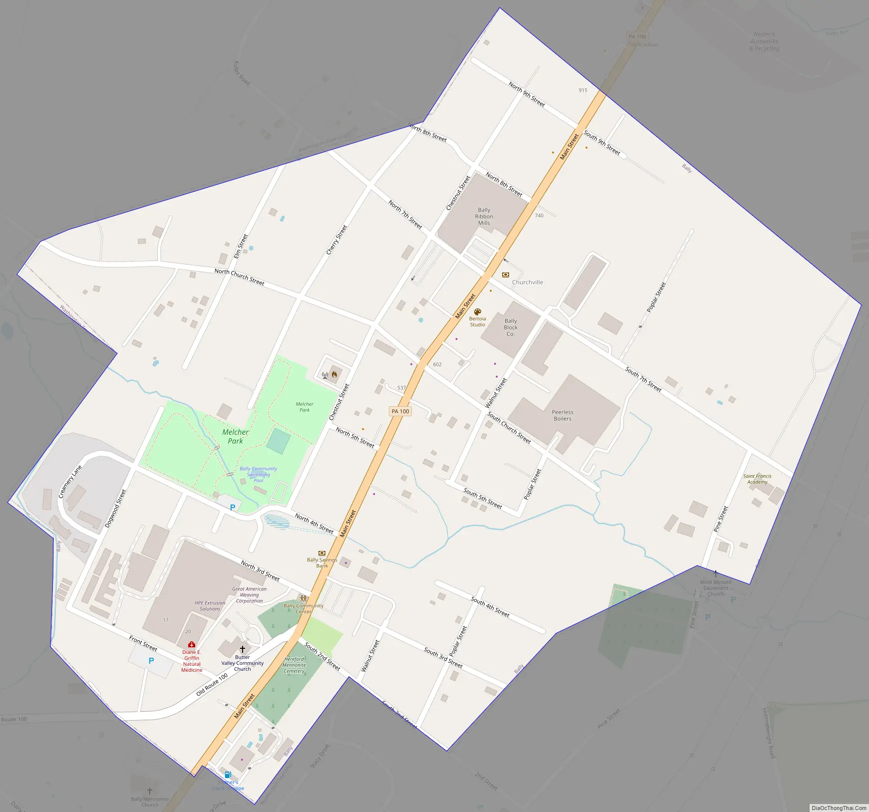
Online Interactive Map
Click on ![]() to view map in "full screen" mode.
to view map in "full screen" mode.
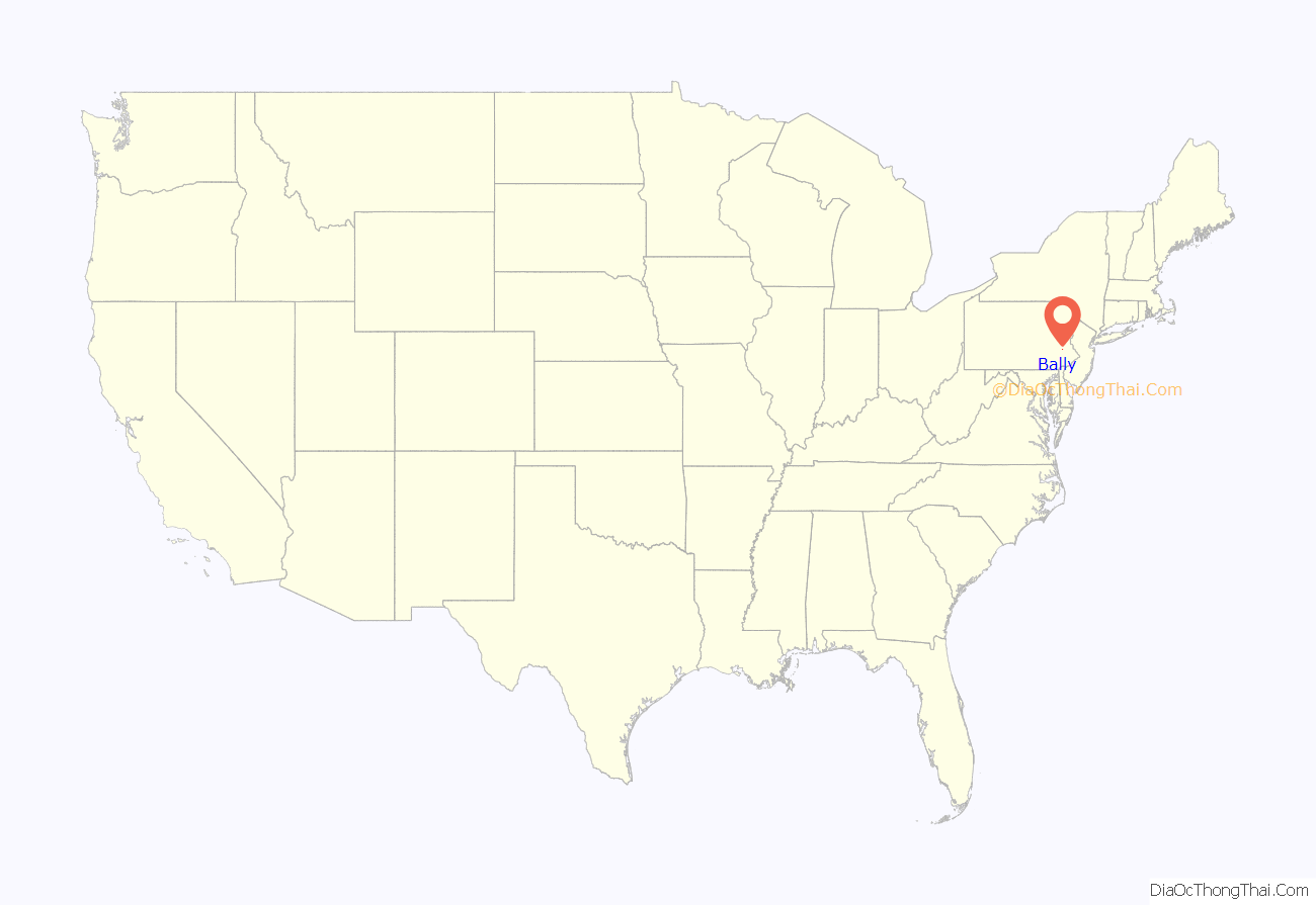
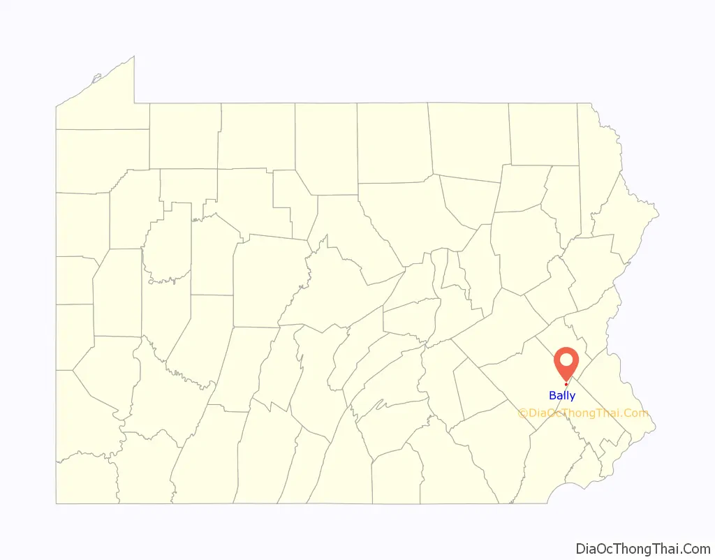
Bally location map. Where is Bally borough?
History
Bally was originally called Goshenhoppen, possibly deriving from an Indian word meaning meeting place. Others claim the name derives from German settlers calling the area their haven or Hafen in German, eventually becoming Goshenhoppen. Mennonites and Catholics settled it in the early 18th century. Clergyman Ulrich Beidler erected the first house of worship, the Mennonite Church in 1731. Father Theodore Schneider, a Jesuit priest, came to the area in 1741 and established what would be just the third Catholic mission church in the 13 original colonies. On land received from the Mennonite community, Father Schneider built St. Paul’s Chapel in 1743. St. Paul’s is now known as the Most Blessed Sacrament Church, and it is the oldest existing Catholic place of worship in Pennsylvania and the fourth oldest Catholic structure in the thirteen original colonies.
In 1743, Father Schneider started a Catholic school at the mission church. The school, originally called St. Aloysius Academy, also marked the beginning of Catholic education in the 13 original colonies. After several name changes, it is currently known as St. Francis Academy, and is the oldest currently operating co-educational Catholic school in the nation.
To reflect the many churches in the town (as there were also several other churches in the area of different denominations), Goshenhoppen was renamed Churchville. When the post office was established in 1883, the townsfolk changed the name to “Bally” in memory of Fr. Augustine Bally, S.J., a Catholic pastor beloved by all, who had died the previous year. Bally was incorporated as a borough in 1912, with Henry Eddinger, son of Frederick K. and Sophia (Miller) Eddinger, appointed as the first Burgess. Bally has traditionally been a home of many Pennsylvania Dutch settlers and their descendants.
In 1912, Bally resident Annie Clemmer Funk, a Mennonite missionary to India, died during the sinking of the RMS Titanic. She was en route to Bally to visit her ailing mother, and reportedly gave up her seat in a lifeboat to another passenger.
Bally Road Map
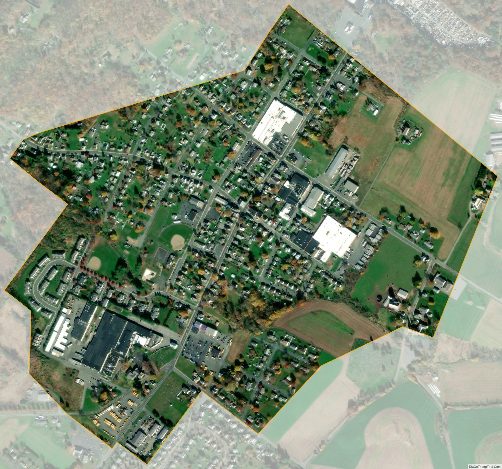
Bally city Satellite Map
Geography
Bally is located at 40°24′4″N 75°35′18″W / 40.40111°N 75.58833°W / 40.40111; -75.58833 (40.401044, -75.588365). According to the U.S. Census Bureau, the borough has a total area of 0.5 square miles (1.3 km), all land. It is surrounded by Washington Township.
See also
Map of Pennsylvania State and its subdivision:- Adams
- Allegheny
- Armstrong
- Beaver
- Bedford
- Berks
- Blair
- Bradford
- Bucks
- Butler
- Cambria
- Cameron
- Carbon
- Centre
- Chester
- Clarion
- Clearfield
- Clinton
- Columbia
- Crawford
- Cumberland
- Dauphin
- Delaware
- Elk
- Erie
- Fayette
- Forest
- Franklin
- Fulton
- Greene
- Huntingdon
- Indiana
- Jefferson
- Juniata
- Lackawanna
- Lancaster
- Lawrence
- Lebanon
- Lehigh
- Luzerne
- Lycoming
- Mc Kean
- Mercer
- Mifflin
- Monroe
- Montgomery
- Montour
- Northampton
- Northumberland
- Perry
- Philadelphia
- Pike
- Potter
- Schuylkill
- Snyder
- Somerset
- Sullivan
- Susquehanna
- Tioga
- Union
- Venango
- Warren
- Washington
- Wayne
- Westmoreland
- Wyoming
- York
- Alabama
- Alaska
- Arizona
- Arkansas
- California
- Colorado
- Connecticut
- Delaware
- District of Columbia
- Florida
- Georgia
- Hawaii
- Idaho
- Illinois
- Indiana
- Iowa
- Kansas
- Kentucky
- Louisiana
- Maine
- Maryland
- Massachusetts
- Michigan
- Minnesota
- Mississippi
- Missouri
- Montana
- Nebraska
- Nevada
- New Hampshire
- New Jersey
- New Mexico
- New York
- North Carolina
- North Dakota
- Ohio
- Oklahoma
- Oregon
- Pennsylvania
- Rhode Island
- South Carolina
- South Dakota
- Tennessee
- Texas
- Utah
- Vermont
- Virginia
- Washington
- West Virginia
- Wisconsin
- Wyoming


