Adamstown (Pennsylvania Dutch: Adamschteddel) is a borough in Lancaster County and Berks County in the U.S. state of Pennsylvania. The population was 1,789 at the 2010 census. Of this, 1,772 were in Lancaster County and only 17 were in Berks County.
| Name: | Adamstown borough |
|---|---|
| LSAD Code: | 21 |
| LSAD Description: | borough (suffix) |
| State: | Pennsylvania |
| County: | Berks County, Lancaster County |
| Elevation: | 568 ft (173 m) |
| Total Area: | 1.39 sq mi (3.59 km²) |
| Land Area: | 1.38 sq mi (3.57 km²) |
| Water Area: | 0.01 sq mi (0.02 km²) |
| Total Population: | 1,938 |
| Population Density: | 1,404.35/sq mi (542.33/km²) |
| ZIP code: | 19501 |
| Area code: | 717 |
| FIPS code: | 4200364 |
| Website: | adamstownborough.org |
Online Interactive Map
Click on ![]() to view map in "full screen" mode.
to view map in "full screen" mode.
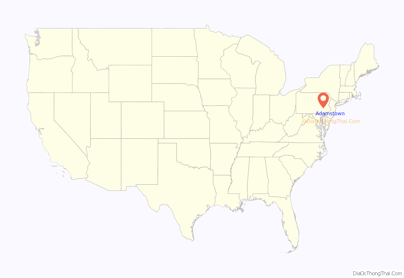
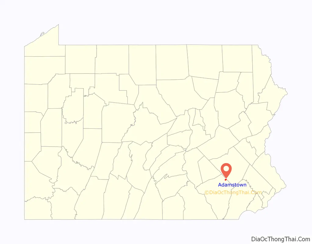
Adamstown location map. Where is Adamstown borough?
History
Adamstown was initially founded on July 4, 1761, by William Addams on the site of a former village of Native Americans, and Addams named the community Addamsburry. The community was incorporated as a borough on April 2, 1850.
The town promotes itself as the antiques capital of the United States because it attracts many antiques dealers and collectors. Adamstown is home to the Stoudt’s Brewery, Pennsylvania’s first microbrewery, which was established here in 1987. The town is also home to the US’s oldest hat manufacturer, the Bollman Hat Company, which was established in 1868.
The Kagerise Store and House was listed on the National Register of Historic Places in 1988.
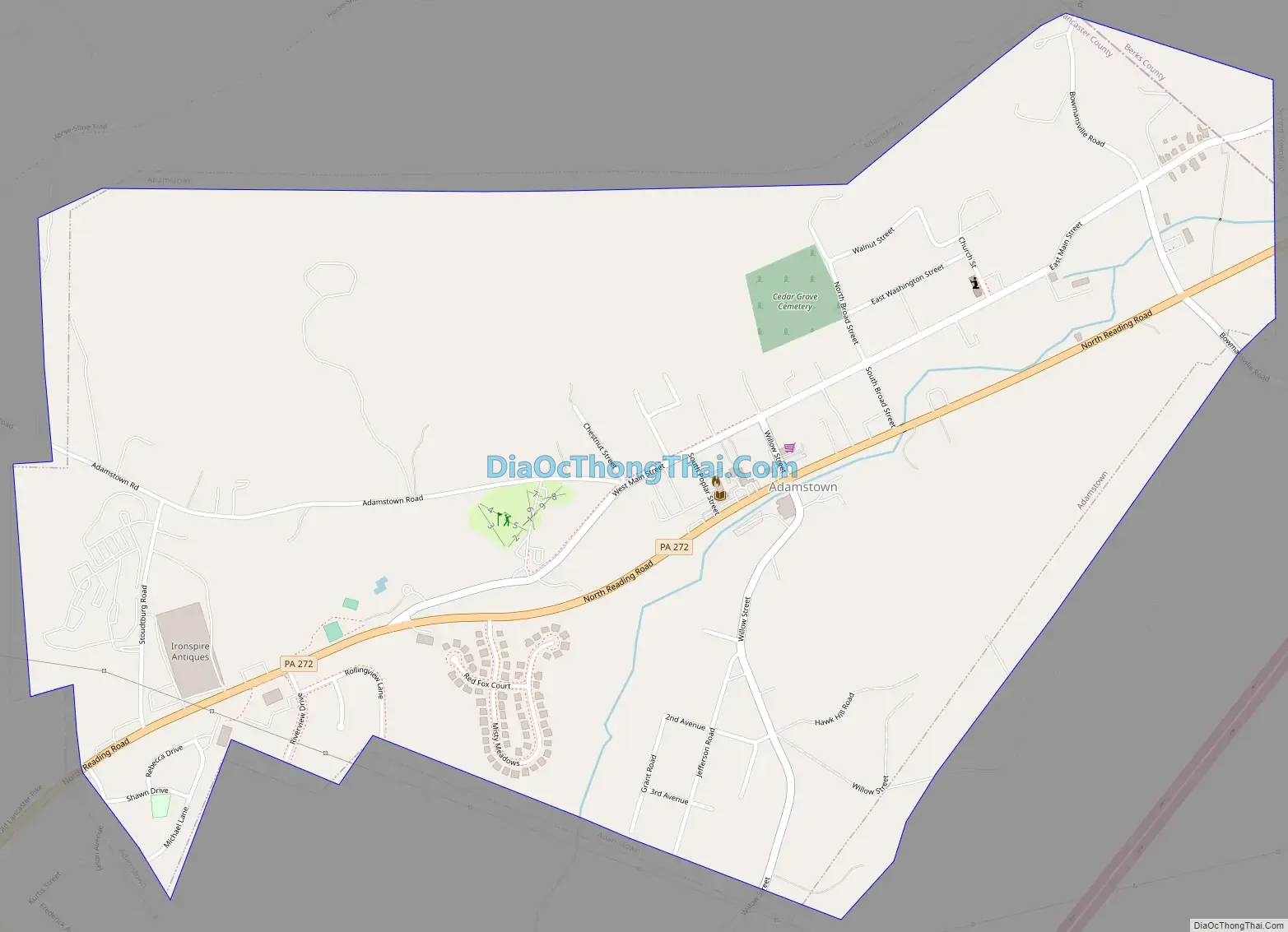
Adamstown Road Map
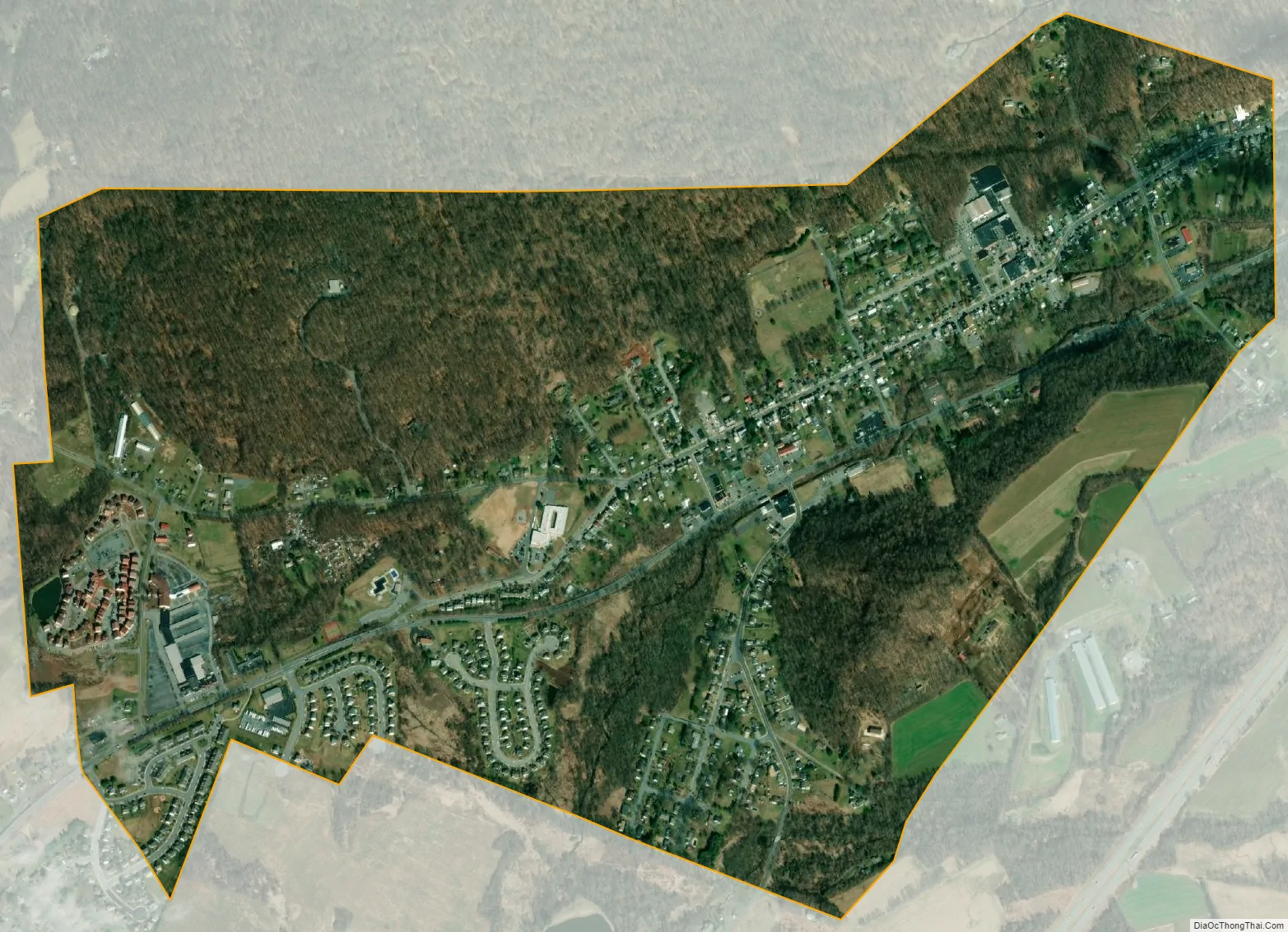
Adamstown city Satellite Map
Geography
According to the U.S. Census Bureau, the borough has a total area of 1.4 square miles (3.6 km), all land.
See also
Map of Pennsylvania State and its subdivision:- Adams
- Allegheny
- Armstrong
- Beaver
- Bedford
- Berks
- Blair
- Bradford
- Bucks
- Butler
- Cambria
- Cameron
- Carbon
- Centre
- Chester
- Clarion
- Clearfield
- Clinton
- Columbia
- Crawford
- Cumberland
- Dauphin
- Delaware
- Elk
- Erie
- Fayette
- Forest
- Franklin
- Fulton
- Greene
- Huntingdon
- Indiana
- Jefferson
- Juniata
- Lackawanna
- Lancaster
- Lawrence
- Lebanon
- Lehigh
- Luzerne
- Lycoming
- Mc Kean
- Mercer
- Mifflin
- Monroe
- Montgomery
- Montour
- Northampton
- Northumberland
- Perry
- Philadelphia
- Pike
- Potter
- Schuylkill
- Snyder
- Somerset
- Sullivan
- Susquehanna
- Tioga
- Union
- Venango
- Warren
- Washington
- Wayne
- Westmoreland
- Wyoming
- York
- Alabama
- Alaska
- Arizona
- Arkansas
- California
- Colorado
- Connecticut
- Delaware
- District of Columbia
- Florida
- Georgia
- Hawaii
- Idaho
- Illinois
- Indiana
- Iowa
- Kansas
- Kentucky
- Louisiana
- Maine
- Maryland
- Massachusetts
- Michigan
- Minnesota
- Mississippi
- Missouri
- Montana
- Nebraska
- Nevada
- New Hampshire
- New Jersey
- New Mexico
- New York
- North Carolina
- North Dakota
- Ohio
- Oklahoma
- Oregon
- Pennsylvania
- Rhode Island
- South Carolina
- South Dakota
- Tennessee
- Texas
- Utah
- Vermont
- Virginia
- Washington
- West Virginia
- Wisconsin
- Wyoming


