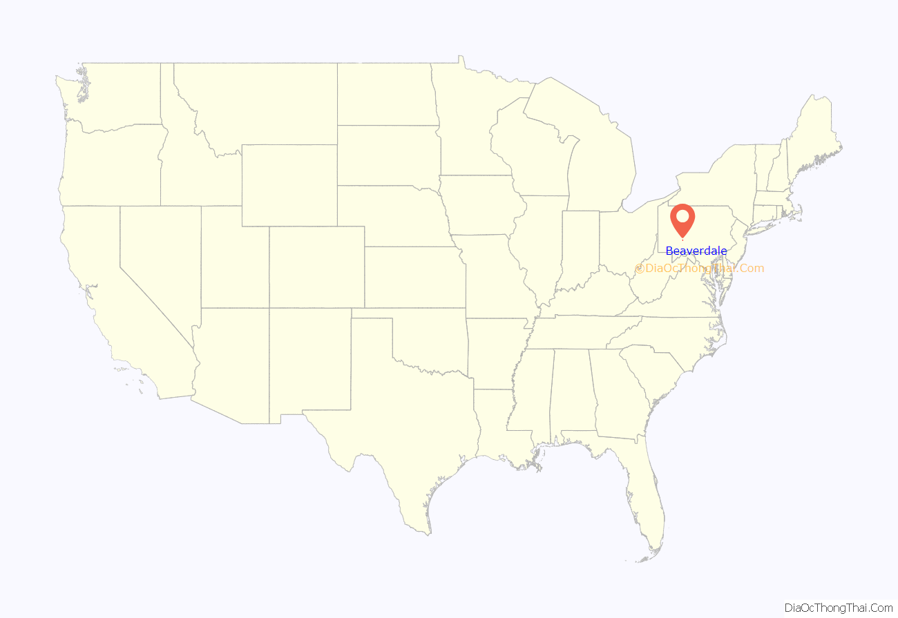
Beaverdale is an unincorporated community and census-designated place (CDP) in Cambria County, Pennsylvania, United States. The population was 1,035 at the 2010 census. Prior to that time, the CDP was known as Beaverdale-Lloydell.
| Name: | Beaverdale CDP |
|---|---|
| LSAD Code: | 57 |
| LSAD Description: | CDP (suffix) |
| State: | Pennsylvania |
| County: | Cambria County |
| Elevation: | 1,913 ft (583 m) |
| Total Area: | 1.53 sq mi (3.97 km²) |
| Land Area: | 1.53 sq mi (3.97 km²) |
| Water Area: | 0.00 sq mi (0.00 km²) |
| Total Population: | 959 |
| Population Density: | 625.98/sq mi (241.62/km²) |
| ZIP code: | 15921 |
| FIPS code: | 4204768 |
| GNISfeature ID: | 2389187 |
Online Interactive Map
Click on ![]() to view map in "full screen" mode.
to view map in "full screen" mode.
Beaverdale location map. Where is Beaverdale CDP?
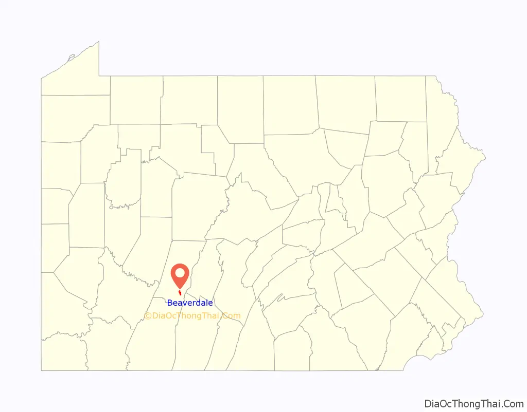
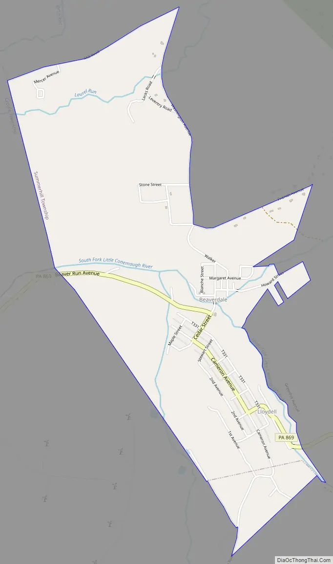
Beaverdale Road Map
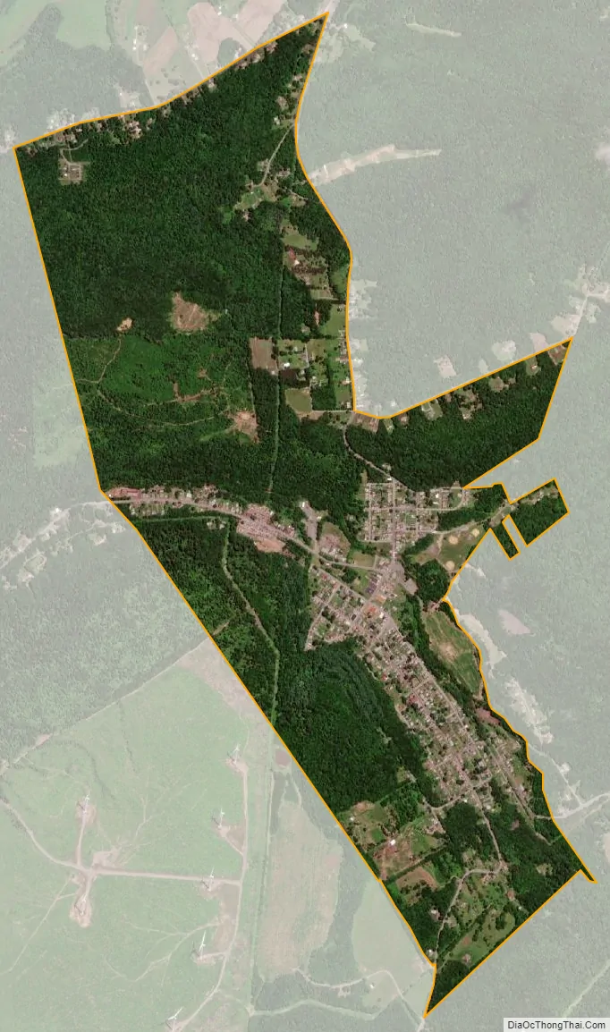
Beaverdale city Satellite Map
Geography
Beaverdale is located in southeastern Cambria County at 40°19′20″N 78°41′51″W / 40.32222°N 78.69750°W / 40.32222; -78.69750 (40.322095, -78.697636). The CDP is primarily within Summerhill Township, but the southern end of the CDP extends into Adams Township. The community of Lloydell is in the southeastern part of the CDP.
Pennsylvania Route 869 passes through Beaverdale, leading 3 miles (5 km) west to Sidman and 18 miles (29 km) to the southeast across the Allegheny Front to Interstate 99 at St. Clairsville. Blue Knob State Park is 10 miles (16 km) to the southeast, and the city of Johnstown is 16 miles (26 km) to the west.
According to the U.S. Census Bureau, the CDP has a total area of 1.5 square miles (4.0 km), all land. The community is in the valley of the South Fork of the Little Conemaugh River.
See also
Map of Pennsylvania State and its subdivision:- Adams
- Allegheny
- Armstrong
- Beaver
- Bedford
- Berks
- Blair
- Bradford
- Bucks
- Butler
- Cambria
- Cameron
- Carbon
- Centre
- Chester
- Clarion
- Clearfield
- Clinton
- Columbia
- Crawford
- Cumberland
- Dauphin
- Delaware
- Elk
- Erie
- Fayette
- Forest
- Franklin
- Fulton
- Greene
- Huntingdon
- Indiana
- Jefferson
- Juniata
- Lackawanna
- Lancaster
- Lawrence
- Lebanon
- Lehigh
- Luzerne
- Lycoming
- Mc Kean
- Mercer
- Mifflin
- Monroe
- Montgomery
- Montour
- Northampton
- Northumberland
- Perry
- Philadelphia
- Pike
- Potter
- Schuylkill
- Snyder
- Somerset
- Sullivan
- Susquehanna
- Tioga
- Union
- Venango
- Warren
- Washington
- Wayne
- Westmoreland
- Wyoming
- York
- Alabama
- Alaska
- Arizona
- Arkansas
- California
- Colorado
- Connecticut
- Delaware
- District of Columbia
- Florida
- Georgia
- Hawaii
- Idaho
- Illinois
- Indiana
- Iowa
- Kansas
- Kentucky
- Louisiana
- Maine
- Maryland
- Massachusetts
- Michigan
- Minnesota
- Mississippi
- Missouri
- Montana
- Nebraska
- Nevada
- New Hampshire
- New Jersey
- New Mexico
- New York
- North Carolina
- North Dakota
- Ohio
- Oklahoma
- Oregon
- Pennsylvania
- Rhode Island
- South Carolina
- South Dakota
- Tennessee
- Texas
- Utah
- Vermont
- Virginia
- Washington
- West Virginia
- Wisconsin
- Wyoming


