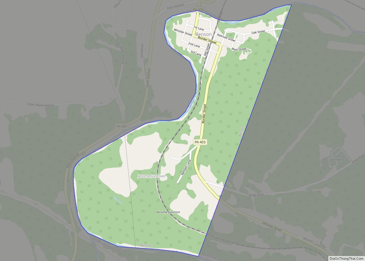
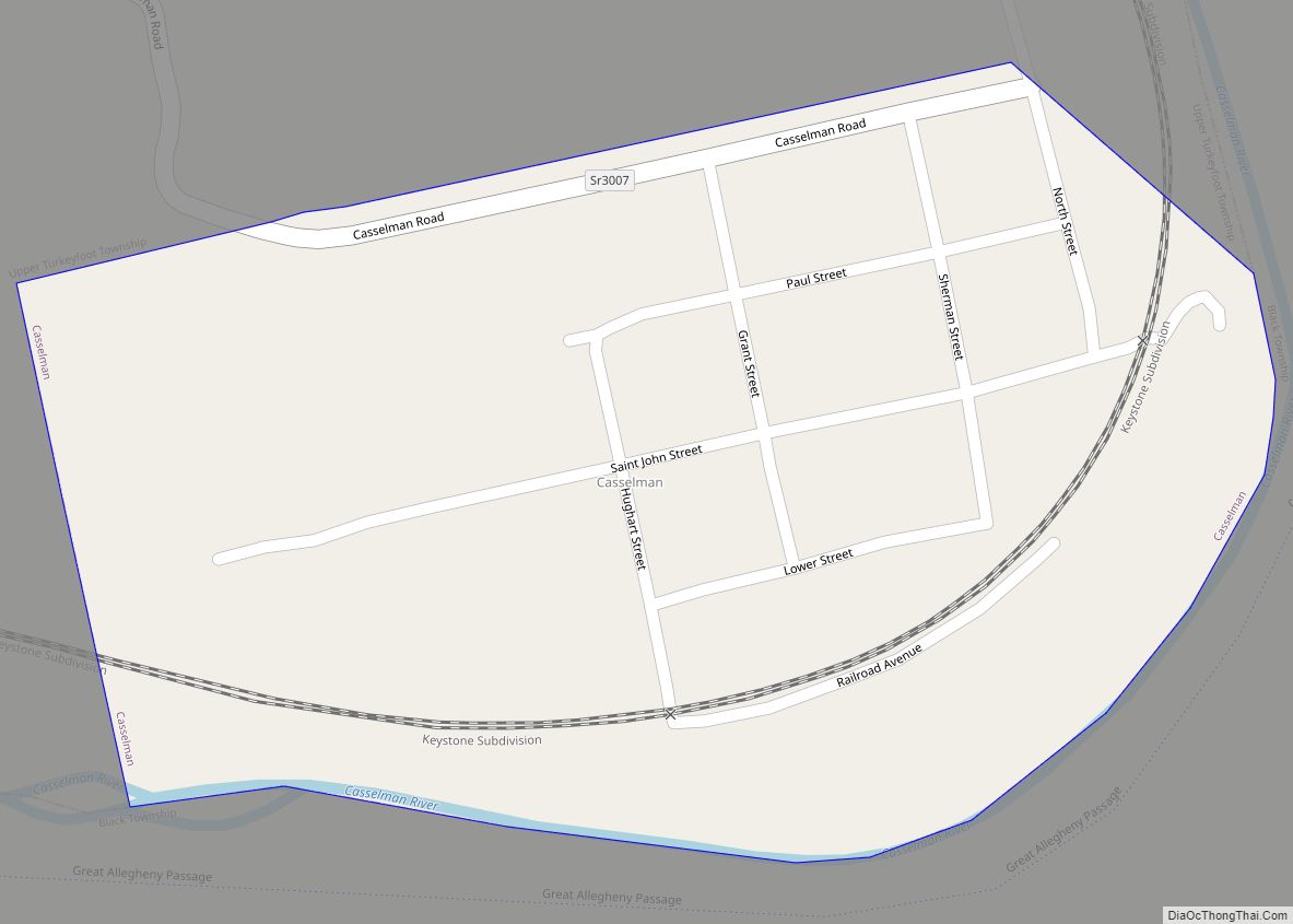
Benson is a borough in Somerset County, Pennsylvania, United States. The town is more commonly known to locals as Hollsopple, which is also the United States Postal Service name for the town, zip code 15935. The population was 185 at the 2020 census. It is part of the Johnstown, Pennsylvania Metropolitan Statistical Area. Benson is served by the Conemaugh Township Area School District.
The community was named after one Charles Hollsopple, the original owner of the town site.
| Name: | Benson borough |
|---|---|
| LSAD Code: | 21 |
| LSAD Description: | borough (suffix) |
| State: | Pennsylvania |
| County: | Somerset County |
| Incorporated: | November 15, 1892 |
| Total Area: | 0.35 sq mi (0.92 km²) |
| Land Area: | 0.35 sq mi (0.92 km²) |
| Water Area: | 0.00 sq mi (0.00 km²) |
| Total Population: | 187 |
| Population Density: | 528.25/sq mi (204.16/km²) |
| Area code: | 814 |
| FIPS code: | 4205648 |
Online Interactive Map
Click on ![]() to view map in "full screen" mode.
to view map in "full screen" mode.
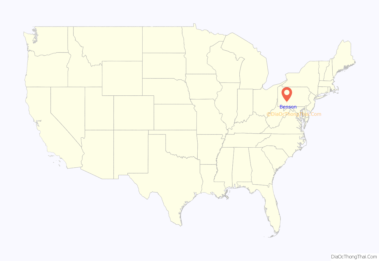
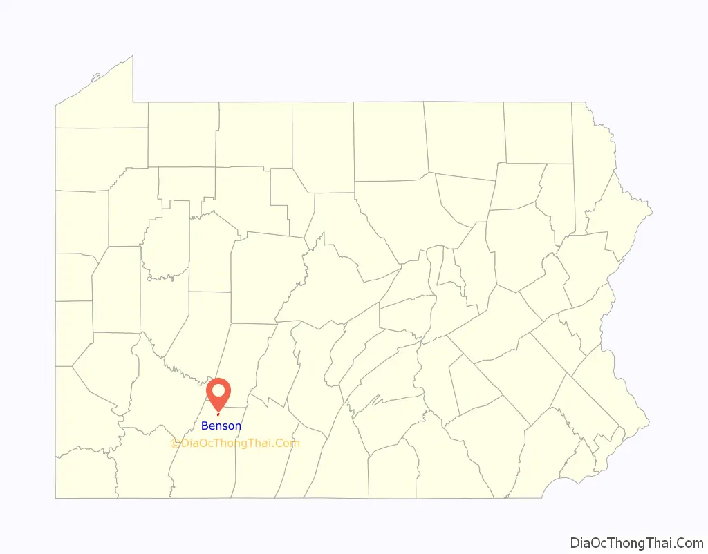
Benson location map. Where is Benson borough?
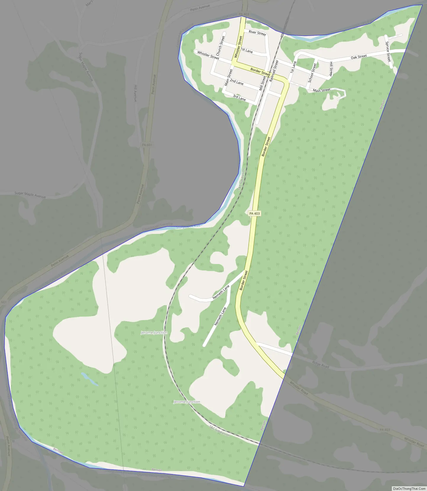
Benson Road Map
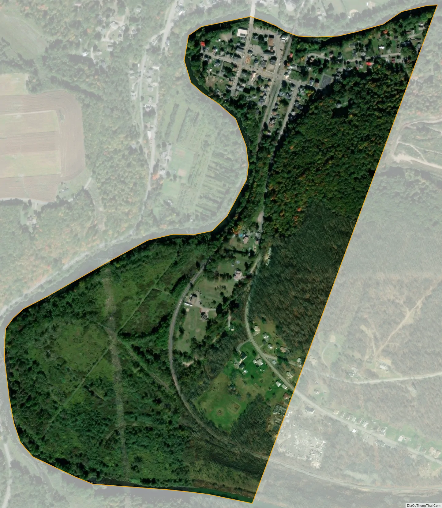
Benson city Satellite Map
Geography
Benson is located at 40°12′02″N 78°55′40″W / 40.20056°N 78.92778°W / 40.20056; -78.92778 (40.2006, -78.9279), about 34 miles southwest of Altoona and approximately 60 miles east-southeast of Pittsburgh, Pennsylvania. According to the United States Census Bureau, the borough has a total area of 0.3 square miles (0.78 km), all land. Benson sits on the east bank of the Stonycreek River.
See also
Map of Pennsylvania State and its subdivision:- Adams
- Allegheny
- Armstrong
- Beaver
- Bedford
- Berks
- Blair
- Bradford
- Bucks
- Butler
- Cambria
- Cameron
- Carbon
- Centre
- Chester
- Clarion
- Clearfield
- Clinton
- Columbia
- Crawford
- Cumberland
- Dauphin
- Delaware
- Elk
- Erie
- Fayette
- Forest
- Franklin
- Fulton
- Greene
- Huntingdon
- Indiana
- Jefferson
- Juniata
- Lackawanna
- Lancaster
- Lawrence
- Lebanon
- Lehigh
- Luzerne
- Lycoming
- Mc Kean
- Mercer
- Mifflin
- Monroe
- Montgomery
- Montour
- Northampton
- Northumberland
- Perry
- Philadelphia
- Pike
- Potter
- Schuylkill
- Snyder
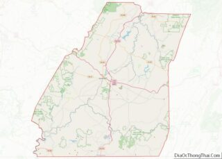
- Somerset
- Sullivan
- Susquehanna
- Tioga
- Union
- Venango
- Warren
- Washington
- Wayne
- Westmoreland
- Wyoming
- York
- Alabama
- Alaska
- Arizona
- Arkansas
- California
- Colorado
- Connecticut
- Delaware
- District of Columbia
- Florida
- Georgia
- Hawaii
- Idaho
- Illinois
- Indiana
- Iowa
- Kansas
- Kentucky
- Louisiana
- Maine
- Maryland
- Massachusetts
- Michigan
- Minnesota
- Mississippi
- Missouri
- Montana
- Nebraska
- Nevada
- New Hampshire
- New Jersey
- New Mexico
- New York
- North Carolina
- North Dakota
- Ohio
- Oklahoma
- Oregon
- Pennsylvania
- Rhode Island
- South Carolina
- South Dakota
- Tennessee
- Texas
- Utah
- Vermont
- Virginia
- Washington
- West Virginia
- Wisconsin
- Wyoming