Berrysburg is a borough in Dauphin County, Pennsylvania, United States. The population was 324 at the 2020 census. It is part of the Harrisburg–Carlisle Metropolitan Statistical Area.
| Name: | Berrysburg borough |
|---|---|
| LSAD Code: | 21 |
| LSAD Description: | borough (suffix) |
| State: | Pennsylvania |
| County: | Dauphin County |
| Incorporated: | 1871 |
| Elevation: | 722 ft (220 m) |
| Total Area: | 0.61 sq mi (1.57 km²) |
| Land Area: | 0.61 sq mi (1.57 km²) |
| Water Area: | 0.00 sq mi (0.00 km²) |
| Total Population: | 326 |
| Population Density: | 537.95/sq mi (207.64/km²) |
| ZIP code: | 17005 |
| Area code: | 717 |
| FIPS code: | 4205856 |
| Website: | berrysburg.org |
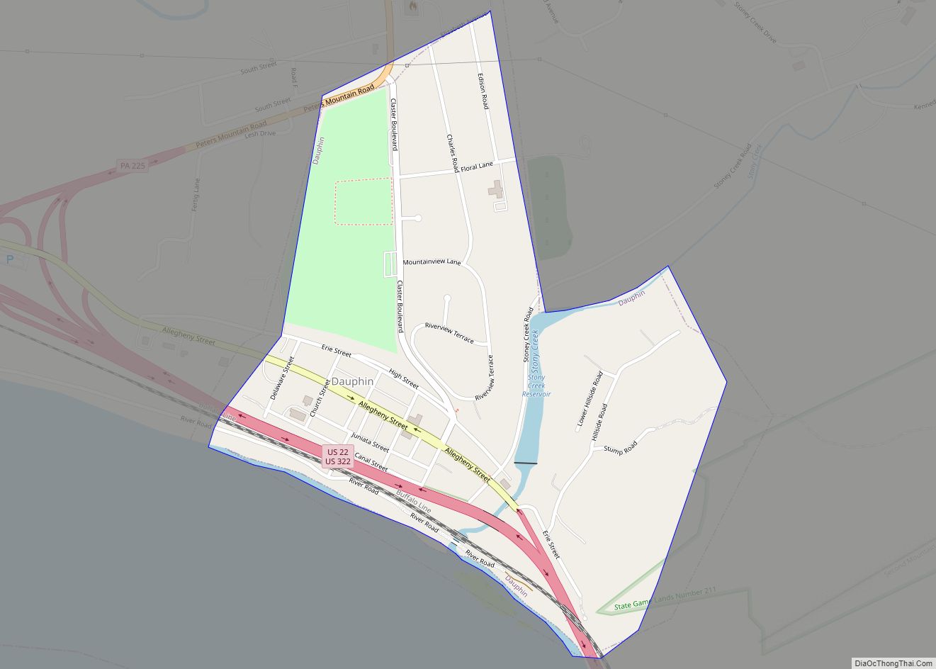
Online Interactive Map
Click on ![]() to view map in "full screen" mode.
to view map in "full screen" mode.
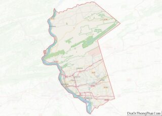
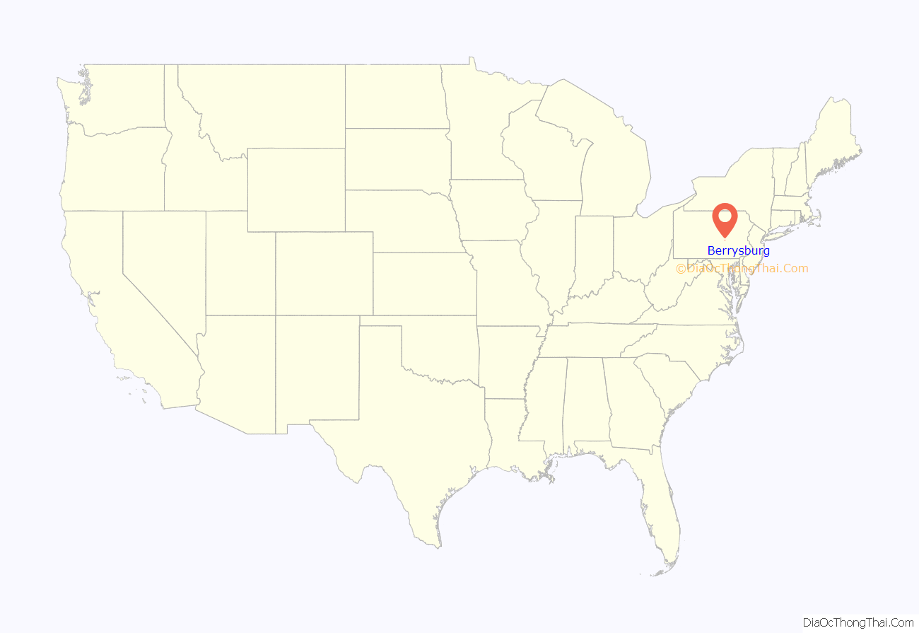
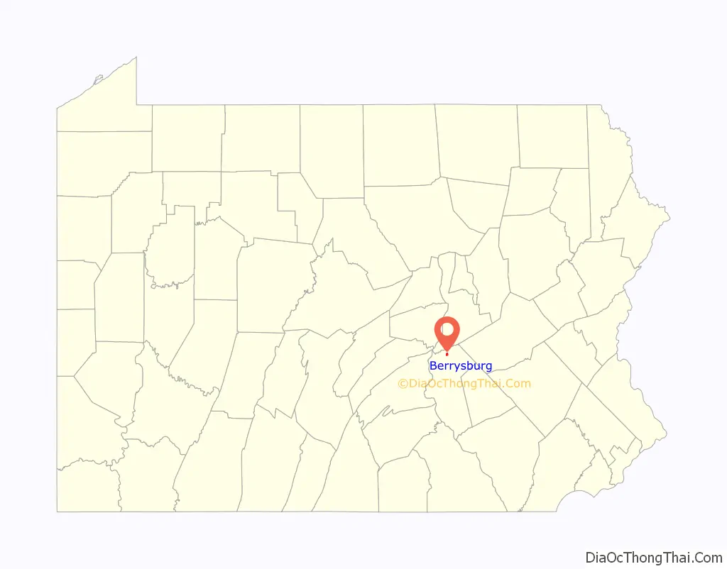
Berrysburg location map. Where is Berrysburg borough?
History
Berrysburg was originally called Hellerstown. The present name is for the Berry family of settlers.
The Romberger-Stover House was added to the National Register of Historic Places in 1980.
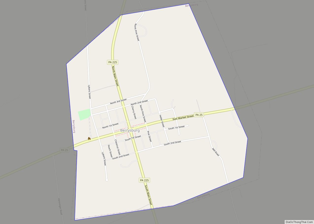
Berrysburg Road Map
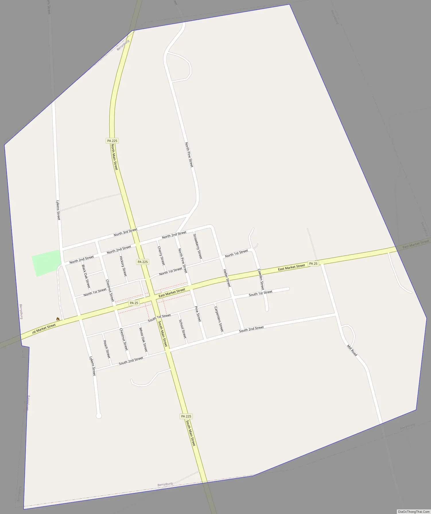
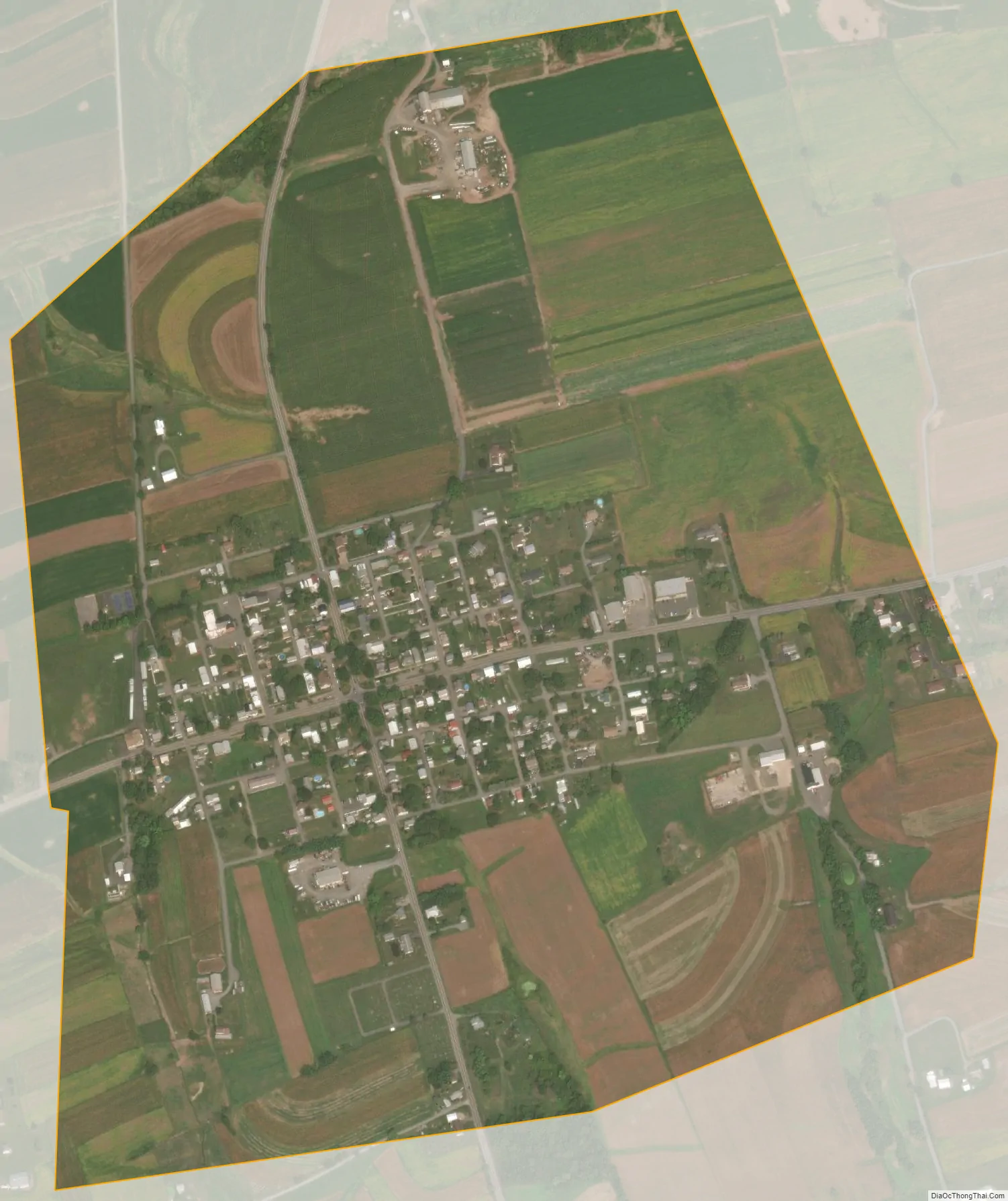
Berrysburg city Satellite Map
Geography
Berrysburg is located in the eastern part of Mifflin Township, in northern Dauphin County at 40°36′9″N 76°48′41″W / 40.60250°N 76.81139°W / 40.60250; -76.81139 (40.602475, -76.811309). Berrysburg as a borough is a separate municipality from the township. The Mahantango Mountain lies 2 miles (3 km) to the north. Pennsylvania Routes 25 and 225 intersect in the borough; PA 25 leads east 5 miles (8 km) to Gratz and west 9 miles (14 km) to Millersburg on the Susquehanna River, while PA 225 leads north 3 miles (5 km) to Pillow and south 4 miles (6 km) to Elizabethville. Harrisburg, the state capital and Dauphin County seat, is 30 miles (48 km) to the south.
According to the U.S. Census Bureau, the borough has a total area of 0.62 square miles (1.6 km), all land.
See also
Map of Pennsylvania State and its subdivision:- Adams
- Allegheny
- Armstrong
- Beaver
- Bedford
- Berks
- Blair
- Bradford
- Bucks
- Butler
- Cambria
- Cameron
- Carbon
- Centre
- Chester
- Clarion
- Clearfield
- Clinton
- Columbia
- Crawford
- Cumberland
- Dauphin
- Delaware
- Elk
- Erie
- Fayette
- Forest
- Franklin
- Fulton
- Greene
- Huntingdon
- Indiana
- Jefferson
- Juniata
- Lackawanna
- Lancaster
- Lawrence
- Lebanon
- Lehigh
- Luzerne
- Lycoming
- Mc Kean
- Mercer
- Mifflin
- Monroe
- Montgomery
- Montour
- Northampton
- Northumberland
- Perry
- Philadelphia
- Pike
- Potter
- Schuylkill
- Snyder
- Somerset
- Sullivan
- Susquehanna
- Tioga
- Union
- Venango
- Warren
- Washington
- Wayne
- Westmoreland
- Wyoming
- York
- Alabama
- Alaska
- Arizona
- Arkansas
- California
- Colorado
- Connecticut
- Delaware
- District of Columbia
- Florida
- Georgia
- Hawaii
- Idaho
- Illinois
- Indiana
- Iowa
- Kansas
- Kentucky
- Louisiana
- Maine
- Maryland
- Massachusetts
- Michigan
- Minnesota
- Mississippi
- Missouri
- Montana
- Nebraska
- Nevada
- New Hampshire
- New Jersey
- New Mexico
- New York
- North Carolina
- North Dakota
- Ohio
- Oklahoma
- Oregon
- Pennsylvania
- Rhode Island
- South Carolina
- South Dakota
- Tennessee
- Texas
- Utah
- Vermont
- Virginia
- Washington
- West Virginia
- Wisconsin
- Wyoming