Black Lick is a census-designated place (CDP) in Burrell Township, Indiana County, Pennsylvania, United States. The population was 1,462 at the 2010 census.
A post office called Black Lick has been in operation since 1809. The community was named after Blacklick Creek.
| Name: | Black Lick CDP |
|---|---|
| LSAD Code: | 57 |
| LSAD Description: | CDP (suffix) |
| State: | Pennsylvania |
| County: | Indiana County |
| Total Area: | 2.54 sq mi (6.57 km²) |
| Land Area: | 2.50 sq mi (6.46 km²) |
| Water Area: | 0.04 sq mi (0.11 km²) |
| Total Population: | 1,268 |
| Population Density: | 508.22/sq mi (196.24/km²) |
| ZIP code: | 15716 |
| FIPS code: | 4206744 |
| GNISfeature ID: | 1169715 |
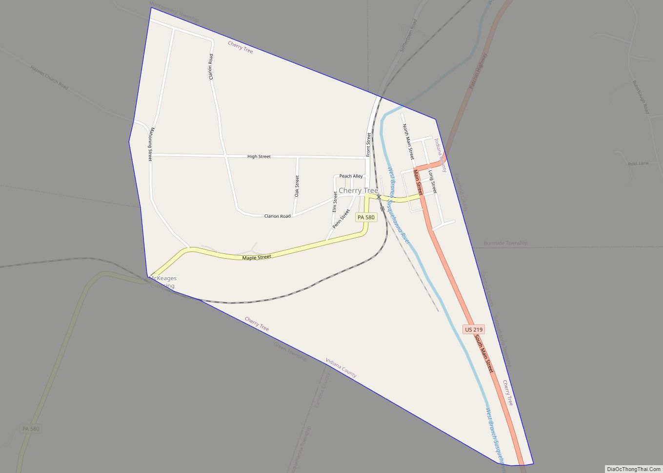
Online Interactive Map
Click on ![]() to view map in "full screen" mode.
to view map in "full screen" mode.
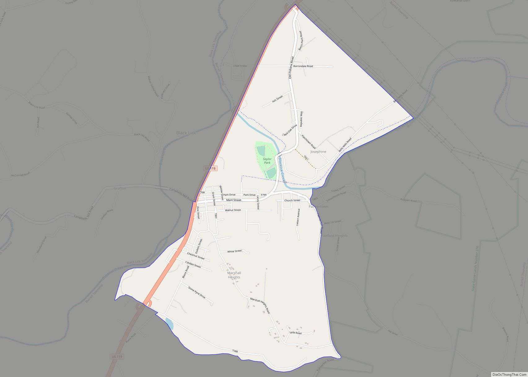
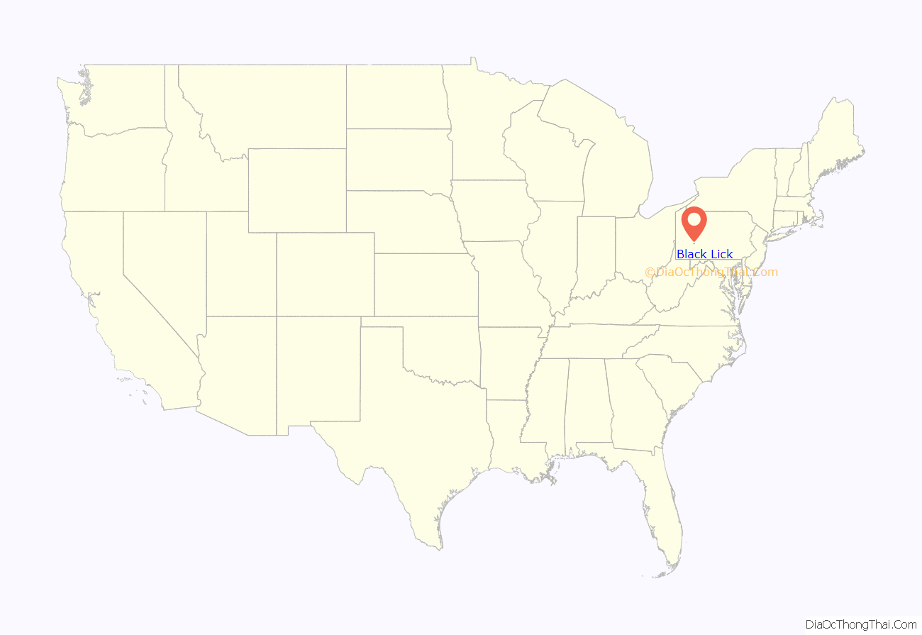
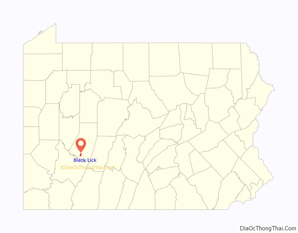
Black Lick location map. Where is Black Lick CDP?
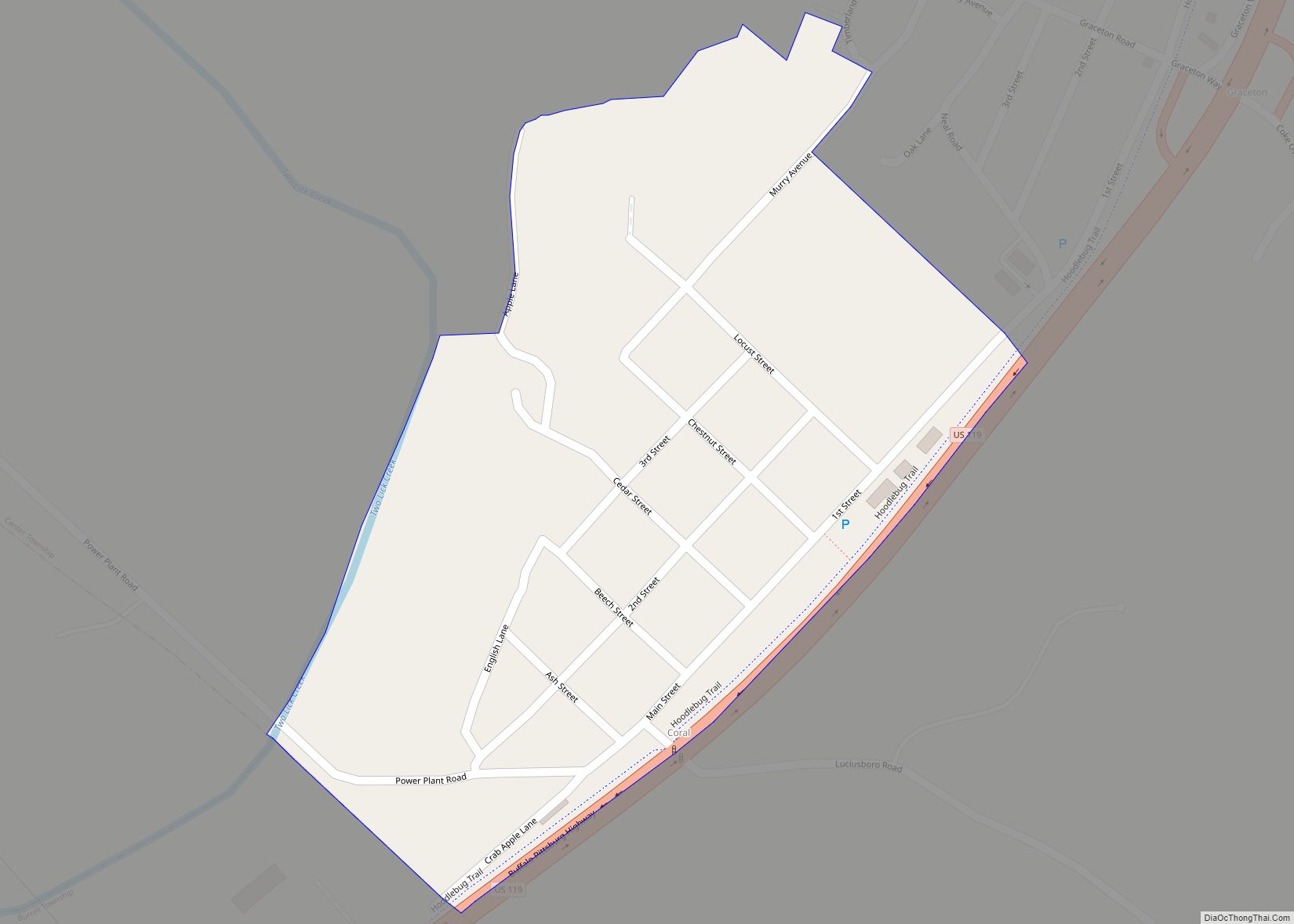
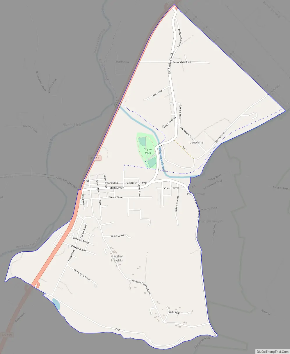
Black Lick Road Map
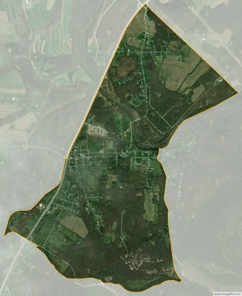
Black Lick city Satellite Map
Geography
Black Lick is located at 40°28′21″N 79°11′34″W / 40.47250°N 79.19278°W / 40.47250; -79.19278 (40.472381, -79.192900).
According to the United States Census Bureau, the CDP has a total area of 2.6 square miles (6.7 km), of which 2.6 square miles (6.7 km) is land and 0.04 square miles (0.10 km) (0.78%) is water.
See also
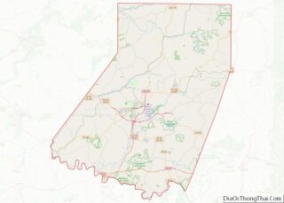
Map of Pennsylvania State and its subdivision:- Adams
- Allegheny
- Armstrong
- Beaver
- Bedford
- Berks
- Blair
- Bradford
- Bucks
- Butler
- Cambria
- Cameron
- Carbon
- Centre
- Chester
- Clarion
- Clearfield
- Clinton
- Columbia
- Crawford
- Cumberland
- Dauphin
- Delaware
- Elk
- Erie
- Fayette
- Forest
- Franklin
- Fulton
- Greene
- Huntingdon
- Indiana
- Jefferson
- Juniata
- Lackawanna
- Lancaster
- Lawrence
- Lebanon
- Lehigh
- Luzerne
- Lycoming
- Mc Kean
- Mercer
- Mifflin
- Monroe
- Montgomery
- Montour
- Northampton
- Northumberland
- Perry
- Philadelphia
- Pike
- Potter
- Schuylkill
- Snyder
- Somerset
- Sullivan
- Susquehanna
- Tioga
- Union
- Venango
- Warren
- Washington
- Wayne
- Westmoreland
- Wyoming
- York
- Alabama
- Alaska
- Arizona
- Arkansas
- California
- Colorado
- Connecticut
- Delaware
- District of Columbia
- Florida
- Georgia
- Hawaii
- Idaho
- Illinois
- Indiana
- Iowa
- Kansas
- Kentucky
- Louisiana
- Maine
- Maryland
- Massachusetts
- Michigan
- Minnesota
- Mississippi
- Missouri
- Montana
- Nebraska
- Nevada
- New Hampshire
- New Jersey
- New Mexico
- New York
- North Carolina
- North Dakota
- Ohio
- Oklahoma
- Oregon
- Pennsylvania
- Rhode Island
- South Carolina
- South Dakota
- Tennessee
- Texas
- Utah
- Vermont
- Virginia
- Washington
- West Virginia
- Wisconsin
- Wyoming