Blue Bell is a census-designated place (CDP) in Whitpain Township, Montgomery County, Pennsylvania, United States. As of the 2010 census, its population was 6,067.
Blue Bell was originally known as Pigeontown, after the large flocks of the now-extinct passenger pigeons that once gathered there. The town was renamed in 1840 after the historically prominent Blue Bell Inn.
Blue Bell is known for its large executive-style mansions, major business parks, community shopping facilities, and small businesses. It is one of the most affluent areas outside the Main Line communities in the Philadelphia area. In July 2005, Money magazine ranked Blue Bell 14th on its list of the “100 Best Places to Live in the United States”.
| Name: | Blue Bell CDP |
|---|---|
| LSAD Code: | 57 |
| LSAD Description: | CDP (suffix) |
| State: | Pennsylvania |
| County: | Montgomery County |
| Elevation: | 358 ft (109 m) |
| Total Area: | 5.39 sq mi (13.96 km²) |
| Land Area: | 5.39 sq mi (13.96 km²) |
| Water Area: | 0.00 sq mi (0.00 km²) |
| Total Population: | 6,506 |
| Population Density: | 1,207.27/sq mi (466.10/km²) |
| ZIP code: | 19422 |
| FIPS code: | 4207224 |
Online Interactive Map
Click on ![]() to view map in "full screen" mode.
to view map in "full screen" mode.
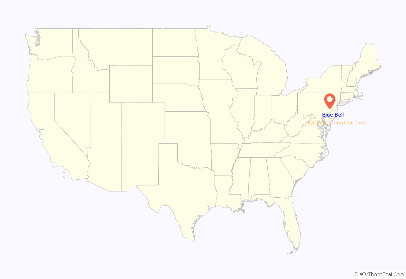
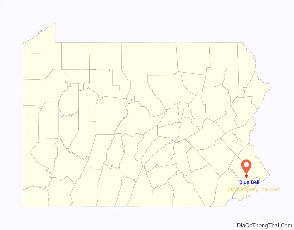
Blue Bell location map. Where is Blue Bell CDP?
History
Whitpain Public School was added to the National Register of Historic Places in 2006. The “Dutchman” is a well-known historical landmark within the town of Blue Bell.
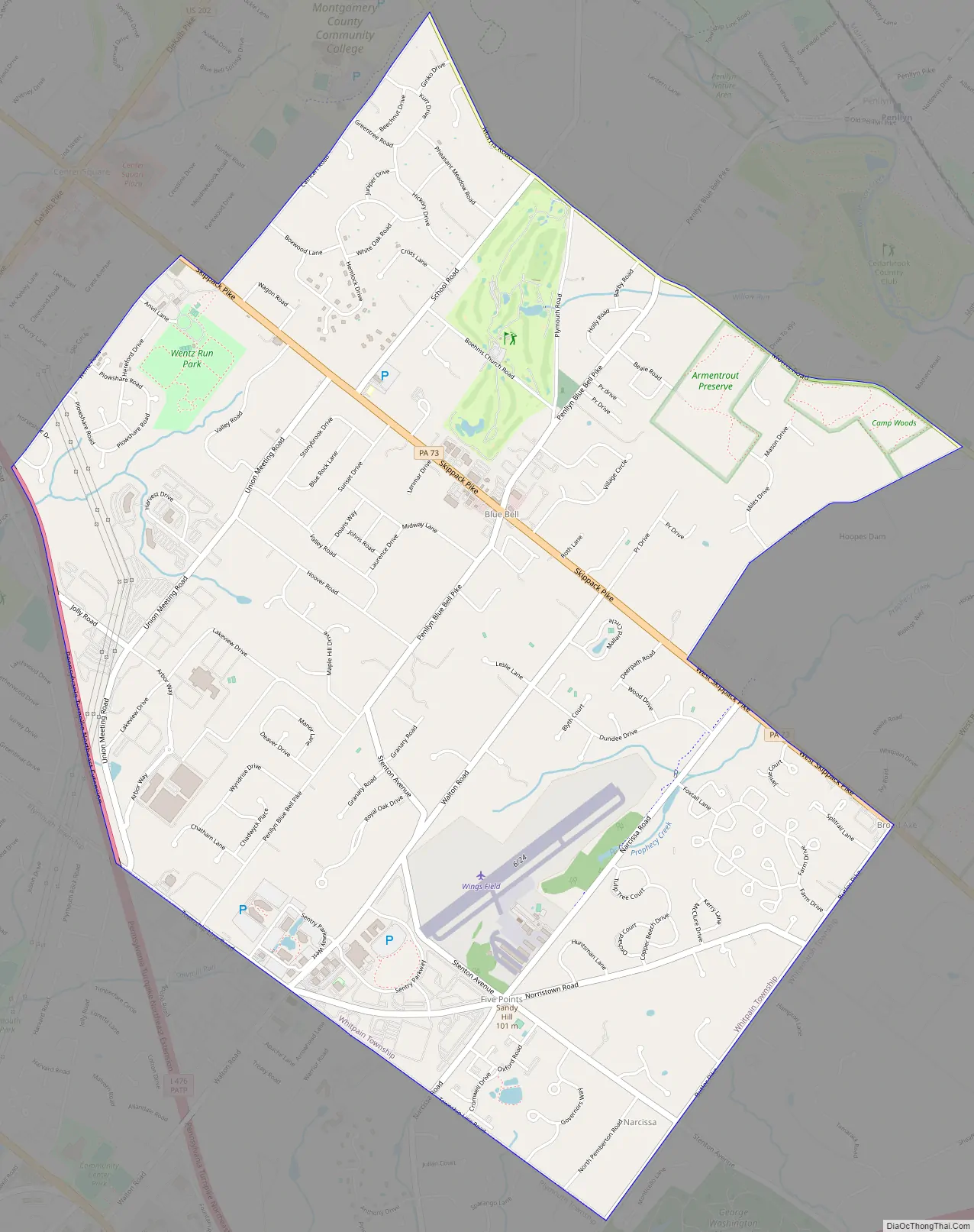
Blue Bell Road Map
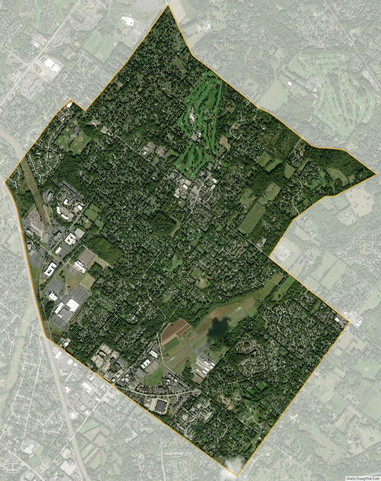
Blue Bell city Satellite Map
Geography
Blue Bell is located at 40°8′41″N 75°16′8″W / 40.14472°N 75.26889°W / 40.14472; -75.26889 (40.144759, -75.268752). According to the United States Census Bureau, the CDP has a total area of 5.4 square miles (14 km), all land.
While the CDP of Blue Bell proper consists of an area roughly centered upon the namesake Inn, in recent years the name “Blue Bell” has become informally synonymous with the larger surrounding area within the 19422 ZIP code, including the communities of Center Square and Belfry.
The boundary between area codes 215/267/445 and 610/484 runs through Blue Bell’s center.
See also
Map of Pennsylvania State and its subdivision:- Adams
- Allegheny
- Armstrong
- Beaver
- Bedford
- Berks
- Blair
- Bradford
- Bucks
- Butler
- Cambria
- Cameron
- Carbon
- Centre
- Chester
- Clarion
- Clearfield
- Clinton
- Columbia
- Crawford
- Cumberland
- Dauphin
- Delaware
- Elk
- Erie
- Fayette
- Forest
- Franklin
- Fulton
- Greene
- Huntingdon
- Indiana
- Jefferson
- Juniata
- Lackawanna
- Lancaster
- Lawrence
- Lebanon
- Lehigh
- Luzerne
- Lycoming
- Mc Kean
- Mercer
- Mifflin
- Monroe
- Montgomery
- Montour
- Northampton
- Northumberland
- Perry
- Philadelphia
- Pike
- Potter
- Schuylkill
- Snyder
- Somerset
- Sullivan
- Susquehanna
- Tioga
- Union
- Venango
- Warren
- Washington
- Wayne
- Westmoreland
- Wyoming
- York
- Alabama
- Alaska
- Arizona
- Arkansas
- California
- Colorado
- Connecticut
- Delaware
- District of Columbia
- Florida
- Georgia
- Hawaii
- Idaho
- Illinois
- Indiana
- Iowa
- Kansas
- Kentucky
- Louisiana
- Maine
- Maryland
- Massachusetts
- Michigan
- Minnesota
- Mississippi
- Missouri
- Montana
- Nebraska
- Nevada
- New Hampshire
- New Jersey
- New Mexico
- New York
- North Carolina
- North Dakota
- Ohio
- Oklahoma
- Oregon
- Pennsylvania
- Rhode Island
- South Carolina
- South Dakota
- Tennessee
- Texas
- Utah
- Vermont
- Virginia
- Washington
- West Virginia
- Wisconsin
- Wyoming


