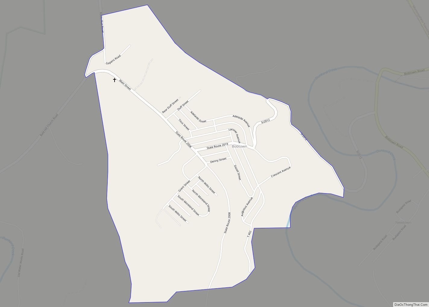
Bobtown is an unincorporated coal town and census-designated place (CDP) in Greene County, Pennsylvania, United States. As of the 2010 census it had a population of 757.
| Name: | Bobtown CDP |
|---|---|
| LSAD Code: | 57 |
| LSAD Description: | CDP (suffix) |
| State: | Pennsylvania |
| County: | Greene County |
| Elevation: | 1,178 ft (359 m) |
| Total Area: | 0.62 sq mi (1.59 km²) |
| Land Area: | 0.62 sq mi (1.59 km²) |
| Water Area: | 0.00 sq mi (0.00 km²) |
| Total Population: | 701 |
| Population Density: | 1,137.99/sq mi (439.51/km²) |
| ZIP code: | 15315 |
| Area code: | 724 |
| FIPS code: | 4207384 |
| GNISfeature ID: | 1169928 |
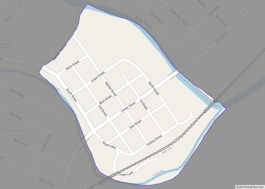
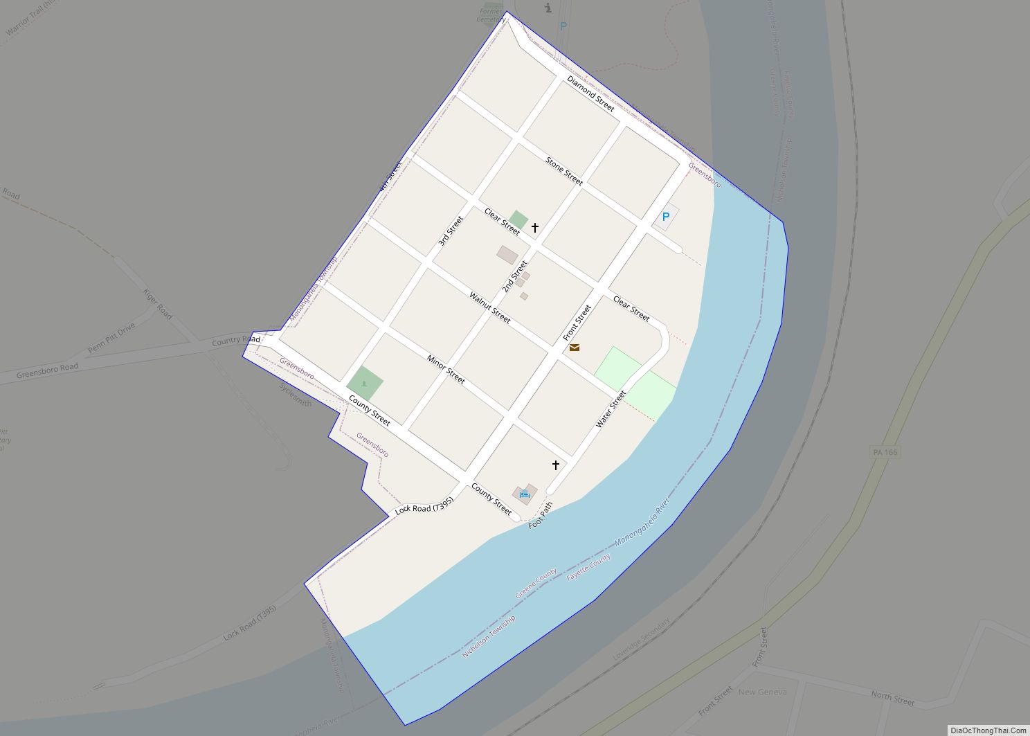
Online Interactive Map
Click on ![]() to view map in "full screen" mode.
to view map in "full screen" mode.
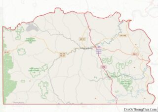
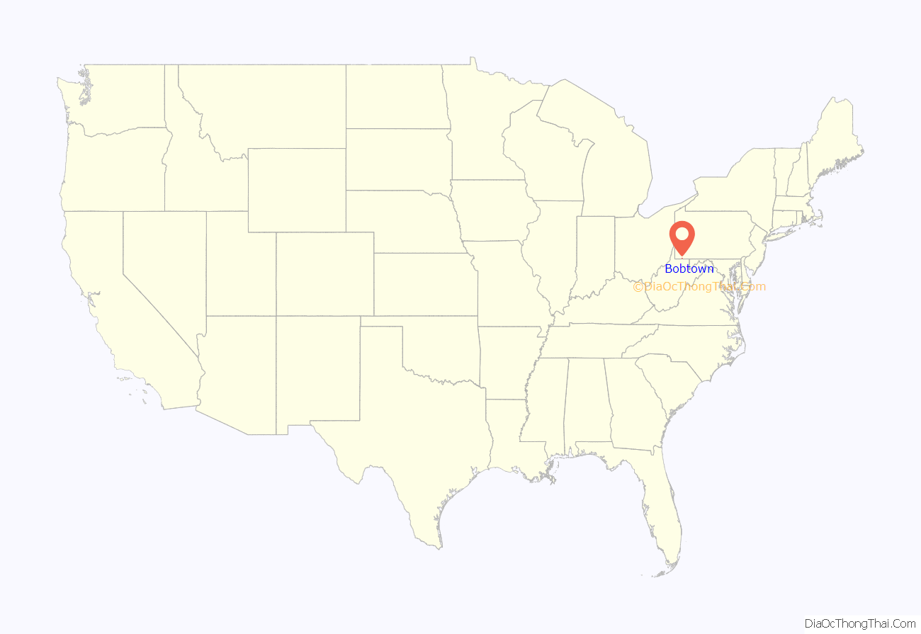
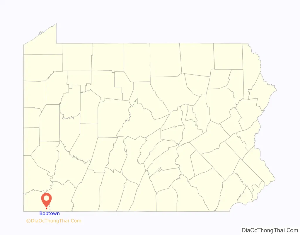
Bobtown location map. Where is Bobtown CDP?
History
Bobtown was founded by the Shannopin Coal Co in the 1920s to provide housing for miners who worked in the company’s mine which was located nearby. The town is named for Robert “Bob” Mapel, who was also the founder of nearby Mapletown.
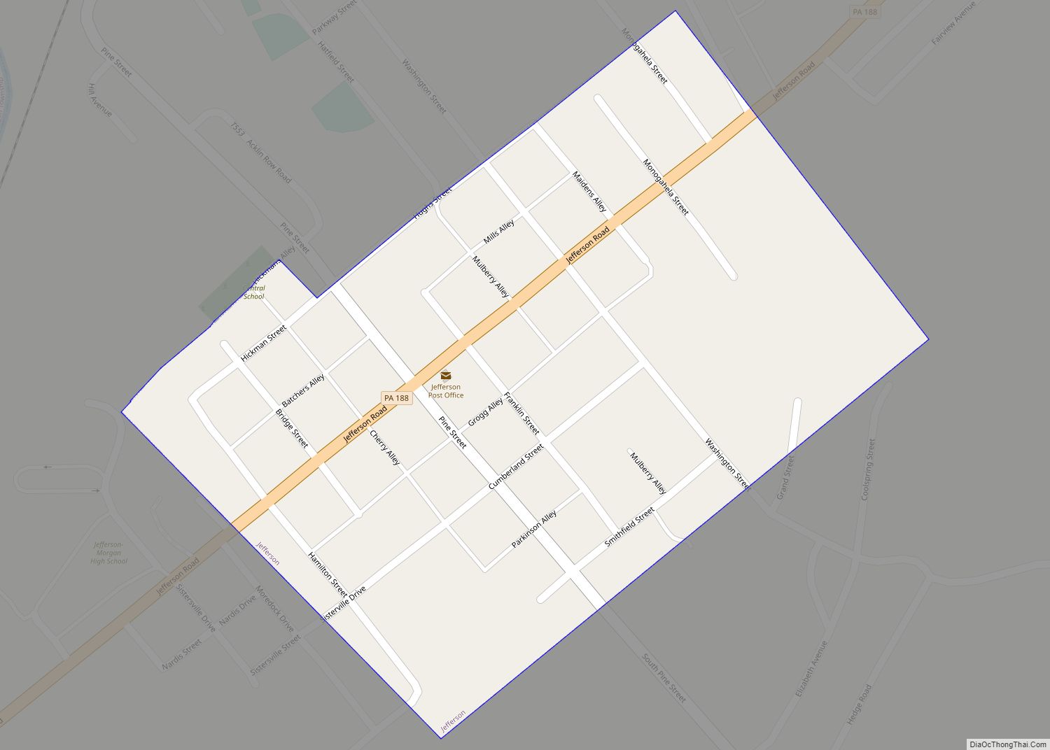
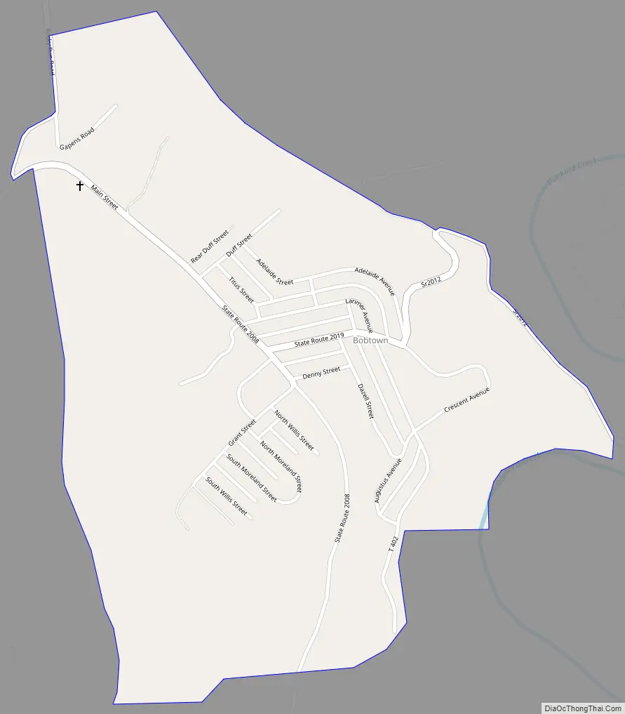
Bobtown Road Map
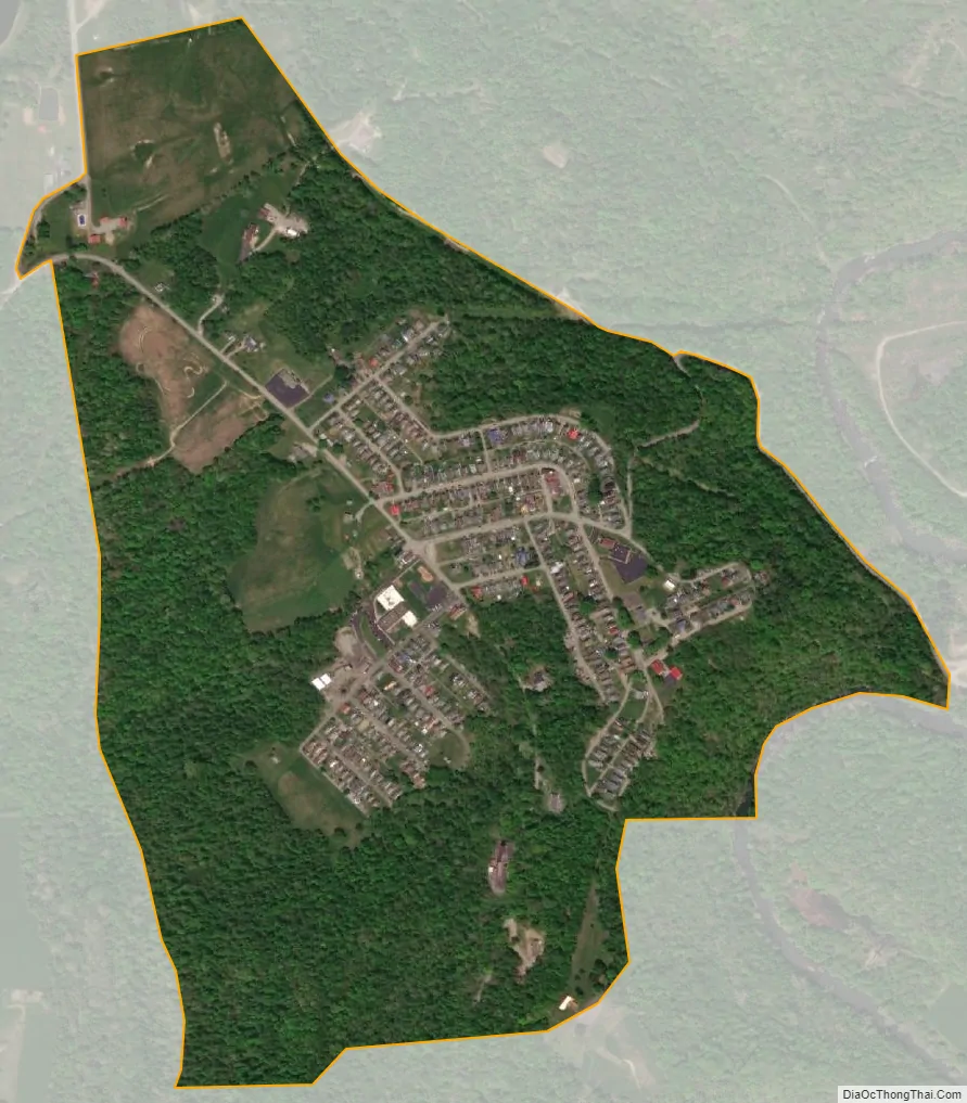
Bobtown city Satellite Map
Geography
The community is in southeastern Greene County near the center of Dunkard Township, on a plateau 350 feet (110 m) above Dunkard Creek. It is 3.5 miles (5.6 km) west of the mouth of Dunkard Creek at the Monongahela River and 19 miles (31 km) southeast of Waynesburg, the Greene County seat. According to the United States Census Bureau, the CDP has a total area of 0.63 square miles (1.64 km), all land.
See also
Map of Pennsylvania State and its subdivision:- Adams
- Allegheny
- Armstrong
- Beaver
- Bedford
- Berks
- Blair
- Bradford
- Bucks
- Butler
- Cambria
- Cameron
- Carbon
- Centre
- Chester
- Clarion
- Clearfield
- Clinton
- Columbia
- Crawford
- Cumberland
- Dauphin
- Delaware
- Elk
- Erie
- Fayette
- Forest
- Franklin
- Fulton
- Greene
- Huntingdon
- Indiana
- Jefferson
- Juniata
- Lackawanna
- Lancaster
- Lawrence
- Lebanon
- Lehigh
- Luzerne
- Lycoming
- Mc Kean
- Mercer
- Mifflin
- Monroe
- Montgomery
- Montour
- Northampton
- Northumberland
- Perry
- Philadelphia
- Pike
- Potter
- Schuylkill
- Snyder
- Somerset
- Sullivan
- Susquehanna
- Tioga
- Union
- Venango
- Warren
- Washington
- Wayne
- Westmoreland
- Wyoming
- York
- Alabama
- Alaska
- Arizona
- Arkansas
- California
- Colorado
- Connecticut
- Delaware
- District of Columbia
- Florida
- Georgia
- Hawaii
- Idaho
- Illinois
- Indiana
- Iowa
- Kansas
- Kentucky
- Louisiana
- Maine
- Maryland
- Massachusetts
- Michigan
- Minnesota
- Mississippi
- Missouri
- Montana
- Nebraska
- Nevada
- New Hampshire
- New Jersey
- New Mexico
- New York
- North Carolina
- North Dakota
- Ohio
- Oklahoma
- Oregon
- Pennsylvania
- Rhode Island
- South Carolina
- South Dakota
- Tennessee
- Texas
- Utah
- Vermont
- Virginia
- Washington
- West Virginia
- Wisconsin
- Wyoming