Boothwyn is a census-designated place (CDP) in Delaware County, Pennsylvania, United States. The population was 4,933 at the 2010 census, down from 5,206 at the 2000 census. The census estimation for population circa 2019 is 6,115.
| Name: | Boothwyn CDP |
|---|---|
| LSAD Code: | 57 |
| LSAD Description: | CDP (suffix) |
| State: | Pennsylvania |
| County: | Delaware County |
| Elevation: | 98 ft (30 m) |
| Total Area: | 1.25 sq mi (3.23 km²) |
| Land Area: | 1.25 sq mi (3.23 km²) |
| Water Area: | 0.00 sq mi (0.00 km²) |
| Total Population: | 4,968 |
| Population Density: | 3,983.96/sq mi (1,537.60/km²) |
| ZIP code: | 19061 |
| Area code: | 610 and 484 |
| FIPS code: | 4207616 |
Online Interactive Map
Click on ![]() to view map in "full screen" mode.
to view map in "full screen" mode.
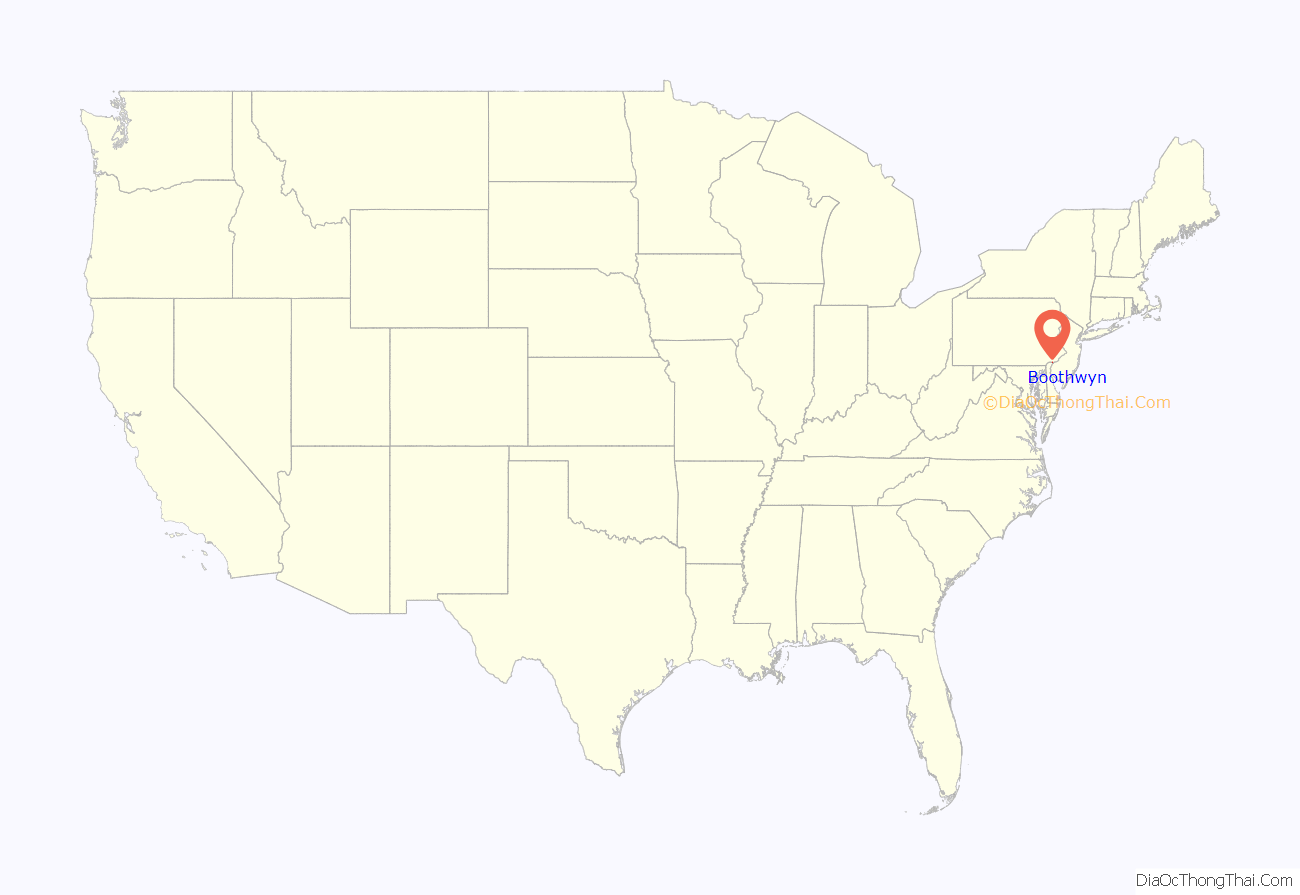
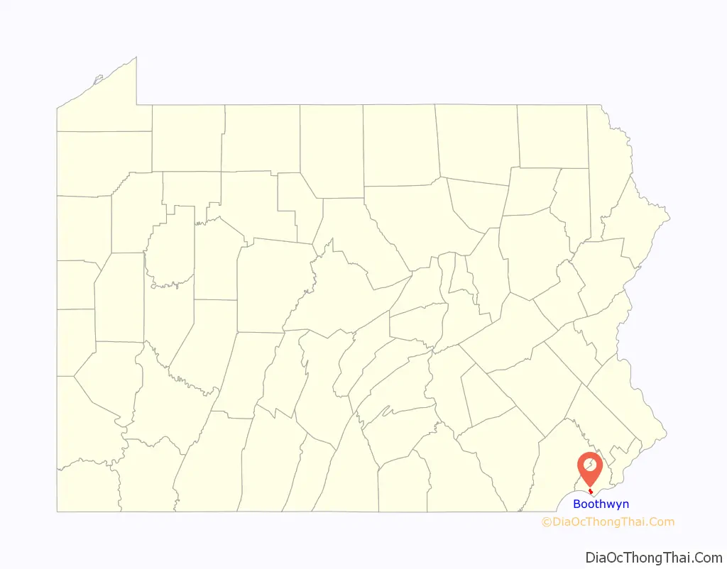
Boothwyn location map. Where is Boothwyn CDP?
History
The Chichester Friends Meeting, which was organized in 1682, with the current building constructed in 1769, is listed on the National Register of Historic Places. Bill Haley, who pioneered Rock n’ Roll with Bill Haley & His Comets, was a long-time resident of Boothwyn.
Local Favorite and Pennsylvania Amish Market “Booth’s Corner” is within the Bounds of Boothwyn, built at the corner of the old land holdings of Edwin Booth, who gives the building and Boothwyn its name.
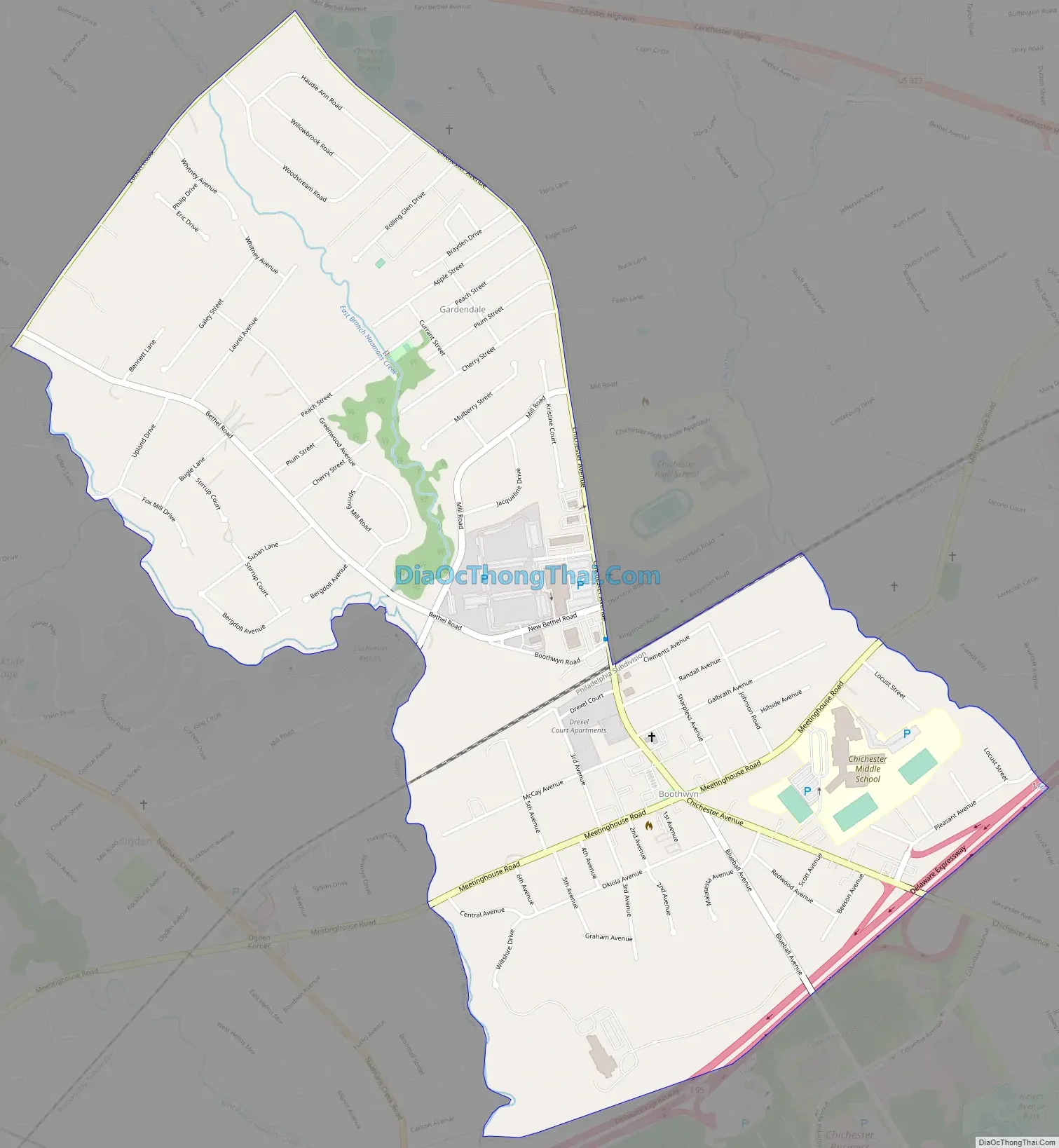
Boothwyn Road Map
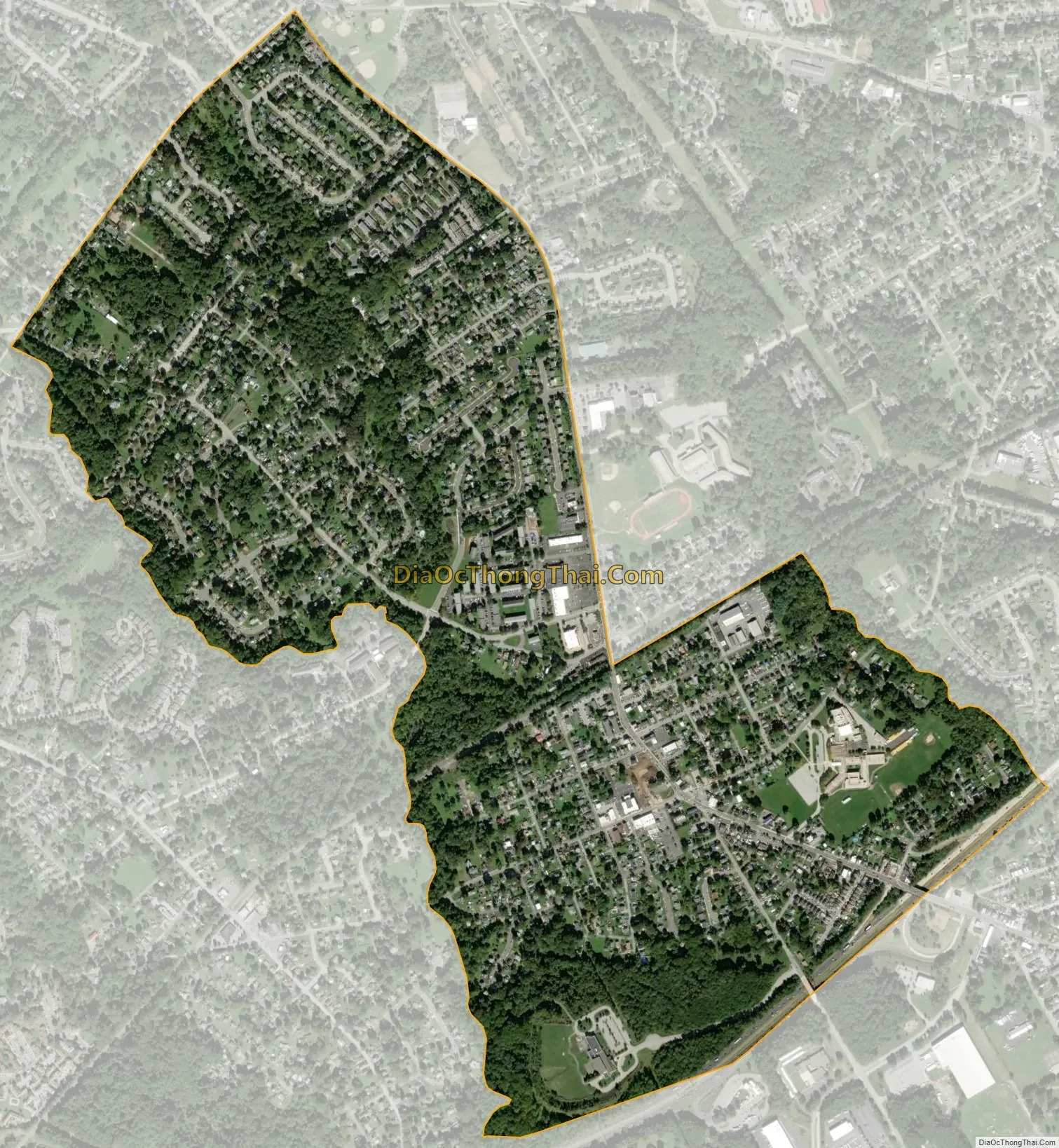
Boothwyn city Satellite Map
Geography
Boothwyn is located in southwestern Delaware County at 39°50′6″N 75°26′40″W / 39.83500°N 75.44444°W / 39.83500; -75.44444 (39.835115, -75.444507), in the southern part of Upper Chichester Township. The CDP contains the unincorporated communities of Boothwyn (southern part of the CDP) and Gardendale (northern part). Boothwyn is 6 miles (10 km) southwest of Chester and 10 miles (16 km) northeast of Wilmington, Delaware.
According to the United States Census Bureau, the CDP has a total area of 1.25 square miles (3.23 km), all land.
The Boothwyn, Reliance, and Ogden fire companies are located in Boothwyn.
See also
Map of Pennsylvania State and its subdivision:- Adams
- Allegheny
- Armstrong
- Beaver
- Bedford
- Berks
- Blair
- Bradford
- Bucks
- Butler
- Cambria
- Cameron
- Carbon
- Centre
- Chester
- Clarion
- Clearfield
- Clinton
- Columbia
- Crawford
- Cumberland
- Dauphin
- Delaware
- Elk
- Erie
- Fayette
- Forest
- Franklin
- Fulton
- Greene
- Huntingdon
- Indiana
- Jefferson
- Juniata
- Lackawanna
- Lancaster
- Lawrence
- Lebanon
- Lehigh
- Luzerne
- Lycoming
- Mc Kean
- Mercer
- Mifflin
- Monroe
- Montgomery
- Montour
- Northampton
- Northumberland
- Perry
- Philadelphia
- Pike
- Potter
- Schuylkill
- Snyder
- Somerset
- Sullivan
- Susquehanna
- Tioga
- Union
- Venango
- Warren
- Washington
- Wayne
- Westmoreland
- Wyoming
- York
- Alabama
- Alaska
- Arizona
- Arkansas
- California
- Colorado
- Connecticut
- Delaware
- District of Columbia
- Florida
- Georgia
- Hawaii
- Idaho
- Illinois
- Indiana
- Iowa
- Kansas
- Kentucky
- Louisiana
- Maine
- Maryland
- Massachusetts
- Michigan
- Minnesota
- Mississippi
- Missouri
- Montana
- Nebraska
- Nevada
- New Hampshire
- New Jersey
- New Mexico
- New York
- North Carolina
- North Dakota
- Ohio
- Oklahoma
- Oregon
- Pennsylvania
- Rhode Island
- South Carolina
- South Dakota
- Tennessee
- Texas
- Utah
- Vermont
- Virginia
- Washington
- West Virginia
- Wisconsin
- Wyoming


