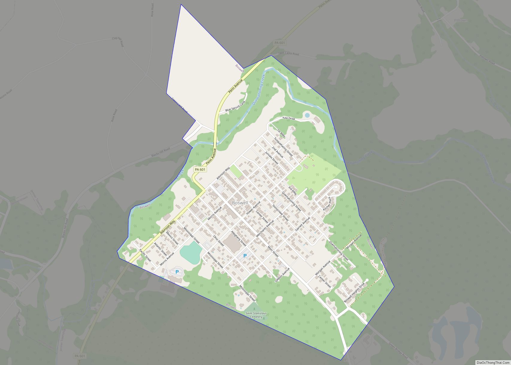
Boswell is a borough in Somerset County, Pennsylvania, United States. It is part of the Johnstown, Pennsylvania Metropolitan Statistical Area. The population was 1,221 at the 2020 census.
| Name: | Boswell borough |
|---|---|
| LSAD Code: | 21 |
| LSAD Description: | borough (suffix) |
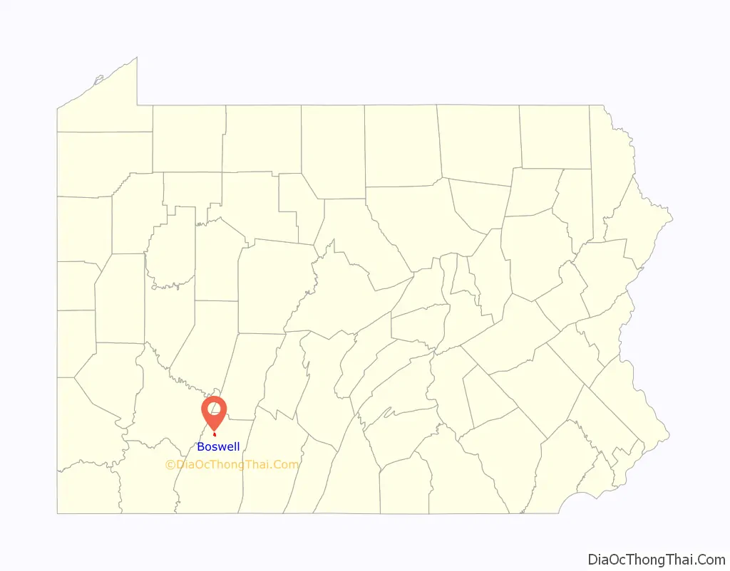
| State: | Pennsylvania |
| County: | Somerset County |
| Incorporated: | February 22, 1904 |
| Total Area: | 0.74 sq mi (1.91 km²) |
| Land Area: | 0.74 sq mi (1.91 km²) |
| Water Area: | 0.00 sq mi (0.00 km²) |
| Total Population: | 1,224 |
| Population Density: | 1,656.29/sq mi (639.27/km²) |
| Area code: | 814 |
| FIPS code: | 4207712 |
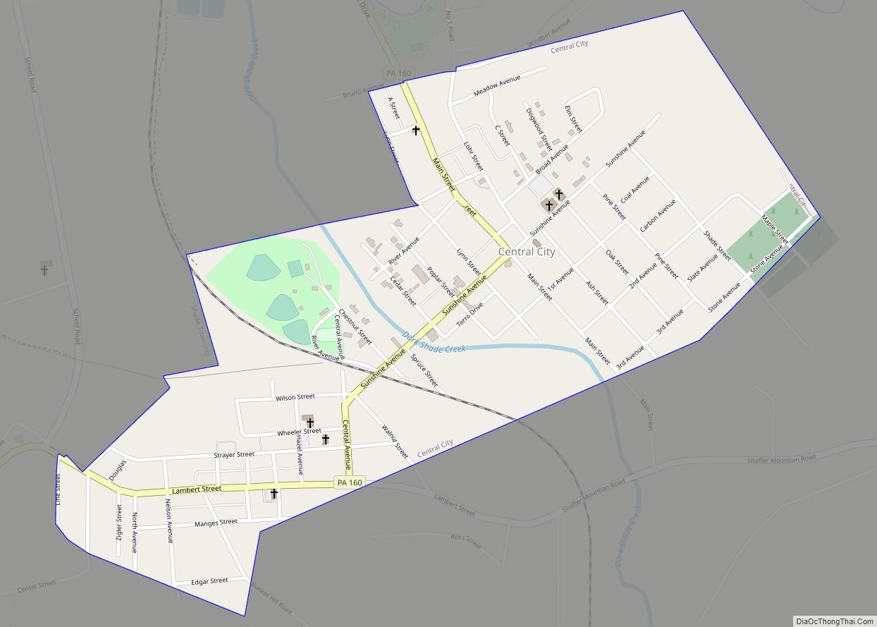
Online Interactive Map
Click on ![]() to view map in "full screen" mode.
to view map in "full screen" mode.
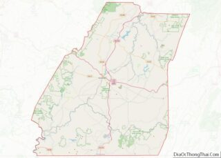
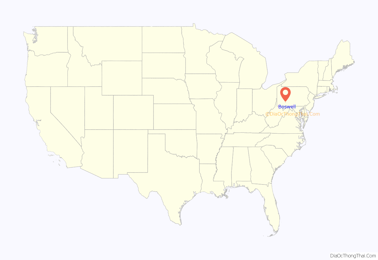
Boswell location map. Where is Boswell borough?
History
Boswell was settled in 1901 and incorporated as a borough on February 22, 1904. The community’s founder was Thomas Taylor Boswell, the first president and supervisor of the Merchants Coal Company. Mr. Boswell’s company purchased 14,000 acres (57 km) of mineral rights under local farmland and laid out 1,600 lots for coal company houses to house the miners for its new deep coal mine just to the north. Merchants Coal, and the related Orenda Coal, were subsidiaries of Hillman Coal and Coke Company of Pittsburgh, the same firm that built the neighboring town of Jerome, Pennsylvania.
Merchants Coal attempted to build Boswell to be a notch above surrounding coal company towns in that plans included a central business district, a high school, and homes constructed from brick, as opposed to the wood used elsewhere. This also helped to prevent the spread of fire, in the event that one would break out. Many of the original brick homes are still standing, with much of their original integrity. A branch of the Baltimore & Ohio railroad served Boswell and its coal mine. At its economic peak shortly after World War II, Boswell boasted two movie theatres, three department stores, a bank, several jewelry stores, a druggist, two funeral homes, three grocery stores, nearly a dozen restaurants and taverns, a lumber yard, and a weekly newspaper. Earlier, pre-Prohibition, Boswell also housed its own brewery.
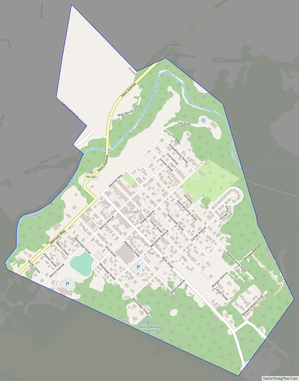
Boswell’s streets generally run perpendicular to its avenues, in a grid. Many of the avenues in Boswell are named after coal company officials. For example:
- Hower Avenue, after Charles E. Hower, a Surveyor from Johnstown.
- Morris Avenue, after W.H. Morris, a known builder from Johnstown
- Atkinson Way, after W.G. Atkinson, the Vice President of Merchants Coal Company.
At the same time, the borough’s street names can provide a geography lesson, following the flow of water from Boswell to the seas, with two exceptions made for streets in the central business district. Street names from north to south are: Quemahoning, Stonycreek, Center (in place of “Conemaugh” for the Conemaugh River), Main (in place of “Kiskiminetas” for the Kiskiminetas River), Allegheny, Ohio, Mississippi, Mexico (for the Gulf of Mexico), Atlantic and Pacific.
The mine, Orenda Mine #1, extracted high quality, semi-bituminous coal. A steam engine hoisted the coal to the surface. The hoist pulled the coal cars up a coal tipple that was 1,080 feet (330 m) long, 92 feet (28 m) high, and 60 feet (18 m) wide. In 1920, this was the largest coal tipple in the world. At its prime, 900 men were employed and over 3,000 tons of coal were mined daily. The company was eventually renamed to the United Coal Company and in 1918 it became the Davis Coal Company.
For most of its history, the mine at Boswell operated without union representation. An early attempt to unionize workers led to an armed riot on January 17, 1904. Seven were wounded and 20 arrested in the melee. A prolonged struggle for unionization, which began at Jerome and Windber in northern Somerset County in early April, 1922, extended to Boswell on April 17. By April 24, 1922, miners at Acosta, Gray, Ralphton, Randolph and Jenners also joined the strike, which was to last sixteen months. (For a more detailed discussion of the strike, see the wiki for Jerome, Pennsylvania.)
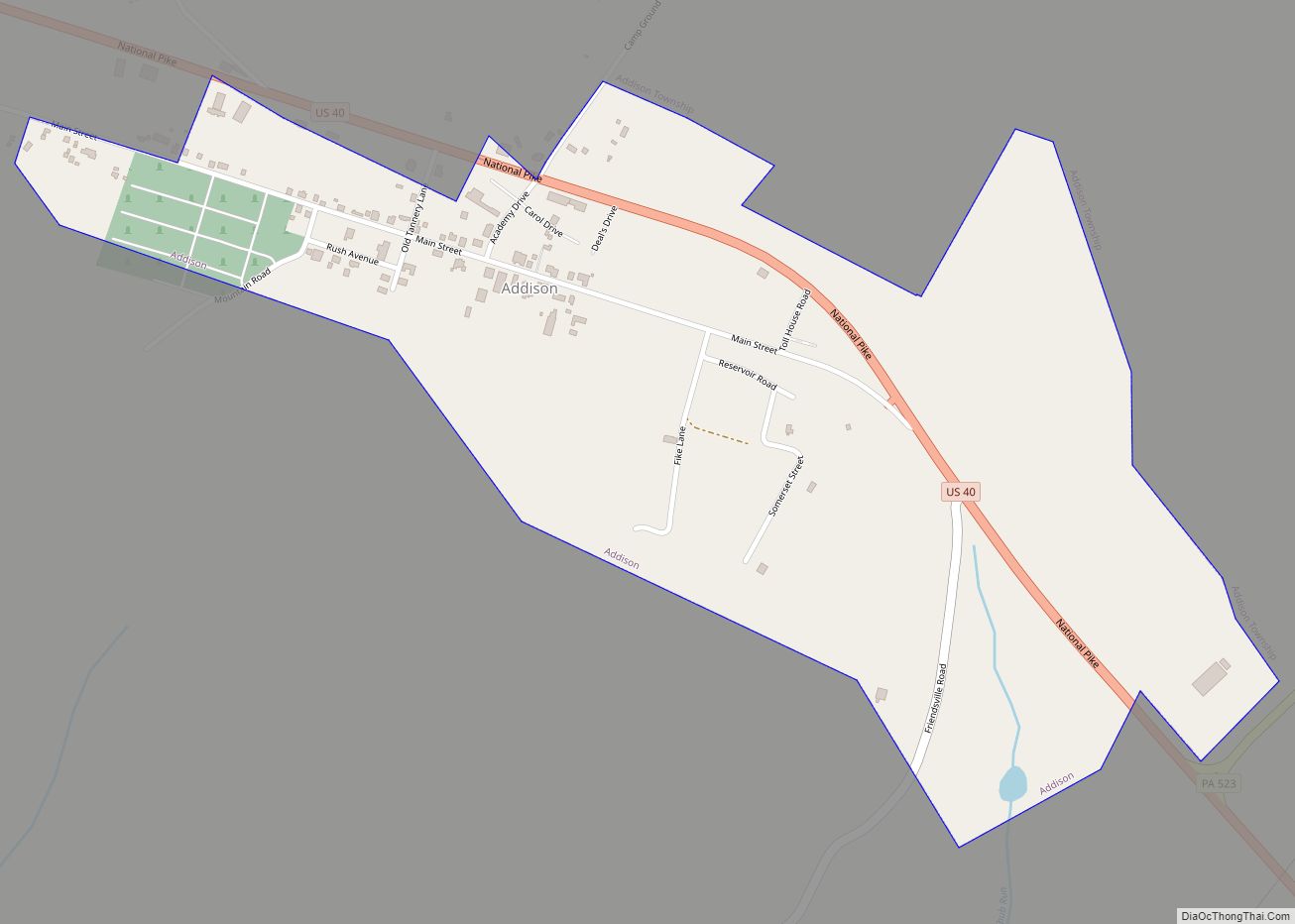
Boswell Road Map
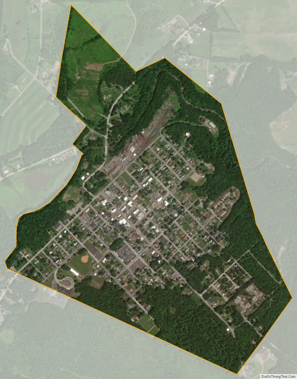
Boswell city Satellite Map
Geography
Boswell is located at 40°9′37″N 79°1′40″W / 40.16028°N 79.02778°W / 40.16028; -79.02778 (40.160329, -79.027712), approximately 60 miles (97 km) southwest of Altoona.
According to the United States Census Bureau, the borough has a total area of 0.7 square miles (1.8 km), all land.
See also
Map of Pennsylvania State and its subdivision:- Adams
- Allegheny
- Armstrong
- Beaver
- Bedford
- Berks
- Blair
- Bradford
- Bucks
- Butler
- Cambria
- Cameron
- Carbon
- Centre
- Chester
- Clarion
- Clearfield
- Clinton
- Columbia
- Crawford
- Cumberland
- Dauphin
- Delaware
- Elk
- Erie
- Fayette
- Forest
- Franklin
- Fulton
- Greene
- Huntingdon
- Indiana
- Jefferson
- Juniata
- Lackawanna
- Lancaster
- Lawrence
- Lebanon
- Lehigh
- Luzerne
- Lycoming
- Mc Kean
- Mercer
- Mifflin
- Monroe
- Montgomery
- Montour
- Northampton
- Northumberland
- Perry
- Philadelphia
- Pike
- Potter
- Schuylkill
- Snyder
- Somerset
- Sullivan
- Susquehanna
- Tioga
- Union
- Venango
- Warren
- Washington
- Wayne
- Westmoreland
- Wyoming
- York
- Alabama
- Alaska
- Arizona
- Arkansas
- California
- Colorado
- Connecticut
- Delaware
- District of Columbia
- Florida
- Georgia
- Hawaii
- Idaho
- Illinois
- Indiana
- Iowa
- Kansas
- Kentucky
- Louisiana
- Maine
- Maryland
- Massachusetts
- Michigan
- Minnesota
- Mississippi
- Missouri
- Montana
- Nebraska
- Nevada
- New Hampshire
- New Jersey
- New Mexico
- New York
- North Carolina
- North Dakota
- Ohio
- Oklahoma
- Oregon
- Pennsylvania
- Rhode Island
- South Carolina
- South Dakota
- Tennessee
- Texas
- Utah
- Vermont
- Virginia
- Washington
- West Virginia
- Wisconsin
- Wyoming