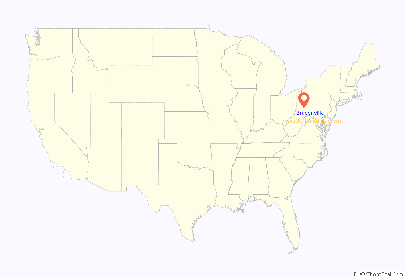
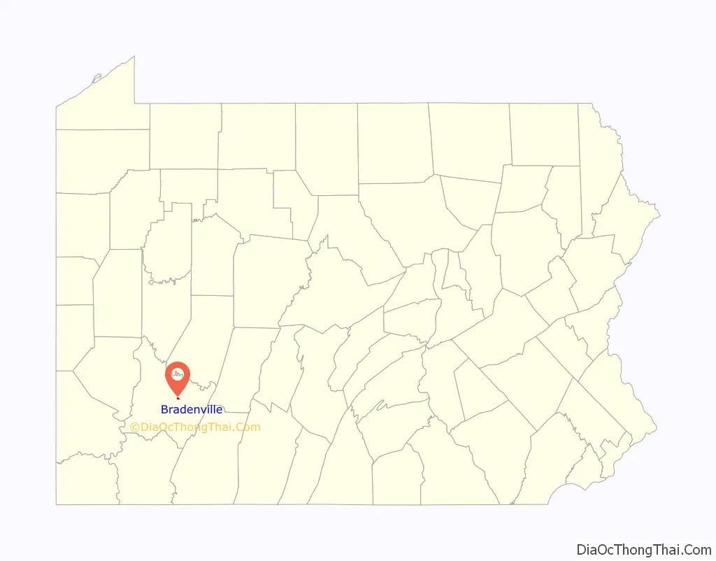
Bradenville is a census-designated place and coal town in Derry Township in Westmoreland County, Pennsylvania, United States. The community is located within two miles of the city of Latrobe and is three miles from the borough of Derry.
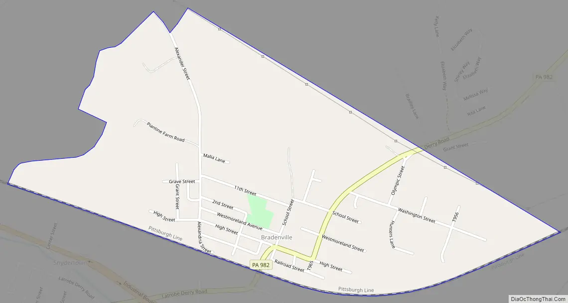
It has a total area of 0.4 square mile. Bradenville has its own post office, with zip code 15620.
| Name: | Bradenville CDP |
|---|---|
| LSAD Code: | 57 |
| LSAD Description: | CDP (suffix) |
| State: | Pennsylvania |
| County: | Westmoreland County |
| Elevation: | 1,099 ft (335 m) |
| Total Area: | 0.41 sq mi (1.06 km²) |
| Land Area: | 0.41 sq mi (1.06 km²) |
| Water Area: | 0.00 sq mi (0.00 km²) |
| Total Population: | 487 |
| Population Density: | 1,190.71/sq mi (459.56/km²) |
| ZIP code: | 15620 |
| FIPS code: | 4208024 |
| GNISfeature ID: | 1170128 |
Online Interactive Map
Click on ![]() to view map in "full screen" mode.
to view map in "full screen" mode.
Bradenville location map. Where is Bradenville CDP?
History
The town was originally called St. Clair City. Served by the Pennsylvania Railroad, it supported coal mining and coking operations beginning in 1886, operated under the names St. Clair Mine & Coke Works, Bradenville Mine & Coke Works and Duquesne Mine & Coke Works.
Mathias W. Saxman’s Bradenville Mine & Coke Works built about 40 company houses and a store in the town around 1914. By 1915, its Bradenville Mine employed 195 persons, produced over 110,000 tons of coal and operated 194 beehive coke ovens. The Bradenville Mine ceased operations in 1951.
Researchers in 1994 found that while the store (see Gallery section) and company houses survived, no mine structures remained.
Bradenville Road Map
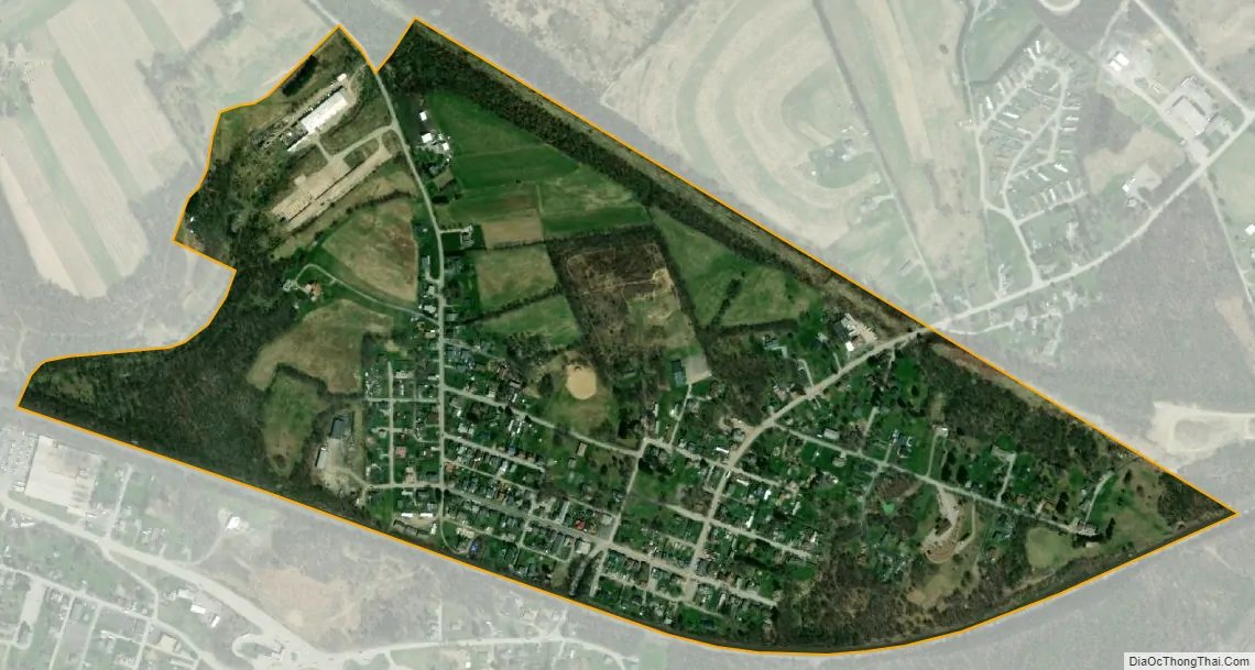
Bradenville city Satellite Map
See also
Map of Pennsylvania State and its subdivision:- Adams
- Allegheny
- Armstrong
- Beaver
- Bedford
- Berks
- Blair
- Bradford
- Bucks
- Butler
- Cambria
- Cameron
- Carbon
- Centre
- Chester
- Clarion
- Clearfield
- Clinton
- Columbia
- Crawford
- Cumberland
- Dauphin
- Delaware
- Elk
- Erie
- Fayette
- Forest
- Franklin
- Fulton
- Greene
- Huntingdon
- Indiana
- Jefferson
- Juniata
- Lackawanna
- Lancaster
- Lawrence
- Lebanon
- Lehigh
- Luzerne
- Lycoming
- Mc Kean
- Mercer
- Mifflin
- Monroe
- Montgomery
- Montour
- Northampton
- Northumberland
- Perry
- Philadelphia
- Pike
- Potter
- Schuylkill
- Snyder
- Somerset
- Sullivan
- Susquehanna
- Tioga
- Union
- Venango
- Warren
- Washington
- Wayne
- Westmoreland
- Wyoming
- York
- Alabama
- Alaska
- Arizona
- Arkansas
- California
- Colorado
- Connecticut
- Delaware
- District of Columbia
- Florida
- Georgia
- Hawaii
- Idaho
- Illinois
- Indiana
- Iowa
- Kansas
- Kentucky
- Louisiana
- Maine
- Maryland
- Massachusetts
- Michigan
- Minnesota
- Mississippi
- Missouri
- Montana
- Nebraska
- Nevada
- New Hampshire
- New Jersey
- New Mexico
- New York
- North Carolina
- North Dakota
- Ohio
- Oklahoma
- Oregon
- Pennsylvania
- Rhode Island
- South Carolina
- South Dakota
- Tennessee
- Texas
- Utah
- Vermont
- Virginia
- Washington
- West Virginia
- Wisconsin
- Wyoming


