Latrobe (/ləˈtroʊb/ lə-TROHB) is a city in Westmoreland County, Pennsylvania, United States. The population was 8,060 as of the 2020 census. A part of the Pittsburgh metropolitan area, it is located near Pennsylvania’s scenic Chestnut Ridge. Latrobe was incorporated as a borough in 1854, and as a city in 1999. The current mayor is Rosemarie M. Wolford.
Latrobe is the home of the Latrobe Brewery (the original brewer of Rolling Rock beer). Latrobe was the birthplace and childhood home of children’s television personality Fred Rogers as well as golfer Arnold Palmer. The banana split was invented there by David Strickler in 1904. Latrobe is also home to the training camp of the Pittsburgh Steelers. Latrobe was long recognized as the site of the first professional American football game in 1895 until research found an 1892 game with paid players.
| Name: | Latrobe borough |
|---|---|
| LSAD Code: | 21 |
| LSAD Description: | borough (suffix) |
| State: | Pennsylvania |
| County: | Westmoreland County |
| Elevation: | 997 ft (304 m) |
| Total Area: | 2.32 sq mi (6.00 km²) |
| Land Area: | 2.32 sq mi (6.00 km²) |
| Water Area: | 0.00 sq mi (0.00 km²) |
| Total Population: | 8,060 |
| Population Density: | 3,480.14/sq mi (1,343.95/km²) |
| ZIP code: | 15650 |
| Area code: | 724 |
| FIPS code: | 4241680 |
| Website: | cityoflatrobe.com |
Online Interactive Map
Click on ![]() to view map in "full screen" mode.
to view map in "full screen" mode.
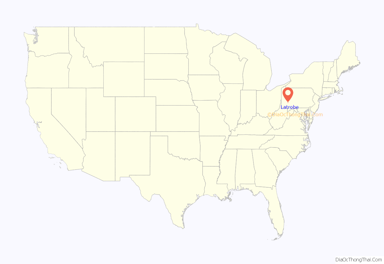
Latrobe location map. Where is Latrobe borough?

History
In 1852, Oliver Barnes (a civil engineer for the Pennsylvania Railroad) laid out the plans for the community that was incorporated in 1854 as the Borough of Latrobe. Barnes named the town for his best friend and college classmate, Benjamin Latrobe, who was a civil engineer for the B&O Railroad. (His father, Benjamin Henry Latrobe, was the architect who rebuilt the United States Capitol in Washington, D.C., after the War of 1812.)
Its location along the route of the Pennsylvania Railroad helped Latrobe develop into a significant industrial hub. Latrobe was also served by the Ligonier Valley Railroad from 1877 to 1952.
In 1904, the banana split was invented in Latrobe by David Evans Strickler at the pharmacy that later became named Strickler’s Drug Store.
Two interurban (long-distance trolley) lines served Latrobe:
- The Westmoreland County Railway Company connected Latrobe to Derry and operated from 1904 to 1932.
- The Latrobe Street Railway Company connected Latrobe to Kingston and began operations in 1900. This line was purchased by West Penn Railways, which eventually linked it with its network running through Youngstown, Pleasant Unity, and eventually to Greensburg and Uniontown. Service ceased in 1952.
Latrobe has two sites on the National Register of Historic Places within its city boundaries:
- Pennsylvania Railroad Station at Latrobe (325 McKinley Avenue): This station was built by the Pennsylvania Railroad in 1903.
- Citizens National Bank of Latrobe (816 Ligonier Street, at Main Street): This was previously known as the Mellon Bank Building. This six-story, 1926 structure was designed by the Greensburg firm of Batholomew and Smith.
The former Fort Sloan, a small fortress established by the British settlers in the 1700s, is now a private residence, situated on the corner of Cedar St. and Raymond Ave.
Latrobe Railroad Station (1903); National Register of Historic Places
Citizens National Bank (1926); National Register of Historic Places
Mozart Hall (1890)
Early professional football team
From 1895 until 1909, Latrobe was the home of the Latrobe Athletic Association, one of the earliest professional football teams. The team’s quarterback, John Brallier, became the first football player to admit playing for money. In 1895, he accepted $10 and expenses to play for Latrobe in a 12–0 victory over the Jeannette Athletic Club. Brallier was thought to be the first professional football player, until the 1960s. Then, documents surfaced showing that Pudge Heffelfinger, a former three-time All-American from Yale, was employed to play guard for the Allegheny Athletic Association three years earlier. In 1897, Latrobe was the first football team to play a full season with a team composed entirely of professional players. In 1898, Latrobe and two players from their rivals, the Greensburg Athletic Association, formed the first professional football all-star team for a game against the Duquesne Country and Athletic Club, to be played at Pittsburgh’s Exposition Park. Duquesne went on to win the game 16–0. On November 18, 1905, Latrobe defeated the Canton Bulldogs, which later became a founding member, and two-time champion, of the National Football League, 6–0.
Aside from Brallier, the Latrobe Athletic Association included several of the era’s top players, such as Ed Abbaticchio, Charles Barney, Alf Bull, Jack Gass, Walter Okeson, Harry Ryan, Doggie Trenchard, and Eddie Wood, and manager Dave Berry.
Brewing
The Latrobe Brewing Company, founded in 1939, was one of the largest breweries in the United States and the maker of Rolling Rock beer.
In May 2006, Anheuser-Busch purchased the Rolling Rock brands, but not the brewery. In June 2006, City Brewing Company from LaCrosse, Wisconsin, entered into negotiations to buy the brewery. In September 2006, City Brewing Company agreed to purchase the brewery, and they licensed it to the Boston Beer Company in April 2007 as a satellite brewery to produce Samuel Adams beers. Sam Adams production did not last long. The plant is currently brewing Iron City Beer under contract. In addition, Duquesne Bottling Company has brewed the revived Duquesne Beer, “The Prince of Pilseners”, at the Latrobe plant.
Mining
Coal mining was once an important industry in Westmoreland County. While mining activity has largely ceased, most of the city of Latrobe lies in a zone where abandoned underground mines are prevalent, according to a March 1, 2022 article in The Latrobe Bulletin. In 2017, a home in the city’s Cramer Heights neighborhood started to collapse after its foundation shifted. The house was condemned and eventually had to be torn down. After this incident, the Pennsylvania Department of Environmental Protection urged Latrobe residents to research whether their properties are undermined and consider applying for mine subsidence insurance.
Latrobe Road Map

Latrobe city Satellite Map

Geography
Latrobe is located at 40°18′54″N 79°22′52″W / 40.31500°N 79.38111°W / 40.31500; -79.38111 (40.314940, -79.381171). According to the United States Census Bureau, the city has a total area of 2.3 square miles (6.0 km), all land. It has a hot-summer humid continental climate (Dfa) and average monthly temperatures range from 28.9 °F in January to 72.0 °F in July.
Surrounding neighborhoods
Latrobe shares borders with the townships of Derry to the north, northwest, east, and southeast, and Unity to the west and southwest.
See also
Map of Pennsylvania State and its subdivision:- Adams
- Allegheny
- Armstrong
- Beaver
- Bedford
- Berks
- Blair
- Bradford
- Bucks
- Butler
- Cambria
- Cameron
- Carbon
- Centre
- Chester
- Clarion
- Clearfield
- Clinton
- Columbia
- Crawford
- Cumberland
- Dauphin
- Delaware
- Elk
- Erie
- Fayette
- Forest
- Franklin
- Fulton
- Greene
- Huntingdon
- Indiana
- Jefferson
- Juniata
- Lackawanna
- Lancaster
- Lawrence
- Lebanon
- Lehigh
- Luzerne
- Lycoming
- Mc Kean
- Mercer
- Mifflin
- Monroe
- Montgomery
- Montour
- Northampton
- Northumberland
- Perry
- Philadelphia
- Pike
- Potter
- Schuylkill
- Snyder
- Somerset
- Sullivan
- Susquehanna
- Tioga
- Union
- Venango
- Warren
- Washington
- Wayne
- Westmoreland
- Wyoming
- York
- Alabama
- Alaska
- Arizona
- Arkansas
- California
- Colorado
- Connecticut
- Delaware
- District of Columbia
- Florida
- Georgia
- Hawaii
- Idaho
- Illinois
- Indiana
- Iowa
- Kansas
- Kentucky
- Louisiana
- Maine
- Maryland
- Massachusetts
- Michigan
- Minnesota
- Mississippi
- Missouri
- Montana
- Nebraska
- Nevada
- New Hampshire
- New Jersey
- New Mexico
- New York
- North Carolina
- North Dakota
- Ohio
- Oklahoma
- Oregon
- Pennsylvania
- Rhode Island
- South Carolina
- South Dakota
- Tennessee
- Texas
- Utah
- Vermont
- Virginia
- Washington
- West Virginia
- Wisconsin
- Wyoming


