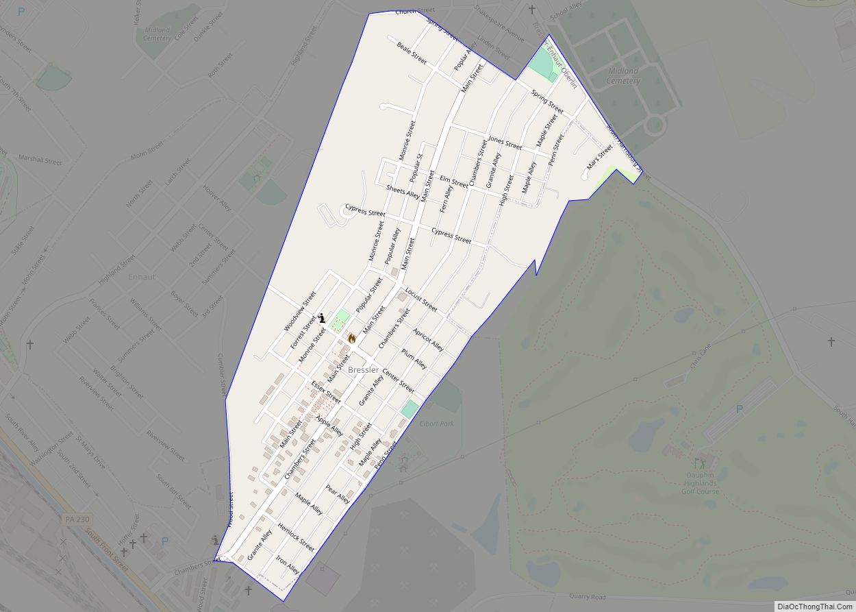
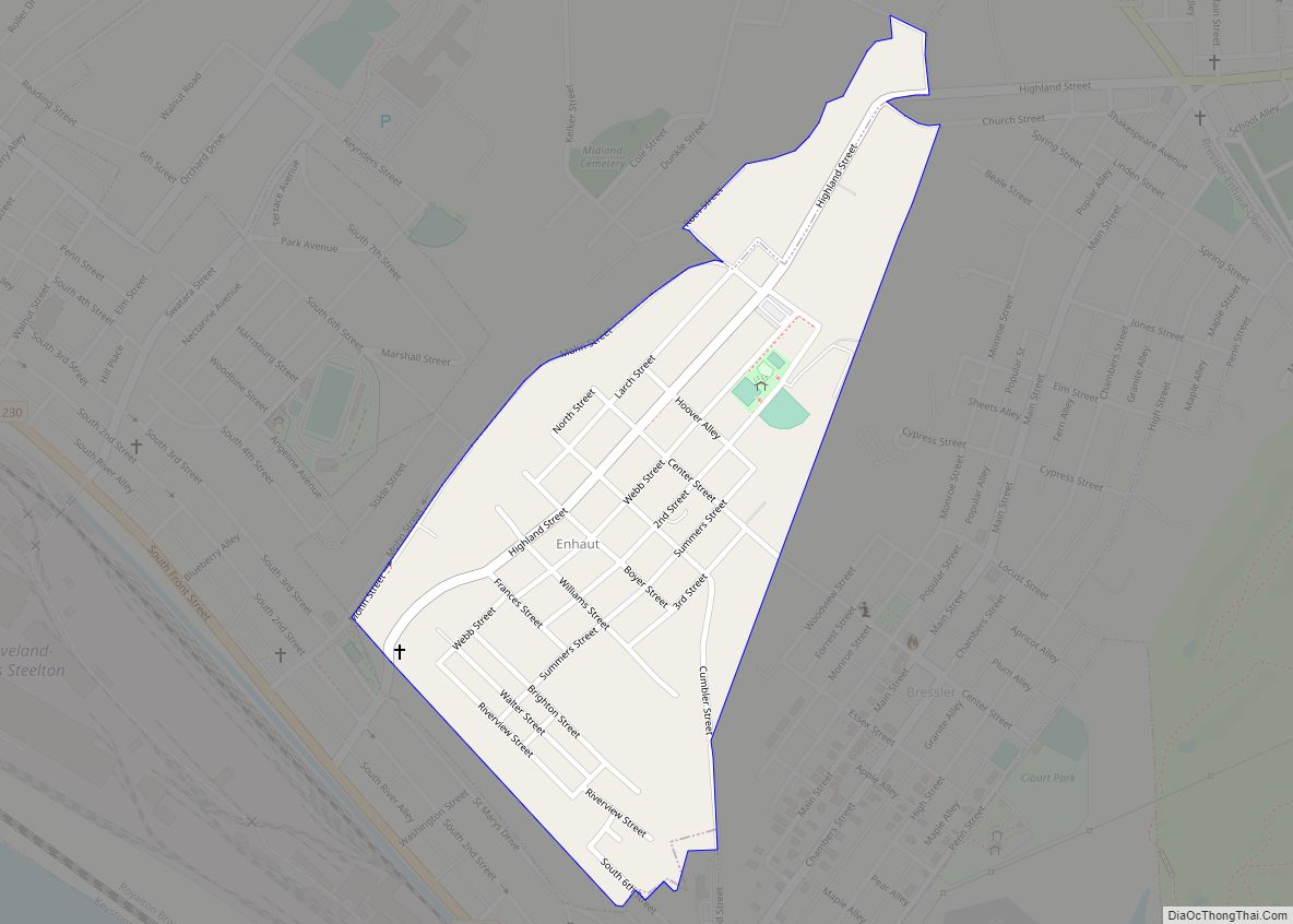
Bressler is an unincorporated community and census-designated place (CDP) located in Swatara Township, Dauphin County, in the U.S. state of Pennsylvania. The community was formerly part of the census-designated place of Bressler-Enhaut-Oberlin, before splitting into three separate CDPs for the 2010 census. As of the 2010 census the population of Bressler was 1,437.
Bressler Bible Church
Old school building
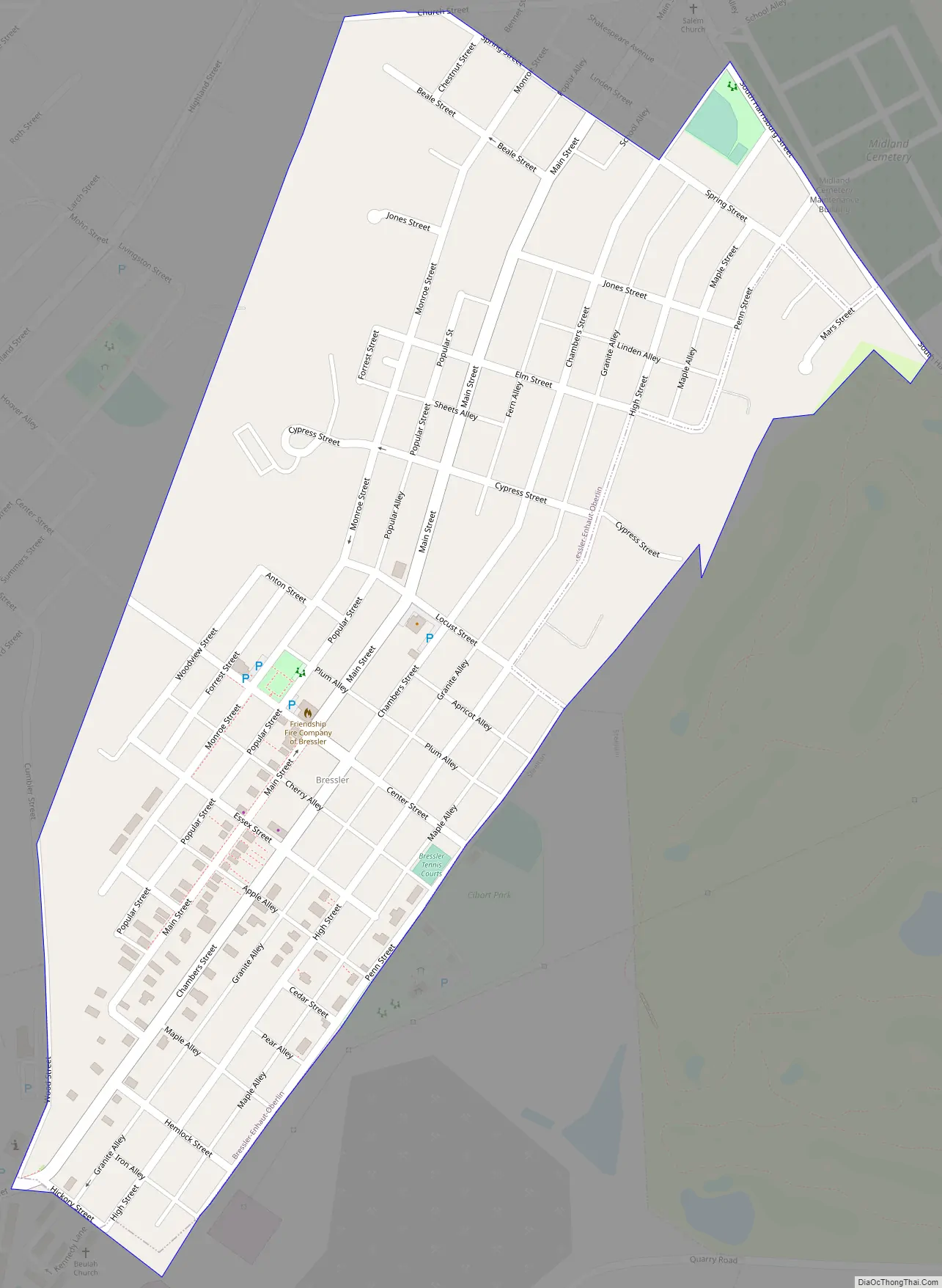
Bressler is located in southern Dauphin County, in the southwestern part of Swatara Township. It is part of the Harrisburg–Carlisle metropolitan statistical area. It is bordered to the south by the borough of Steelton, to the west by Enhaut, and to the north by Oberlin. It is 5 miles (8 km) southeast of downtown Harrisburg.
| Name: | Bressler CDP |
|---|---|
| LSAD Code: | 57 |
| LSAD Description: | CDP (suffix) |
| State: | Pennsylvania |
| County: | Dauphin County |
| Elevation: | 490 ft (150 m) |
| Total Area: | 0.32 sq mi (0.82 km²) |
| Land Area: | 0.32 sq mi (0.82 km²) |
| Water Area: | 0.00 sq mi (0.00 km²) |
| Total Population: | 1,512 |
| Population Density: | 4,769.72/sq mi (1,842.86/km²) |
| ZIP code: | 17113 |
| FIPS code: | 4208432 |
| GNISfeature ID: | 1170204 |
Online Interactive Map
Click on ![]() to view map in "full screen" mode.
to view map in "full screen" mode.
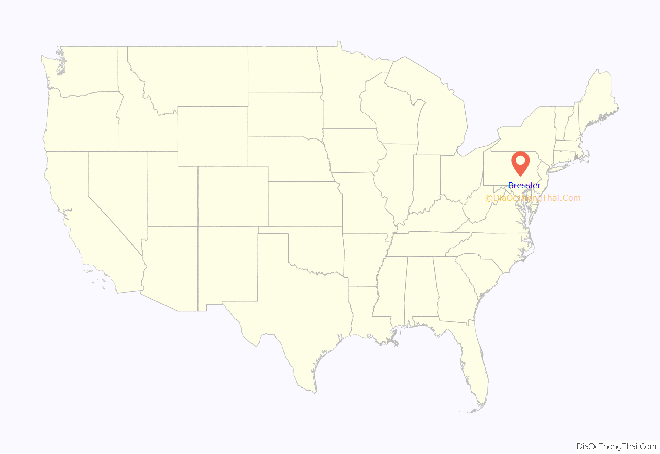
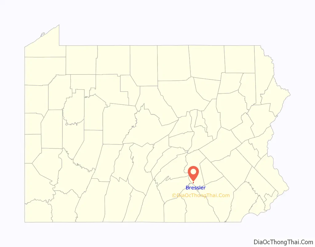
Bressler location map. Where is Bressler CDP?
Bressler Road Map
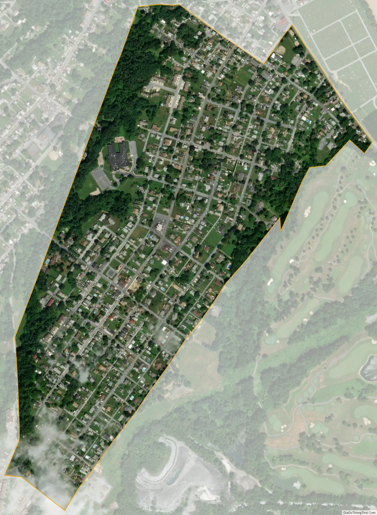
Bressler city Satellite Map
See also
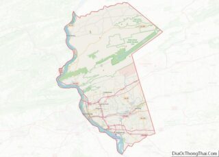
Map of Pennsylvania State and its subdivision:- Adams
- Allegheny
- Armstrong
- Beaver
- Bedford
- Berks
- Blair
- Bradford
- Bucks
- Butler
- Cambria
- Cameron
- Carbon
- Centre
- Chester
- Clarion
- Clearfield
- Clinton
- Columbia
- Crawford
- Cumberland
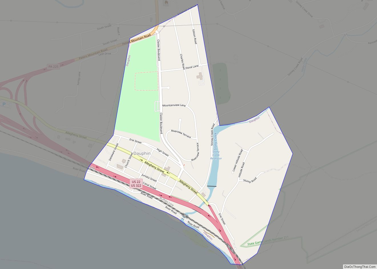
- Dauphin
- Delaware
- Elk
- Erie
- Fayette
- Forest
- Franklin
- Fulton
- Greene
- Huntingdon
- Indiana
- Jefferson
- Juniata
- Lackawanna
- Lancaster
- Lawrence
- Lebanon
- Lehigh
- Luzerne
- Lycoming
- Mc Kean
- Mercer
- Mifflin
- Monroe
- Montgomery
- Montour
- Northampton
- Northumberland
- Perry
- Philadelphia
- Pike
- Potter
- Schuylkill
- Snyder
- Somerset
- Sullivan
- Susquehanna
- Tioga
- Union
- Venango
- Warren
- Washington
- Wayne
- Westmoreland
- Wyoming
- York
- Alabama
- Alaska
- Arizona
- Arkansas
- California
- Colorado
- Connecticut
- Delaware
- District of Columbia
- Florida
- Georgia
- Hawaii
- Idaho
- Illinois
- Indiana
- Iowa
- Kansas
- Kentucky
- Louisiana
- Maine
- Maryland
- Massachusetts
- Michigan
- Minnesota
- Mississippi
- Missouri
- Montana
- Nebraska
- Nevada
- New Hampshire
- New Jersey
- New Mexico
- New York
- North Carolina
- North Dakota
- Ohio
- Oklahoma
- Oregon
- Pennsylvania
- Rhode Island
- South Carolina
- South Dakota
- Tennessee
- Texas
- Utah
- Vermont
- Virginia
- Washington
- West Virginia
- Wisconsin
- Wyoming