Broomall is a census-designated place (CDP) in Marple Township, Delaware County, Pennsylvania, United States. The population was 10,789 at the 2010 census.
| Name: | Broomall CDP |
|---|---|
| LSAD Code: | 57 |
| LSAD Description: | CDP (suffix) |
| State: | Pennsylvania |
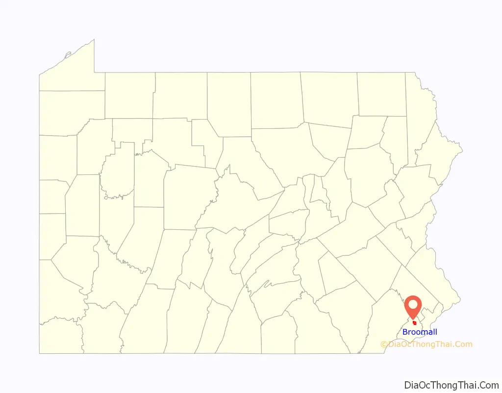
| County: | Delaware County |
| Elevation: | 351 ft (107 m) |
| Total Area: | 3.17 sq mi (8.21 km²) |
| Land Area: | 3.17 sq mi (8.21 km²) |
| Water Area: | 0.00 sq mi (0.00 km²) |
| Total Population: | 11,718 |
| Population Density: | 3,698.86/sq mi (1,428.08/km²) |
| ZIP code: | 19008 |
| Area code: | 610 and 484 |
| FIPS code: | 4209248 |
Online Interactive Map
Click on ![]() to view map in "full screen" mode.
to view map in "full screen" mode.
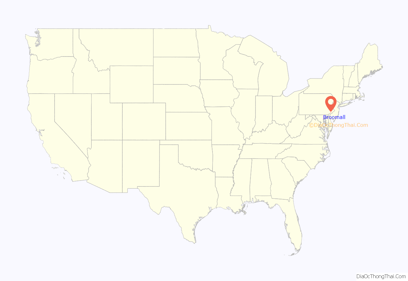
Broomall location map. Where is Broomall CDP?
History
This crossroads community was renamed for the post office established to honor John Martin Broomall, a 19th-century U.S. congressman, Electoral College member (at Ulysses S. Grant’s 1872 presidential election), and Chester Gas Company president from Upper Chichester Township in Delaware County, Pennsylvania.
Broomall is home to the biotechnology company Drummond Scientific Company. Drummond’s Pipet-Aid pipette controller, released in 1972, improved accuracy and pipetting capabilities in laboratories.
The Thomas Massey House is listed on the National Register of Historic Places.
Broomall Road Map
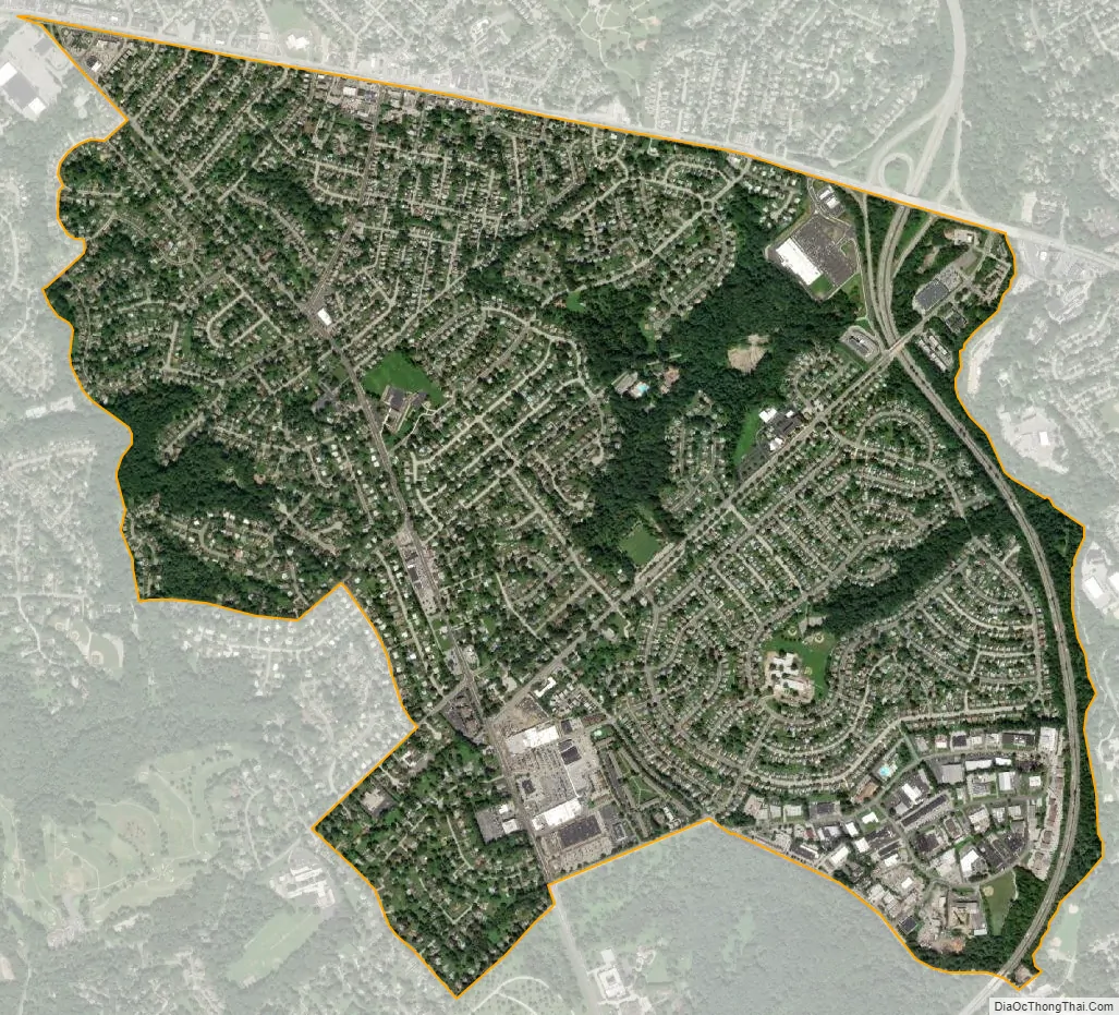
Broomall city Satellite Map
Geography
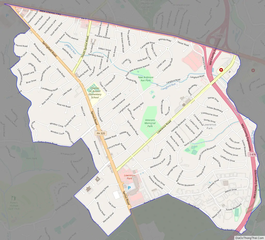
Broomall is located in northeastern Delaware County at 39°58′18″N 75°21′17″W / 39.97167°N 75.35472°W / 39.97167; -75.35472 (39.971561, −75.354674). It is in the eastern part of Marple Township and is bordered to the east by Darby Creek and to the north by Pennsylvania Route 3 (West Chester Pike). Pennsylvania Route 320 (Sproul Road) is the main north–south road in the community. Broomall is 10 miles (16 km) west of Center City Philadelphia.
According to the United States Census Bureau, the CDP has a total area of 2.9 square miles (7.5 km), all land. The climate is a hot-summer humid continental climate (Dfa) very closely bordering a humid subtropical climate (Cfa). PRISM Climate Group, Oregon State U Average monthly temperatures range from 31.9 °F in January to 77.1 °F in July. PRISM Climate Group, Oregon State U The local hardiness zone is 7a.
See also
Map of Pennsylvania State and its subdivision:- Adams
- Allegheny
- Armstrong
- Beaver
- Bedford
- Berks
- Blair
- Bradford
- Bucks
- Butler
- Cambria
- Cameron
- Carbon
- Centre
- Chester
- Clarion
- Clearfield
- Clinton
- Columbia
- Crawford
- Cumberland
- Dauphin
- Delaware
- Elk
- Erie
- Fayette
- Forest
- Franklin
- Fulton
- Greene
- Huntingdon
- Indiana
- Jefferson
- Juniata
- Lackawanna
- Lancaster
- Lawrence
- Lebanon
- Lehigh
- Luzerne
- Lycoming
- Mc Kean
- Mercer
- Mifflin
- Monroe
- Montgomery
- Montour
- Northampton
- Northumberland
- Perry
- Philadelphia
- Pike
- Potter
- Schuylkill
- Snyder
- Somerset
- Sullivan
- Susquehanna
- Tioga
- Union
- Venango
- Warren
- Washington
- Wayne
- Westmoreland
- Wyoming
- York
- Alabama
- Alaska
- Arizona
- Arkansas
- California
- Colorado
- Connecticut
- Delaware
- District of Columbia
- Florida
- Georgia
- Hawaii
- Idaho
- Illinois
- Indiana
- Iowa
- Kansas
- Kentucky
- Louisiana
- Maine
- Maryland
- Massachusetts
- Michigan
- Minnesota
- Mississippi
- Missouri
- Montana
- Nebraska
- Nevada
- New Hampshire
- New Jersey
- New Mexico
- New York
- North Carolina
- North Dakota
- Ohio
- Oklahoma
- Oregon
- Pennsylvania
- Rhode Island
- South Carolina
- South Dakota
- Tennessee
- Texas
- Utah
- Vermont
- Virginia
- Washington
- West Virginia
- Wisconsin
- Wyoming


