Castanea is a census-designated place (CDP) in Castanea Township, Clinton County, Pennsylvania, United States. The population was 1,125 at the 2010 census.
| Name: | Castanea CDP |
|---|---|
| LSAD Code: | 57 |
| LSAD Description: | CDP (suffix) |
| State: | Pennsylvania |
| County: | Clinton County |
| Elevation: | 600 ft (200 m) |
| Total Area: | 1.39 sq mi (3.60 km²) |
| Land Area: | 1.36 sq mi (3.53 km²) |
| Water Area: | 0.03 sq mi (0.07 km²) |
| Total Population: | 1,047 |
| Population Density: | 767.60/sq mi (296.36/km²) |
| ZIP code: | 17726 |
| FIPS code: | 4211648 |
| GNISfeature ID: | 1171315 |
Online Interactive Map
Click on ![]() to view map in "full screen" mode.
to view map in "full screen" mode.
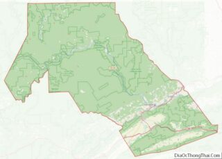
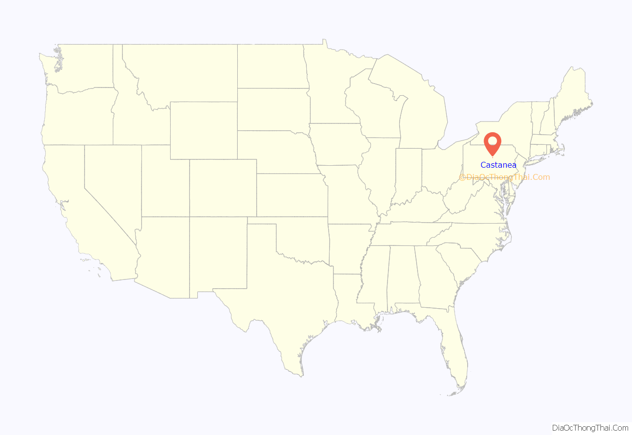
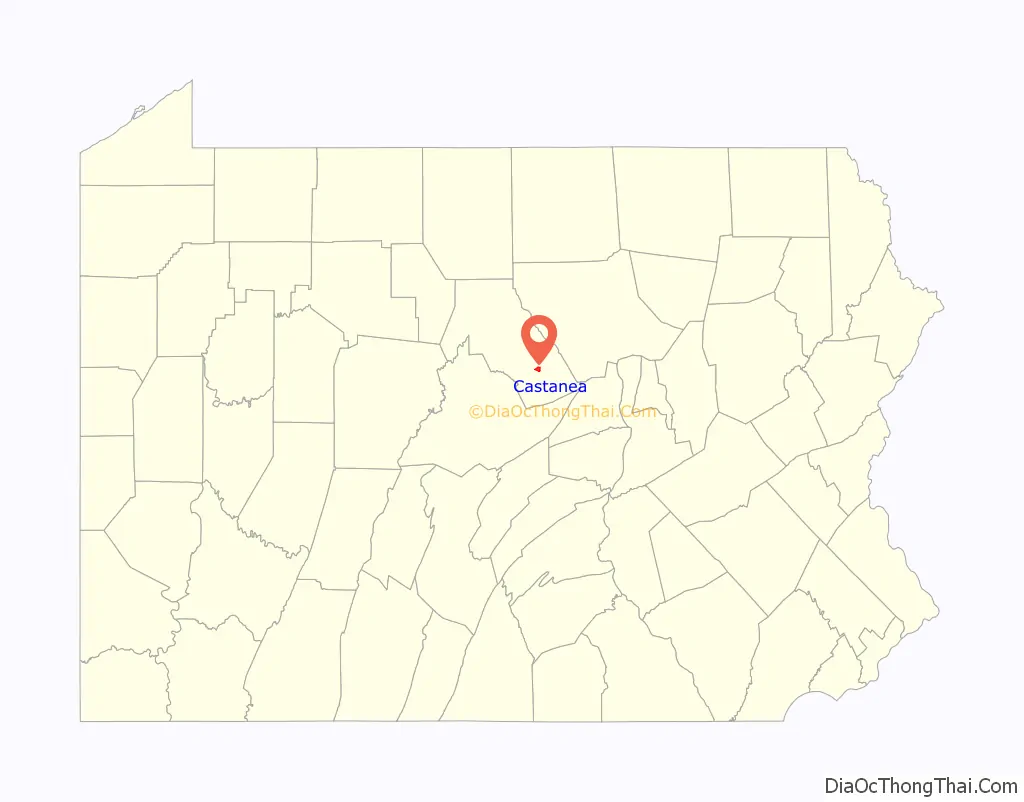
Castanea location map. Where is Castanea CDP?
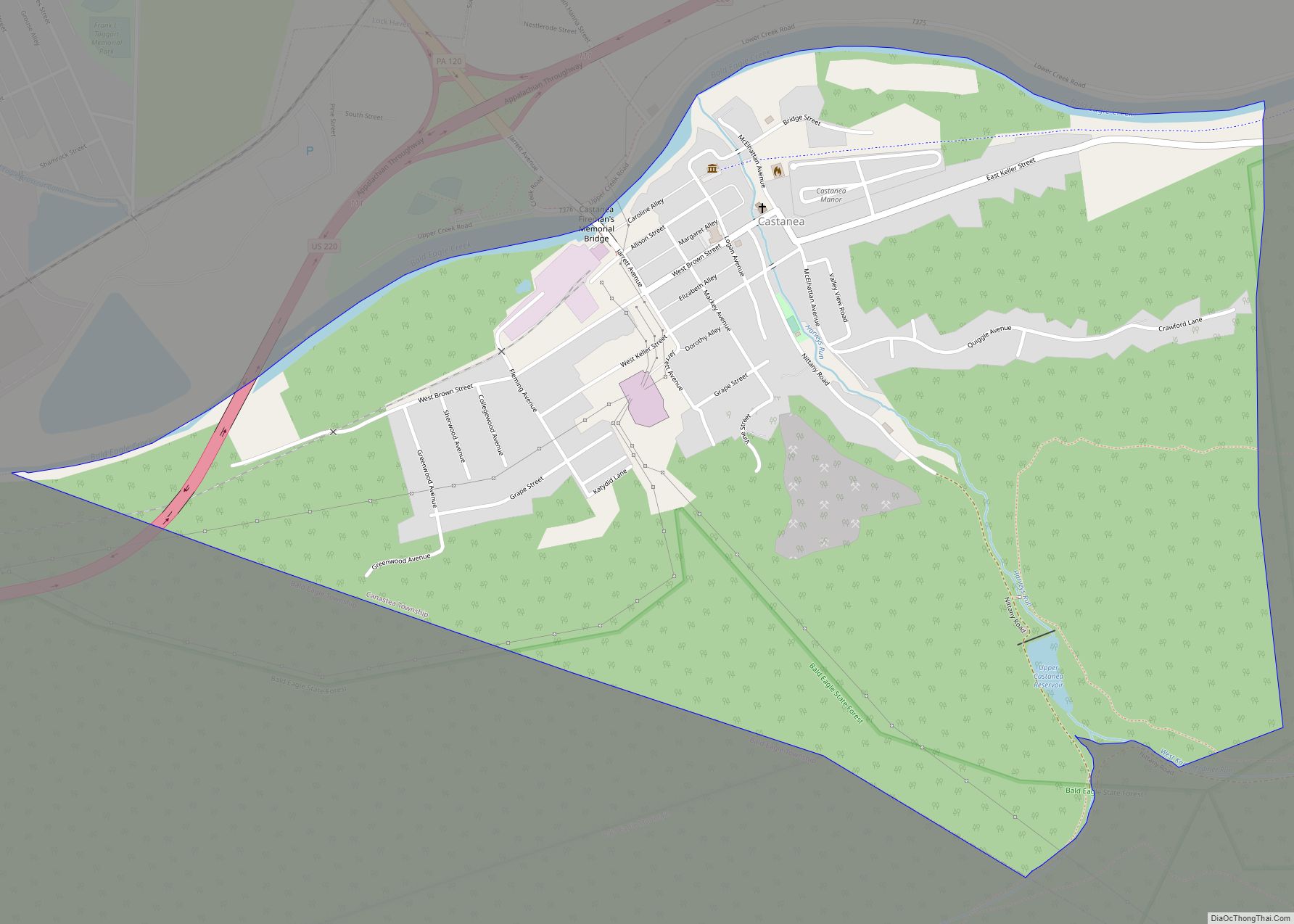
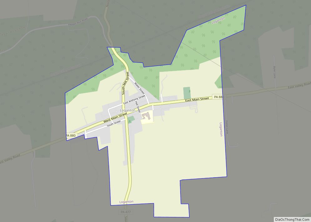
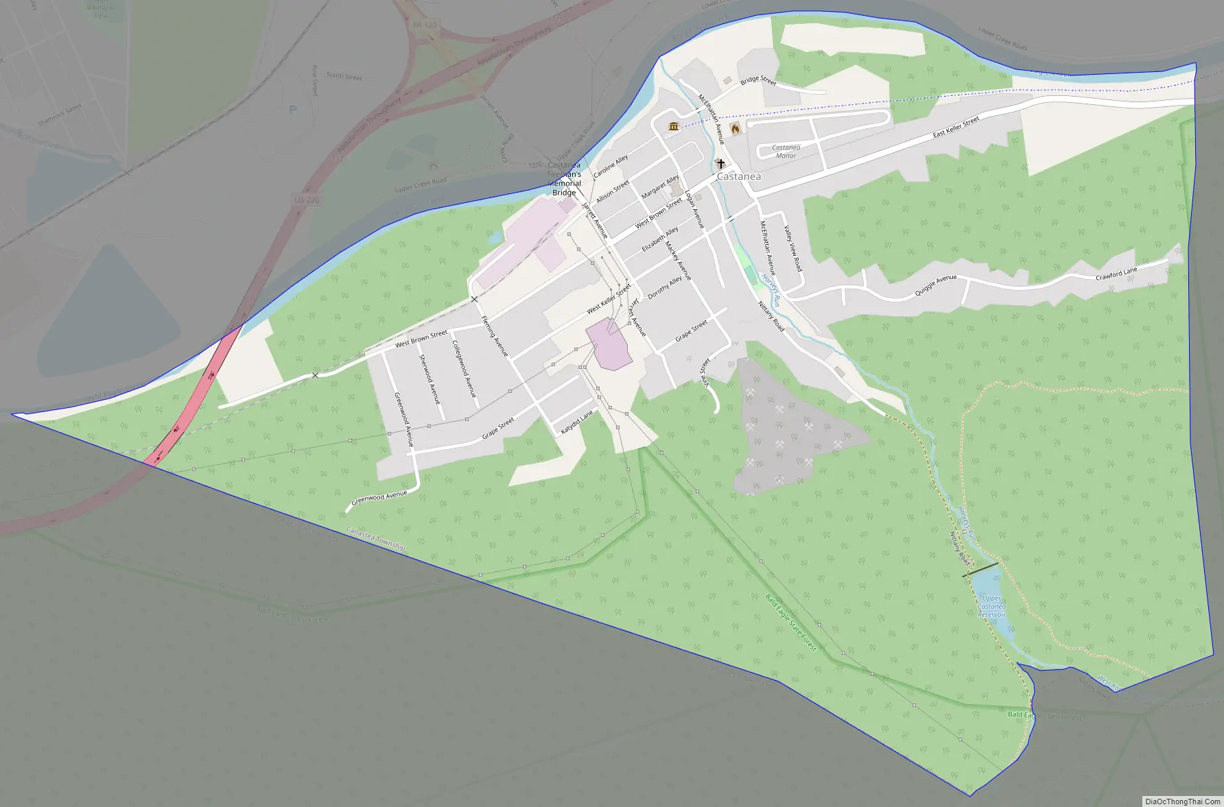
Castanea Road Map
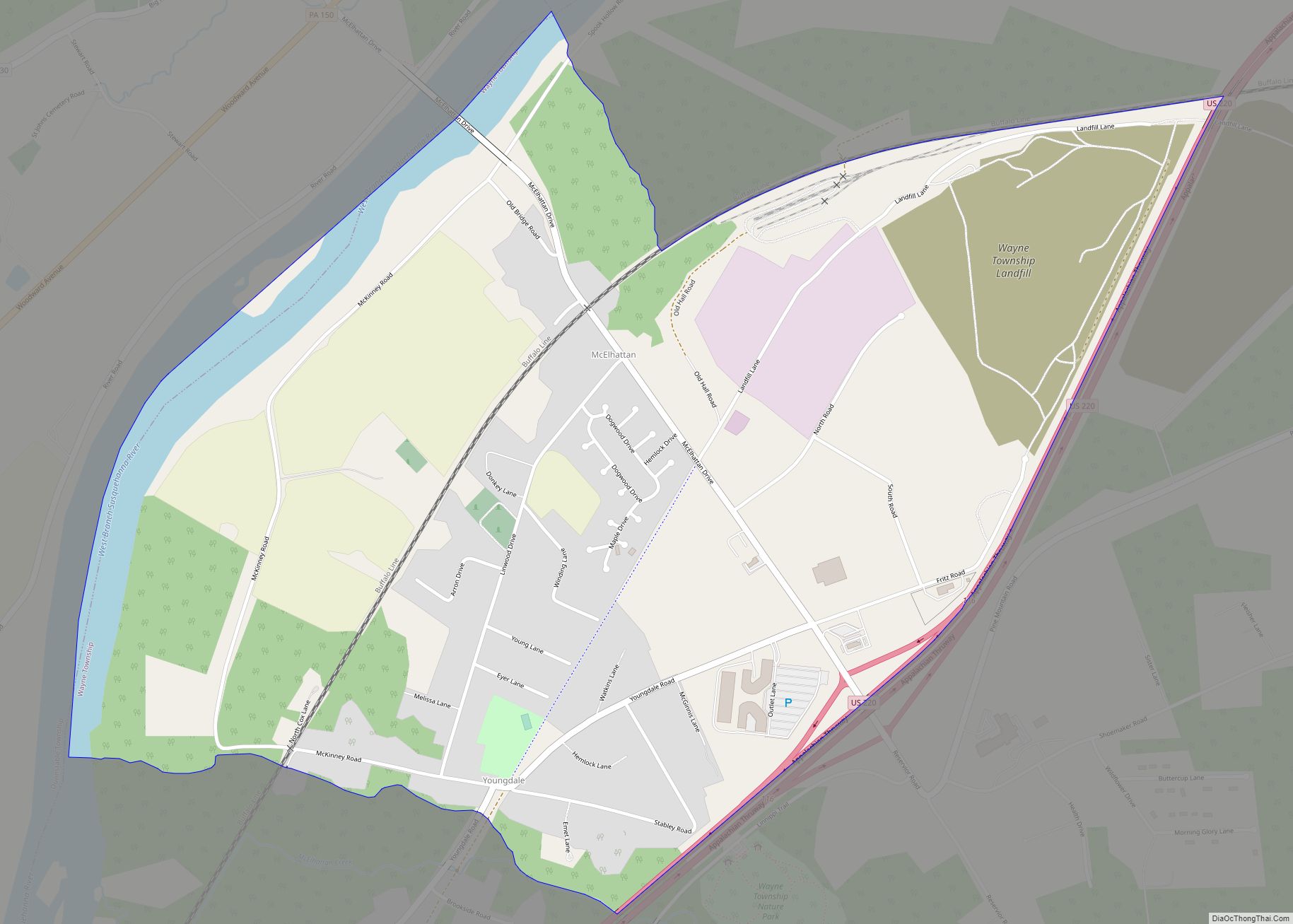
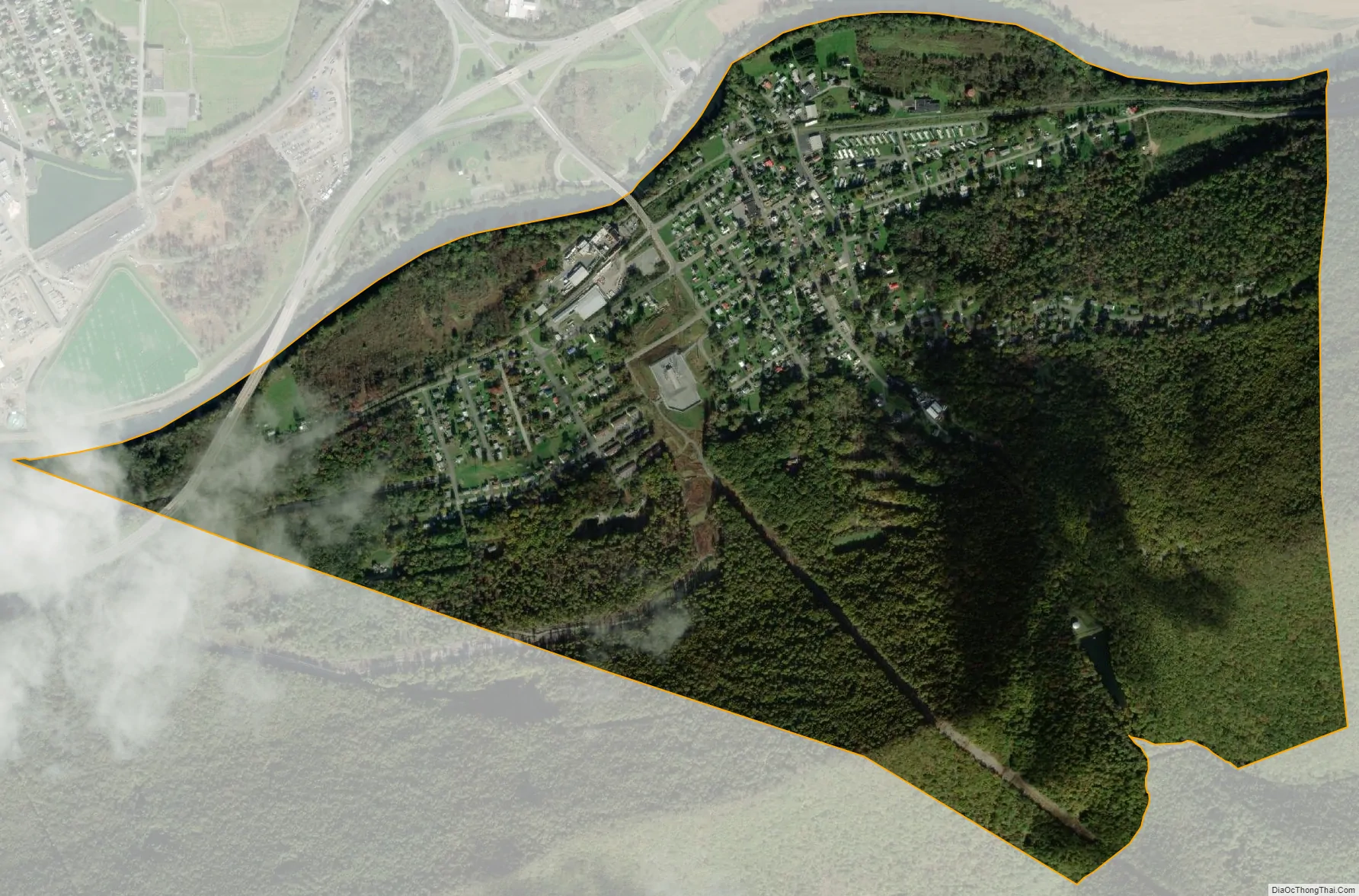
Castanea city Satellite Map
Geography
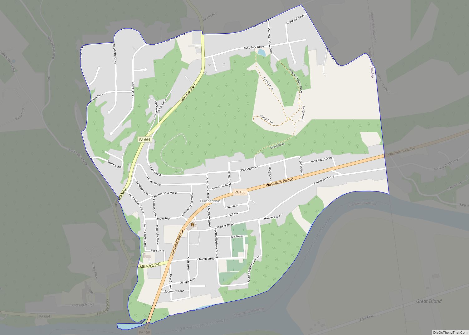
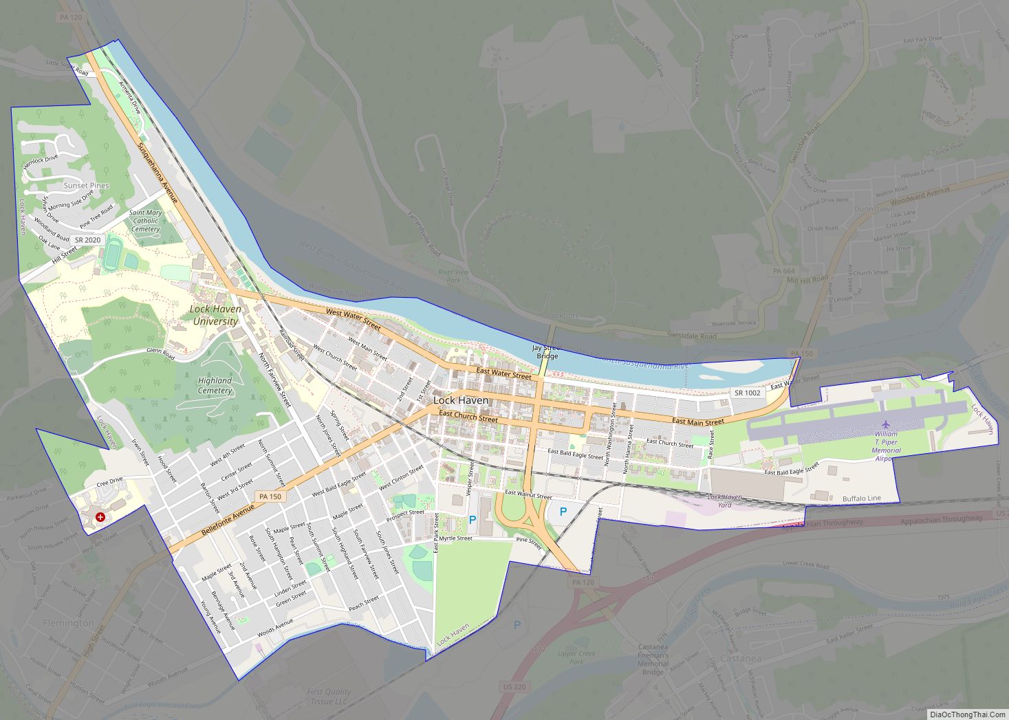
Castanea is located in southeastern Clinton County at 41°7′22″N 77°25′57″W / 41.12278°N 77.43250°W / 41.12278; -77.43250 (41.122882, -77.432578). It occupies most of the western side of Castanea Township. The community occupies an area bordered by Bald Eagle Creek to the north and Bald Eagle Mountain to the south. Jarrett Avenue crosses Bald Eagle Creek, connecting the center of town with U.S. Route 220 and the city of Lock Haven to the north.
According to the United States Census Bureau, the Castanea CDP has a total area of 1.39 square miles (3.60 km), of which 1.36 square miles (3.53 km) is land and 0.03 square miles (0.07 km), or 1.94%, is water.
See also
Map of Pennsylvania State and its subdivision:- Adams
- Allegheny
- Armstrong
- Beaver
- Bedford
- Berks
- Blair
- Bradford
- Bucks
- Butler
- Cambria
- Cameron
- Carbon
- Centre
- Chester
- Clarion
- Clearfield
- Clinton
- Columbia
- Crawford
- Cumberland
- Dauphin
- Delaware
- Elk
- Erie
- Fayette
- Forest
- Franklin
- Fulton
- Greene
- Huntingdon
- Indiana
- Jefferson
- Juniata
- Lackawanna
- Lancaster
- Lawrence
- Lebanon
- Lehigh
- Luzerne
- Lycoming
- Mc Kean
- Mercer
- Mifflin
- Monroe
- Montgomery
- Montour
- Northampton
- Northumberland
- Perry
- Philadelphia
- Pike
- Potter
- Schuylkill
- Snyder
- Somerset
- Sullivan
- Susquehanna
- Tioga
- Union
- Venango
- Warren
- Washington
- Wayne
- Westmoreland
- Wyoming
- York
- Alabama
- Alaska
- Arizona
- Arkansas
- California
- Colorado
- Connecticut
- Delaware
- District of Columbia
- Florida
- Georgia
- Hawaii
- Idaho
- Illinois
- Indiana
- Iowa
- Kansas
- Kentucky
- Louisiana
- Maine
- Maryland
- Massachusetts
- Michigan
- Minnesota
- Mississippi
- Missouri
- Montana
- Nebraska
- Nevada
- New Hampshire
- New Jersey
- New Mexico
- New York
- North Carolina
- North Dakota
- Ohio
- Oklahoma
- Oregon
- Pennsylvania
- Rhode Island
- South Carolina
- South Dakota
- Tennessee
- Texas
- Utah
- Vermont
- Virginia
- Washington
- West Virginia
- Wisconsin
- Wyoming